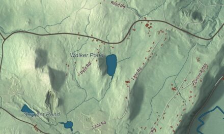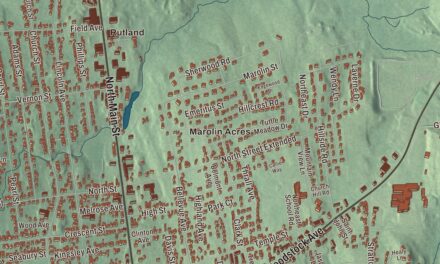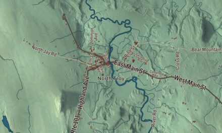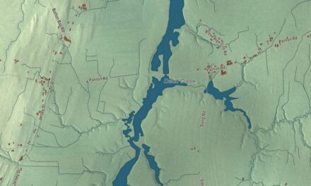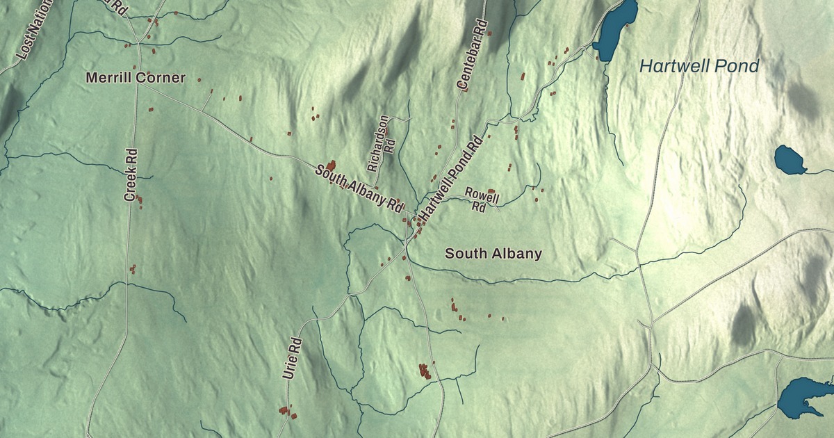
Albany is a town of four villages, and this map prints three of them, South Albany, East Albany and Albany Center, along with Merrill Corner. Look for Great Hosmer Pond, Hartwell Pond and Page Pond among the hills, and for Main Street, Center Road, Cheney Road and Barton Road tying the town together.
Albany is in Orleans County, and its river runs north to Lake Memphremagog.
KNOWOL made this map in 2026 from public survey data and gave it the look of an old atlas. The shaded terrain comes from United States Geological Survey elevation data, and the town’s page calls the ground “hilly and uneven,” with the highest point in the northwest, cut off from the main chain of the Green Mountains by a brook. The roads and the town line come from the Census Bureau, from Hitchcock Hill Road to Chamberlin Hill Road. Albany covers 38.7 square miles, and it had 976 people at the 2020 census, 166 of them in the incorporated village. Click here to purchase a print of this map for your wall.
From Lutterloh to Albany
The land was first granted on June 26, 1782, to Colonel Antipas Gilman and his associates, and the town carried the name Lutterloh until 1815, when it became Albany. Today it holds the incorporated village of Albany and the unincorporated villages of Albany Center, East Albany and South Albany. Route 14 is the main road through town.
Before the Civil War, the Reverend George Putnam of Albany was an agent of the Underground Railroad, helping people who were escaping slavery. Willard W. Miles was born in Albany in 1845. He went to school here, taught here, was the town’s school superintendent in 1867 and represented Albany in the Vermont House from 1872 to 1874, and later, after moving to Barton, he served two terms as an associate justice of the Vermont Supreme Court, from 1905 to 1906 and again from 1917 to 1923. In the early 2000s the Northeast Kingdom Music Festival held yearly performances in Albany.
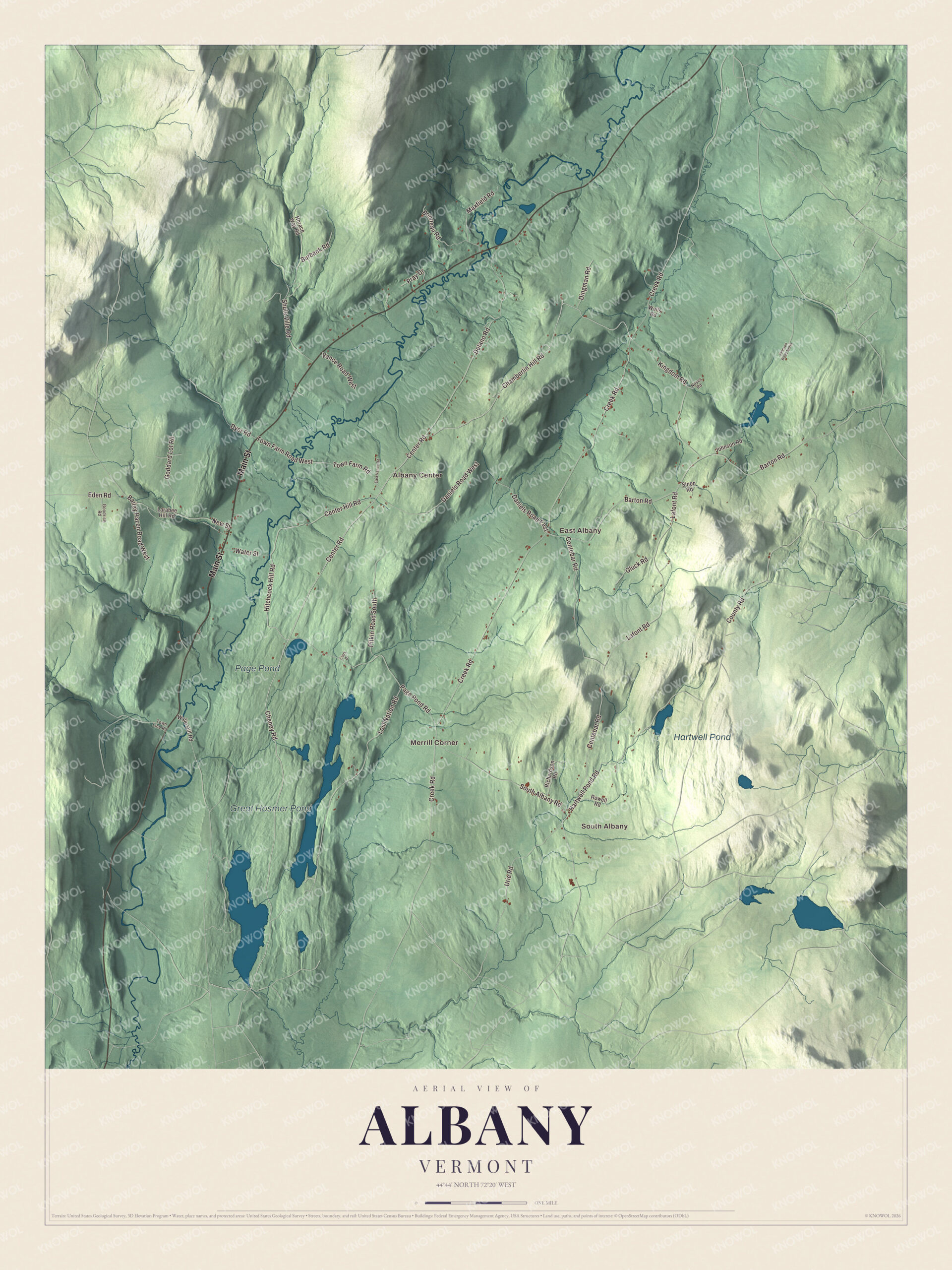
Click to explore a larger preview. The digital watermark does not appear on printed maps.
Names on this map
These names are printed on this map.
Places: South Albany, Merrill Corner, East Albany, Albany Center, Great Hosmer Pond, Hartwell Pond and Page Pond.
Streets and roads: Main Street, Center Road, Cheney Road, Hitchcock Hill Road, Chamberlin Hill Road, Daniels Road West, Barton Road, Daniels Road East, Creek Road, Centebar Road, South Albany Road, Delano Road.
More street names, A to Z
Bailey Hazen Road West, Bonneau Road, Burbank Road, Center Hill Road, Clark Drive, County Road, Dingman Road, Dyer Road, East Vance Road, Eden Road, Gluck Road, Goddard Lot Road, Goodrich Road, Hartwell Pond Road, Horace Way Road, Johnson Road, Johnson Road North, Kingdom Road, Lafont Road, Larabee Hill Road, Lost Nation Road, Maxfield Road, New Street, Noyes Road, Page Pond Road, Pitkin Road South, Pray Drive, Richardson Road, Rowell Road, Shute Ville Road, Sinon Road, Town Farm Road, Town Farm Road West, Town Line Road, Urie Road, Vance Road West, Water Street, Wells Road, Wylie Hill Road.
See it on a wall
The Albany map as a framed print. Swipe for more.


Ponds, brooks and the Black River
The Black River begins on the east side of Great Hosmer Pond, in the southern part of town, and flows south into Craftsbury before turning back north. It returns to Albany and runs through the middle of town from south to north, picking up brooks along the way, then passes through Albany village and under the Water Street Bridge on its way to Lake Memphremagog near Newport. The lake is part of the St. Lawrence River basin. Lord’s Creek flows north through the eastern part of town with several tributaries of its own. The town’s page names five principal ponds: Great Hosmer, Hartwell, Page, Heart and Duck. Great Hosmer Pond, Hartwell Pond and Page Pond are printed on the map.
The rock beneath the town runs in parallel ranges from north to south: talcose schist on the west, then a narrow band of limestone, a vein of clay slate and, across the rest of the town, calciferous mica schist, with rich beds of muck and shell marl in the center and east and a few ledges of granite. Merrill Corner, Hitchcock Hill Road, Chamberlin Hill Road and Barton Road are printed too.
This Albany map is a fine addition to an office, library or den, and it can even help teach children the geography and history of a hilly town of ponds and brooks. It’s made for anyone who calls Albany home, from South Albany to East Albany. KNOWOL created it in 2026, and it’s printed on museum quality archival paper. Zoom in on the preview above to explore the details, then click here to get your copy of the Albany, Vermont map.

Sources