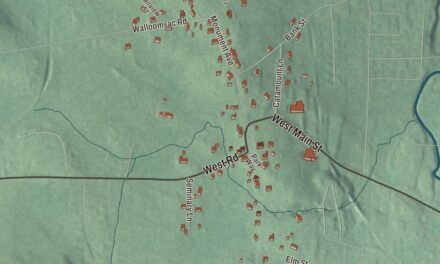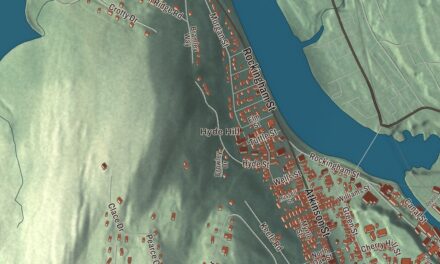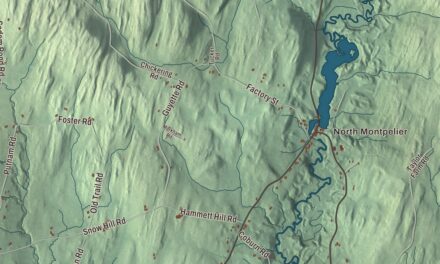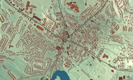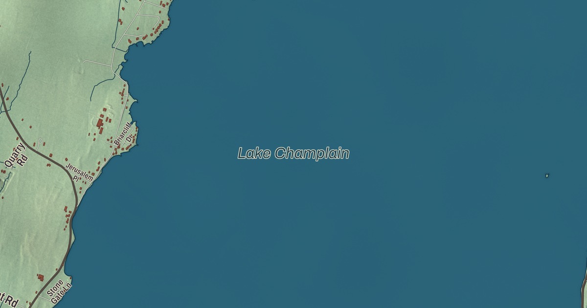
North Hero takes up all of North Hero Island in Lake Champlain, along with Knight Island, Butler Island and a handful of smaller ones, and Route 2 runs its whole length from one bridge to the other. This map prints Lakeview Drive, South End Road, Pelots Point Road, Bridge Road, West Shore Road and Blockhouse Point Road.
North Hero is a town in Grand Isle County, Vermont.
KNOWOL made this map in 2026 from public survey data and gave it the look of an old county atlas, shading the hills from United States Geological Survey elevation data and drawing the roads and town line from the Census Bureau. The town covers 46.6 square miles, and 33.1 of them are water; 939 people lived here at the 2020 census. Click here to purchase a print of this map for your wall.
Two Heroes
Vermont granted North Hero on October 27, 1779, as part of a single town called Two Heroes. North Hero’s name honors the Revolutionary War hero Ethan Allen. Ebenezer Allen of North Hero represented Two Heroes in the legislature in 1786. The town was divided into North Hero and South Hero on October 25, 1788, though the two still shared a representative; North Hero organized on March 17, 1789, and each town got a seat of its own on January 18, 1791. For years after the Revolution, British troops held Fort Dutchman’s Point in North Hero, and they didn’t leave until the Jay Treaty of 1796. The town belonged to Franklin County until Grand Isle County was organized in the early 1800s, and North Hero is its shire town.
The stone courthouse
The Grand Isle County Courthouse stands at 3677 Route 2 in the town center, on a rise on the west side of the road overlooking City Bay. Before it was built, court met in private places such as the hotel and tavern Jed Ladd built here in 1803. The county decided on a permanent courthouse in 1823 and built its main block the next year out of locally quarried limestone, with an octagonal belfry under a gold onion dome. Its page calls it one of the oldest surviving courthouses in the state and the only surviving one built of stone, and it may have been the work of the Scottish mason James Ritchie, who is credited with most of the area’s few stone buildings from that period. At first it served as court, jail, town hall and church, until the town hall and church moved in 1865 to a new meeting house next door. It was listed on the National Register of Historic Places in 1996. The town office, at 3541 Route 2, shares a building with the community center, and the weekly newspaper The Islander has been published in North Hero since 1974.
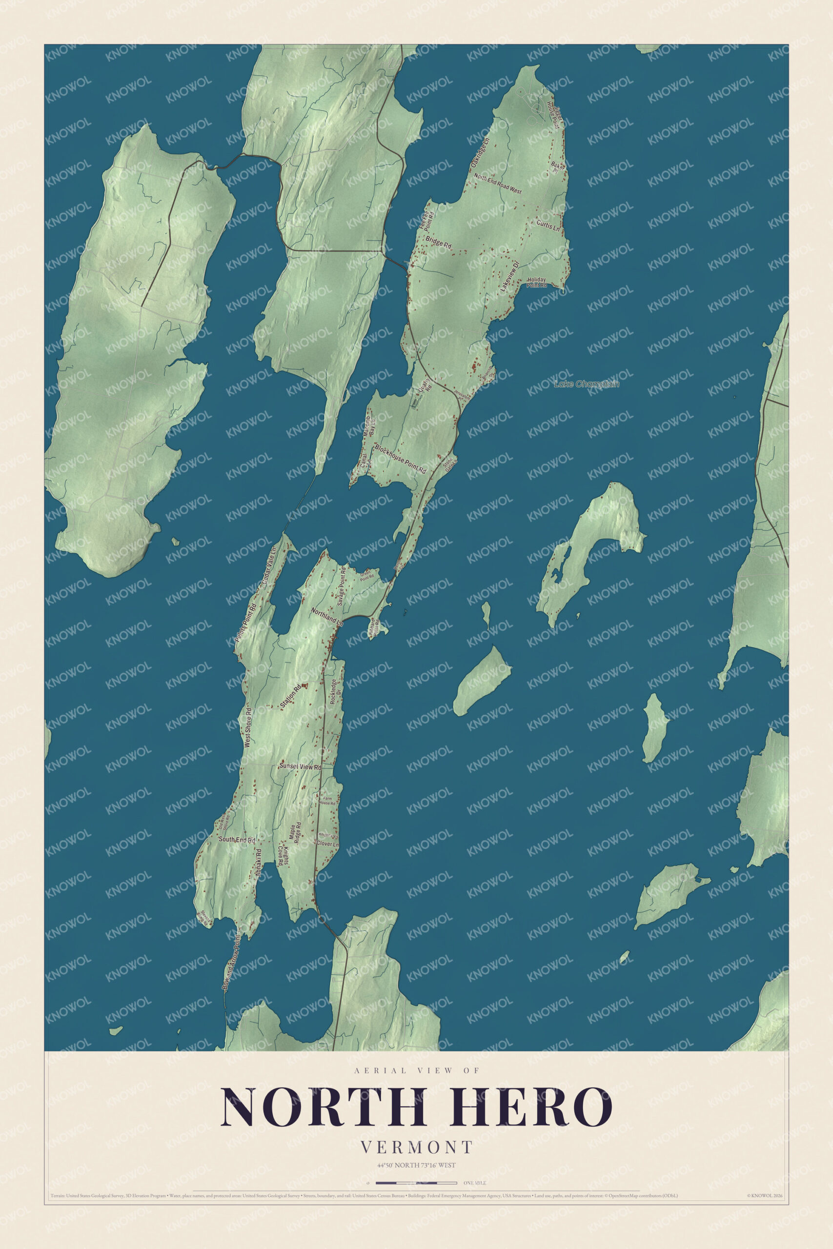
Click to explore a larger preview. The digital watermark does not appear on printed maps.
Names on this map
These names are printed on this map.
Places: Lake Champlain.
Streets and roads: Lakeview Drive, South End Road, Pelots Point Road, Bridge Road, West Shore Road, Blockhouse Point Road, Abnaki Road, Station Road, Sunset View Road, Bow and Arrow Point, Cedar Vale Lane, Oakridge Lane.
More street names, A to Z
Baker Place, Briarcliff Drive, Canal Lane, Clover Lane, Curtis Lane, Farm House Road, Fee Fee Point Road, Green Point Road, Heron Circle, Hibbard Point Road, Holiday Point Road, Jerusalem Place, Jigger House Point, Knight's Vis, Knights Cove Road, Macomb Bay Lane, Maple Ridge Road, North End Road West, Northland Lane, Old West Shore Road, Quarry Road, Rockledge Drive, Savage Point Road, Stevens Camp Road, Stone Gate Lane.
See it on a wall
The North Hero map as a framed print. Swipe for more.


Bridges, beaches and Knight Island
Route 2 leaves the island at the north end on a bridge over the Alburg Passage into Alburgh, and at the south end on a bridge over The Gut to South Hero Island. Across the lake to the east lie St. Albans and Swanton, and to the southwest, across the lake’s western arm, Beekmantown, New York. North Hero State Park, 399 acres on the lake, is a day-use park and a stop on the Lake Champlain Paddlers’ Trail. Knight Point State Park, off Route 2, opened in 1978, has a sandy swimming beach and is home to the Island Center for Arts and Recreation; its Campmeeting Point Natural Area keeps 2,200 feet of cobble shoreline that supports rare plants, beside a grove of big oaks and hickories. Knight Island State Park takes in most of 125-acre Knight Island, which can only be reached by boat and has seven primitive campsites.
On the map, start on Lakeview Drive, then follow South End Road, Pelots Point Road, Bridge Road, West Shore Road and Blockhouse Point Road around the island. Lake Champlain is printed. North Hero dates to 1779.
This map of North Hero is made for everyone who calls North Hero home, and it shows the town as it looks today, from City Bay to the Alburg Passage. Hang it in an office, library or den, or use it to teach children the geography and history of their town. It’s printed on museum quality archival paper. Zoom in on the preview above to explore the details, then click here to get your copy of the North Hero, Vermont map.

Sources