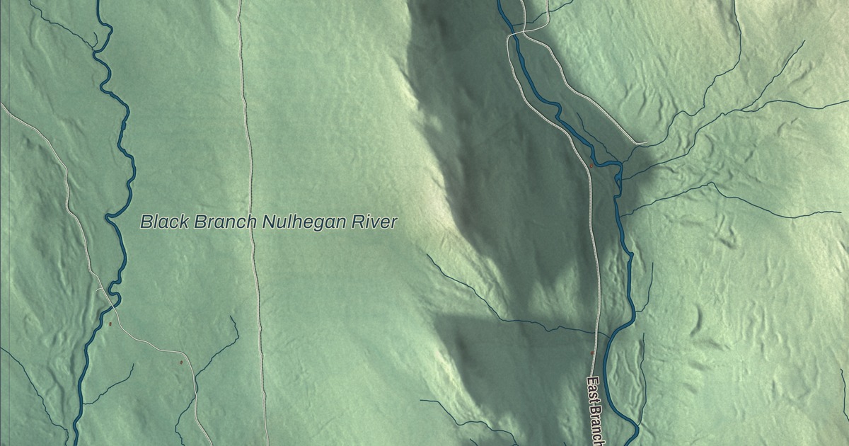
Bloomfield village sits at the mouth of the Nulhegan, where the river runs into the Connecticut and a bridge crosses to North Stratford, New Hampshire. This map prints the East Branch Nulhegan River and the Black Branch Nulhegan River, along with East Branch Road, Stone Dam Road, Mill Brook Road, Fuller Road, Stevens Road and Snow Hill Road.
Bloomfield is in northeastern Essex County, with the Connecticut River and New Hampshire along its southeastern side.
KNOWOL made this map in 2026 from public survey data and gave it the look of an old atlas. The shaded terrain comes from United States Geological Survey elevation data. Much of the town is high ground, reaching 2,470 feet on its northeast line, while most people live down along the river, where the land is much lower. The roads and the town line come from the Census Bureau. Bloomfield covers 40.5 square miles, and it had 217 people at the 2020 census. Click here to purchase a print of this map for your wall.
From Minehead to Bloomfield
Governor Benning Wentworth chartered the township in June 1762 as Minehead, spelled Minnehead in the old Vermont Historical Gazetteer, six miles square and divided among 63 grantees, with shares set aside for the governor, the church and the schools. Surveyors ran its lines in 1796, again in 1798, and once more in 1802, when the land was finally laid out in lots of 112 acres. The gazetteer’s writer, William Burbank, thought Thomas Lamkin was probably the first settler, around 1796, and by 1802 nearly 30 claims had been made. It was slow going. Many of the first families left, and the population barely grew from 1812 to 1820. In 1830 the state legislature changed the town’s name from Minehead to Bloomfield.
The Nulhegan Mill, built in 1849, created jobs and grew the population, and by 1862 Burbank described the Baldwins’ lumber works at the meeting of the Nulhegan and the Connecticut, four sawmills around town, and a branch of the Nulhegan through the center of town that carried logs to them. The Grand Trunk Railroad, crossing the southern part of town, gave Bloomfield a further boost. The Methodists built their meetinghouse in 1859, and the gazetteer called it the only one on the Vermont side of the Connecticut north of Guildhall, a stretch of nearly 40 miles.
Cold on record
A weather station ran in Bloomfield from 1906 to 1968, near Lyman Falls on the Connecticut at the southeast edge of town. On December 30, 1933, it recorded 50 degrees below zero, a record low for New England that nobody matched until 2009, when a station on Maine’s Big Black River hit the same mark.
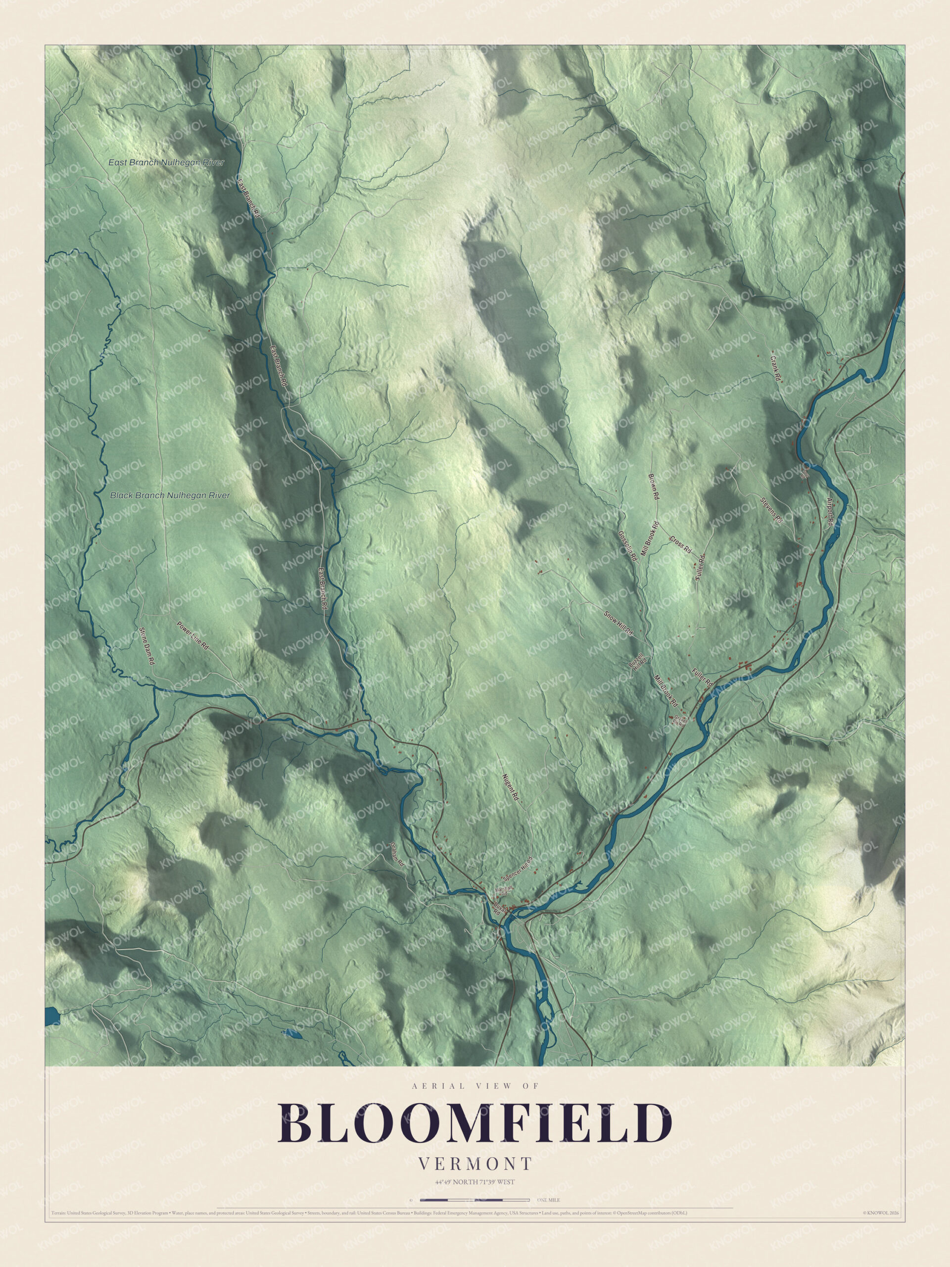
Click to explore a larger preview. The digital watermark does not appear on printed maps.
Names on this map
These names are printed on this map.
Places: Black Branch Nulhegan River and East Branch Nulhegan River.
Streets and roads: East Branch Road, Stone Dam Road, Mill Brook Road, Fuller Road, Stevens Road, Snow Hill Road, Power Line Road, Gosselin Road, Crank Road, Brown Road, Nugent Road, Cross Road.
More street names, A to Z
Airport Road, Buzzell Hill Road, Duval Road, Graham Road, Gravel Pit Road, Marshall Road, Spencer Hill Road, Spur Road.
See it on a wall
The Bloomfield map as a framed print. Swipe for more.


Up the Nulhegan
The Nulhegan River runs 15.1 miles from Nulhegan Pond in Brighton, and in Bloomfield it turns southeast for its last descent to the Connecticut. Vermont Route 105 follows it the whole way, 16 miles west to Island Pond, and the river is part of the Northern Forest Canoe Trail, which runs from the Adirondacks to Fort Kent, Maine. The East Branch of the Nulhegan rises in the middle of Averill, crosses the corner of Lewis and joins the main river in Bloomfield, 2.3 miles above the Connecticut. Upstream lies the Nulhegan Basin Division of the Silvio O. Conte National Fish and Wildlife Refuge, more than 26,000 acres in Bloomfield, Brunswick, Ferdinand and Lewis.
Along the Connecticut, Vermont Route 102 leads northeast 13 miles to Colebrook, New Hampshire, and south 15 miles to Guildhall. Across the bridge, North Stratford is where Bridge Street meets U.S. Route 3. The Black Branch Nulhegan River, East Branch Road, Stone Dam Road, Mill Brook Road, Fuller Road, Stevens Road and Snow Hill Road are all printed on the map.
This map of Bloomfield deserves a spot in an office, library or den, and it can even help teach children the geography and history of a river town on the upper Connecticut. It’s made for everyone who calls Bloomfield home and shows the town as it looks today, from the mouth of the Nulhegan to Snow Hill Road. KNOWOL created it in 2026, and it’s printed on museum quality archival paper. Zoom in on the preview above to explore the details, then click here to get your copy of the Bloomfield, Vermont map.

Sources