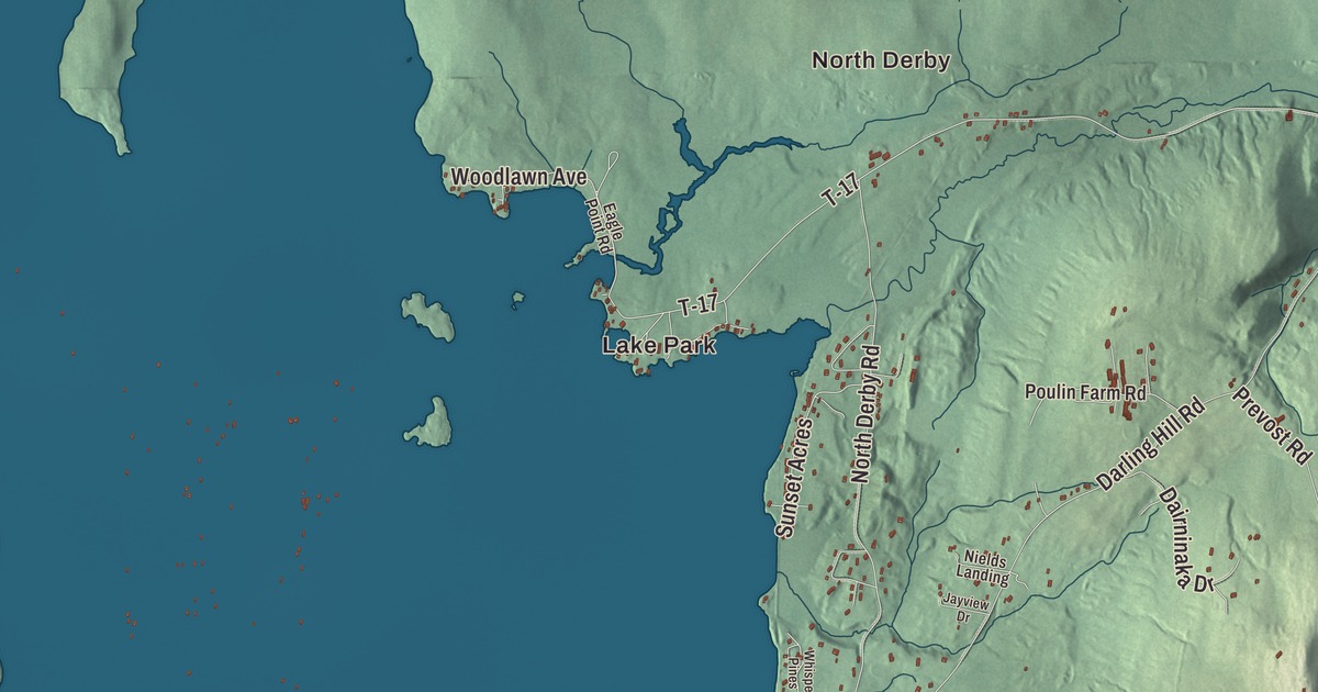
Derby takes in more ground than any other town in Orleans County, and it runs right up to Quebec. This map prints Lake Memphremagog, Lake Salem, Lake Derby and Clyde Pond, the villages of Derby Center, Derby Line, Beebe Plain and North Derby, and roads like Main Street, Derby Line Road and Hinman Settler Road.
Derby is a town in Orleans County, Vermont.
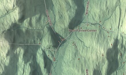
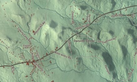
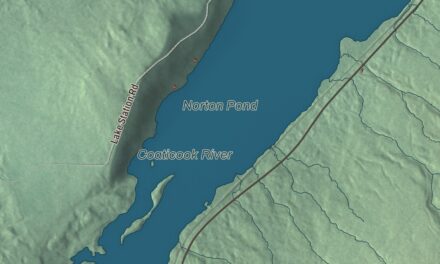
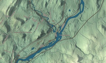
KNOWOL made this map in 2026 from public survey data and styled it after an old county atlas. The hills are shaded from United States Geological Survey elevation data, and the roads and town line come from the Census Bureau. Derby covers 57.6 square miles, 8.0 of them water, and it had 4,579 people at the 2020 census, more than any other community in the county. Click here to purchase a print of this map for your wall.
Chartered in 1779
Vermont granted Derby on October 29, 1779, a charter of 23,040 acres, and the town organized on March 29, 1798. Its first representative in the legislature was Timothy Hinman, who held the seat from 1798 to 1810. Derby grew larger in 1880, when the legislature joined the town of Salem to it, effective March 1, 1881, and that made Derby the largest town in the county. In 1917 it gave up ground the other way: the village of West Derby left the town and merged with the village of Newport to form the city of Newport. Like many Orleans County towns, Derby grew until 1890. After the depression of 1893 its population rose and fell until it hit bottom in 1940, and it has grown steadily since.
Villages on the border
Derby has two incorporated villages, Derby Center and Derby Line, and four unincorporated ones: Beebe Plain, Clyde Pond, Lake Salem and North Derby. Beebe Plain was founded around 1798 by Thomas B. Beebe, who was born in Windsor, Vermont, in 1776. The village is split by the border, which runs down the middle of Canusa Street, and local legend blames a crew of rather drunken surveyors. Facing the customs houses stands a granite building put up as a store in the 1820s. From 1864 into the early 1900s it was the world’s only international post office, with one postmaster and two doors, one for American customers and one for Canadian customers. Beebe granite, also called Stanstead Grey Granite, is known for its use in architecture, and much of the stone from the region goes into memorials.
Lake Memphremagog forms part of the town’s western edge, and in Vermont the lake touches Derby, the town of Newport and the city of Newport. The Clyde River crosses Derby on its way to the lake. It runs through Lake Salem, and Clyde Pond was formed by damming it.
Derby people
Charles Kendall Adams was born in Derby in 1835 and went to its common schools until his family moved west in 1855. He became the second president of Cornell University and then president of the University of Wisconsin. William Tyler, born in Derby in 1806, became the first Catholic bishop of Hartford, remembered for his humility: he refused to ride in a carriage, walked everywhere, and handed out food to the needy every Monday. Josiah Grout represented Derby in the Vermont House, served as Speaker, and was governor from 1896 to 1898. After coming back to Vermont in 1880 he took up farming, raising some of the finest Jersey cattle, Morgan horses and Shropshire sheep in the state, and he’s buried in Derby Center Cemetery.
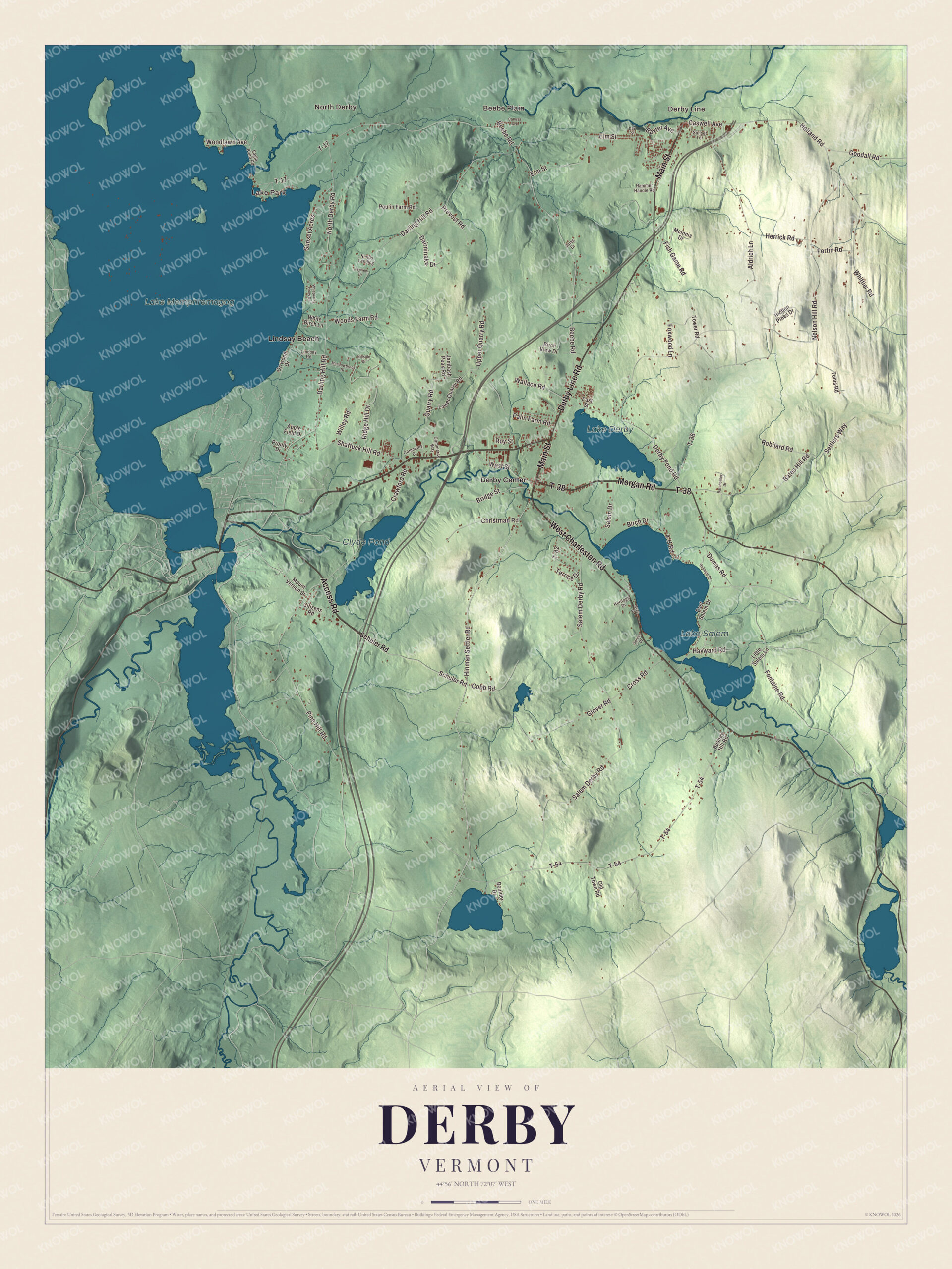
Click to explore a larger preview. The digital watermark does not appear on printed maps.
Names on this map
These names are printed on this map.
Places: Lake Park, North Derby, Beebe Plain, Derby Line, Lake Salem, Lake Derby, Clyde Pond, Lake Memphremagog, Derby Center and Lindsay Beach.
Streets and roads: Main Street, West Charleston Road, Morgan Road, T-38, Access Road, Derby Line Road, Hinman Settler Road, Bates Hill Road, Holland Road, Schuler Road, Nelson Hill Road, Darling Hill Road.
More street names, A to Z
4-H Road, Aldrich Lane, Apple Field Drive, Batchelder Drive, Baxter Avenue, Beebe Road, Birch Drive, Birch View Drive, Boulder Drive, Bridge Street, Bushey Hill Road, Canusa Avenue, Caswell Avenue, Christman Road, Citizens Road, Cobb Road, Commerce Way, Commons Drive, Crawford Road, Cross Road, Dairninaka Drive, Day Street, Derby Pond Road, Dumas Road, Eagle Point Road, East Salem Drive, East Street, Elm Street, Fish Game Road, Fontaine Road, Fortin Road, Foxwood Lane, Glover Road, Goodall Road, Hammer Handle Road, Hayward Road, Heritage Drive, Herrick Road, Hidden Pines Drive, Hillside Drive, Jambash Peak Road, Jayview Drive, Jules Drive, Lindsay Road, Little Salem Lane, Lower Quarry Road, McInnis Drive, Meadowbrook Drive, Mount Vernon Street, Nields Landing, North Derby Road, Old Town Road, Orrwood Drive, Palin Farm Road, Pine Hill Road, Poulin Farm Road, Prevost Road, Prouty Drive, Quarry Road, Ridge Hill Drive, Robbins Drive, Robilard Road, Roy Street, Ryan Drive, Salem Derby Road, Salem Drive, Settlers Way, Shattuck Hill Road, Spruce Drive, Sunset Acres, Sunset Terrace, T-17, T-36, T-54, T-82, Terrice Drive, Tonis Road, Tower Road, Upper Quarry Road, Wallace Road, West Street, Whispering Pines Road, White Birch Lane, Whittier Road, Willey Road, Woodlawn Avenue, Woods Farm Road.
See it on a wall
The Derby map as a framed print. Swipe for more.


In Derby Center, at the corner of Main Street and West Street, the Derby House Hotel has stood since 1896. L.A. Rickard built it mostly for people coming to do business with local industry, not for tourists, and its two-story porch is the only hotel porch of its kind left in the northeastern part of the state. It stopped taking guests in 1932 and has held apartments since 1946. Interstate 91 has its last three interchanges in Derby, and the town has 103 miles of road, more than any other town or city in the county.
Look for Main Street, Derby Line Road, West Charleston Road, Morgan Road, Access Road and Hinman Settler Road, all printed on the map. Lake Park, Lindsay Beach and Lake Derby are labeled on the map too, and the villages of Derby Line and Beebe Plain sit along the top edge of the town.
Use this map of Derby to teach children the geography and history of their town, from the lakes to the border, or hang it in an office, library or den. It’s made for everyone who calls Derby home and shows the town as it looks today, from Lake Memphremagog to Lake Salem. KNOWOL created it in 2026, and it’s printed on museum quality archival paper. Zoom in on the preview above to explore the details, then click here to get your copy of the Derby, Vermont map.

Sources
- Derby, Vermont, Wikipedia
- Town histories and representatives, D towns, Vermont Legislature
- Beebe Plain, Vermont, Wikipedia
- Beebe Plain-Beebe Border Crossing, Wikipedia
- Lake Memphremagog, Wikipedia
- Clyde River (Vermont), Wikipedia
- Charles Kendall Adams, Wikipedia
- William Tyler (bishop), Wikipedia
- Josiah Grout, Wikipedia
- Derby House Hotel, Wikipedia