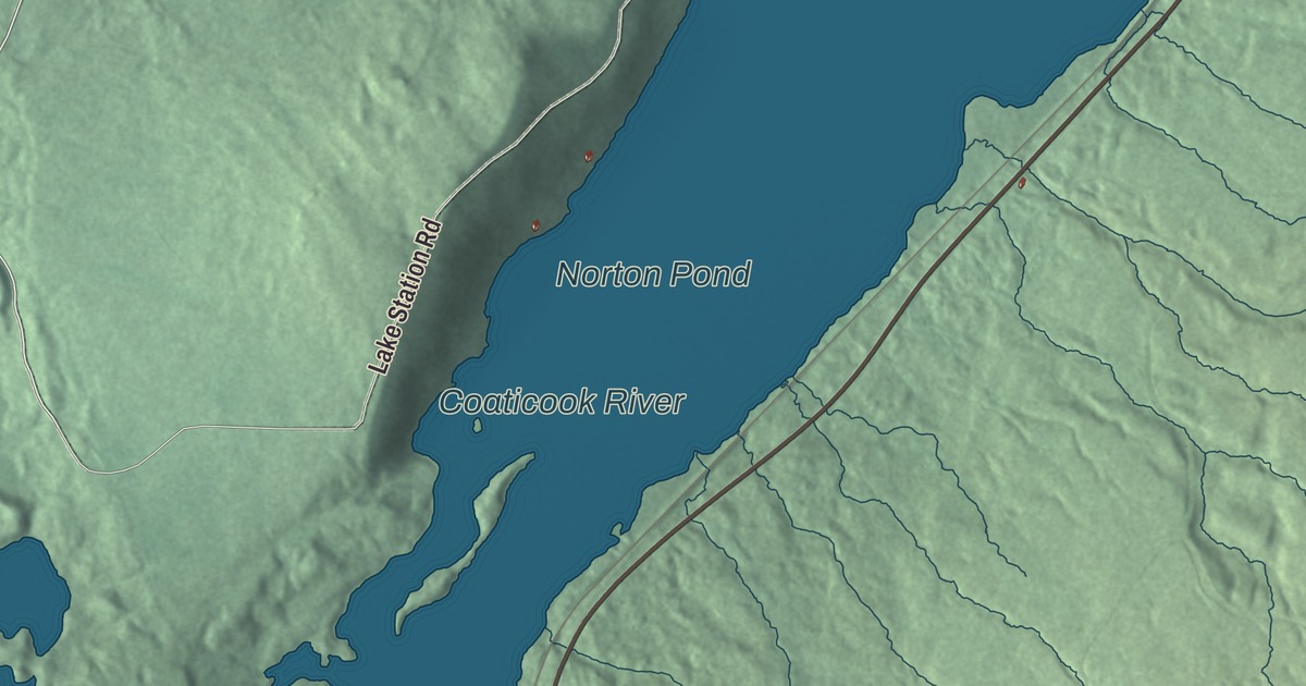
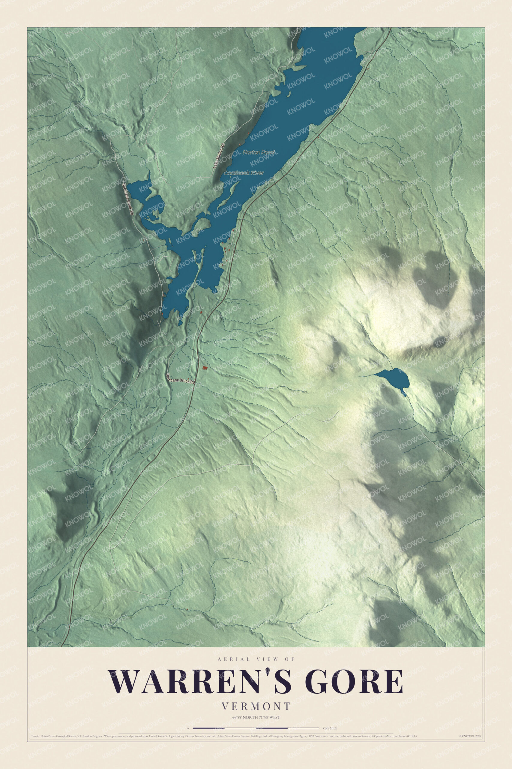
Warren’s Gore is an unincorporated tract in northwestern Essex County where the water divides: Norton Pond drains north into Quebec, and less than a mile to the south another river starts toward Island Pond. This map prints Hurricane Brook Road and Lake Station Road, with Norton Pond and the Coaticook River.
Warren’s Gore is a gore in Essex County, Vermont.
KNOWOL made this map in 2026 from public survey data and gave it the look of an old county atlas, shading the hills from United States Geological Survey elevation data and drawing the roads and boundary from the Census Bureau. The gore covers 11.4 square miles, 0.81 of them water, and 2 people lived here at the 2020 census, down from 4 in 2010. Click here to purchase a print of this map for your wall.
Half of a township called Warren
On October 20, 1789, Vermont chartered “a Township by the name of Warren” made of two tracts almost 100 miles apart, on opposite sides of the state. One became the town of Warren. The other, in Essex County, became Warren’s Gore. Why the two were chartered together is still uncertain. One possibility is that the Warren tract was smaller than most and the gore was added to make up the total. From the start the gore has been treated as separate from the town. In 1887 Hamilton Child’s county gazetteer described it as an uninhabited tract of 6,380 acres, with a considerable pond on its line with Norton whose waters flow north into Canada.
In Vermont, gores and grants are parts of a county that belong to no town and have little or no self-government. The name has a story of its own. State statutes call it Warren’s Gore, but the U.S. Board on Geographic Names avoids apostrophes in place names, so it also appears as Warrens Gore and Warren Gore, and one Vermont atlas uses both of those spellings in the same edition.
Click to explore a larger preview. The digital watermark does not appear on printed maps.
See it on a wall
The Warren's Gore map as a framed print. Swipe for more.


Norton Pond and the divide
The gore holds most of Norton Pond, about two and a half miles long, which is the source of the Coaticook River. The Coaticook runs north about four miles in Vermont, with Route 114 and a railroad along its east side, then crosses into Quebec and joins the Massawippi near Sherbrooke, part of the St. Lawrence watershed. Its name comes from the Abenaki koatikeku, the river of the land of the white pine. The valley continues south across a low height of land, and less than a mile south of Norton Pond the Pherrins River begins, flowing south to Island Pond as part of the Clyde River and Lake Memphremagog watershed. Route 114 crosses that divide inside the gore on its way between Island Pond and Norton, and the Grand Trunk railway, built through Essex County in 1853, passed through the gore as well.
On the map, start with Hurricane Brook Road, then follow Lake Station Road across the gore. Norton Pond and the Coaticook River are printed too. Warren’s Gore dates to 1789.
This map of Warren’s Gore is made for everyone who calls Warren’s Gore home, and it shows the gore as it looks today, from Hurricane Brook Road to Norton Pond and the Coaticook River. Hang it in an office, library or den, or use it to teach children the geography and history of this corner of Vermont. It’s printed on museum quality archival paper. Zoom in on the preview above to explore the details, then click here to get your copy of the Warren’s Gore, Vermont map.

Sources