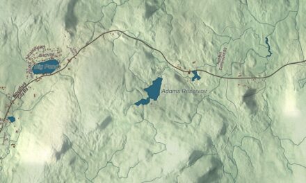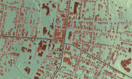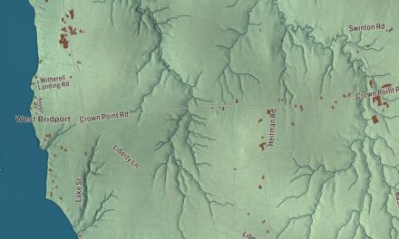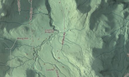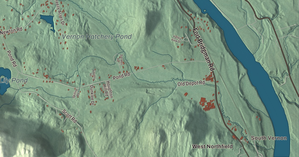
Vernon lies on both the southern and eastern borders of Vermont, with Massachusetts to the south and New Hampshire across the Connecticut River to the east. This map prints South Vernon, North Vernon and West Northfield, with Vernon Road, Old Depot Road, Woodland Road, Pond Road, Tyler Hill Road, Lily Pond and Vernon Hatchery Pond.
Vernon is a town in Windham County, Vermont.
KNOWOL made this map in 2026 from public survey data and gave it the look of an old county atlas, shading the terrain from United States Geological Survey elevation data and drawing the roads and town line from the Census Bureau. The town covers 20.0 square miles, 0.6 of them water, and 2,192 people lived here at the 2020 census. Click here to purchase a print of this map for your wall.
From Hinsdale to Vernon
Massachusetts granted the area as part of Fall Town in 1736, and on September 13, 1753, New Hampshire granted it as Hinsdale, confirming the earlier Massachusetts grant. When the Connecticut River became the boundary, there were two towns named Hinsdale, one in New Hampshire and one in Vermont. The Vermont side wanted a name of its own, and on October 21, 1802, the legislature renamed it Vernon. The name is said to come from Mount Vernon, George Washington’s home. Fort Bridgman, in Vernon, was burned in 1755 during the French and Indian War.
One of the oldest houses in Vermont is here. Jonathan Hunt, a pioneer who later served as the state’s second lieutenant governor, built the Governor Hunt House in 1764, a date confirmed by tree-ring dating in 2022. His son Jonathan Hunt, born in Vernon in 1787, became the first president of the Old Brattleboro Bank and served in Congress. For years the house was a visitor and training center for the neighboring Vermont Yankee plant, and in 2019 the plant’s owner gave it to the Friends of Vernon Center, which is working to make it a community center for the town. It was listed on the National Register of Historic Places in 2022.
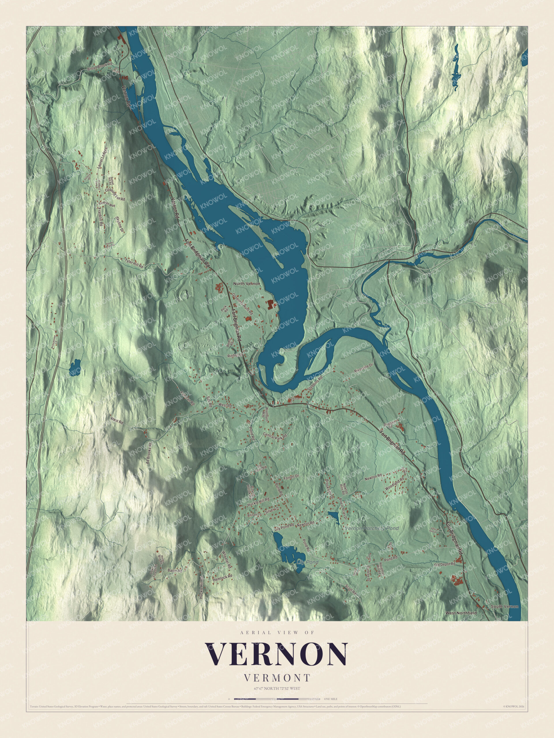
Click to explore a larger preview. The digital watermark does not appear on printed maps.
Names on this map
These names are printed on this map.
Places: South Vernon, Lily Pond, Vernon Hatchery Pond, North Vernon and West Northfield.
Streets and roads: Fort Brigman Road, Vernon Road, Fort Bridgman Road, Old Depot Road, Woodland Road, Pond Road, Tyler Hill Road, West Road, Huckle Hill Road, Newton Road, Franklin Road, Governor Hunt Road.
More street names, A to Z
Ad Brooks Road, Allison Lane, Basin Road, Bemis Road, Blodgett Road, Breezy Acres Drive, Broad Brook Road, Brookside Drive, Central Park Road, Country Lane, Cushing Lot Road, Damian Way, Dunklee Drive, Fairman Road, Forrett Drive, Fox Hill Road, Greenway Drive, Hemlock Road, Hickory Hollow Road, Honey Brim Road, Houghton Hill Road, Laurel Ledges, Laurel Ledges Drive, Lily Pond Road, Newton Hills Road, Old Farm Road, Ox Cart Road, Peck Road, Princesses Lane, Rinfret Drive, Riverside Drive, Sak Road, Sartwell Road, Scott Road, Silver Lane, Skilling Road, Skyline Drive, Stebbins Road, Stoney Acres Road, Sunset Hill Road, Town Forest Road, Valley View Drive, Victoria Drive, Washburn Way, Wheeler Road.
See it on a wall
The Vernon map as a framed print. Swipe for more.


Schools, chapels and the river
On Pond Road near the middle of town, the Pond Road Chapel was built in 1860 for a newly organized congregation of Advent Christians. They held regular services there until 1909, when they moved to a larger church in South Vernon. The little Greek Revival building keeps nearly all of its 19th-century interior, down to the wallpaper, the oil lamps on the walls and an Estey pump organ. The local historical society has cared for it since 1984, and the congregation still holds occasional services. Just south of Pond Road, on Fort Bridgman Road (Route 142) above the Connecticut River, the brick District Schoolhouse No. 4 of 1848 taught children until 1954, when the town brought its districts into one elementary school. Since 1972 Vernon Historians have kept it as the town’s history museum, and it’s one of three district school buildings that survive in town.
From 1972 to December 29, 2014, the Vermont Yankee nuclear power plant ran on the Connecticut, just upstream of the Vernon dam, and in 2008 it produced 71.8 percent of all the electricity generated in Vermont. It was the state’s only nuclear plant. George Howe, born in Vernon in 1824, was United States Attorney for Vermont during the Civil War years and is buried in North Vernon Cemetery. Karen Carroll, a Vernon resident, sat on the Vermont Supreme Court from 2017 to 2025.
On the map, start in South Vernon, then follow Vernon Road, Old Depot Road, Woodland Road, Pond Road and Tyler Hill Road. Then look outward toward North Vernon and West Northfield. Lily Pond and Vernon Hatchery Pond are printed too. Vernon dates to 1753.
This map of Vernon is made for everyone who calls Vernon home, and it shows the town as it looks today, from South Vernon to North Vernon and Lily Pond. Hang it in an office, library or den, or use it to teach children the geography and history of their town. It’s printed on museum quality archival paper. Zoom in on the preview above to explore the details, then click here to get your copy of the Vernon, Vermont map.

Sources
- Vernon, Vermont, Wikipedia
- Town histories and representatives, V towns, Vermont Legislature
- Governor Hunt House, Wikipedia
- Jonathan Hunt (Vermont congressman), Wikipedia
- Pond Road Chapel, Wikipedia
- Vernon District Schoolhouse No. 4, Wikipedia
- Vermont Yankee Nuclear Power Plant, Wikipedia
- George Howe (attorney), Wikipedia
- Karen Carroll (judge), Wikipedia