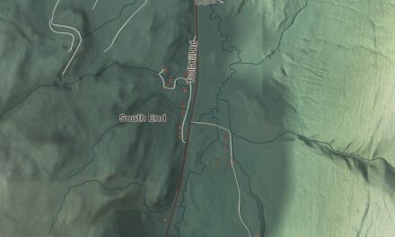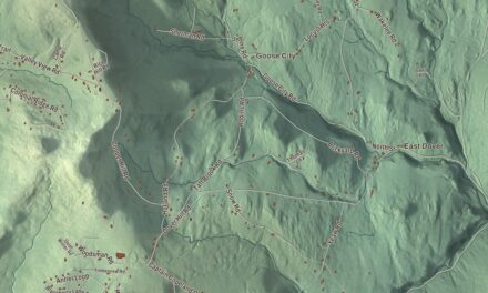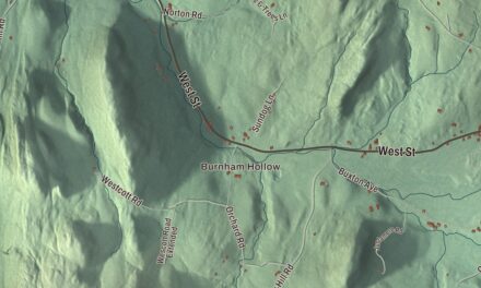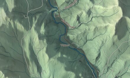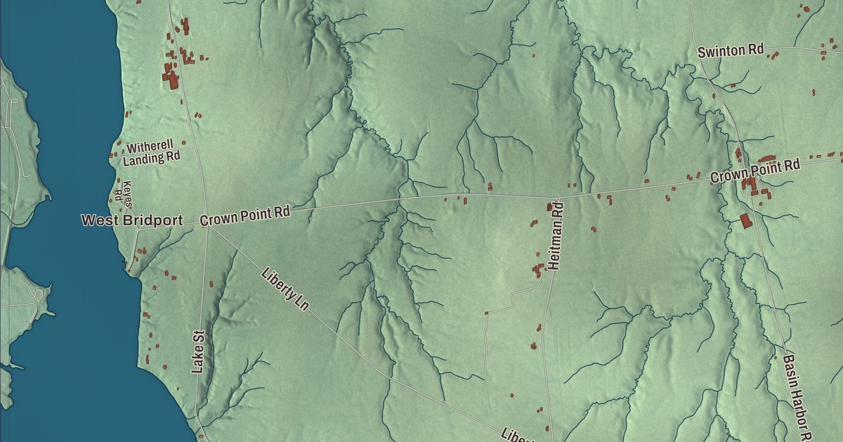
Bridport’s western line runs down the deepest channel of Lake Champlain, and the Lemon Fair River crosses the southeastern corner of town. This map prints Lake Champlain and the Lemon Fair River, West Bridport and Palmer Corner, and Bridge Road, Middle Road, Snake Mountain Road, Forrest Road, Fiddlers Lane and Frosty Lane.
Bridport is in Addison County, the middle town of the county’s western tier along the lake.
KNOWOL made this map in 2026 from public survey data and gave it the look of an old atlas. The shaded terrain comes from United States Geological Survey elevation data, though an 1880s county history found the land generally level, with just enough hills and rolling ground for a pleasing landscape. The roads and the town line come from the Census Bureau. Bridport covers 46.2 square miles, 2.3 of them water, and it had 1,225 people at the 2020 census. Click here to purchase a print of this map for your wall.
A town named for Dorset
Governor Benning Wentworth signed Bridport’s charter on October 9, 1761, granting Ebenezer Wiswall and 63 others, most of them from Worcester County, Massachusetts, a tract six miles by seven on the shore of what was then called Wood Creek, the old name for this part of the lake. The town is named for Bridport, in the west of Dorset in England, and its boundaries have hardly changed since. The first recorded deed, from Colonel Ephraim Doolittle on May 20, 1766, began a plan to settle the town in common, which didn’t last. Philip Stone of Groton, Massachusetts, began the first lasting farm soon after, and Samuel Smith’s family came from New Jersey by ox wagon and boat, lived first in Panton, and moved to Bridport in 1773.
The Revolution emptied most of the town, but settlers began coming back in 1783 and rebuilt their homes. The proprietors met that year to survey the land, which they divided by lottery into four divisions, including lakeshore lots and a village plot with a common. The town was organized on March 28, 1785, and that year it laid out its first highway, through the lake lots from the north line to the south, along with a road across the town from east to west. In 1786 fourteen families came from Morris County, New Jersey, among them the Revolutionary veteran Benjamin Miner and his five sons. His son Benjamin Jr. served as justice of the peace from 1809 until 1851, married nearly a hundred couples, and always gave his fee to the bride.
Farms by the lake
The 1880s history found Bridport’s streams too low and slow for mills, so the town stayed with farming and raising cattle and sheep. Two people born here went on to Washington. Edgar Harkness Gray, born in Bridport in 1813, became a Baptist minister, a friend of Abraham Lincoln and chaplain of the Senate, and he was one of the four clergymen at Lincoln’s funeral services in Washington. Charles A. Eldredge, born here in 1820, served six terms in Congress from Wisconsin.
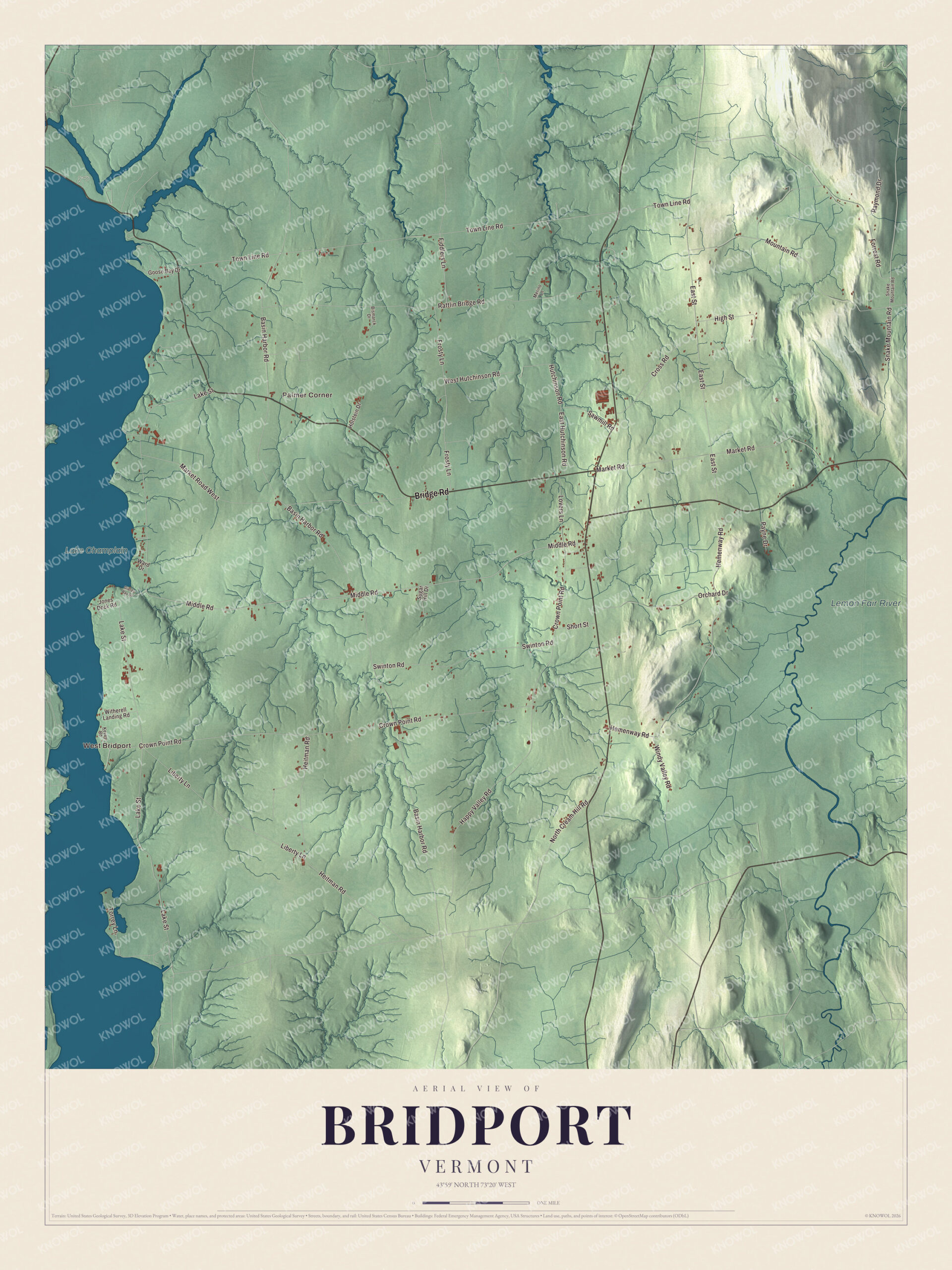
Click to explore a larger preview. The digital watermark does not appear on printed maps.
Names on this map
These names are printed on this map.
Places: West Bridport, Palmer Corner, Lemon Fair River and Lake Champlain.
Streets and roads: Bridge Road, Forrest Road, Snake Mountain Road, Fiddlers Lane, Middle Road, Frosty Lane, Crown Point Road, Basin Harbor Road, Lake Street, Town Line Road, Rattlin Bridge Road, Hemenway Road.
More street names, A to Z
Bismarck Drive, Cross Road, East Hutchinson Road, East Street, Giards Bay Drive, Goose Bay Drive, Happy Valley Road, Heitman Road, High Street, Holstein Drive, Hutchinson Road, Jones Dock Road, Keyes Road, Liberty Lane, Lovers Lane, Market Road, Market Road West, Merino Lane, Mountain Road, North Cream Hill Road, Orchard Drive, Payne Drive, Raymond Drive, Sawmill Road, Short Street, Sugar Hill Drive, Swinton Road, Torrey Lane, Ward Drive, West Hutchinson Road, Windy Valley Road, Witherell Landing Road.
See it on a wall
The Bridport map as a framed print. Swipe for more.


From the lake to the Lemon Fair
The Lemon Fair River, whose name is thought to come from Les monts verts, French for the Green Mountains, rises in the farmland of Orwell and flows north to Otter Creek in Weybridge. In Bridport it crosses the southeastern part of town through a heavy swamp. Two smaller streams rise in the south of town, the East and West branches, and flow north into Addison, where they join to form Dead Creek. Children from preschool through fifth grade go to Bridport Central School in the village center. West Bridport, Palmer Corner, Bridge Road, Middle Road, Snake Mountain Road, Forrest Road, Fiddlers Lane and Frosty Lane are printed on the map along with the lake.
This map of Bridport makes a good companion for an office, library or den, and it can even help teach children the geography and history of a farm town on Lake Champlain. It’s made for everyone who calls Bridport home and shows the town as it looks today, from West Bridport to the Lemon Fair. KNOWOL created it in 2026, and it’s printed on museum quality archival paper. Zoom in on the preview above to explore the details, then click here to get your copy of the Bridport, Vermont map.

Sources