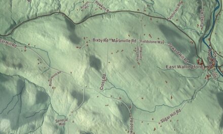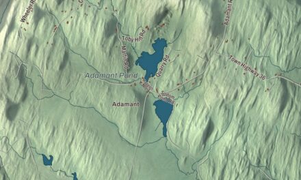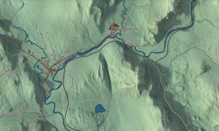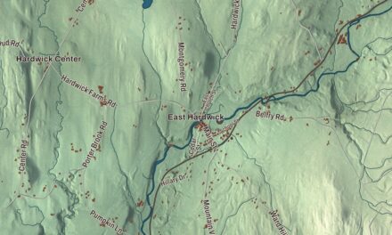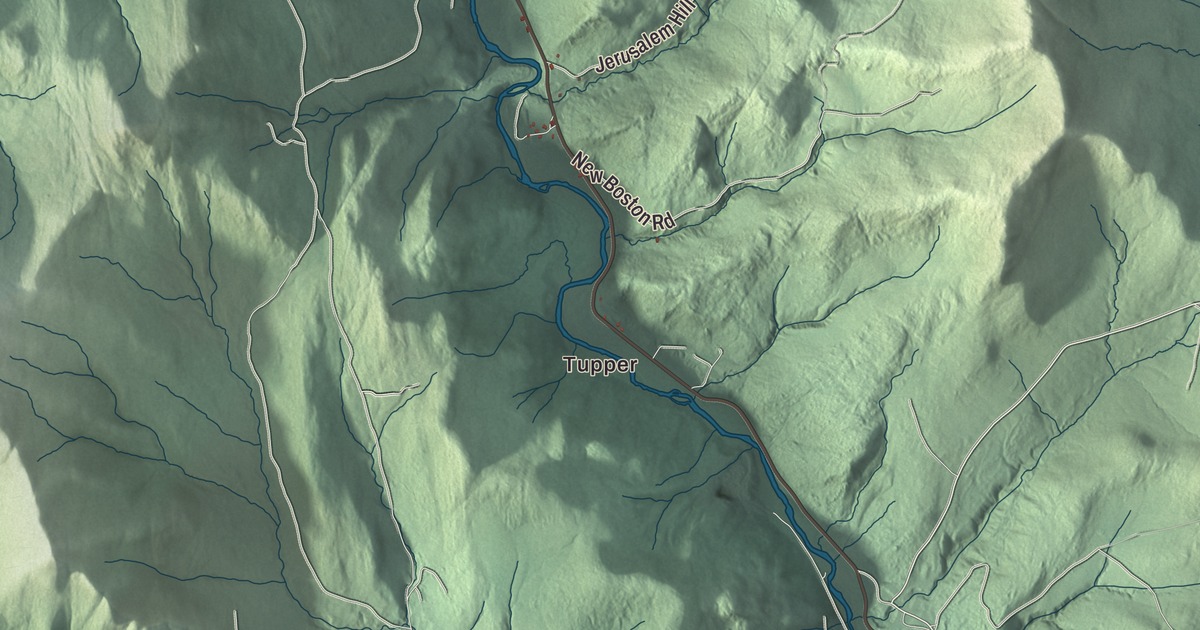
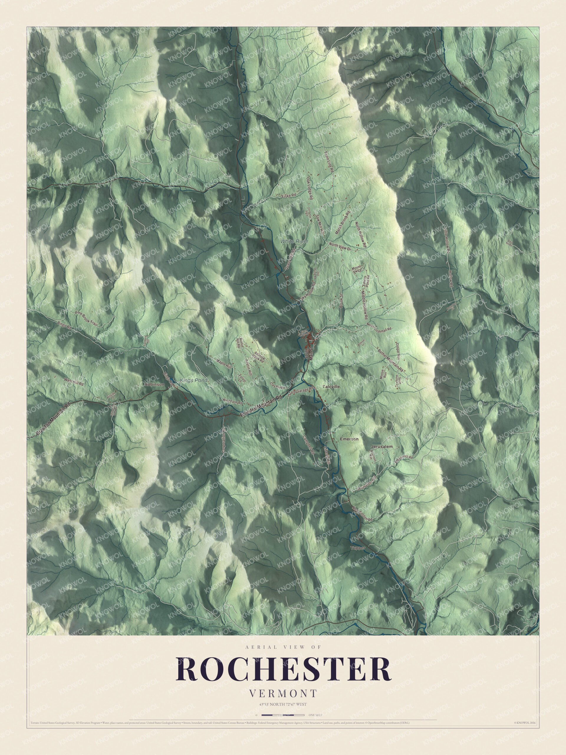
Rochester follows the White River through the mountains of northwest Windsor County, with Route 100 running up the valley through the village and Brandon Mountain Road climbing west over the Green Mountains. This map prints Tupper, Emerson, Talcville, Robinson and Jerusalem, with Bethel Mountain Road, North Hollow Road and Kings Pond.
Rochester is a town in Windsor County, Vermont.
KNOWOL made this map in 2026 from public survey data and gave it the look of an old county atlas, shading the hills from United States Geological Survey elevation data and drawing the roads and town line from the Census Bureau. The town covers 57.4 square miles, and 1,099 people lived here at the 2020 census. Click here to purchase a print of this map for your wall.
Settling the valley
The Vermont legislature granted Rochester on November 6, 1780, and chartered it on August 30, 1781, to Dudley Chase, Asa Whitcomb and 63 others. David Currier and his family made the first settlement in the winter of 1781 and 1782, and the town organized on May 15, 1788, sending Enoch Emerson as its first representative that year. Its boundaries grew after that, taking in part of Pittsfield in 1806, more of Pittsfield and part of Braintree in 1824, part of Hancock in 1834 and part of Goshen in 1847.
The land is mountainous and broken, but the intervales along the White River made good farmland, and the streams gave power for mills. By 1859, when 1,493 people lived here, the town had a gristmill, several sawmills, a tub factory and a range of mechanic shops. The village at the center of town is its own census place today, where Route 100 runs north toward Hancock and Granville and south to Stockbridge, and Route 73 heads west across the mountains to Brandon.
The Peavine
Planning for an electric railroad up the White River began in 1896, and by the time building started in 1899 it had become simply the White River Railroad. Built on a shoestring, its first train reached Rochester in December 1900, about 19 miles from Bethel. The line followed the river so closely that floods kept damaging it, and people called it “The Peavine.” It was rebuilt after the great flood of November 1927, but the Great Depression cut its traffic, and it was abandoned in 1933. On the way up the valley, its trains made informal flag stops at Tupper’s, Emerson and Talcville before reaching the station in Rochester.
Click to explore a larger preview. The digital watermark does not appear on printed maps.
Names on this map
These names are printed on this map.
Places: Tupper, Robinson, Kings Pond, White River, Emerson, Jerusalem and Talcville.
Streets and roads: Brandon Mountain Road, Little Hollow Road, Hollow Road, Austin Hill, Saw Mill Hill, Corporation Road, Bethel Mountain Road, North Hollow Road, Bingo Road, Pine Brook Trail, Brook Street, Middle Hollow Road.
More street names, A to Z
Albin Hill Road, Alexander Hill, Anderson Way, Austin Hill Road, Bindrum Lane, Breakneck Road, Campbell Road, Chittenden Brook Road, Clay Hill Road, Col Dehart Stand, Cooper Run, Edwins Pond Road, Fiske Road, Flanders Hill, Forest Lane, Hillside Terrace, Jerusalem Hill, Liberty Hill, Maple Hill, Marsh Brook Road, Moose Run, Mount Cushman Road, Mount Vw Lp, New Boston Road, North View Drive, Oak Lodge Road, Old Dump Road, Quarry Hill Road, River Brook Drive, Sky Hollow Road, South Hollow Lane, South Main Street, Sparrow Hawk Road, State Garage Road, Town Line Road, West Hill Road, Wing Farm Road.
See it on a wall
The Rochester map as a framed print. Swipe for more.


Rochester people
Edna Chaffee Noble was born in Rochester in 1846 and became the first woman to teach the village school. When the school committee asked her terms, she told them she’d take the same pay as the man she was replacing, unless there was more work, in which case she’d want more. The committee hesitated to pay a woman a man’s wages, but she held firm; they hired her for one term and kept her two years. She went on to found a school of elocution and English literature in Detroit and another school in London, and she served as president of the Michigan Association of Elocutionists in 1899. The composer Jeremiah Ingalls, who published The Christian Harmony in 1805, moved to Rochester in 1819 and later to Hancock.
In 1946 the playwright Irving Fiske and his wife, the artist Barbara Fiske, one of the few women cartoonists of the Golden Age of comic books, used wedding money to buy a 140-acre hill farm in Rochester. They meant it as a retreat for artists and writers, and it became Quarry Hill Creative Center, one of Vermont’s oldest alternative communities. People came from all over the world in the 1960s and 1970s and built houses there, and the folk artist Stephen Huneck was among those who lived at Quarry Hill.
Around the map
West of the village, Route 73 runs as Brandon Mountain Road along the West Branch of the White River. At number 936 is the Ezekiel Emerson Farm, also called Apple Hill Farm, with a farmhouse from about 1840 wrapped in an elaborate Victorian porch, a bank barn Emerson is believed to have built in the 1870s, and a milk barn from about 1920 to 1940. The Emersons kept a small dairy here, and Ezekiel later sold water rights along the White River for a hydroelectric plant that gave Rochester electric power for the first time.
On the map, start with Tupper, then follow Brandon Mountain Road, Little Hollow Road, Hollow Road, Corporation Road, Bethel Mountain Road and North Hollow Road across town. Then look outward toward Robinson, Emerson, Jerusalem and Talcville. Kings Pond and the White River are printed too. Rochester dates to 1781.
This map of Rochester is made for everyone who calls Rochester home, and it shows the town as it looks today, from Brandon Mountain Road and the White River to Talcville and Kings Pond. Hang it in an office, library or den, or use it to teach children the geography and history of their town. It’s printed on museum quality archival paper. Zoom in on the preview above to explore the details, then click here to get your copy of the Rochester, Vermont map.

Sources
- Rochester, Vermont, Wikipedia
- Town histories and representatives, R towns, Vermont Legislature
- Rochester (CDP), Vermont, Wikipedia
- White River Railroad (Vermont), Wikipedia
- Edna Chaffee Noble, Wikipedia
- Jeremiah Ingalls, Wikipedia
- Quarry Hill Creative Center, Wikipedia
- Barbara Fiske Calhoun, Wikipedia
- Irving Fiske, Wikipedia
- Ezekiel Emerson Farm, Wikipedia
- Vermont Route 73, Wikipedia