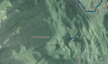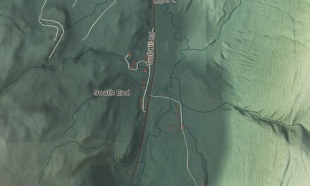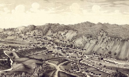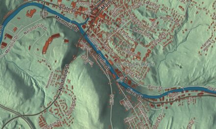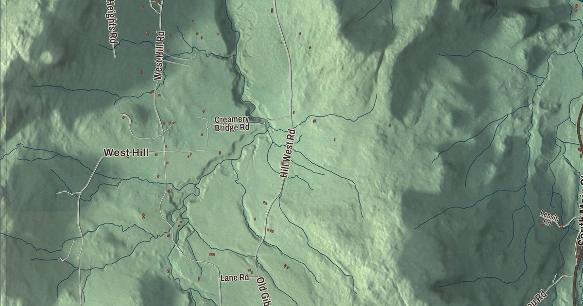
Montgomery follows the Trout River down out of the northern Green Mountains, from Montgomery Center to the old village by the green, past one covered bridge after another. This map prints North Main Street, Main Street, South Main Street, Mountain Road, Jay Mountain Road and South Road, with West Hill, Montgomery Center, Hectorville, Hutchins and the Trout River.
Montgomery is a town in Franklin County, Vermont.
KNOWOL made this map in 2026 from public survey data and gave it the look of an old county atlas, shading the hills from United States Geological Survey elevation data and drawing the roads and town line from the Census Bureau. The town covers 56.7 square miles, and 1,184 people lived here at the 2020 census. Click here to purchase a print of this map for your wall.
A general’s name in the mountains
Vermont granted Montgomery on March 15, 1780, and chartered it on October 8, 1789. The town is named for General Richard Montgomery of the Continental Army, who was killed on the last day of 1775 leading the attack on Quebec City. Montgomery organized on August 12, 1802, and Joshua Clapp first represented it in the legislature in 1803. In 1963 part of Avery’s Gore became part of the town, while the rest went to Belvidere in Lamoille County.
The Montgomery House, a brick inn of 1803 on North Main Street just west of the triangular green in Montgomery village, stands on the route of the Revolutionary War era Bayley-Hazen Military Road and is the oldest known building in town. For many years it was the community’s meeting place, since the town had no other public buildings, and church services and town meetings were held there until the middle of the 1800s. When tourism arrived late in that century it became more of a hotel. Near the same green, St. Bartholomew’s Episcopal Church, built from 1832 to 1835 for a congregation formed in 1821, is one of Vermont’s oldest examples of Gothic Revival building. When the diocese planned to tear it down, the newly formed Montgomery Historical Society bought it in 1974, and it’s now the society’s Pratt Hall.
The Jewett brothers’ bridges
The brothers Sheldon and Savannah Jewett, who lived in Montgomery, are credited with building six surviving covered bridges in the town, one of the best-documented groups of bridges by a single builder in Vermont. They cut the timber at their own mill in the West Hill area and built to standard dimensions, changing only the length. The Longley bridge, over the Trout River northwest of the village, dates to 1863 and is the oldest of their surviving bridges; it’s now closed and bypassed. The Comstock bridge of 1883 crosses the Trout just west of the village, the Fuller bridge of 1890 crosses Black Falls Brook on the village’s north side, and the Hutchins bridge, also 1883, spans the South Branch of the Trout in the middle of town. The West Hill bridge, on Creamery Bridge Road about 3 miles south of the village, was renovated in 2009. The Hectorville bridge first stood in Montgomery Center, was moved to Gibou Road in the early 1900s, and as of 2016 was in storage awaiting repairs.
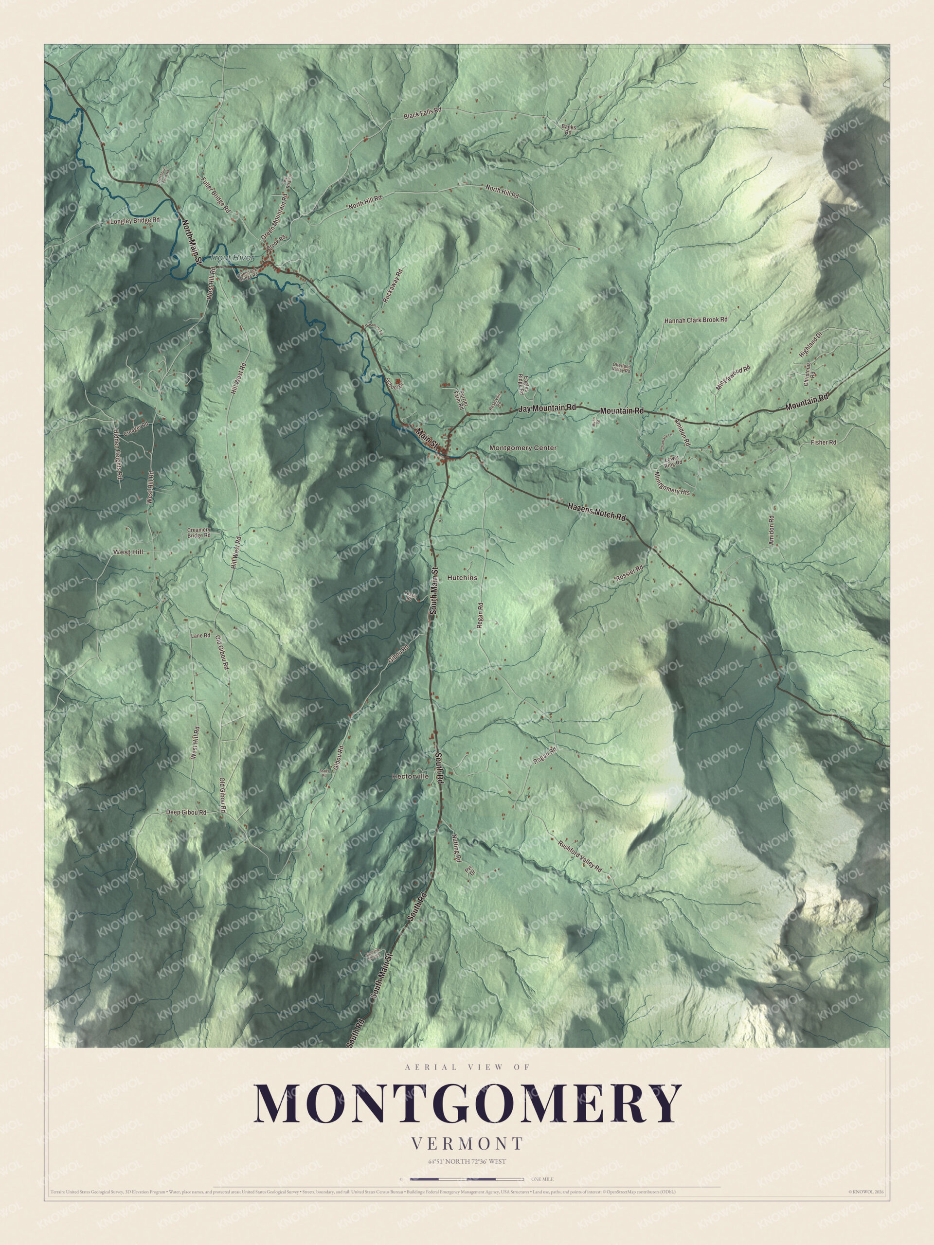
Click to explore a larger preview. The digital watermark does not appear on printed maps.
Names on this map
These names are printed on this map.
Places: West Hill, Montgomery Center, Hectorville, Hutchins and Trout River.
Streets and roads: South Road, North Main Street, Main Street, Mountain Road, South Main Street, Jay Mountain Road, Hazens Notch Road, Black Falls Road, Fuller Bridge Road, West Hill Road, Regan Road, Hill West Road.
More street names, A to Z
Amidon Road, Banks Road, Brady Road, Brook Road, Chantally Lane, Christmas Road, Comstock Bridge Road, Creager Road, Creamery Bridge Road, Deep Gibou Road, Dreamers Road, Dutchburn Farm Road, Eagles Ridge Road, Fisher Road, Gibou Road, Green Mountain Road, Hannah Clark Brook Road, Hidden Heights Road, Highland Drive, Highland Springs, Lane Road, Lessin Road, Longley Bridge Road, Lower Ring Road, Minglewood Road, Montgomery Heights, Munn Road, North Hill Road, Nutting Road, Oberland Valley Road, Old Gibou Road, Purrier Farm Road, Pvr Drive, Reservoir Road, Rockaway Road, Rossier Road, Rushford Valley Road, School Drive, Twp Road 5.
See it on a wall
The Montgomery map as a framed print. Swipe for more.


Montgomery Center and the notch roads
Nearly all of the town drains to the Trout River, which begins where Jay Brook and Wade Brook meet, runs through the middle of the Center, and flows northwest toward the Missisquoi River and Lake Champlain. Route 118 follows the valley through town, as North Main Street along the river’s northeast bank. At Montgomery Center it meets Route 58, which climbs southeast as Hazens Notch Road over the notch to Lowell and closes in winter on its dirt stretch, and Route 242, which runs out of the Center as Mountain Road and over the mountains toward Jay. Big Jay, 3,786 feet, stands in the town’s northeast corner and is the highest point in Franklin County. The Community Baptist Church of 1866, a Greek Revival church at the junction of Route 118 and Mountain Road just north of the river, was a center of town suppers and Boy Scout meetings for years before its congregation disbanded in 2011, and a local community group now looks after it. Tourism, tied to nearby Jay Peak Resort, and farming carry much of the town’s economy.
Montgomery people
Elle Purrier St. Pierre grew up on a dairy farm in Montgomery Center, milking cows before school. She went on to win the 3000 meters at the 2024 World Athletics Indoor Championships in Glasgow, and she has run in the 1500 meter final at two Olympic Games, in 2020 and 2024. Percival L. Shangraw, born in Montgomery in 1897, served on the Vermont Supreme Court from 1958 and as its chief justice from 1972 to 1974. Homer W. Wheeler, born here in 1848, became a career Army officer and an author.
On the map, start at West Hill, then follow South Road, North Main Street, Main Street, Mountain Road, South Main Street and Jay Mountain Road. Montgomery Center, Hectorville and Hutchins are printed, and so is the Trout River. Montgomery dates to 1789.
This map of Montgomery is made for everyone who calls Montgomery home, and it shows the town as it looks today, from Montgomery Center down the Trout River valley. Hang it in an office, library or den, or use it to teach children the geography and history of their town. It’s printed on museum quality archival paper. Zoom in on the preview above to explore the details, then click here to get your copy of the Montgomery, Vermont map.

Sources
- Montgomery, Vermont, Wikipedia
- Town histories and representatives, M towns, Vermont Legislature
- Richard Montgomery, Wikipedia
- Montgomery House (Montgomery, Vermont), Wikipedia
- St. Bartholomew’s Episcopal Church (Montgomery, Vermont), Wikipedia
- Comstock Covered Bridge (Montgomery, Vermont), Wikipedia
- Longley Covered Bridge, Wikipedia
- Fuller Covered Bridge, Wikipedia
- Hutchins Covered Bridge, Wikipedia
- West Hill Covered Bridge, Wikipedia
- Hectorville Covered Bridge, Wikipedia
- Trout River (Vermont), Wikipedia
- Vermont Route 118, Wikipedia
- Vermont Route 58, Wikipedia
- Vermont Route 242, Wikipedia
- Big Jay, Wikipedia
- Community Baptist Church and Parsonage, Wikipedia
- Elle Purrier St. Pierre, Wikipedia
- Percival L. Shangraw, Wikipedia
- Homer W. Wheeler, Wikipedia