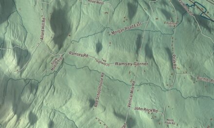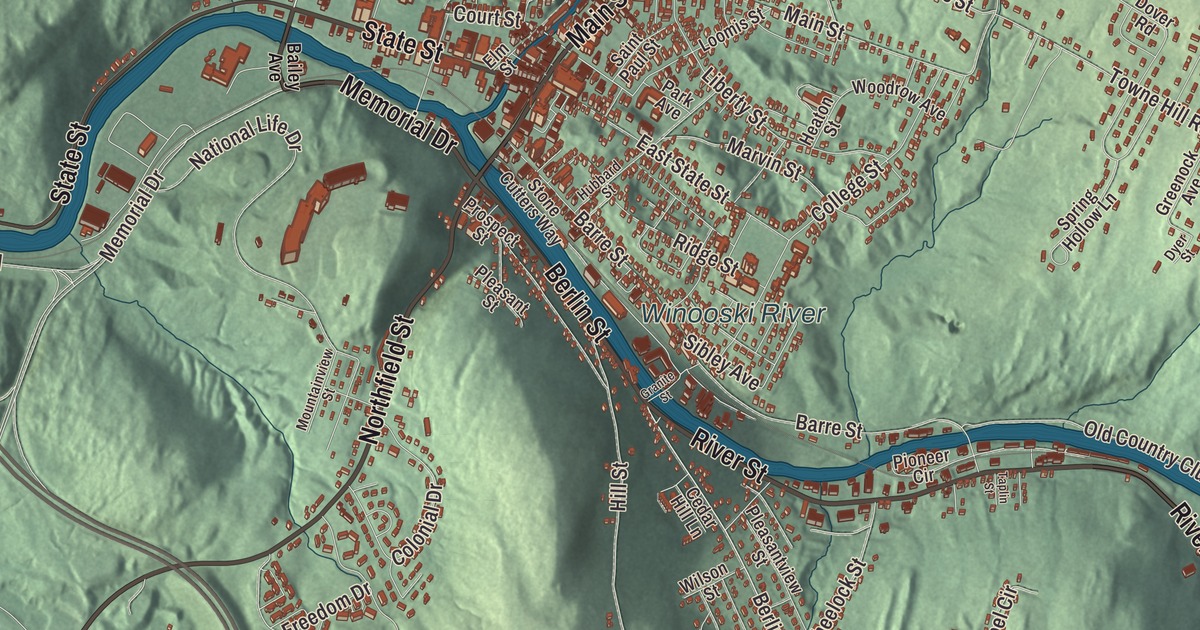
Montpelier grew up where the North Branch runs into the Winooski River, and the gold dome of the State House rises at the west end of State Street, against a wooded hill. This map prints State Street, Main Street, Elm Street, Berlin Street, River Street and Memorial Drive, with the Winooski River and the North Branch Winooski River.
Montpelier is a city in Washington County, Vermont.
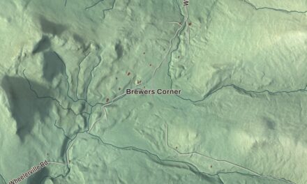
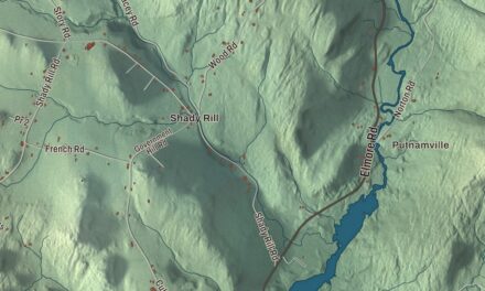
KNOWOL made this map in 2026 from public survey data and gave it the look of an old county atlas, shading the hills from United States Geological Survey elevation data and drawing the streets and city line from the Census Bureau. The city covers 10.3 square miles, and 8,074 people lived here at the 2020 census, which makes Montpelier the least populous state capital in the United States. Click here to purchase a print of this map for your wall.
The capital since 1805
Vermont granted Montpelier on October 21, 1780, and chartered it on August 14, 1781, to proprietors from Massachusetts and western Vermont. Settlement began in May 1787, when Colonel Jacob Davis and General Parley Davis came up from Charlton, Massachusetts. Parley surveyed the land while Jacob cleared forest and raised a large log house on the west side of the North Branch, and Jacob chose the name, after the French city of Montpellier, at a time when France’s help in the Revolutionary War had made all things French popular. The town organized in 1791, when 117 people lived here, and Jacob Davis was its first representative in the legislature.
By 1805 the town had about 1,200 people, and the legislature, looking for a permanent home, picked Montpelier for its central location and easy access, and because residents offered land and money. Townspeople paid for the first State House on State Street. Montpelier became the county seat of what’s now Washington County in 1811, and state government has been its main business ever since. The Marquis de Lafayette came through in 1825 on his tour of the United States, 50 years after the Revolution. In 1848 the legislature split the old town into Montpelier and East Montpelier, the Central Vermont Railway reached town on June 20, 1849, and manufacturing grew. Ten thousand people turned out in 1867 to greet General Philip Sheridan, who came to speak to a meeting of Vermont’s former Union officers and thanked Vermont’s veterans for their part at the Battle of Cedar Creek. The legislature chartered the City of Montpelier in 1894, and it organized the next year.
The People’s House
The State House on State Street is the third capitol on its site. Sylvanus Baldwin built the first in 1808. The second, a granite Greek Revival building by Ammi B. Young finished in 1838, was almost entirely lost to fire in January 1857, and Thomas Silloway designed the present building around the portico and parts of the walls he could save, raising the dome higher; it was occupied in 1859. Its page calls it the smallest state house in the United States, and the architect Stanford White thought it the finest example of the Greek Revival style in the country. The dome was a dark terracotta red at first and wasn’t gilded until the early 1900s. On top stands Agriculture, a figure of Ceres. The Vermont sculptor Larkin Goldsmith Mead carved the first one, set up in 1858, and the one there now, carved in mahogany by Chris Miller, replaced the second after it came down in April 2018.
A granite Ethan Allen stands in the portico. Inside, the Hall of Inscriptions carries quotations from the Vermont Constitution, Ethan Allen, Calvin Coolidge, Dorothy Canfield Fisher and others on eight marble tablets, each with fourteen gilded stars for Vermont’s fourteen counties, its fourteen years as an independent republic, and its place as the fourteenth state. The Cedar Creek Room holds Julian Scott’s 1874 mural of the Battle of Cedar Creek, honoring the Vermont troops who fought there, and most of the furniture dates to 1859, including the 30 black walnut chairs still used in the Senate chamber. It’s nicknamed “the People’s House,” and it stays open to visitors with remarkably few restrictions, in session or not. Just east, past the Vermont Supreme Court building, the Vermont Historical Society, founded in 1838, runs the Vermont History Museum in the Pavilion building.
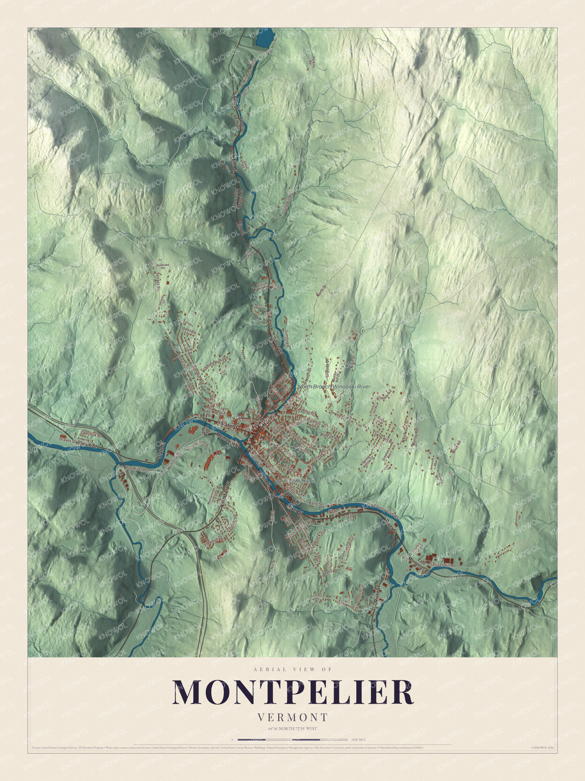
Click to explore a larger preview. The digital watermark does not appear on printed maps.
Names on this map
These names are printed on this map.
Places: Winooski River and North Branch Winooski River.
Streets and roads: River Street, Berlin Street, Main Street, Memorial Drive, Elm Street, State Street, Northfield Street, Bailey Avenue, Mill Road, Court Street, Freedom Drive, Terrace Street.
More street names, A to Z
Baldwin Street, Barre Street, Baseball Drive, Bliss Road, Cedar Hill Lane, Chestnut Hill Road, City Dump Road, Cityside Drive, Clarendon Avenue, Cliff Street, College Street, Colonial Drive, Connor Road, Corry Road, Corse Street, Country Club Road, Cummings Street, Dairy Lane, Deerfield Drive, Dog River Road, Dover Road, Dyer Street, East Montpelier Road, East State Street, Essex Way, Ewing Street, Forest Drive, Franklin Street, Gallison Hill Road, Garland Lane, Gould Hill Road, Granite Street, Graves Street, Greenock Avenue, Grout Road, Hackamore Road, Haggett Road, Heaton Street, Hebert Road, Hill Street, Horn of the Moon Road, Hubbard Park Drive, Hubbard Street, Isabel Circle, Judson Drive, Kildrummy Way, Liberty Street, Log Road, Loomis Street, Maplewood Road, Marvin Street, Mountainview Street, Murray Hill Drive, Murray Road, National Life Drive, North Park Drive, North Street, Old Country Club Road, Overlook Drive, Park Avenue, Parkway, Pearl Street, Pembroke Heights, Perkins Road, Pinewood Road, Pioneer Circle, Pleasant Street, Pleasantview Street, Prospect Street, Ridge Street, Saint Paul Street, Sherwood Drive, Sibley Avenue, Spring Hollow Lane, Spring Street, Stone Cutters Way, Stretchs Way, Taplin Street, Towne Hill Road, Towne Street, Trillium Hill Road, Upper Elm Street, Valerie Avenue, Vine Street, Westwood Drive, Wheelock Street, Wilson Street, Winter Street, Woodrow Avenue, Worcester Branch Road.
See it on a wall
The Montpelier map as a framed print. Swipe for more.


Downtown and the rivers
The Montpelier Historic District, listed on the National Register of Historic Places in 1978 and enlarged in 1989 and 2018, takes in the State House, the Pavilion, the commercial downtown and the older neighborhoods to the east and north. Its streets follow the two rivers. State Street runs west to the capitol, Barre and Berlin Streets run east, and Main Street runs north to a fork with Elm Street before turning east into the hills. Fires destroyed 38 buildings in 1875, and the business district came back in brick. The city’s page credits the village with the first municipal water-driven hydro system in Vermont, in 1884, which made enough electricity for the streetlights. In 1954 a new bridge at Bailey Avenue was tied to an extension of Winooski Avenue, now Memorial Drive, to take some traffic out of downtown. By the river at One Granite Street, the National Clothespin Factory of 1918 was home to the country’s last maker of wooden clothespins; of the fifteen clothespin factories the nation once had, it was the last to close, in 2003.
Hubbard Park, Green Mount and Seminary Hill
Hubbard Park rises north of the State House. John Erastus Hubbard left 134 acres of Hubbard Hill to the city when he died in 1899, with the wish to “preserve wilderness,” and the park has grown to 194 acres with about 7 miles of trails and a 54-foot observation tower built between 1915 and 1930. Out State Street, Green Mount Cemetery, opened in 1854, fills 35 acres of terraced hillside, and its carved stones honor the skill of the state’s granite and marble workers. Its Soldiers’ Lot, given by the townspeople during the Civil War, holds six Union veterans. East of downtown on Seminary Hill, College Hall, a big brick Second Empire building finished in 1872, was built for the Methodist seminary that moved here from Newbury in the late 1860s, and it’s now the center of the Vermont College of Fine Arts campus.
Montpelier people
George Dewey was born in Montpelier on December 26, 1837, directly across from the State House. In command of the Asiatic Squadron, he won the Battle of Manila Bay in 1898, sinking or capturing the entire Spanish Pacific fleet, and he was made Admiral of the Navy in 1903. Vermont proclaimed October 12, 1899, as Dewey Day, and thousands came to his hometown to celebrate, and his portrait hangs in the State House entrance hall. His father, Julius Y. Dewey, was a founder of the National Life Insurance Company and of Christ Episcopal Church on State Street.
The artist Thomas Waterman Wood was born here in 1823. He built Athenwood, his Carpenter Gothic home, in 1850 and 1851 on what’s now Northfield Street, later served as president of the National Academy of Design, and gave his hometown its gallery of art; he’s buried at Green Mount Cemetery. Daniel Pierce Thompson, author of The Green Mountain Boys, is buried there too, beside a granite bench. Others who were born or have lived in Montpelier include the singer-songwriter Anaïs Mitchell, Rob Mermin, who founded Circus Smirkus, and Amanda Pelkey, an Olympic gold medalist in hockey in 2018.
On the map, start on River Street, then follow Berlin Street, Main Street, Memorial Drive, Elm Street and State Street across the city. The Winooski River and the North Branch Winooski River are printed. Montpelier dates to 1781.
This map of Montpelier is made for everyone who calls Montpelier home, and it shows the city as it looks today, from the State House to the North Branch. Hang it in an office, library or den, or use it to teach children the geography and history of their city. It’s printed on museum quality archival paper. Zoom in on the preview above to explore the details, then click here to get your copy of the Montpelier, Vermont map.

Sources
- Montpelier, Vermont, Wikipedia
- Town histories and representatives, M towns, Vermont Legislature
- Vermont State House, Wikipedia
- Vermont Historical Society, Wikipedia
- Montpelier Historic District (Vermont), Wikipedia
- National Clothespin Factory, Wikipedia
- Hubbard Park (Montpelier, Vermont), Wikipedia
- Green Mount Cemetery (Montpelier, Vermont), Wikipedia
- College Hall (Montpelier, Vermont), Wikipedia
- Vermont College of Fine Arts, Wikipedia
- George Dewey, Wikipedia
- Christ Episcopal Church (Montpelier, Vermont), Wikipedia
- Thomas Waterman Wood, Wikipedia
- Athenwood and the Thomas W. Wood Studio, Wikipedia
- List of people from Montpelier, Vermont, Wikipedia