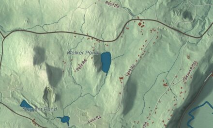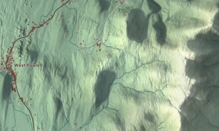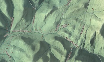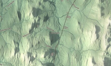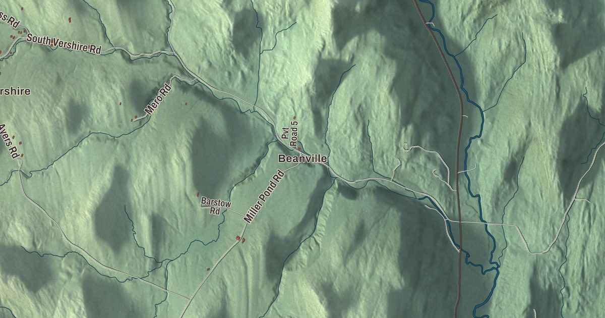
Vershire’s name is a blend of two states, Vermont and New Hampshire. This map prints Beanville, Brimstone Corner, Vershire Heights, South Vershire and Mill Village, with Whitehouse Pond and roads such as Tullar Road, Tenny Hill Road, Mud Lane and Vershire Center Road.
Vershire is a town in Orange County, Vermont.
KNOWOL made this map in 2026 from public survey data and gave it the look of an old county atlas, shading the hills from United States Geological Survey elevation data and drawing the roads and town line from the Census Bureau. The town covers 36.5 square miles, and 672 people lived here at the 2020 census. Click here to purchase a print of this map for your wall.
A Vermont charter and a copper name
Vermont granted Vershire on November 7, 1780, and chartered it on August 3, 1781. The town was organized on August 27, 1783, and sent Joel Walker as its first representative in 1785. The Ompompanoosuc River, which runs about 25 miles south to the Connecticut, rises here, and its West Branch also flows through Vershire on its way to Thetford.
Copper gave the town a different name for a time. The Ely Mining Company mined copper here, and around 1880 the town and one of its villages were renamed Ely after it. The old name came back in November 1882. In 1984 Milton Academy bought the Mountain School in Vershire, a 418-acre campus and working farm where high school students from around the country spend a semester living and working on the farm.
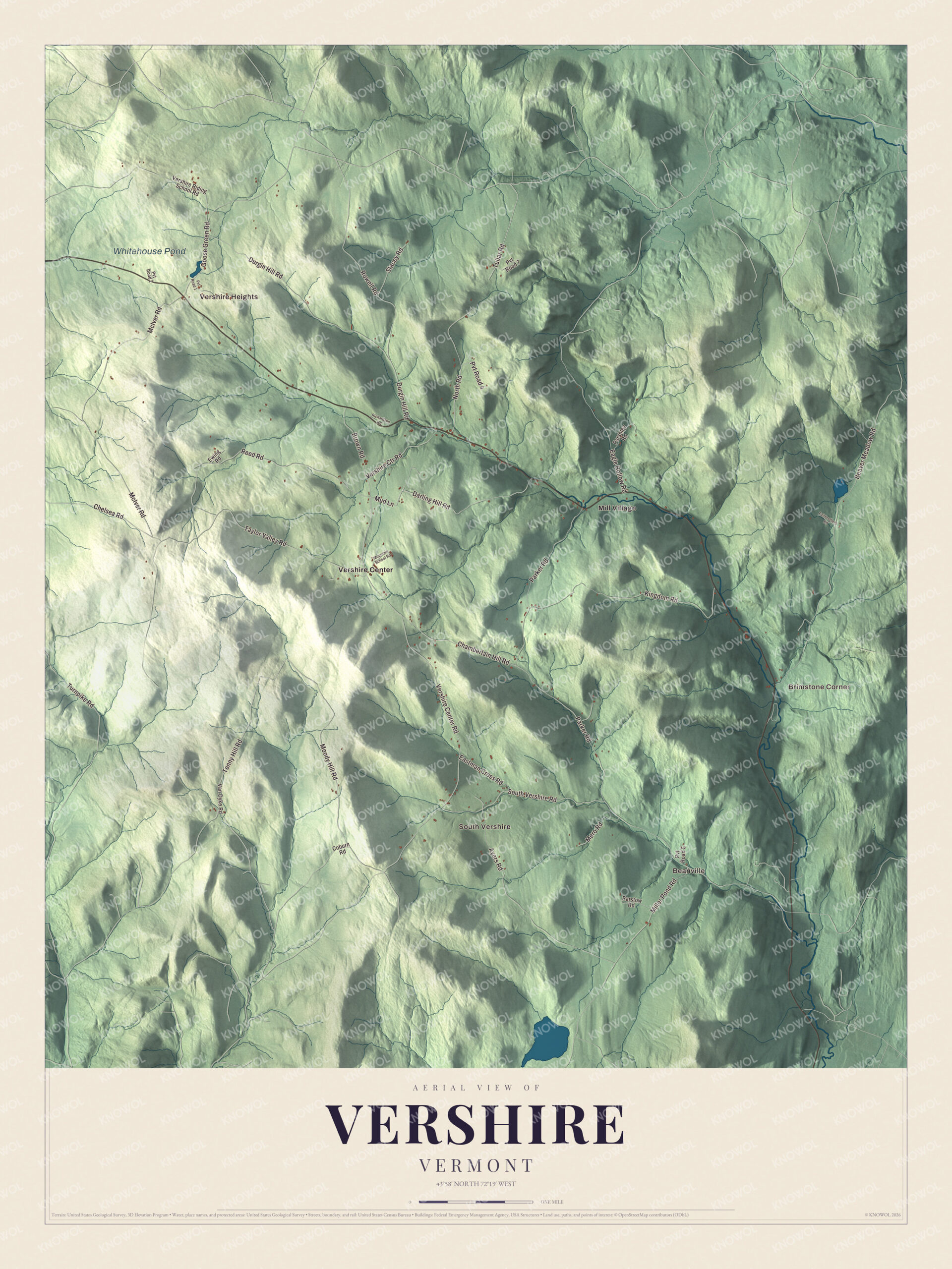
Click to explore a larger preview. The digital watermark does not appear on printed maps.
Names on this map
These names are printed on this map.
Places: Beanville, Brimstone Corner, Vershire Heights, South Vershire, Whitehouse Pond, Mill Village and Vershire Center.
Streets and roads: Tullar Road, Tenny Hill Road, Mud Lane, Vershire Center Road, Chelsea Road, Turnpike Road, Parker Road, South Vershire Road, McIver Road, Durgin Hill Road, Taylor Valley Road, Eagle Hollow Road.
More street names, A to Z
Ayers Road, Barstow Road, Beaver Meadow Road, Brown Road, Chamberlain Hill Road, Coburn Road, Darling Hill Road, Eastman Cross Road, Ewing Road, Fairbrothers Road, Goose Green Road, Kingdom Road, Mero Road, Miller Pond Road, Moody Hill Road, Mountain School Road, North Road, Parshley Road, Pvt Road 1, Pvt Road 2, Pvt Road 4, Pvt Road 5, Pvt Road 7, Reed Road, Richardson Road, Rowell Road, Stacey Road, Van Dyke Road, Vershire Ctr Road, Vershire Riding School Road.
See it on a wall
The Vershire map as a framed print. Swipe for more.


Two women who served
Fanny Titus Hazen was born in Vershire in 1840, the eldest of eleven children. Three of her brothers served in the Union Army, and in 1864, younger than the preferred minimum age for nurses, she joined the Army nursing corps under Dorothea Dix and worked at Columbia Hospital in Washington until the war ended. Years later she was president of the National Association of Army Nurses of the Civil War. Marion Pritchard, who moved to Vershire with her husband in 1976, had been a young social worker in the occupied Netherlands, where she helped save about 150 Dutch Jews, most of them children, by registering babies as her own, finding safe homes and securing false papers. Yad Vashem named her Righteous Among the Nations in 1981. After the move she trained and practiced as a psychoanalyst.
On the map, start in Beanville, then follow Tullar Road, Tenny Hill Road, Mud Lane, Vershire Center Road, Chelsea Road and Turnpike Road across town. Then look outward toward Brimstone Corner, Vershire Heights, South Vershire and Mill Village. Whitehouse Pond is printed too. Vershire dates to 1781.
This map of Vershire is made for everyone who calls Vershire home, and it shows the town as it looks today, from Beanville and Mill Village to Whitehouse Pond. Hang it in an office, library or den, or use it to teach children the geography and history of their town. It’s printed on museum quality archival paper. Zoom in on the preview above to explore the details, then click here to get your copy of the Vershire, Vermont map.

Sources