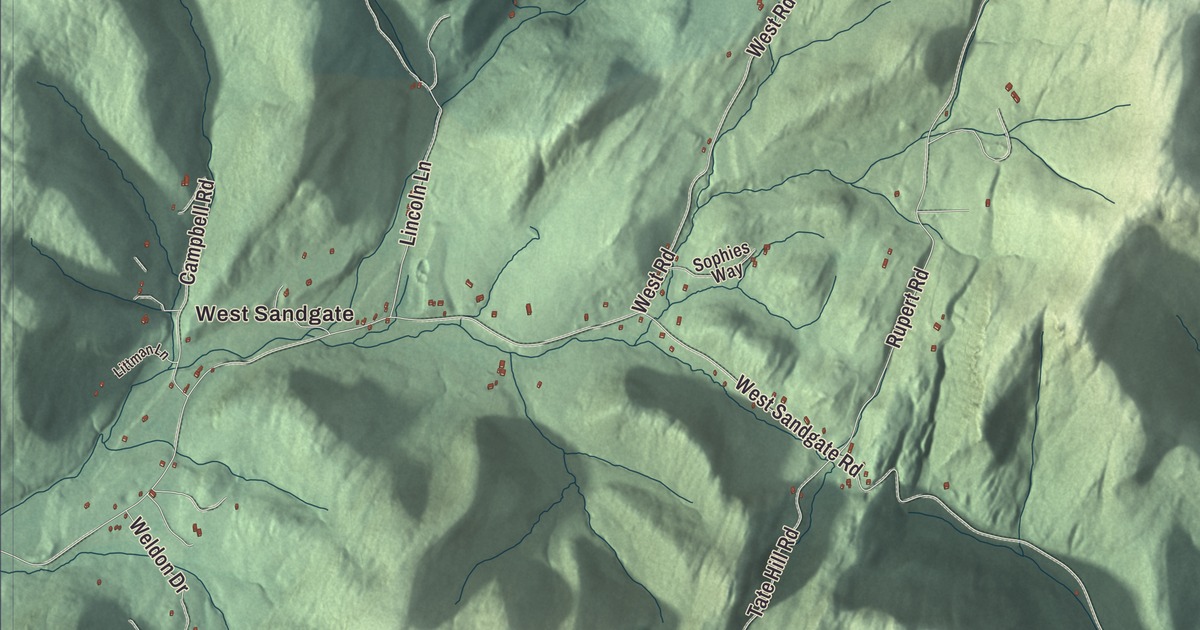
Sandgate lies entirely in the Taconic Mountains of northwestern Bennington County, a long mountain valley on the Green River between Rupert to the north and Arlington to the south, with Salem, New York, to the west. This map prints West Sandgate, Sandgate Road, Chunks Brook Road, West Rupert Road and Snow Road, with Lake Madeleine, Barbos Lake and Hopper Pond.
Sandgate is a town in Bennington County, Vermont.
KNOWOL made this map in 2026 from public survey data and gave it the look of an old county atlas, shading the hills from United States Geological Survey elevation data and drawing the roads and town line from the Census Bureau. The town covers 42.2 square miles, and 387 people lived here at the 2020 census. Click here to purchase a print of this map for your wall.
A valley in the Taconics
New Hampshire granted Sandgate on August 14, 1761, and Reuben Thomas represented it in the legislature in 1778. Bear Mountain, at 3,301 feet, is the highest point, in the northern part of town, and the eastern side takes in the lower slopes of Equinox Mountain, whose summit is in neighboring Manchester. The western slopes of Equinox drain to the Green River, which forms a 10-mile, dead-end mountain valley where Sandgate lies, headed by Mother Myrick Mountain; the river flows south through Sandgate to meet the Batten Kill at West Arlington. Camden Creek rises near West Sandgate, just east of the New York line.
Every bit of the town drains to the Batten Kill, which runs 59.4 miles into New York and is the longest tributary on the east side of the Hudson River. The river is known for its trout fishing.
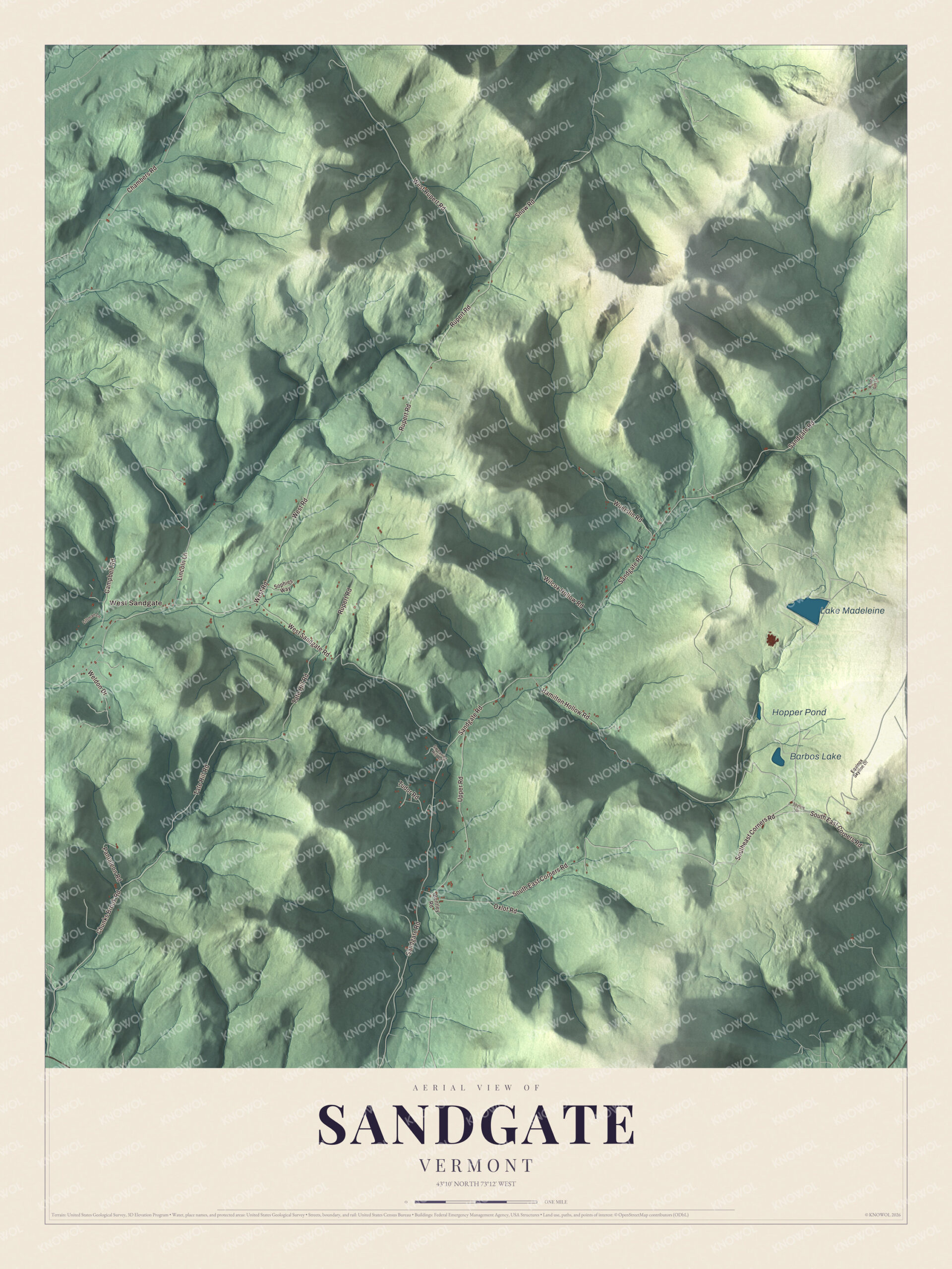
Click to explore a larger preview. The digital watermark does not appear on printed maps.
Names on this map
These names are printed on this map.
Places: West Sandgate, Lake Madeleine, Barbos Lake and Hopper Pond.
Streets and roads: Chunks Brook Road, South East Corners Road, Southeast Corners Road, West Rupert Road, Snow Road, Chambers Road, Sandgate Road, West Sandgate Road, Rupert Road, Tate Hill Road, West Road, Upper Road.
More street names, A to Z
Bentley Road, Campbell Road, Equinox Skyline Drive, Hamilton Hollow Road, Lincoln Lane, Littman Lane, Oxlot Road, Pantaleon Road, Skyline Drive, Sophies Way, Swearing Hill Road, Tudor Road, Weldon Drive, Wilcox Hollow Road, Woods Gift Lane, Wuerslin Road.
See it on a wall
The Sandgate map as a framed print. Swipe for more.


Sandgate people
Silas W. Sanderson was born in Sandgate in 1824. He studied at Williams and Union colleges, practiced law in Florida, sailed to California around South America in 1850 and settled in Coloma, and he became the seventh Chief Justice of California. Ormsby B. Thomas, born in Sandgate in 1832, moved with his parents to the Wisconsin Territory as a small child, practiced law there, and served three terms in the United States House of Representatives, from 1885 to 1891.
On the map, start with West Sandgate, then follow Chunks Brook Road, South East Corners Road, West Rupert Road, Snow Road, Chambers Road and Sandgate Road across town. Lake Madeleine, Barbos Lake and Hopper Pond are printed too. Sandgate dates to 1761.
This map of Sandgate is made for everyone who calls Sandgate home, and it shows the town as it looks today, from Sandgate Road and West Sandgate to Lake Madeleine and Hopper Pond. Hang it in an office, library or den, or use it to teach children the geography and history of their town. It’s printed on museum quality archival paper. Zoom in on the preview above to explore the details, then click here to get your copy of the Sandgate, Vermont map.

Sources