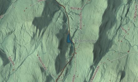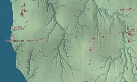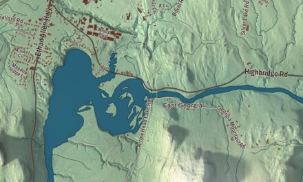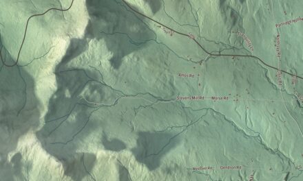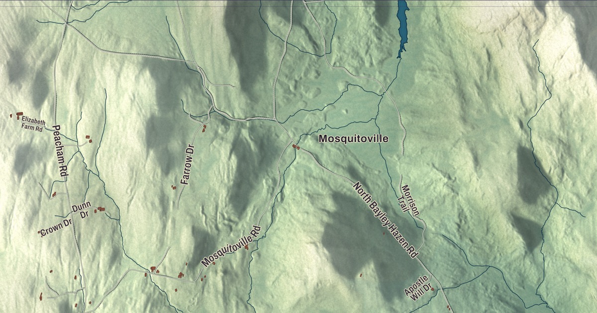
Ryegate is bounded on the east by the Connecticut River, across from Bath, New Hampshire, and drained by the Wells River, and its villages are South Ryegate, East Ryegate and Ryegate Corner. This map prints Ryegate Corner, South Ryegate and Mosquitoville, with Church Street, Witherspoon Road, Scott Highway and Ticklenaked Pond.
Ryegate is a town in Caledonia County, Vermont.
KNOWOL made this map in 2026 from public survey data and gave it the look of an old county atlas, shading the hills from United States Geological Survey elevation data and drawing the roads and town line from the Census Bureau. The town covers 36.8 square miles, and 1,165 people lived here at the 2020 census. Click here to purchase a print of this map for your wall.
The Scottish settlement
Benning Wentworth, New Hampshire’s governor, chartered Ryegate on September 8, 1763, to Richard Jenness and 93 others, and the name is a variant spelling of Reigate in Surrey, England. The first settlers were Aaron Hosmer and his family. The southern half of town was sold to John Witherspoon and others, and in 1773 two agents bought it for the Scotch American Company of Farmers, from Renfrew and Lanark in Scotland, whose members began settling here in 1774. The town organized on May 21, 1776, and James Whitelaw was its first representative in the legislature, in 1780.
James Whitehill of Inchinnan in Renfrewshire, one of many Scottish immigrants to the region, arrived in 1798, helped found the local Presbyterian church, and in 1808 built a house of roughly coursed granite on the Groton-Peacham Road in the northwest part of town. The Whitehill House is the oldest surviving building in Ryegate and a distinctive example of stonework by Scottish immigrants, and it stayed with Whitehill’s descendants until 1928, when a family association took it over.
Farms, railroads and granite
Ryegate’s soil was good for grain, vegetables and orchards, its streams were full of salmon and trout, and its hills and valleys fed sheep and cattle. The Connecticut and Passumpsic Rivers Railroad reached the town in 1847, and by 1859 Ryegate was known for its butter and leather, while the Wells River ran a gristmill and five sawmills. The Montpelier and Wells River Railroad was finished in 1873, a big brickyard opened in 1890 and the Ryegate Paper Company began in 1906. But the town’s main industry was its six granite quarries at Blue Mountain, at 2,192 feet the highest point in town.
About 1905, to house immigrant workers in the area’s granite businesses, George E. Lind, who had come from Germany in 1851 and was known for standing up for immigrants’ working and living conditions, built seven nearly identical houses on Pleasant Street in South Ryegate, a side street between Church Street and Route 302. They were sturdier than Lind’s own modest house nearby, and today the Lind Houses are one of the best-preserved groups of period worker housing in Vermont.
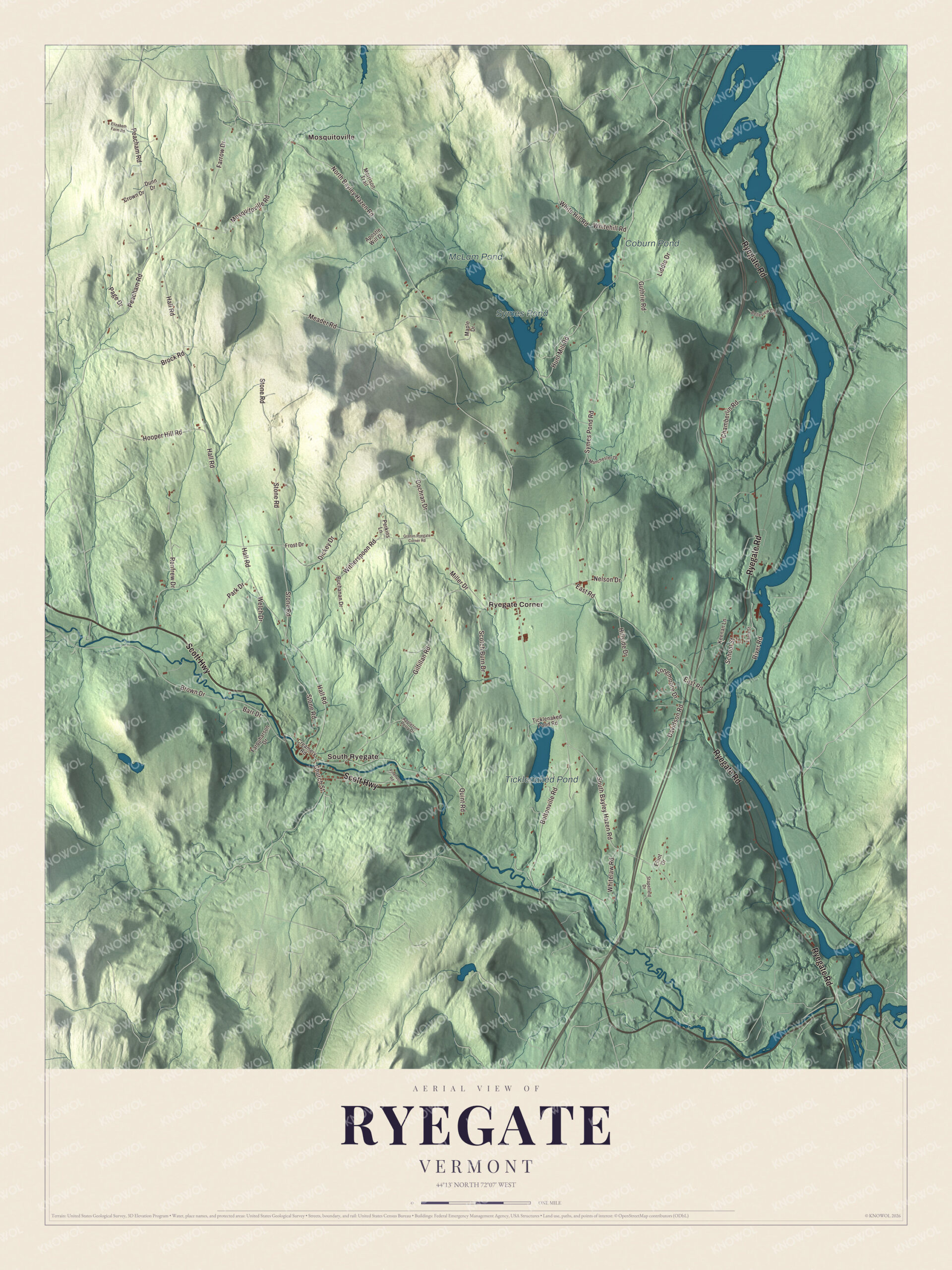
Click to explore a larger preview. The digital watermark does not appear on printed maps.
Names on this map
These names are printed on this map.
Places: Ticklenaked Pond, Symes Pond, McLam Pond, Coburn Pond, Mosquitoville, Ryegate Corner and South Ryegate.
Streets and roads: Scott Highway, Ryegate Road, Witherspoon Road, Church Street, Hall Road, South Bayley Hazen Road, White Hill Road, Brown Drive, North Bayley Hazen Road, Stone Road, Symes Pond Road, Peacham Road.
More street names, A to Z
Apostle Will Drive, Appleton Perry Drive, Barr Drive, Belleview Drive, Boltonville Road, Brock Road, Buchanan Drive, Chamberlin Road, Cochran Drive, Creamery Road, Crown Drive, Davidson Road, Dickey Drive, Dunn Drive, East Road, Elizabeth Farm Road, Elliot Drive, Farm Street, Farquharson Drive, Farrow Drive, Frost Drive, Gilfillan Road, Groton-Ryegate Corner Road, Guthrie Road, Hillside Drive, Hooper Hill Road, Hunt Mill Road, Keenan Lane, Liddle Drive, Longmoore Drive, Manchester Drive, Maple Drive, Meader Road, Miller Drive, Morrison Trail, Mosquitoville Road, Nelson Drive, Page Drive, Park Drive, Perkins Lane, Pinehurst Road, Quint Road, Renfrew Drive, River Road, School Street, Scotch Burn Drive, Stapelfeld Drive, Ticklenaked Pond Road, Welch Drive, Whitehill Road, Whitelaw Road.
See it on a wall
The Ryegate map as a framed print. Swipe for more.


Around the map
The Wells River starts at Ricker Pond in Groton and flows southeast through Ryegate and Newbury to the Connecticut, with Route 302 following it most of the way. East Ryegate lies on the Connecticut River along Route 5, about 15 miles south of St. Johnsbury, and Interstate 91 crosses the town too. Ticklenaked Pond was once known as Tickenecket and Tickeneck. Alexander Dunnett, later the United States attorney for Vermont, grew up in Peacham and Ryegate, practiced law here, served as the town’s school superintendent and town meeting moderator, and is buried in Ryegate’s Hillside Cemetery.
On the map, start with Mosquitoville and Ryegate Corner, then follow Scott Highway, Ryegate Road, Witherspoon Road, Church Street, Hall Road and South Bayley Hazen Road across town. Then look outward toward South Ryegate. Ticklenaked Pond, Symes Pond, McLam Pond and Coburn Pond are printed too. Ryegate dates to 1763.
This map of Ryegate is made for everyone who calls Ryegate home, and it shows the town as it looks today, from Church Street in South Ryegate to Ryegate Corner and Ticklenaked Pond. Hang it in an office, library or den, or use it to teach children the geography and history of their town. It’s printed on museum quality archival paper. Zoom in on the preview above to explore the details, then click here to get your copy of the Ryegate, Vermont map.

Sources