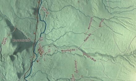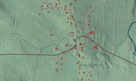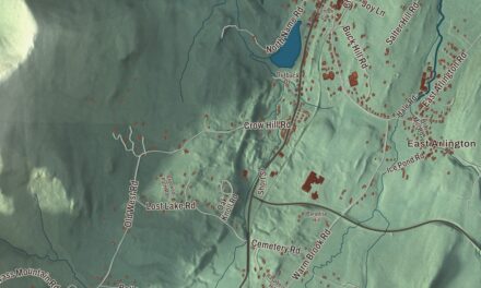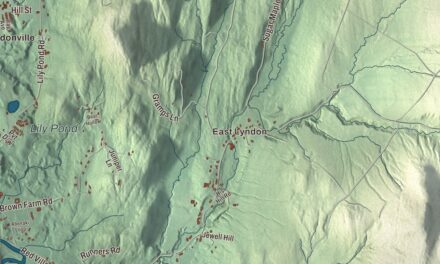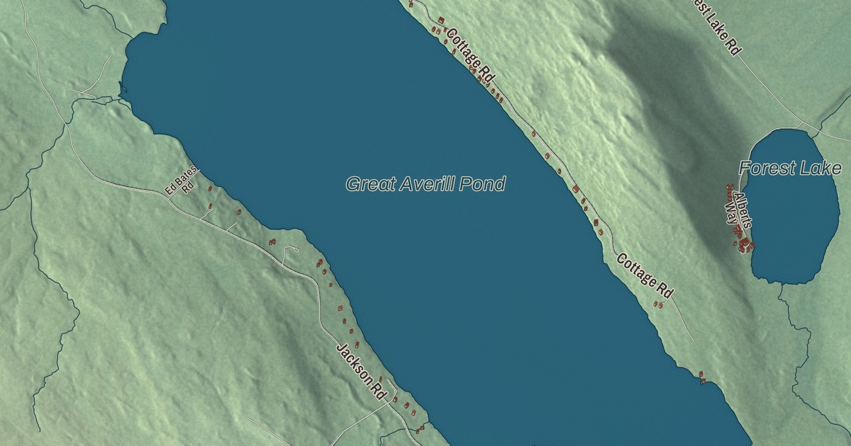
Great Averill Pond has two shores with two ways of life: the town’s page says the Cottage Road side has electric power and the Jackson Road side isn’t wired for it. This map prints Great Averill Pond, Little Averill Pond and Forest Lake, with Cottage Road and Jackson Road, Hatchery Brook Road, East Branch Road, Canaan Hill Road and Sable Mountain Road.
Averill is in Essex County, and its northern corner is less than half a mile from the Canadian border.
KNOWOL made this map in 2026 from public survey data and gave it the look of an old atlas. The shaded terrain comes from United States Geological Survey elevation data; the highest point is an unnamed 2,970-foot summit on the Lemington line in the southeast. The roads and the town line come from the Census Bureau. Averill covers 38.1 square miles, 2.0 of them water, and it had 21 people at the 2020 census. Click here to purchase a print of this map for your wall.
A town that never organized
Averill was chartered in 1762, under Royal Governor Benning Wentworth, as part of the Province of New Hampshire, and named for Samuel Averill, a landholder. Its charter covered twenty three thousand and forty acres, split into seventy equal shares, and asked each grantee to cultivate a tenth of the land within five years and to save every pine fit for a ship’s mast. Settlers were slow to come. The first arrived in the 1830s, and in 1840 the town had 11 residents. A sawmill built in neighboring Norton in the 1870s brought the count up to 48 by 1880, and in the 1880s the Averill Lumber Company formed and ran a mill on the east side of the big lake until it burned in 1898.
Averill was never formally incorporated, because it never gained a large enough permanent population. Averill, with the unorganized towns of Lewis and Ferdinand and the gores and grant nearby, had no local government; in 2000 a three-member Board of Governors was elected to replace the old Essex County Supervisor system, and the Unified Towns and Gores of Essex County handles its affairs today.
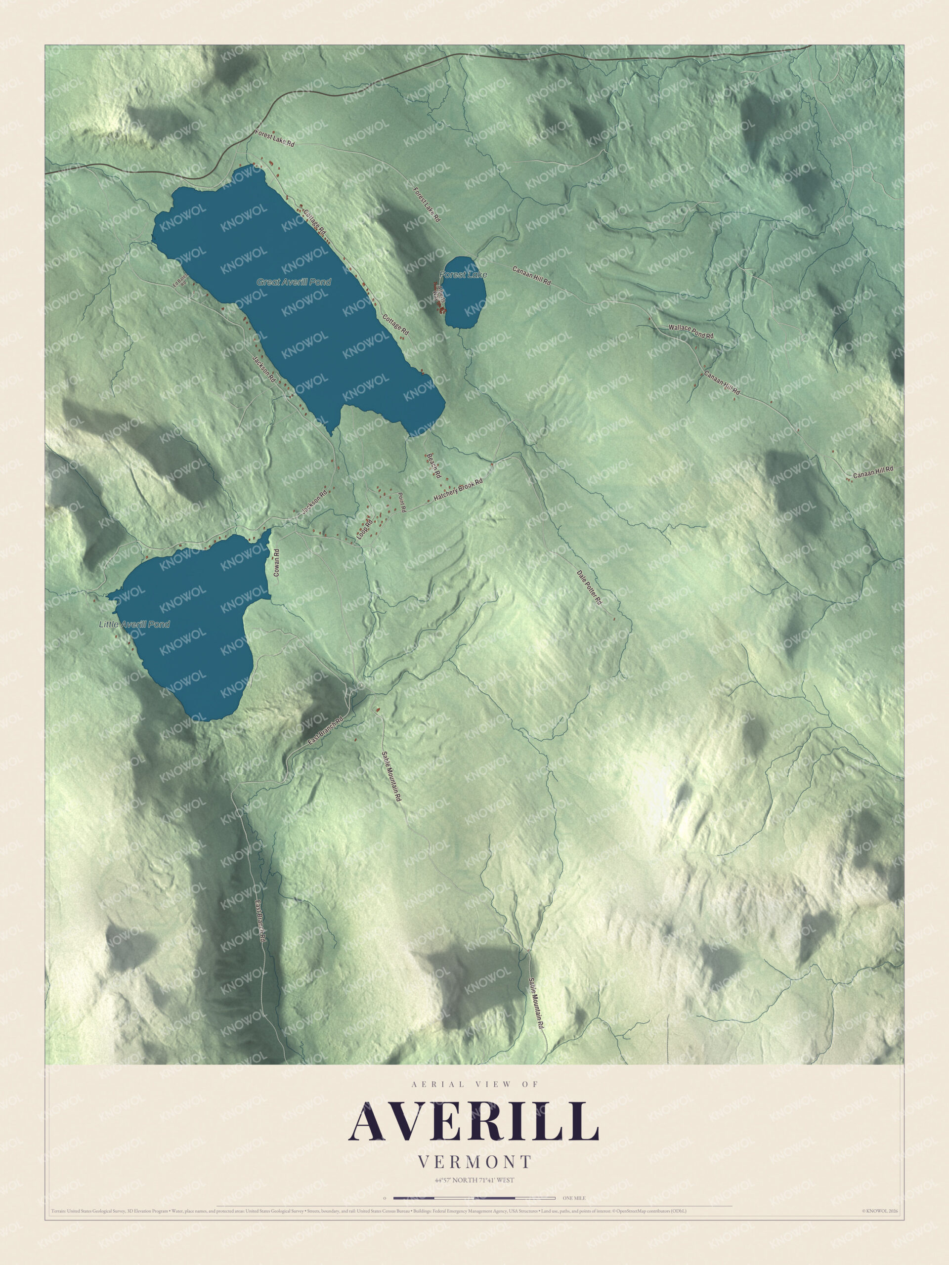
Click to explore a larger preview. The digital watermark does not appear on printed maps.
Names on this map
These names are printed on this map.
Places: Great Averill Pond, Little Averill Pond and Forest Lake.
Streets and roads: Hatchery Brook Road, East Branch Road, Jackson Road, Canaan Hill Road, Sable Mountain Road, Cottage Road, Forest Lake Road, Dale Potter Road, Loop Road, Cowan Road, Beach Road, Wallace Pond Road.
More street names, A to Z
Alberts Way, Ed Bates Road, Point Road.
See it on a wall
The Averill map as a framed print. Swipe for more.


The two Averill lakes
The town’s page calls them Big Averill Lake and Little Averill Lake. It notes that maps sometimes give the bigger one as Great Averill Pond, the name printed here. Big Averill is a rectangle about 2 miles long and 0.7 miles wide, and Little Averill lies 1,000 yards to its southwest. Forest Lake is in town too. Route 114 crosses only the northern tip of Averill, passing north of Great Averill Pond on its way from Norton, 5 miles west, to Canaan village, 8 miles east. The East Branch of the Nulhegan River rises in the center of town, heads briefly north and west, then turns south toward the Connecticut River.
The weather station sits near the north end of Great Averill Pond, just south of the border, at 1,699 feet, and the town’s page says that northern spot and height give Averill some of the coldest weather in Vermont, with daily average temperatures below freezing five months of the year and plenty of snow. Hatchery Brook Road, Canaan Hill Road and Sable Mountain Road are printed on the map too.
This Averill map is a handsome addition to an office, library or den, and it can even help teach children the geography and history of a lake town near the Canadian line. It’s made for everyone who calls Averill home, from Cottage Road to Forest Lake. KNOWOL created it in 2026, and it’s printed on museum quality archival paper. Zoom in on the preview above to explore the details, then click here to get your copy of the Averill, Vermont map.

Sources