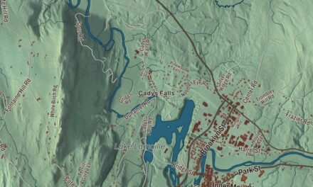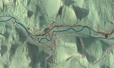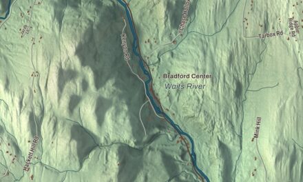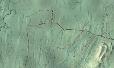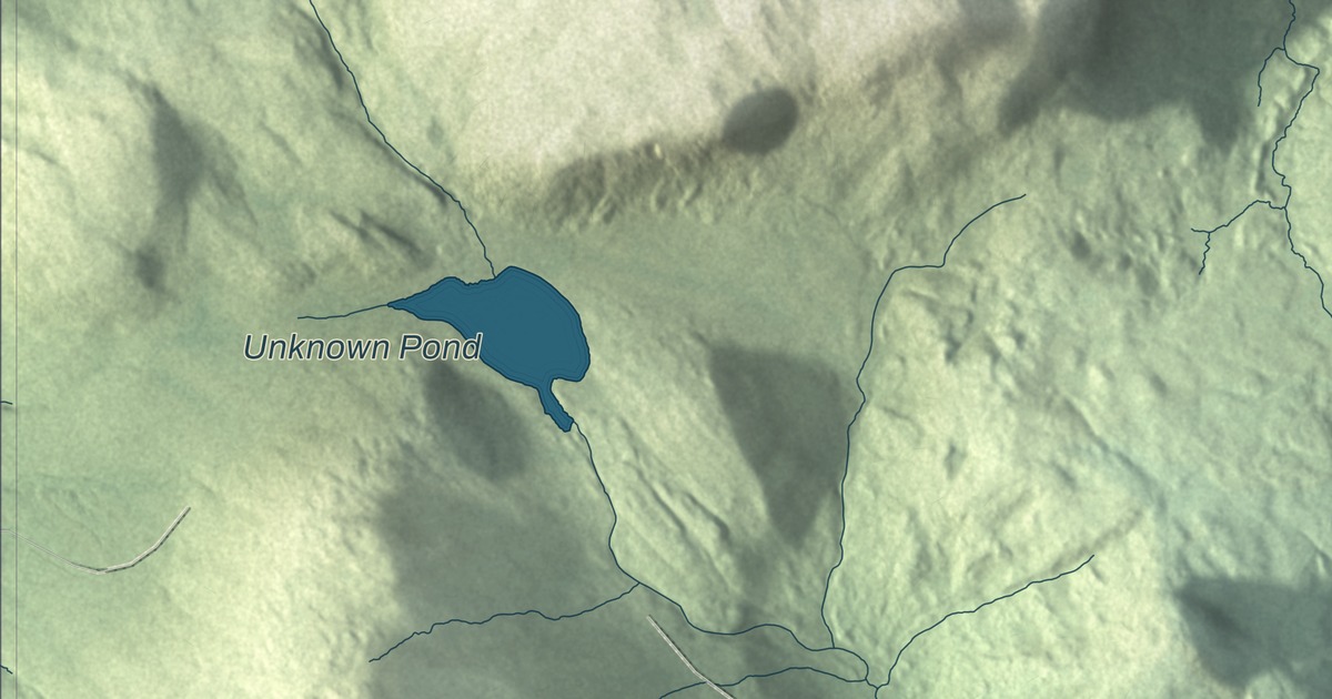
Nobody lives in Avery’s Gore, but the land has plenty to show: a mountain among the state’s highest, a pond at the head of a river, and a few hundred feet of dirt road. This map prints Unknown Pond and Del Green Road.
Avery’s Gore is in Essex County, and Gore Mountain, inside it, stands about 6 miles south of the Canadian border.
KNOWOL made this map in 2026 from public survey data and gave it the look of an old atlas. The shaded terrain comes from United States Geological Survey elevation data, and the roads and the gore’s boundary come from the Census Bureau. The gore covers 17.6 square miles, almost all of it land, and its page gives its elevation as 2382 feet. Click here to purchase a print of this map for your wall.
What a gore is
In Vermont, gores and grants are pieces of a county that belong to no town and have little self-government, if any. Some started as leftover slivers between surveyed towns, and the legislature found them useful for settling claims. This one is named for Samuel Avery of Westminster, a deputy sheriff and jailkeeper who had moved to Vermont from Connecticut before the Revolution. Before the war he’d obtained a large grant from Massachusetts for land in what’s now western Vermont, and later a patent for the same land from New York. The new Vermont government recognized New Hampshire grants, and he had none, so to make up his loss the legislature granted him eight separate tracts in the 1790s, about 52,000 acres in all, scattered around the state.
Most of Avery’s tracts were called Averys Gore or Averys Grant at some point, and the others were folded over the years into towns in Addison, Chittenden, Franklin and Windham counties. This one in Essex County is the only one left. Even its name has two spellings: Vermont’s records and statutes use the apostrophe, while the U.S. Board on Geographic Names leaves apostrophes out of place names, and Esther Swift’s Vermont Place-Names writes Averys Gore.
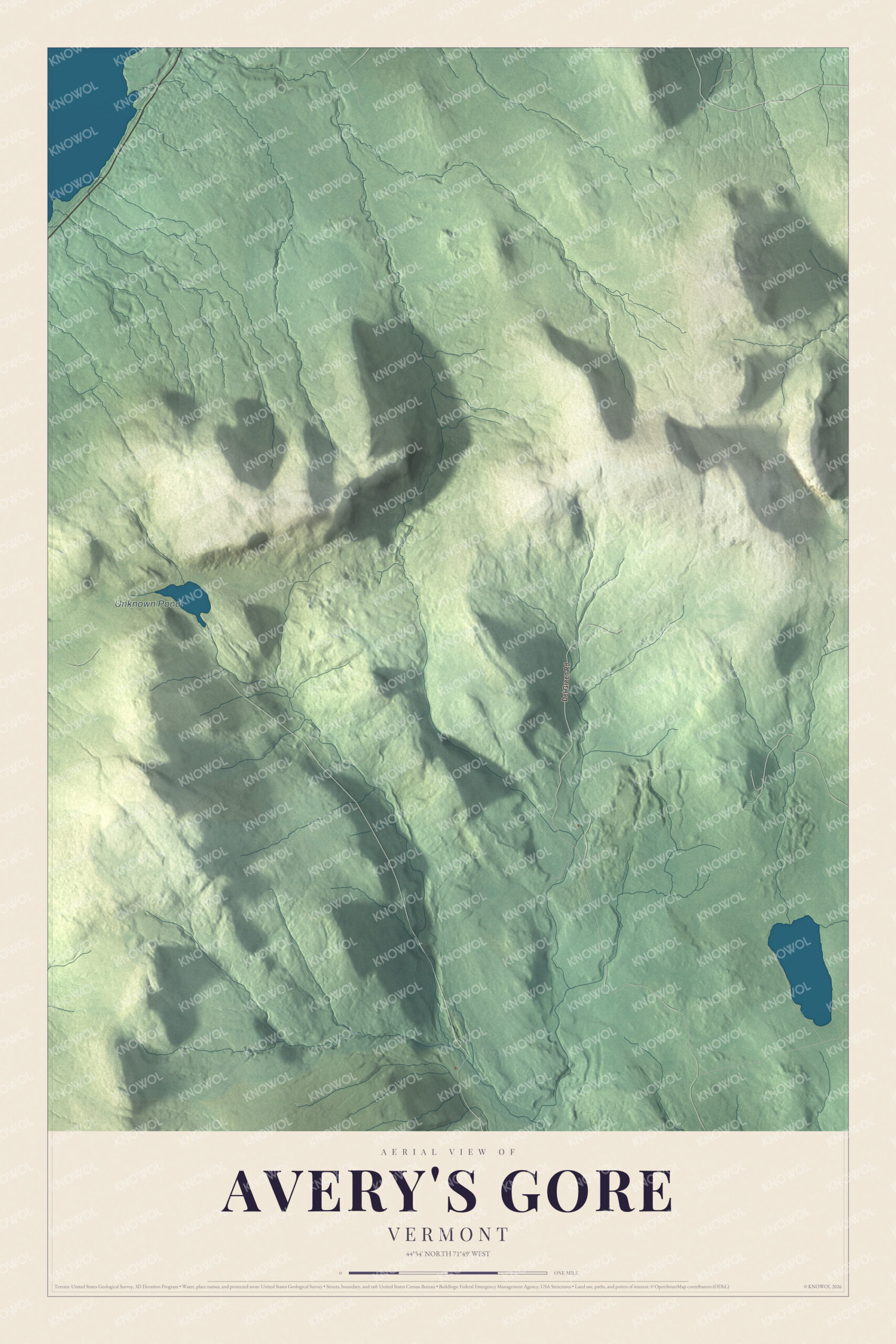
Click to explore a larger preview. The digital watermark does not appear on printed maps.
See it on a wall
The Avery's Gore map as a framed print. Swipe for more.


Where two watersheds meet
Gore Mountain rises in the eastern part of the gore, one of the 50 highest mountains in Vermont, with Black Mountain to its northeast and Middle Mountain to its northwest. The gore drains two ways. Brooks on its north side run to the Coaticook River and on through Quebec to the St. Lawrence, and the rest of the land drains south by the North Branch or the Black Branch of the Nulhegan River to the Connecticut. The North Branch begins at the mouth of Unknown Pond, at 2,326 feet, in a saddle between Middle Mountain and Bluff Mountain, and runs 14.4 miles before it joins the main river in Ferdinand.
Down along the North Branch, by the Lewis town line, the gore has its few hundred feet of dirt road and one building or structure. No one lived here at the 2020 census, and 1950 was the last census that counted anyone at all. Del Green Road is printed on the map.
This Avery’s Gore map is an unusual addition to an office, library or den, and it can even help teach children how Vermont’s land was divided up and handed out. It’s made for anyone who loves this corner of Essex County, from Unknown Pond to Gore Mountain. KNOWOL created it in 2026, and it’s printed on museum quality archival paper. Zoom in on the preview above to explore the details, then click here to get your copy of the Avery’s Gore, Vermont map.

Sources