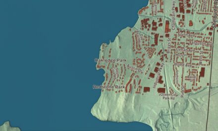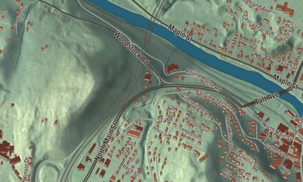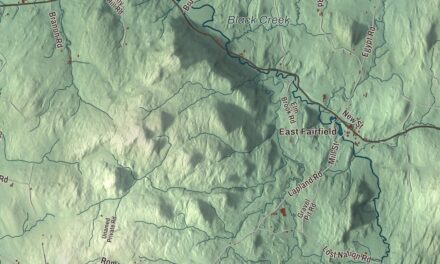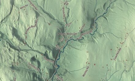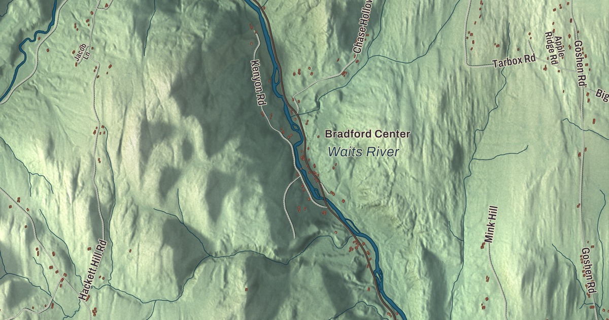
In Bradford village the Waits River tumbles over the falls by Route 5 on its last run to the Connecticut, and North Main Street runs past the old academy and the 1790s church. This map prints the Waits River and Blodgett Pond, Bradford Center and Goshen, and North Main Street, Waits River Road, Goshen Road, Fairground Road, Underwood Road and South Road.
Bradford is in Orange County, on the Connecticut River across from Piermont, New Hampshire.
KNOWOL made this map in 2026 from public survey data and gave it the look of an old atlas. The shaded terrain comes from United States Geological Survey elevation data: the town rises from the river meadows through low hills to Wright’s Mountain, 1,822 feet, near the Newbury line. The roads and the town line come from the Census Bureau. Bradford covers 29.9 square miles, and it had 2,790 people at the 2020 census. Click here to purchase a print of this map for your wall.
Waitstown, Mooretown, Bradford
The settlement’s first name was Wait’s River Town, or Waitstown, for Joseph Wait of Rogers’ Rangers. The town began under New York, in Gloucester County: on May 3, 1770, a New York patent granted 3,000 acres and named the place Mooretown, for Sir Henry Moore, then royal governor of New York. On October 23, 1788, at the residents’ request, the Vermont General Assembly renamed it Bradford, likely after Bradford, Massachusetts. The Vermont Encyclopedia says Bradford “has always been an industrial and commercial center” for the rural towns around it.
The village grew up in the early 19th century around the steep drop of the Waits River, a source of water power, and in 1847 Asa Low built a brick gristmill there. Earlier, a blacksmith from Londonderry, New Hampshire, named James Wilson moved to Bradford in 1796 and taught himself mapmaking. After seeing the European globes at Dartmouth College, he set out to make his own, and in 1813 he opened the first globe factory in the United States. A marker at the Bradford rest area on Interstate 91 shows where his home and workshop stood, and the Bradford Historical Society keeps an 1810 Wilson globe.
Born in Bradford
Alexander Twilight was born in Bradford in 1795. He’s recognized as the first African American to earn a bachelor’s degree from an American college, at Middlebury in 1823, and in 1836 he became the first African American elected to a state legislature. Charles Edgar Clark, born here in 1843 and schooled at Bradford Academy, commanded the battleship USS Oregon in 1898 on a voyage of more than 14,000 miles from San Francisco around Cape Horn to join the fleet off Cuba, and then led the chase that destroyed the Spanish squadron. His statue in Bradford was unveiled in 1926. John Putnam Chapin, born here in 1810, became the tenth mayor of Chicago, and the planetary geologist Ursula Marvin, born in Bradford in 1921, has an asteroid and a lunar crater named for her.
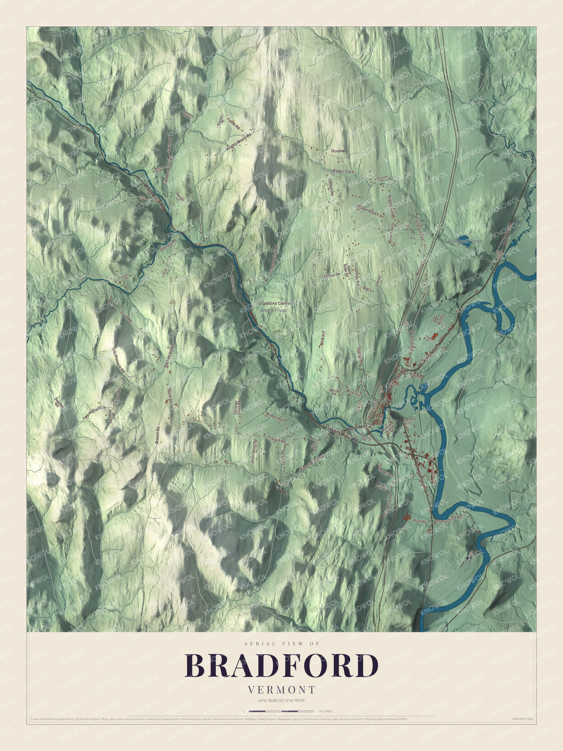
Click to explore a larger preview. The digital watermark does not appear on printed maps.
Names on this map
These names are printed on this map.
Places: Bradford Center, Blodgett Pond, Waits River and Goshen.
Streets and roads: Route 5 South, Lower Plain, North Main Street, Waits River Road, Fairground Road, Underwood Road, South Road, Goshen Road, Wrights Mount Road, Rowell Brook Road, Chase Hollow Road, Hackett Hill Road.
More street names, A to Z
Apple Ridge Road, Appleton Road, Ash Street, Bigl Lane, Birch Ridge Drive, Bird Song Lane, Bolander Road, Branch Road, Carson Lane, Charlies Field Road, Chelsea Road, Cross Road, Darling Road, Deer Haven Road, Degoosh Hill, Depot Street, Durant Road, Dwinell Lane, Erwin Road, Farr Lane, Flanders Brook Road, Fulton Road, Goshen Road East, High Street, Industrial Drive, Iras Pinnacle Road, Jacob Lane, Kenyon Road, Kidder Road, Lake Morey Road, Larry's Lane, Lawson Lane, Main Street, Mill Street, Mink Hill, Moore Lane, Ogorman Road, Old Post Road, Old Route 5, Old Stage Coach Road, Oxbow Drive, Plateau Acres, Pratt Road, Rabbit Track, Rogers Hill Road, Sand Hill Road, South Main Street, Stevens Hill Road, Summer Street, Taplin Hill Road, Tarbox Road, Town Farm Road, Twp Highway 28, Wayne Hill Road, Werner Road.
See it on a wall
The Bradford map as a framed print. Swipe for more.


From the village to Goshen
The Bradford Village Historic District, listed in 1975 with 81 buildings, takes in North Main Street. Its Old Church dates from 1793 to 1795, the former Bliss Hotel from 1806 and the Methodist Church from 1849. The Bradford Academy building, put up in 1893 with an addition in 1935, now houses the town offices, the police and the historical society. Waits River Falls, also called Bradford Falls, spills over a rocky cascade beside Route 5 next to Boch Park, and the river, 24.5 miles long and once called Ma-houn-quam-mas-see, meets the Connecticut at the village. Route 25 crosses the Connecticut on the Piermont Bridge, a steel truss span of 1928.
Up in the western hills, the Goshen Church stands on Goshen Road near the Newbury line. Bradford and Newbury families who had split from stricter Calvinist Baptist churches built it in 1834, and it has never had electricity; services are held there only in summer. Wright’s Mountain and the Devil’s Den Town Forest protect more than 500 acres with over 10 miles of trails. Bradford Center and Goshen, Blodgett Pond, Waits River Road, Fairground Road, Underwood Road and South Road are printed on the map too.
This map of Bradford earns its place in an office, library or den, and it can even help teach children the geography and history of a river town on the Connecticut. It’s made for everyone who calls Bradford home and shows the town as it looks today, from the falls to Goshen. KNOWOL created it in 2026, and it’s printed on museum quality archival paper. Zoom in on the preview above to explore the details, then click here to get your copy of the Bradford, Vermont map.

Sources