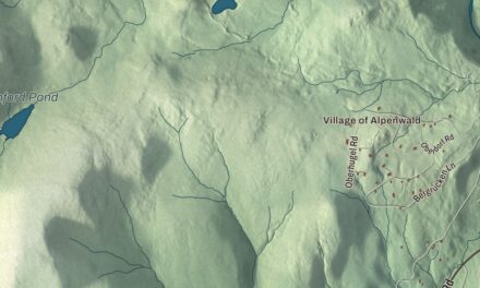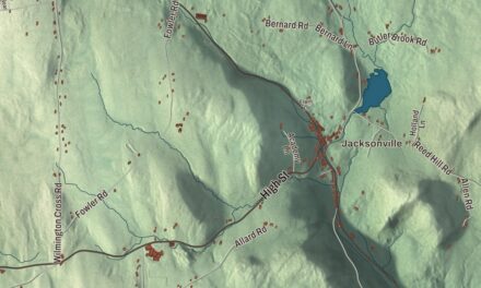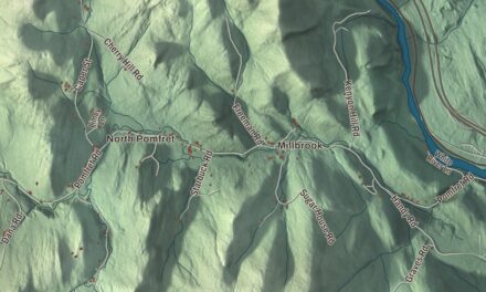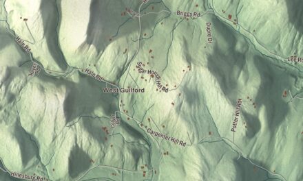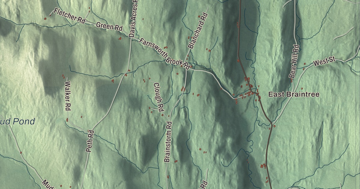
Up on Braintree Hill, the old meetinghouse holds the town’s historical museum, and Peth Road leads out to Peth and Mud Pond. This map prints East Braintree and Peth, Braintree Hill and West Braintree, Mud Pond, and Braintree Hill Road, Thayer Brook Road, Riford Brook Road, Bover Road, Davis Acres Road and Duclos Road.
Braintree is in Orange County, in the hills of central Vermont.
KNOWOL made this map in 2026 from public survey data and gave it the look of an old atlas. The shaded terrain comes from United States Geological Survey elevation data, and almost none of the town is water, about 0.04 of a square mile. The roads and the town line come from the Census Bureau. Braintree covers 38.3 square miles, and it had 1,207 people at the 2020 census. Click here to purchase a print of this map for your wall.
Two sets of petitioners
In 1779 two groups asked Vermont for the grant of Braintree. One had also petitioned for Roxbury and Northfield and was thought to be made up of land speculators. The other asked only for Braintree, and its petition was approved in November 1780. Governor Thomas Chittenden signed and sealed the charter on August 1, 1781, and nearly all of the original proprietors came from Braintree, Massachusetts.
The town’s places carry their own history. Braintree takes in Braintree Center, Braintree Hill, East Braintree, West Braintree, Peth and Snowsville, and residents know a few more, such as Lost Nation and Quaker Hill. Snowsville is named for Jeremiah Snow, but Happy Vermont reports that the origin of the name Peth remains a mystery. “Place names are a real part of the history of any town,” Jackson Evans, president of the Braintree Historical Society, told the Happy Vermont podcast.
Braintree’s sons
Francis V. Randall, born here in 1824, commanded the 13th Vermont Infantry at Gettysburg. On July 2, 1863, General Winfield Scott Hancock asked whether he could retake a Union battery the Confederates had captured; the danger was so great that Hancock wouldn’t order it, but Randall volunteered, and his regiment’s charge surprised the Confederates into surrendering. His brother Gurdon P. Randall, born in Braintree in 1821, became an architect in Vermont and then in Chicago, where he designed University Hall at Northwestern University. Eleazer Parmly, born here in 1797, became a New York dentist and the first provost of the first dental school in the United States, at the University of Maryland, and Jefferson P. Kidder, born in Braintree in 1815, practiced law in town, served as Vermont’s lieutenant governor, and later represented Dakota Territory in Congress as its delegate.
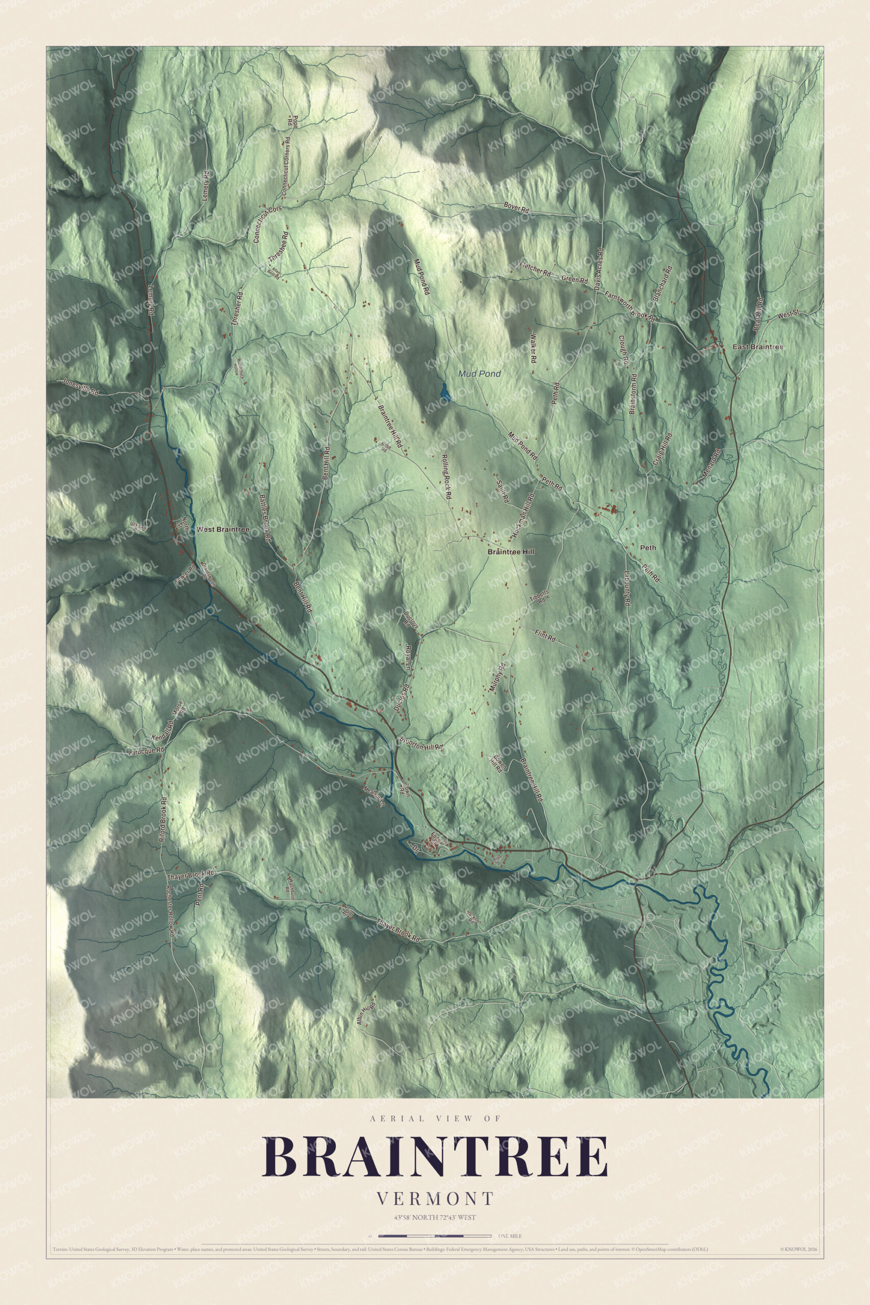
Click to explore a larger preview. The digital watermark does not appear on printed maps.
Names on this map
These names are printed on this map.
Places: East Braintree, Peth, Mud Pond, Braintree Hill and West Braintree.
Streets and roads: Bover Road, Davis Acres Road, Thayer Brook Road, Duclos Road, Braintree Hill Road, Riford Brook Road, Thresher Road, Peth Road, Bent Hill Road, Mud Pond Road, Brainstorm Road, Lemery Road.
More street names, A to Z
Albin Hill Road, Allen Bent Road, Allen Drive, Battles Brook Road, Bear Hill Road, Blanchard Road, Bowen Hill Road, Bruorton Hill Road, Clough Road, Connecticut Corners Road, Connecticut Cors, Craig Hill Road, Drive, Duclous Road, Farnsworth Brook Road, Fletcher Road, Flint Road, Fogey Street, Fowler Road, Grantsworth Road, Green Road, Haupt Road, Hockman Hill Road, Jackson Road, Jonesville Road, Kendall Road, Labounty Road, Larocque Road, Meadow Lane, Menard Road, Morse Road, Murphy Road, North Street, Pent Road, Pope Road, Rochester Hollow Road, Rolling Rock Road, Rose Road, Royal Lane, Sault Road, Threshee Road, Tibbetts Road, Town Road, Unkown Road, Walker Road, Washburn Road, West Street, Woodchuck Hollow.
See it on a wall
The Braintree map as a framed print. Swipe for more.


Hill, hollows and Peth
The Braintree Hill Meeting House is home to the Braintree Historical Society’s museum. Peth Road runs to Peth and Mud Pond, both of which Happy Vermont lists among the town’s unofficial place names. East Braintree, West Braintree, Braintree Hill Road, Thayer Brook Road, Riford Brook Road, Bover Road, Davis Acres Road and Duclos Road are all printed on the map.
This map of Braintree makes a fitting addition to an office, library or den, and it can even help teach children the geography and history of a hill town in central Vermont. It’s made for everyone who calls Braintree home and shows the town as it looks today, from Braintree Hill to Mud Pond. KNOWOL created it in 2026, and it’s printed on museum quality archival paper. Zoom in on the preview above to explore the details, then click here to get your copy of the Braintree, Vermont map.

Sources