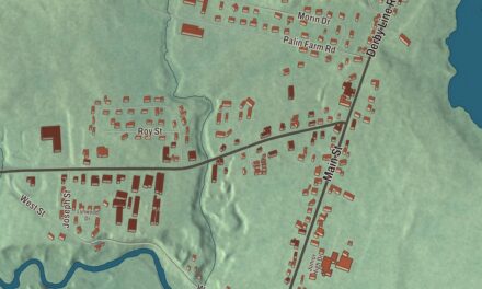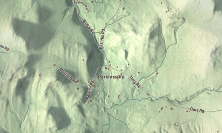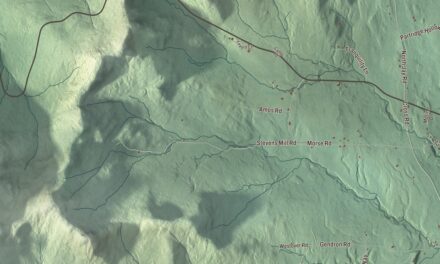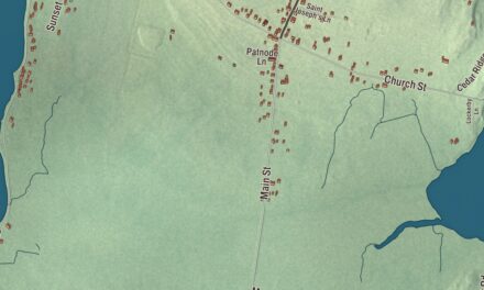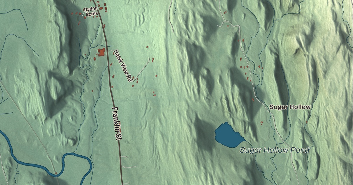
Brandon’s Park Street is broad and tree-shaded, with deep front yards, because it was laid out for militia training. This map prints Park Street with Grove Street, Franklin Street, Champlain Street and North Street, Forest Dale Road out to Forest Dale, and Sugar Hollow and Mount Pleasant, with Sugar Hollow Pond, Jones Mill Pond, Burnell Pond and Spring Pond.
Brandon is in Rutland County, with Otter Creek running through it.
KNOWOL made this map in 2026 from public survey data and gave it the look of an old atlas. The shaded terrain comes from United States Geological Survey elevation data. The town’s page describes good farmland along the rivers and plenty of timber and minerals. The streets and the town line come from the Census Bureau. Brandon covers 40.2 square miles, and it had 4,129 people at the 2020 census. Click here to purchase a print of this map for your wall.
Neshobe becomes Brandon
The town was chartered as Neshobe on October 20, 1761, to Captain Josiah Powers, and the first settlers who came in the mid-1770s founded a village by that name. The legislature changed the name to Brandon in October 1784. The old Crown Point military road came through the town on its way from the Atlantic coast to Lake Champlain. Through the 1800s Brandon flourished on water power, iron ore and marble, and after the railroad arrived in 1849 it could make and ship iron goods such as the Howe scale, along with Brandon paints, wood products and marble.
That century of growth gave Brandon Village its own plan: commercial streets at the center, greens lined with houses, and roads leading out to farms, mines and quarries. Pearl and Park streets were laid out wide enough for militia training, which left them broad and tree-shaded with deep front yards. The whole historic core of the village, 243 buildings, is listed on the National Register of Historic Places.
A statesman and an inventor
Stephen A. Douglas was born in Brandon on April 23, 1813, and spent part of his boyhood on a farm three miles north of the village. He went west to Illinois in 1833, became the Democratic senator known as the “Little Giant,” and beat Abraham Lincoln for his Senate seat in 1858, the campaign of the Lincoln-Douglas debates. His birthplace is now the Brandon Museum and the town’s visitor center. Thomas Davenport, a blacksmith, lived in Forest Dale, and with his wife Emily he built the first American DC electric motor in 1834, using silk from her wedding gown to wrap the wiring. In 1837 Davenport, Emily and Orange Smalley received the first American patent on an electric machine.
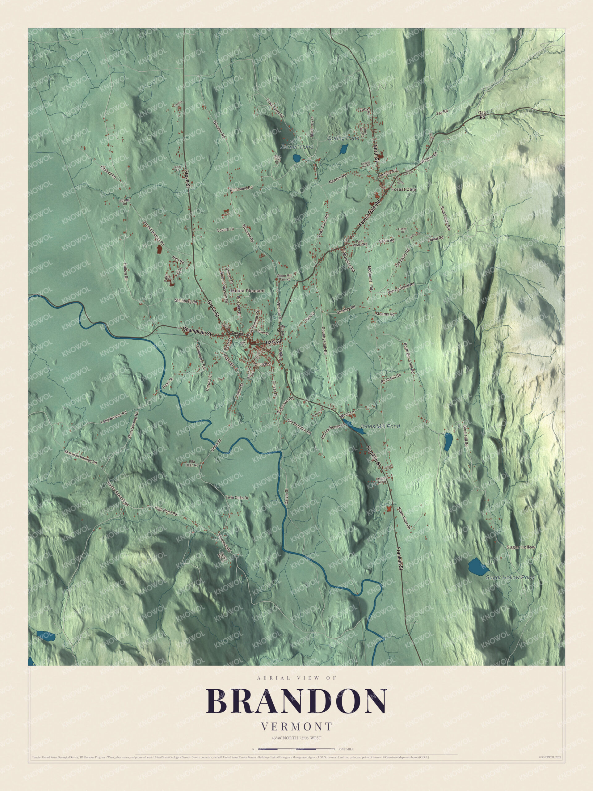
Click to explore a larger preview. The digital watermark does not appear on printed maps.
Names on this map
These names are printed on this map.
Places: Sugar Hollow, Forest Dale, Mount Pleasant, Sugar Hollow Pond, Jones Mill Pond, Burnell Pond and Spring Pond.
Streets and roads: Forest Dale Road, Park Street, Grove Street, Franklin Street, Champlain Street, North Street, West Seminary Street, Wheeler Road, Carver Street, Short Swamp Road, Pearl Street, Marshall Phillips Road.
More street names, A to Z
Adams Road, Arnold District Road, Barlow Avenue, Basin Road, Birch Hill Road, Blackberry Lane, Castle Hill Lane, Champear Road, Chapel Hill Road, Churchill Road, Church Street, Conant Square, Corona Street, Country Club Road, Deer Run Road, Duval Road, Ella Dean Road, Faive Circle, Farr Way, Fay Road, Florence Road, Fox Road, Frasier Road, Frog Hollow Road, Furnace Road, Gap Road, Hacks Sawmill Road, Hawk View Road, High Pond Road, High Street, Hollow Road, Humiston Drive, Jones Drive, Kennedy Road, Kimball Road, Larch Lane, Lion Hill Drive, Long Swamp Road, Lovers Lane, Maple Street, Marble Street, McConnell Road, Mill Lane, Mount Pleasant Drive, New Road, Newton Road, Nickerson Road, North Birch Hill Road, Old Basin Road, Old Brandon Road, Old Ice House Lane, Paint Works Road, Prospect Street, Ray Forrest Road, Richmond Road, River Street, Rossiter Street, Rydon Acres, Slab Fence Road, Smalley Road, Stearns Road, Steinberg Road, Stone Mill Dam Road, Sunset Drive, Town Farm Road, Townline Drive, Triangle Court, Twin Oaks Drive, Union Street, Van Cortland Road, Wagner Road, Wood Lane, Wyman Road.
See it on a wall
The Brandon map as a framed print. Swipe for more.


From the village out to Forest Dale
About 1.3 miles west of the village center, Pearl Street crosses Otter Creek on the Sanderson Covered Bridge, a Town lattice truss built about 1840 and one of Vermont’s oldest covered bridges. It’s the only 19th century bridge left in Brandon. Forest Dale sits where Vermont Routes 53 and 73 meet, 15.5 miles north of Rutland, and from 1907 to 1914 Frederick J. Bacon built banjos there at his Bacon Manufacturing and Publishing Company.
Brandon kept going after its early industries faded, on dairying, stock breeding and tourism. Sugar Hollow, Mount Pleasant, Sugar Hollow Pond, Jones Mill Pond, Burnell Pond, Spring Pond, Grove Street, Franklin Street, Champlain Street and North Street are printed on the map as well.
This map of Brandon makes a fine addition to an office, library or den, and it can even help teach children the geography and history of a village whose whole historic core is on the National Register. It’s made for everyone who calls Brandon home and shows the town as it looks today, from Park Street to Forest Dale. KNOWOL created it in 2026, and it’s printed on museum quality archival paper. Zoom in on the preview above to explore the details, then click here to get your copy of the Brandon, Vermont map.

Sources