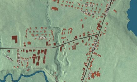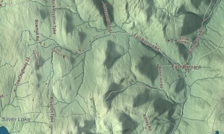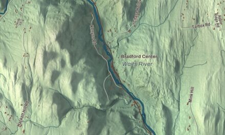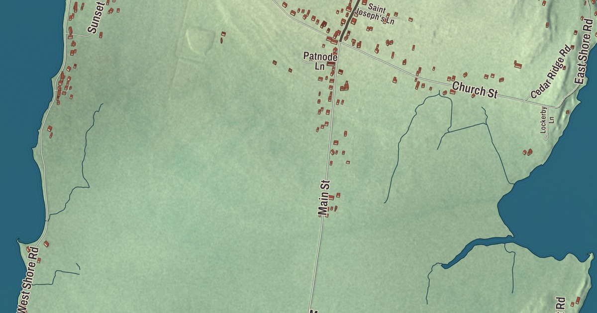
Isle La Motte is a whole town on one island in Lake Champlain, about 7 miles long and 2 miles wide. This map prints the roads people here drive every day: West Shore Road and East Shore Road, Main Street, Church Street, Quarry Road and Shrine Road.
Isle La Motte is a town in Grand Isle County, Vermont.
KNOWOL made this map in 2026 from public survey data and gave it the look of an old county atlas, shading the hills from United States Geological Survey elevation data and drawing the roads and town line from the Census Bureau. The island itself is 7.9 square miles, and the lake water inside the town line adds 8.8 more, which makes more than half the town water. Click here to purchase a print of this map for your wall.
Fort Sainte Anne
Samuel de Champlain came ashore here on July 9, 1609. In 1666 a company of the French Carignan-Salières Regiment under Captain Pierre La Motte built a fort on the island to guard New France against the Iroquois, and the island still carries his name. They dedicated the fort and its chapel to Saint Anne. About 300 soldiers garrisoned Fort Sainte Anne over the next four years before the French pulled back to Quebec, and the town’s page calls the fort the first European settlement in what’s now Vermont. In 1668 the bishop of Quebec, François de Laval, came to the island to baptize a number of Iroquois.
Even after the fort was abandoned, Mass went on at the shrine. In 1892 the Bishop of Burlington, Louis de Goesbriand, bought the land to preserve it, and a small chapel went up. Saint Anne’s Shrine, on Shrine Road by the lake, is now run by the Edmundite Fathers with the Diocese of Burlington, and its page says it was the site of the first Catholic Mass celebrated in Vermont. A Way of Calvary marks where the fort stood, and the grounds, with a chapel, a grotto, gardens, a beach and a statue of Champlain, are open to the public all year.
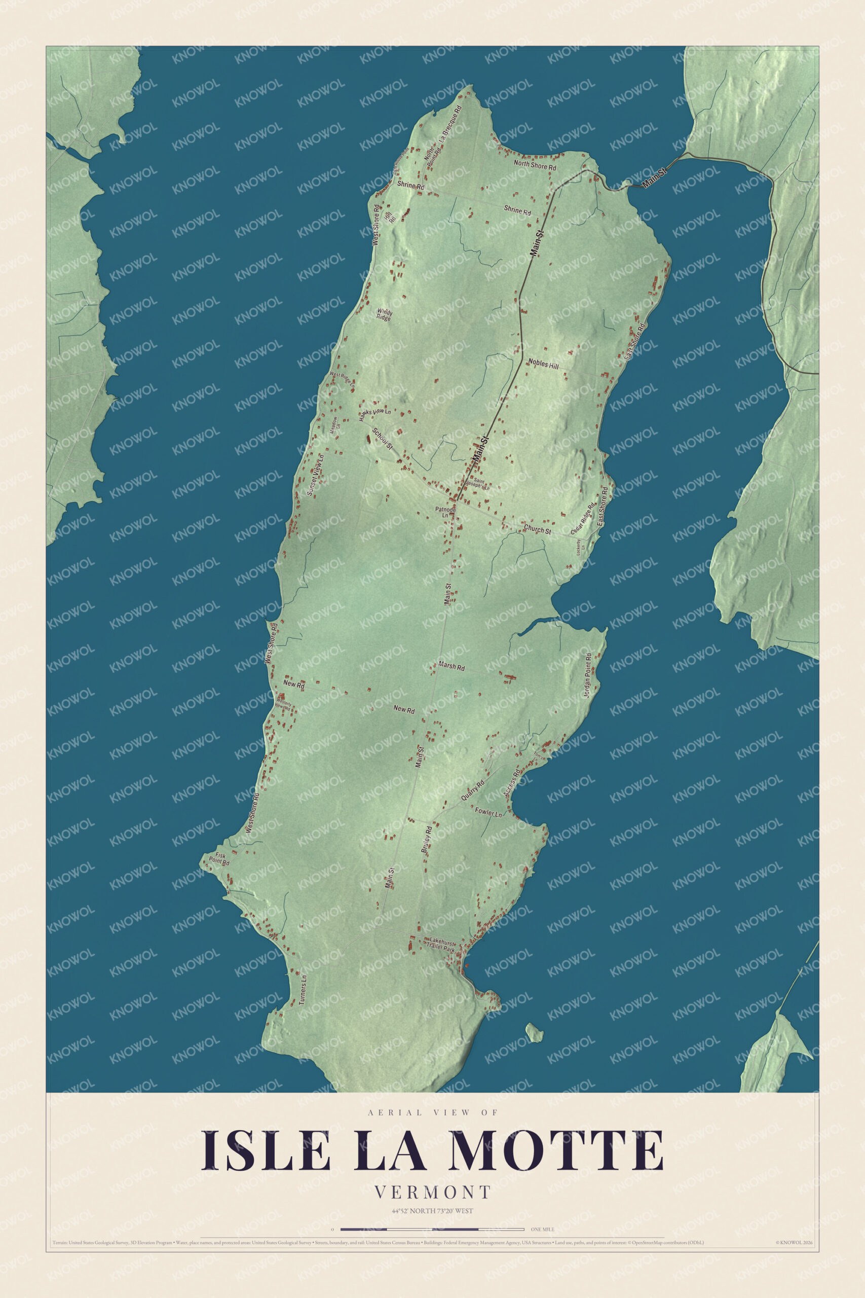
Click to explore a larger preview. The digital watermark does not appear on printed maps.
Names on this map
These names are printed on this map.
Places: Lakehurst Trailer Park.
Streets and roads: Main Street, Church Street, West Shore Road, East Shore Road, Quarry Road, Shrine Road, La Brecque Road, School Street, New Road, Bruley Road, Jordan Point Road, North Shore Road.
More street names, A to Z
Access Road, Cedar Ridge Road, Fisk Point Road, Fowler Lane, Hawks View Lane, Hill Road, Light House Point, Lockerby Lane, Marsh Road, Meadow Lane, Nobles Hill, North Point Road, Patnode Lane, Saint Joseph's Lane, Sunset View Lane, Tom's Lane, Turners Lane, Westerly Views Road, West Ridge Lane, Windy Ridge.
See it on a wall
The Isle La Motte map as a framed print. Swipe for more.


Black marble and old reefs
Vermont granted Isle La Motte on October 27, 1779, and it organized in 1791. In November 1802 the town was renamed Vineyard, and in November 1830 its old name came back. Orchards, vineyards and dairy farms did well here in the mid-1800s, when the island reached the mainland by ferry in summer and over the ice in winter. The first bridge, to Alburgh, was finished in 1882.
The island’s dark limestone, quarried from as early as 1832, was sold as “black marble,” and the town’s page says it went into the U.S. Capitol and the National Gallery of Art. The stone holds fossils of a reef that grew in a shallow tropical sea about 480 million years ago. Two island preserves, Fisk Quarry and Goodsell Ridge, are part of the Chazy Fossil Reef National Natural Landmark, dedicated in 2009, which its page calls the oldest known diverse fossil reef in the world. Fisk Quarry sits on West Shore Road, and both preserves are open to the public.
The stone buildings on Main Street
A Scottish stonemason named James Ritchie built several of the island’s stone buildings. In 1822 he built the Ira Hill House at 2304 Main Street for Ira Hill, a local businessman who ran a hotel and tavern there. In 1843 he built the Methodist Episcopal Church on Church Street, known locally as the Old Stone Church; its page calls it probably his finest work. Until 1892 its basement held town meetings and a school. Ritchie probably built the South Stone School House at Main Street and Quarry Road too, out of the island’s “black marble.” It was a district school until the 1930s, and since 1932 it has been the historical society’s home. All three are on the National Register.
The Fisk family ran a marble quarry on the island. Nelson W. Fisk, born on Isle La Motte in 1854, served as lieutenant governor of Vermont, and as a legislator he had a key role in building three Grand Isle bridges, including the first to the mainland at Alburg. President William McKinley spoke at Fisk Farm in 1897, and on September 6, 1901, Vice President Theodore Roosevelt was a guest at Fisk’s home when word came that McKinley had been shot. His wife, Elizabeth Hubbell Fisk, revived Colonial-era rug making and ran Elizabeth Fisk Looms, a weaving business for a small group of local women. The Chicago Art Institute awarded her a bronze medal.
On the map, follow West Shore Road and East Shore Road, then take Main Street, Church Street, Quarry Road and Shrine Road. Isle La Motte dates to 1779.
This map of Isle La Motte is made for everyone who calls Isle La Motte home, and it shows the town as it looks today, from Shrine Road to Quarry Road. Hang it in an office, library or den, or use it to teach children the geography and history of their town. It’s printed on museum quality archival paper. Zoom in on the preview above to explore the details, then click here to get your copy of the Isle La Motte, Vermont map.

Sources
- Isle La Motte, Wikipedia
- Town histories and representatives, I towns, Vermont Legislature
- Pierre La Motte, Wikipedia
- Fort Sainte Anne (Vermont), Wikipedia
- Saint Anne’s Shrine, Wikipedia
- Chazy Fossil Reef, Wikipedia
- Ira Hill House, Wikipedia
- Methodist Episcopal Church of Isle La Motte, Wikipedia
- South Stone School House, Wikipedia
- Nelson W. Fisk, Wikipedia
- Elizabeth Hubbell Fisk, Wikipedia