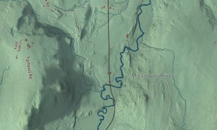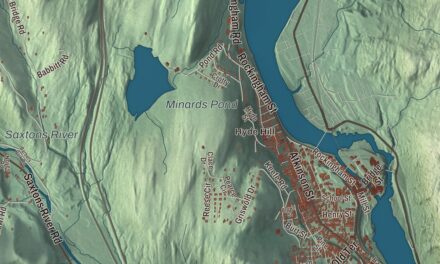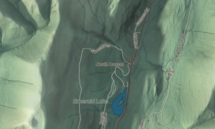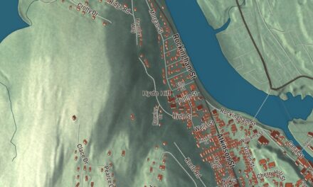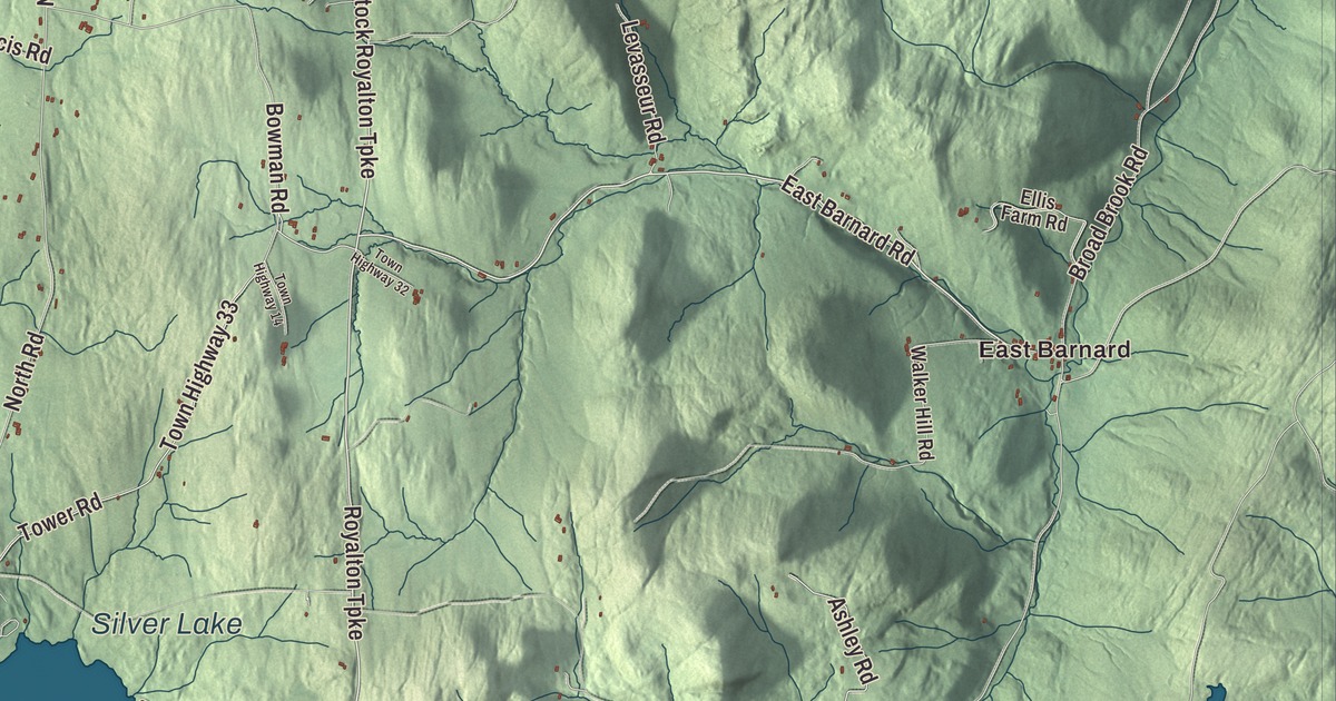
Barnard village sits at the outlet of Silver Lake, and East Barnard is the town’s other village. This map prints Silver Lake, East Barnard and Morgan Corners, Lakota Lake and Line Pond, with Stage Road, East Barnard Road, Lime Pond Road, West Road, the Royalton Turnpike and the Woodstock Royalton Turnpike.
Barnard is in Windsor County.
KNOWOL made this map in 2026 from public survey data and gave it the look of an old atlas. The shaded terrain comes from United States Geological Survey elevation data, and the roads and the town line come from the Census Bureau. Barnard covers 48.9 square miles, and it had 992 people at the 2020 census. Click here to purchase a print of this map for your wall.
Bernard, then Barnard
The town was chartered on July 17, 1761, as a New Hampshire grant, and named “Bernard” for one of its five grantees, Sir Francis Bernard, governor of the Province of Massachusetts Bay from 1760 to 1769. Some time before 1810 the name was changed to Barnard. Today the town holds two villages, Barnard and East Barnard, and the hamlets of Newcombsville, Mountain Meadows and Fort Defiance. The Universalist minister Hosea Ballou preached at Barnard and the towns around it from 1801 to 1807, before going on to Portsmouth, Salem and Boston.
The lake has had three names. It was first Stebbings’ Pond, for Benjamin Stebbings, who owned the land at the outlet where the village now stands, then Barnard Pond, and in 1869 it became Silver Lake. In 1955, John McDill of Woodstock, Margaret Crosby of Barnard and Richard H. Field of Boston gave the state land along the shore, and Silver Lake State Park now takes in 35 acres on the north shore of the 84-acre lake, with swimming, picnic areas and camping. Barnard Academy, the town’s public elementary school, is on Route 12.
Writers at Twin Farms
In 1928, the novelist Sinclair Lewis bought the Connett Place and the neighboring Chase Farm, about 300 acres in all, named the property Twin Farms, and used it as a vacation home through the 1930s and 1940s with his wife, the journalist Dorothy Thompson. Two years after buying it, Lewis became the first American author to win the Nobel Prize in Literature. Thompson was the first American journalist expelled from Nazi Germany, in 1934, and she’s buried in the town cemetery in Barnard.
Thompson also helped the German playwright Carl Zuckmayer, a refugee from the Nazis, get into the United States. In 1941 he rented Backwoods Farm in Barnard, with its farmhouse from 1783 and 180 acres, for 50 dollars a month, and he worked it as a farmer until 1946. There he wrote his play The Devil’s General, and he told the story of those years in his autobiography, A Part of Myself; his wife, Alice Herdan-Zuckmayer, wrote her own memoir of Barnard, The Farm in the Green Mountains.
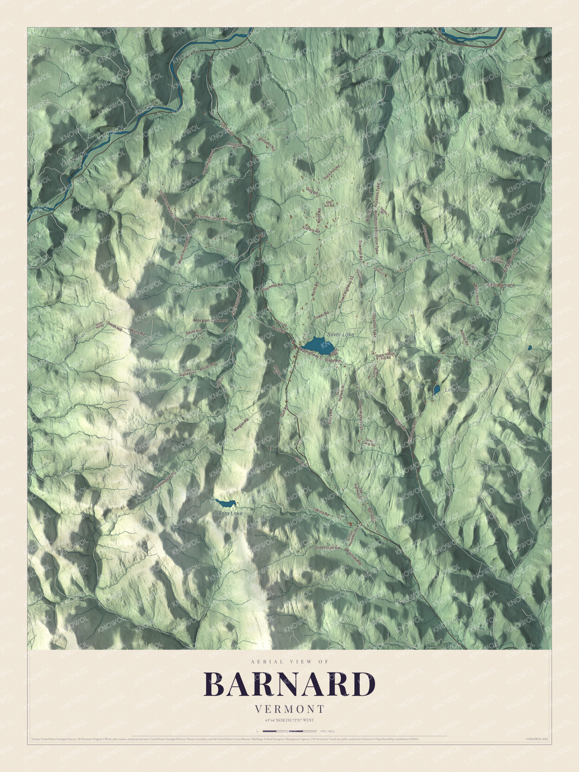
Click to explore a larger preview. The digital watermark does not appear on printed maps.
Names on this map
These names are printed on this map.
Places: East Barnard, Morgan Corners, Silver Lake, Lakota Lake and Line Pond.
Streets and roads: Stage Road, Twp Highway 1, East Barnard Road, Royalton Turnpike, Woodstock Royalton Turnpike, Town Highway 57, Lime Pond Road, West Road, Bowman Road, Town Highway 33, Chateauguay Road, Mount Hunger Road.
More street names, A to Z
Ashley Road, Bennett Road, Blackmer Road, Broad Brook Road, Cottage Road, Daniels Road, Davis Road, Ellis Farm Road, Fort Defiance Hill, Francis Road, Gills Road, Gray Camp Road, Green Gate Road, Grove Road, Gulf Road, Lakota Road, Levasseur Road, Maple Lane, Masterson Road, Morgan Road, North Road, Old Hill Road, Old Mount Hunger Road, Old Route 12, Perry Road, Porter Road, Rhoades Hill, School House Hill Road, Smith Hill, Smith Hill Road, Stack Pole Road, Sugar House Hill Road, Tower Road, Town Highway 8, Town Highway 14, Town Highway 32, Town Highway 43, Town Highway 46, Twp Highway 56, Walker Hill Road, Watts Road, Wayside Road.
See it on a wall
The Barnard map as a framed print. Swipe for more.


Turnpikes and ponds
The Royalton Turnpike and the Woodstock Royalton Turnpike are both printed on the map, and so are Stage Road and East Barnard Road. Lakota Lake and Line Pond are printed as well, along with Morgan Corners, Lime Pond Road and West Road. The town’s list of notable people includes Asa Aikens, a justice of the Vermont Supreme Court, and the newspaper editor Andrew J. Aikens.
This Barnard map is a handsome addition to an office, library or den, and it can even help teach children the geography and history of a lake town where well-known writers made their homes. It’s made for anyone who calls Barnard home, from Silver Lake to East Barnard. KNOWOL created it in 2026, and it’s printed on museum quality archival paper. Zoom in on the preview above to explore the details, then click here to get your copy of the Barnard, Vermont map.

Sources