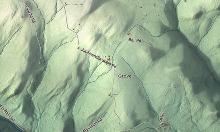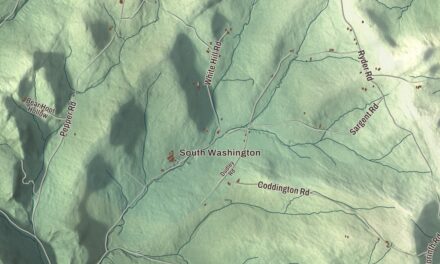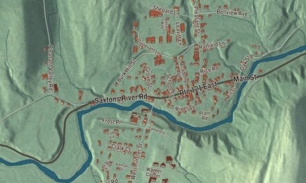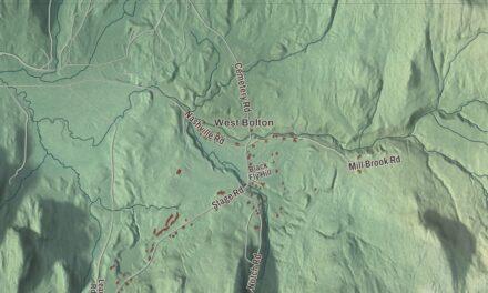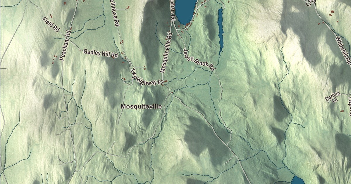
Barnet is a town of six villages and hamlets, from McIndoe Falls to Mosquitoville. This map prints four of them, Passumpsic, West Barnet, Mosquitoville and East Barnet Inwood Station, along with Harvey Lake and Wardens Pond, and Keyser Hill Road, Chamberlain Road, West Main Street, West Barnet Road, Roy Mountain Road and Somerhill Road.
Barnet is in Caledonia County, with the Connecticut River and New Hampshire along its eastern side.
KNOWOL made this map in 2026 from public survey data and gave it the look of an old atlas. The shaded terrain comes from United States Geological Survey elevation data, and the highest point is Roy Mountain, 2,103 feet, in the south of town east of Harvey Lake. The roads and the town line come from the Census Bureau. Barnet covers 43.6 square miles, and it had 1,663 people at the 2020 census, 127 of them in the main village. Click here to purchase a print of this map for your wall.
Scots on the Connecticut
Barnet took its name from Barnet, England, and received its charter from Governor Benning Wentworth of New Hampshire on September 16, 1763. The first settlers of European descent to stay were the brothers Daniel, Jacob and Elijah Hall and Jonathan Fowler, who built along the Connecticut River and north toward McIndoe Falls, and the town’s page says Elijah Hall built the first house in Caledonia County, near the foot of Stevens Falls. Colonel Alexander Harvey came from Dundee, Scotland, on behalf of Scots looking for new land in the colonies. When the Revolution cut him off from almost all of them, he stayed anyway, claiming 7,000 acres and the lake that now carries his name. On January 24, 1784, the town voted unanimously to make the Presbyterian denomination its official one, as practiced by the Church of Scotland.
Five villages grew up in the town: Barnet village, once called Stevens Village, at the falls; McIndoe Falls, near the southeast corner; Passumpsic, once Kendall’s Mills, in the northeast, spreading into Waterford; East Barnet, named Norrisville in 1875, near the mouth of the Passumpsic River; and West Barnet, at the outlet of Harvey Lake on the road to Peacham. Mosquitoville, south of the lake, and Barnet Center came later. The Passumpsic Calvinistic Baptist church was formed in 1812, its village chosen for its central location, and the First Congregational Church of Barnet’s present building dates from 1854.
Governors, a lake and a diver
The town’s page counts two Vermont governors from Barnet: Erastus Fairbanks, who served in 1852 and 1853 and again in 1860 and 1861, and his son Horace Fairbanks, governor from 1876 to 1878, who was born in Barnet. The family moved on to neighboring St. Johnsbury, where, the page says, they made the first platform scale. Anne Morrow Lindbergh, the author and aviator, spent her last years in a small house on her daughter Reeve’s farm in Passumpsic. In 1970, Chögyam Trungpa Rinpoche founded a meditation center on a former dairy farm in Barnet, first called Tail of the Tiger and, from 1974, Karmê Chöling; it was his first teaching seat in North America, and it still holds programs on 717 wooded acres.
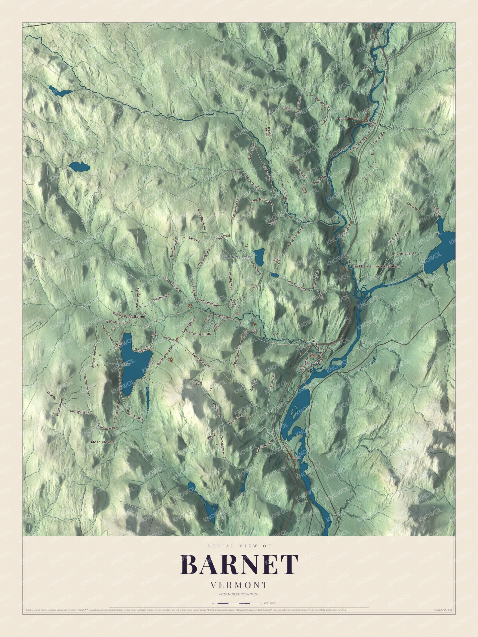
Click to explore a larger preview. The digital watermark does not appear on printed maps.
Names on this map
These names are printed on this map.
Places: Mosquitoville, Harvey Lake, Wardens Pond, East Barnet Inwood Station, Passumpsic and West Barnet.
Streets and roads: Kitchel Hill, Keyser Hill Road, Chamberlain Road, West Main Street, West Barnet Road, Roy Mountain Road, Somerhill Road, Twp Highway 6, Twp Highway 51, Schoolhouse Road, Twp Highway 81, Morrison Hill.
More street names, A to Z
Aiken Farm Road, Anderson Street, Bailey Circle, Barnet Center Road, Bimson Drive, Blaine Drive, Bogie Lane, Bony Woods Road, Bridge Street, Brook Hill Road, Bunker Hill, Bunnell Lane, Carter Street, Church Street, Cloud Brook Road, Comerford Dam Road, County Hill Road, Darling Lane, Davidson Lane, Demaio Lane, Denio Road, East Peacham Road, Farrow Farm Road, Ferguson Road, Field Road, Gadley Hill Road, Garland Hill, Gates Lane, Gilmour Lane, Goss Hill Road, Harvey Mountain Road, Jewett Brook Road, Joes Brook Road, Keenan Road, Kid Row, Kitchell Hill, Knights Lane, Laird Road, Lester Lane, Little France Road, Little Scotland Road, McLaren Hill Road, Monroe Road, Morses Mill Road, Mosquitoville Road, Nutter Lane, Old Silo Road, Old West Road, Peacham Road, Pearlmont Road, Rake Factory Road, Rockledge Lane, Shoreline Drive, Slayton Lane, Stevenson Road, Strobridge Hill, Symns Pond Road, Thistle Hill Lane, Tower Road, Town Forest Road, Town Road 37, Town Road 65, Tripp Lane, Twp Highway 33, Twp Highway 48, Twp Highway 63, Twp Highway 79, Twp Highway 87, Valley View Road, Warden Road, Whitehill Road, Wild Leek Lane.
See it on a wall
The Barnet map as a framed print. Swipe for more.


Around Harvey Lake
Harvey Lake, as the federal government spells it, is Harvey’s Lake to most people in town. It lies in the western part of Barnet, with West Barnet at its north end by the outlet, where a town-owned dam holds the water back, and Mosquitoville to the south. Harvey’s Lake Park, with public beaches and picnic areas, and a private campground take up the north end. In the early 1920s, a boy at summer camp on the lake named Jacques Cousteau experimented with staying underwater by breathing through hollow reeds from the shallows, though he couldn’t yet swim well. He grew up to be the ocean explorer who helped invent scuba.
On the other side of town, the Passumpsic River runs south past Passumpsic village and joins the Connecticut at East Barnet. Interstate 91 crosses Barnet from north to south, with its exit at West Barnet Road, and U.S. Route 5 runs alongside it through the town center. Wardens Pond, Keyser Hill Road, Chamberlain Road, West Main Street, Roy Mountain Road and Somerhill Road are printed on the map as well.
This Barnet map is a handsome addition to an office, library or den, and it can even help teach children the geography and history of a river town with Scottish roots. It’s made for anyone who calls Barnet home, from Passumpsic to Harvey’s Lake. KNOWOL created it in 2026, and it’s printed on museum quality archival paper. Zoom in on the preview above to explore the details, then click here to get your copy of the Barnet, Vermont map.

Sources