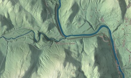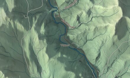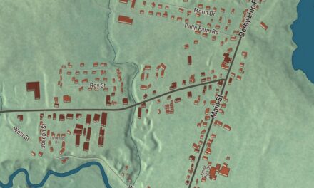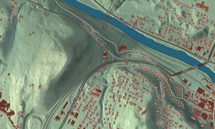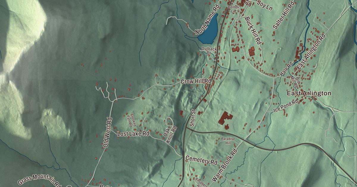
The Batten Kill, famous for its trout, flows through the center of Arlington. This map prints East Arlington and West Arlington and Millers Pond, with Batten Kill Road, River Road, East Arlington Road, Chunks Brook Road, Tory Lane and Blackhole Hollow Road crossing the town.
Arlington is in Bennington County, in the Valley of Vermont between the Taconic Range and the Green Mountains.
KNOWOL made this map in 2026 from public survey data and gave it the look of an old atlas. The shaded terrain comes from United States Geological Survey elevation data, and most of the town’s land lies in the Taconic Range, where five prominent peaks rise: Grass Mountain, the highest at 3,109 feet, Spruce Peak, The Ball, which some call West Mountain, Red Mountain and Big Spruce Mountain. The roads and the town line come from the Census Bureau. Arlington covers 42.4 square miles, and it had 2,457 people at the 2020 census. Click here to purchase a print of this map for your wall.
Green Mountain Boys and a first capital
New Hampshire’s governor, Benning Wentworth, chartered Arlington on July 28, 1761, as one of the New Hampshire Grants. Among the first settlers were Captain Jehiel Hawley and his family, there by 1764, and most of the early families were Anglicans from Roxbury, Newtown and Milford, Connecticut. In 1764 the proprietors offered 50 acres to anyone who would build a gristmill in what’s now East Arlington, and Remember Baker, a first cousin of Ethan Allen, took them up on it and built a grist and saw mill. Baker also became the town’s first clerk. His page says the first mill burned in 1789 and that the mill built in its place in the 1790s still stands.
When New York began granting the same land in 1765, Arlington’s settlers, who held their titles from New Hampshire, leaned on Ethan Allen and the Green Mountain Boys to turn the New York claimants away. Several of the Green Mountain Boys lived in Arlington before the Revolution, among them Thomas Chittenden, Seth Warner and Baker. The town’s page says Arlington became the first capital of the Vermont Republic in 1777, and Chittenden became the republic’s first governor the next year, and served again from 1790 until his death in 1797, through Vermont’s admission to the Union in 1791. Not every neighbor took the same side. Arlington’s Loyalists, led by Dr. Samuel Adams, formed Adams’ Rangers and fought for General Burgoyne in 1777, and lost at Saratoga.
Rockwell’s neighbors
Norman Rockwell moved to Arlington in 1939, and his page says his work began to reflect small-town life there; he and his family stayed until 1953. The town’s list of notable people also names the magazine illustrator Mead Schaeffer and the composer and painter Carl Ruggles, whose page says he spent his later years in a converted one-room school in Vermont. The same list includes Dorothy Canfield Fisher, the educator and author it credits with bringing the Montessori method to the United States; her own page says she translated Montessori’s book into English after visiting the children’s houses in Rome in 1911. Don Trachte, who drew the comic strip Henry, and Gideon Hard, a congressman from New York who was born in Arlington, are on the same list.
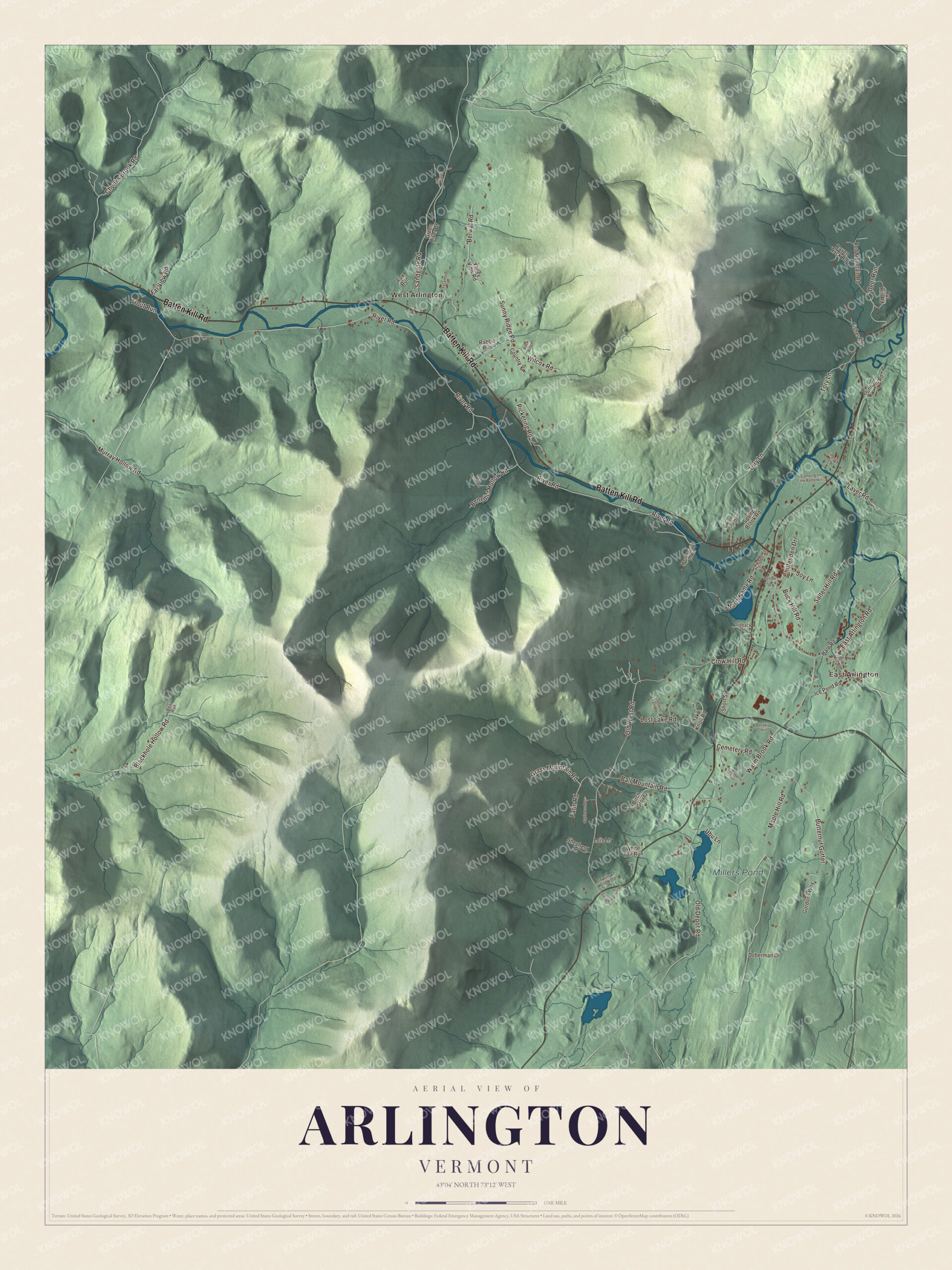
Click to explore a larger preview. The digital watermark does not appear on printed maps.
Names on this map
These names are printed on this map.
Places: East Arlington, West Arlington and Millers Pond.
Streets and roads: Batten Kill Road, Chunks Brook Road, Tory Lane, River Road, East Arlington Road, Blackhole Hollow Road, Maple Hill Road, Old West Road, Warm Brook Road, Sandgate Road, Ubu Lane, Berwal Road.
More street names, A to Z
Applewood Drive, Ball Mountain Road, Bear Run, Benedict Hollow Road, Birch Grove, Buck Hill Road, Butternut Gutter, Camping on the Battenkill, Cemetery Road, Center Lane, Chittenden Drive, Country Vw, Crooked Path Road, Crow Hill Road, Deer Run, Doberman Drive, Dunham Road, Farm Road, Far View Road, Fisher Road, Fox Run, Gingerbread Hill Road, Gordons Way, Grass Mountain Road, Green River Drive, Hale Road, High Pine Drive, Ice Pond Road, Joy Lane, Laver Road, Limerick Lane, Lois Lane, Lost Lake Road, Murray Hollow Road, North Name Road, Oak Knoll Road, Old Depot Road, Old Mill Road, Outback Drive, Paradise Hill, Pickering Road, Pvt Hill Road, Rabbit Run, Raspberry Hill, Raven Rock Road, Red Mountain Road, Red Ocher Road, Rock Ridge, Salter Hill Road, School Street, Shamrock Hill, Shepherd Lane, Short Street, Spring Brook Road, Sunny Ridge Road, Sycamore Lane, Trout Run, Twenty Acre Wood, Valley View Road, West Mountain Inn Road, White Tail Run, Wilcox Road.
See it on a wall
The Arlington map as a framed print. Swipe for more.


Along the Batten Kill
The Batten Kill rises in East Dorset, flows southwest to Arlington, and then turns west through the center of town toward New York and the Hudson. At West Arlington, the Arlington Green Covered Bridge carries Covered Bridge Road across the river just south of Route 313. It’s a single 80-foot span of Town lattice truss, built in 1852, one lane wide, and its page counts it among the state’s oldest surviving covered bridges, with none of the 20th-century strengthening added to so many others. It was listed on the National Register of Historic Places in 1973, and after Hurricane Irene damaged it in 2011, it was repaired and reopened within months.
Batten Kill Road, River Road, East Arlington Road, Chunks Brook Road, Tory Lane and Blackhole Hollow Road are printed on the map, along with Millers Pond. Arlington Memorial School, in town, is a high school with some 250 students.
This Arlington map is a handsome addition to an office, library or den, and it can even help teach children the geography and history of a town where Green Mountain Boys made their homes. It’s made for anyone who calls Arlington home, from East Arlington to the covered bridge at West Arlington. KNOWOL created it in 2026, and it’s printed on museum quality archival paper. Zoom in on the preview above to explore the details, then click here to get your copy of the Arlington, Vermont map.

Sources