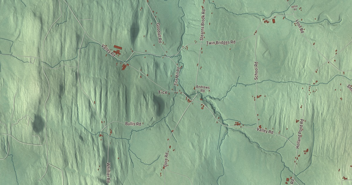
Holland is the highest town in Orleans County, and it lies close to the Canadian border. This map prints Gore Road, Mead Hill Road, Lyon Road, Valley Road, Holland Pond Road and Trucott Road, with Tice and the waters of Holland Pond, Beaver Pond, Turtle Pond and Round Pond.
Holland is a town in Orleans County, Vermont.
KNOWOL made this map in 2026 from public survey data and gave it the look of an old county atlas, shading the hills from United States Geological Survey elevation data and drawing the roads and town line from the Census Bureau. Holland covers 38.2 square miles, and 632 people lived here at the 2020 census. Click here to purchase a print of this map for your wall.
Laid out in quarter sections
Vermont granted Holland on March 8, 1787, and chartered it on October 26, 1789. The town takes its name from Holland, and it was laid out in quarter sections, with about a quarter of a square mile, or 160 acres, for each grantee. The town didn’t organize until March 14, 1805, and Eber Robinson went to the legislature as its first representative the next year. The town page names three villages, Holland Center, Holland Pond and Tice Hollow, and it says Holland has had the coolest weather and the most snow in the county, perhaps because of its height. The building code here requires roofs that can carry 50 pounds of snow per square foot.
On Gore Road, between Bullis Road and Stagecoach Lane, stands the Holland Congregational Church, also called the West Holland Church. Its frame went up in 1844, but the building wasn’t finished until ten years later. A congregation used it until 1954, and when the town’s population fell, people who wanted to save it formed a local historical society, which took ownership in 1973. It’s the only 19th-century public building left in Holland, and the society keeps it as a meeting space and a local history museum.
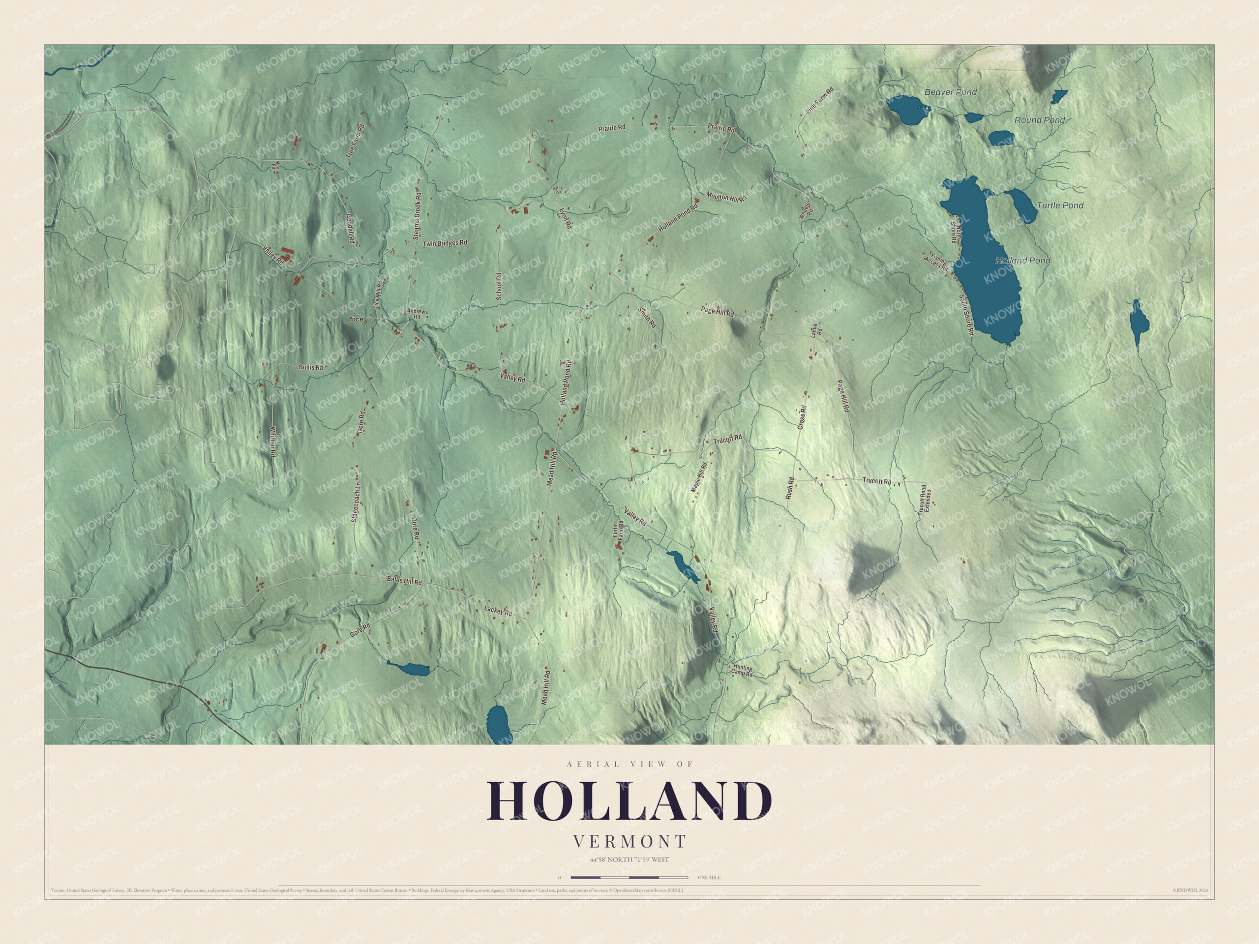
Click to explore a larger preview. The digital watermark does not appear on printed maps.
Names on this map
These names are printed on this map.
Places: Tice, Holland Pond, Beaver Pond, Turtle Pond and Round Pond.
Streets and roads: Mead Hill Road, Gore Road, Lyon Road, Valley Road, Holland Pond Road, Trucott Road, Page Hill Road, Stearns Brook Road, Twin Bridges Road, School Road, Bates Hill Road, Prairie Road.
More street names, A to Z
Andrews Road, Bullis Road, Cross Road, Fishing Access Road, Fortin Farm Road, Goodall Road, Hunting Camp Road, Lackey Road, Lafoe Road, Lahue Road, Line Farm Road, Maple Hill Road, Moon Road, Moulton Hill Road, North Shore Road, Rush Road, Smith Road, South Shore Road, Stagecoach Lane, Tice Mill Road, Tree Farm Road, Trucott Road Extended, Wheeler Road, Whittier Road.
See it on a wall
The Holland map as a framed print. Swipe for more.


Three who went far
Part of Holland, Holland Pond and Beaver Pond among it, drains to the Tomifobia River in Quebec, the main source of Lake Massawippi. Three people born in Holland made their names far from home. William S. Ladd, born here in 1826, sailed to Portland, Oregon, in 1851, put up the city’s first brick building in 1853, co-founded the first bank in Oregon in 1859 and twice served as Portland’s mayor. Horace Tabor, born in Holland in 1830, became a prospector, businessman and politician. And Lucy Mabel Hall, born in Holland in 1843, became a physician, was the first woman admitted to the clinics at St Thomas’ Hospital in London, and later taught physiology and hygiene and served as a physician at Vassar College.
On the map, follow Gore Road past the church, then take Mead Hill Road, Lyon Road and Valley Road. Holland Pond Road and Trucott Road are printed, and so are Tice, Holland Pond, Beaver Pond, Turtle Pond and Round Pond. Holland dates to 1789.
This map of Holland is made for everyone who calls Holland home, and it shows the town as it looks today, from Tice to Holland Pond. Hang it in an office, library or den, or use it to teach children the geography and history of their town. It’s printed on museum quality archival paper. Zoom in on the preview above to explore the details, then click here to get your copy of the Holland, Vermont map.

Sources