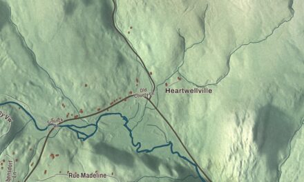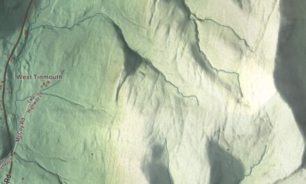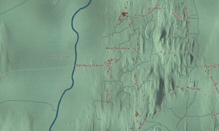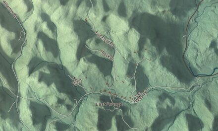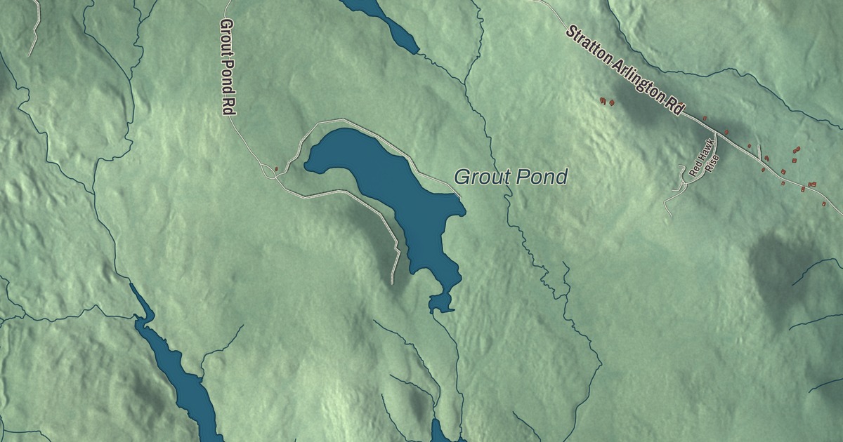
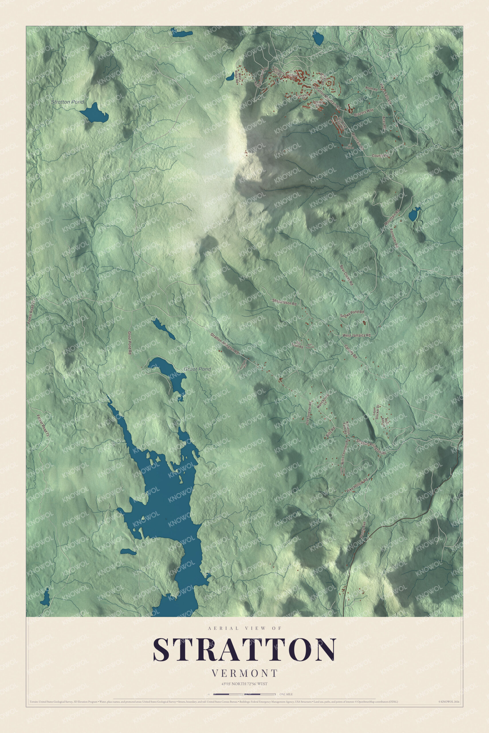
Stratton lies high in the southern Green Mountains, around the mountain that shares its name. This map prints Stratton Arlington Road, Stratton Mountain Road, Mountain Road, West Jamaica Road, County Road and Pike Hollow Road, with Grout Pond and Stratton Pond.
Stratton is a town in Windham County, Vermont.
KNOWOL made this map in 2026 from public survey data and gave it the look of an old county atlas, shading the hills from United States Geological Survey elevation data and drawing the roads and town line from the Census Bureau. The town covers 46.9 square miles, and 440 people lived here at the 2020 census. Click here to purchase a print of this map for your wall.
The mountain at the top of the county
New Hampshire granted Stratton on July 30, 1761, and the town organized on May 31, 1788. Samuel Boutell represented the town in the legislature from 1799 to 1816. Stratton Mountain is the town’s high point and the highest point in Windham County and in the southern Green Mountains generally. It has two peaks, and the southern one is higher, at 3,940 feet. Its slopes shed water in every direction, south and southeast by way of Ball Mountain Brook to the West River, northwest to the Winhall River, and southwest to the East Branch of the Deerfield River, all of it bound eventually for the Connecticut River.
On the wooded south summit stands the Stratton Mountain Lookout Tower, built around 1934 by a crew of the Civilian Conservation Corps. It’s one of the state’s last surviving fire towers, it was one of the last three taken out of service for fire spotting, in 1982, and it joined the National Register of Historic Places in 1992. It’s generally open for the public to climb, and a Green Mountain Club caretaker lives in a small cabin beside it in season. In 1840 Daniel Webster spoke on Stratton Mountain to a crowd of 10,000 Whigs.
Click to explore a larger preview. The digital watermark does not appear on printed maps.
Names on this map
These names are printed on this map.
Places: Grout Pond and Stratton Pond.
Streets and roads: Stratton Arlington Road, Stratton Mountain Road, Mountain Road, West Jamaica Road, Forest Road 71, County Road, Pike Hollow Road, Grout Pond Road, Canedy Road, Penny Avenue, Pikes Falls Road, Shepardson Road.
More street names, A to Z
Acer Road, Ball Farm Road, Bear Creek Road, Bills Road, Brazers Way, Catey Rose Lane, East Birch Road, Forrester Road, Founders Hill Road, Kerri Ann Lane, Knowlton Farm Road, Leon Stocker Drive, Manicknung Lane, North Brookwood Road, North Road, Old Forrester Road, Old Town Road, Red Hawk Rise, Snowy Pond Road, Sun Bowl Ridge Road, Sun Bowl Road, Tamarack Road, Treetop Road, Village Square, West Ridge Road, Willis Cemetery Road.
See it on a wall
The Stratton map as a framed print. Swipe for more.


Where two great trails began
Stratton Mountain has a special place in the history of American hiking. In 1909 James P. Taylor, then assistant headmaster of Vermont Academy in Saxtons River, was on the mountain when he thought of a trail from Massachusetts to Canada. That became the Long Trail, which the Green Mountain Club built between 1910 and 1930 and which is the oldest long-distance trail in the United States. Later, while on the summit of Stratton as the Long Trail was being built, Benton MacKaye thought of a trail spanning the whole Appalachian range. The result was the Appalachian Trail, 2,170 miles from Georgia to Maine. In southern Vermont the two trails run together, and they cross the summit of Stratton from south to north.
The northern end of the mountain is home to Stratton Mountain Resort. The poet and novelist Robert Penn Warren spent the later part of his life in Stratton and Fairfield, Connecticut, and he’s buried in Stratton.
On the map, start with Stratton Arlington Road, then follow Stratton Mountain Road, Mountain Road, West Jamaica Road, County Road and Pike Hollow Road across town. Grout Pond and Stratton Pond are printed too. Stratton dates to 1761.
This map of Stratton is made for everyone who calls Stratton home, and it shows the town as it looks today, from Stratton Arlington Road and Pike Hollow Road to Grout Pond and Stratton Pond. Hang it in an office, library or den, or use it to teach children the geography and history of their town. It’s printed on museum quality archival paper. Zoom in on the preview above to explore the details, then click here to get your copy of the Stratton, Vermont map.

Sources