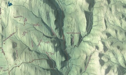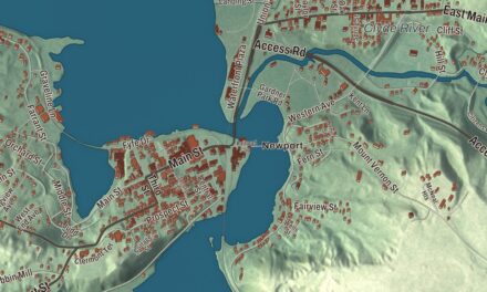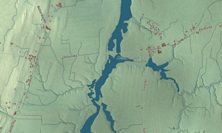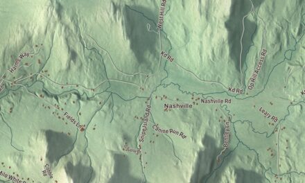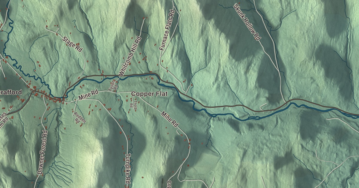
Strafford gathers around a triangular village green, with its meetinghouse at the north end and the senator’s Gothic house just to the south. This map prints South Strafford, Copper Flat and Old City, Old City Falls Road, Maple Hill Road, Wetmore Road, Van Dyke Road and Cross Road, and Miller Pond.
Strafford is a town in Orange County, Vermont.
KNOWOL made this map in 2026 from public survey data and gave it the look of an old county atlas, shading the hills from United States Geological Survey elevation data and drawing the roads and town line from the Census Bureau. The town covers 44.3 square miles, and 1,094 people lived here at the 2020 census. Click here to purchase a print of this map for your wall.
The village on the turnpike
King George III’s royal governor of New Hampshire, Benning Wentworth, granted Strafford on August 12, 1761, and it was named for the Earl of Strafford. The town organized on March 18, 1778, with Frederick Smith as its first representative in the legislature. Its first center lay north of the present village, which developed in the 1790s and grew in importance because of the meetinghouse and the turnpike between Montpelier and Boston, today’s Morrill Highway. The discovery of copper ore in the surrounding hills gave the area a boost in the 1820s, and it declined after larger deposits were found in the Midwest in the 1840s. The Elizabeth Mine, on the line between Strafford and Thetford, worked a copper deposit found in 1793, and mining there began in 1809 and went on until the mine closed in 1957. The West Branch of the Ompompanoosuc River runs through town on its way to Thetford.
The village green is a triangle formed where Brook Road branches off the highway. At its north end stands the meetinghouse of 1799, Federal on the outside with late 1800s decoration within. Strafford’s town house, on a hill at the end of the town common, is one of the most famous in Vermont. Greek Revival houses line the green, along with the Greek Revival Union Church on its east side, the first library building, now the town offices, on its west side, and the library of 1915 near the south end. Most of the village was built before 1840, and it’s been a historic district on the National Register of Historic Places since 1974.
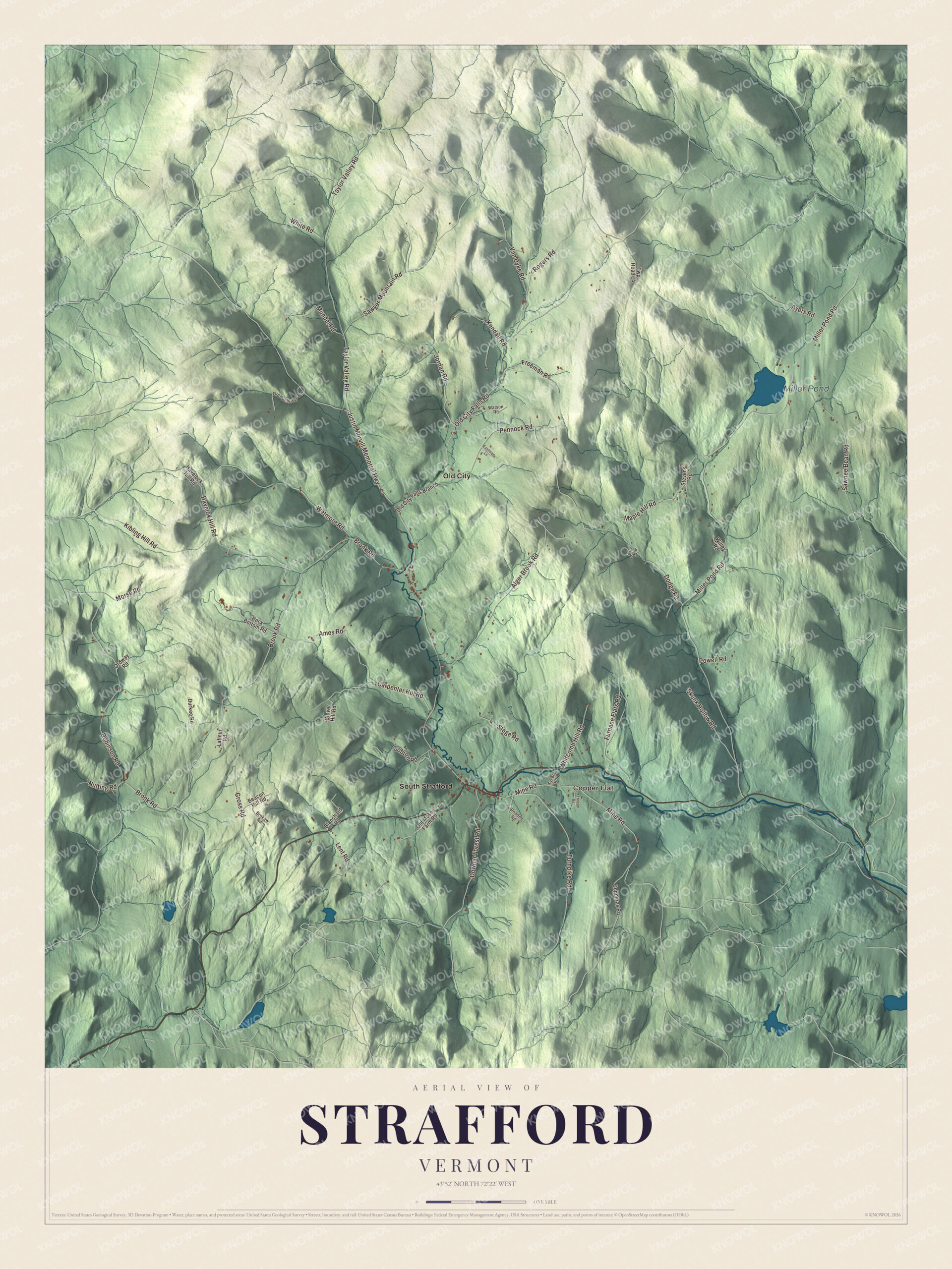
Click to explore a larger preview. The digital watermark does not appear on printed maps.
Names on this map
These names are printed on this map.
Places: Copper Flat, Miller Pond, Old City and South Strafford.
Streets and roads: Wetmore Road, Maple Hill Road, Van Dyke Road, Cross Road, Justin Morvill Memorial Highway, Old City Falls Road, Lent Road, Miller Pond Road, Brook Road, Taylor Valley Road, Robinson Road, Mine Road.
More street names, A to Z
Alger Brook Road, Ames Road, Ayers Road, Beacon Hill Road, Blanchard Road, Brokaw Road, Carpenter Hill Road, Clover Hill Road, Coburn Road, Cook Road, Copperas Road, Dodge Road, Downer Forest Road, Durkee Road, Eastman Lane, Freeman Road, Furnace Flats Road, Havelock Hill Road, Havelok Hill Road, Jordan Road, Kendall Road, Kibling Hill Road, Lafleur Road, Morse Road, Mundel Road, Nutting Road, Old City Falls Branch, Old Moses Farm Road, Old Tunbridge Road, Ordway Road, Pennock Road, Powell Road, Redden Road, Rock Bottom Road, Rogers Road, Sawnee Bean Road, Sawyer Mountain Road, Skunk Hollow Road, Stage Road, Stevens Road, Thorp Road, Turnpike Road, Twp Road 14, Tyson Road, Watson Road, Whitcomb Hill Road, White Road, Willey Road.
See it on a wall
The Strafford map as a framed print. Swipe for more.


Justin Morrill’s homestead
Just south of the green stands the Carpenter Gothic home of Justin Smith Morrill, born in Strafford on April 14, 1810, the son of a farmer and blacksmith. He clerked in a store here, became a merchant in Strafford, and went on to serve Vermont in the United States House from 1855 to 1867 and the Senate from 1867 until his death in 1898. He’s most remembered for the Morrill Land-Grant Acts of 1862 and 1890, which gave federal land and later funding to the states to found colleges and universities. He designed the house himself and oversaw its building from 1848 to 1851, and it still holds original furnishings and family belongings. It was one of the first places named a National Historic Landmark, in 1960, and the state, which has owned it since 1969, opens it as a historic site from May to October. Morrill is buried in Strafford Cemetery.
Other Strafford natives include Jedediah Hyde Baxter, born here in 1837, who became Surgeon General of the United States Army, and Doc Hazelton, a major league baseball player and college coach, who was born here and taught at Strafford’s elementary school in the 1890s. The singer-songwriter Noah Kahan was born in Strafford and grew up on a tree farm here, and his 2022 album Stick Season was his breakthrough. The equestrian Denny Emerson runs Tamarack Hill Farm in town, and the poet Barbara Moraff bought a hilltop farm here in the 1960s. South Strafford sits on Route 132, about 10 miles northwest of Hanover, New Hampshire.
On the map, start with Copper Flat and Old City, then follow Wetmore Road, Maple Hill Road, Van Dyke Road, Cross Road and Old City Falls Road across town. Then look outward toward South Strafford. Miller Pond is printed too. Strafford dates to 1761.
This map of Strafford is made for everyone who calls Strafford home, and it shows the town as it looks today, from South Strafford and Copper Flat to Old City and Miller Pond. Hang it in an office, library or den, or use it to teach children the geography and history of their town. It’s printed on museum quality archival paper. Zoom in on the preview above to explore the details, then click here to get your copy of the Strafford, Vermont map.

Sources
- Strafford, Vermont, Wikipedia
- Town histories and representatives, S towns, Vermont Legislature
- Strafford Village Historic District, Wikipedia
- Elizabeth Mine, Wikipedia
- Ompompanoosuc River, Wikipedia
- Justin Smith Morrill Homestead, Wikipedia
- Justin Smith Morrill, Wikipedia
- Jedediah Hyde Baxter, Wikipedia
- Doc Hazelton, Wikipedia
- Noah Kahan, Wikipedia
- Denny Emerson, Wikipedia
- Barbara Moraff, Wikipedia
- South Strafford, Vermont, Wikipedia