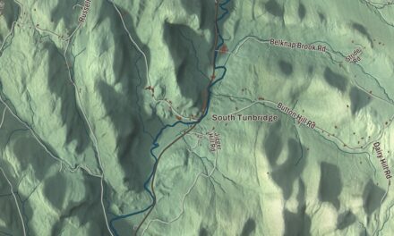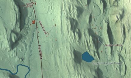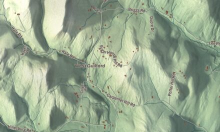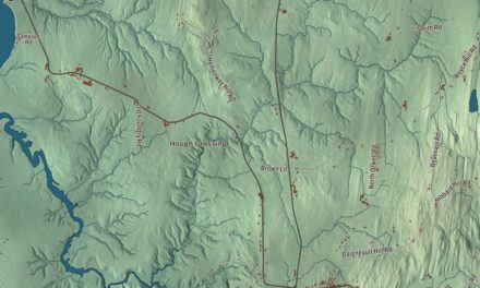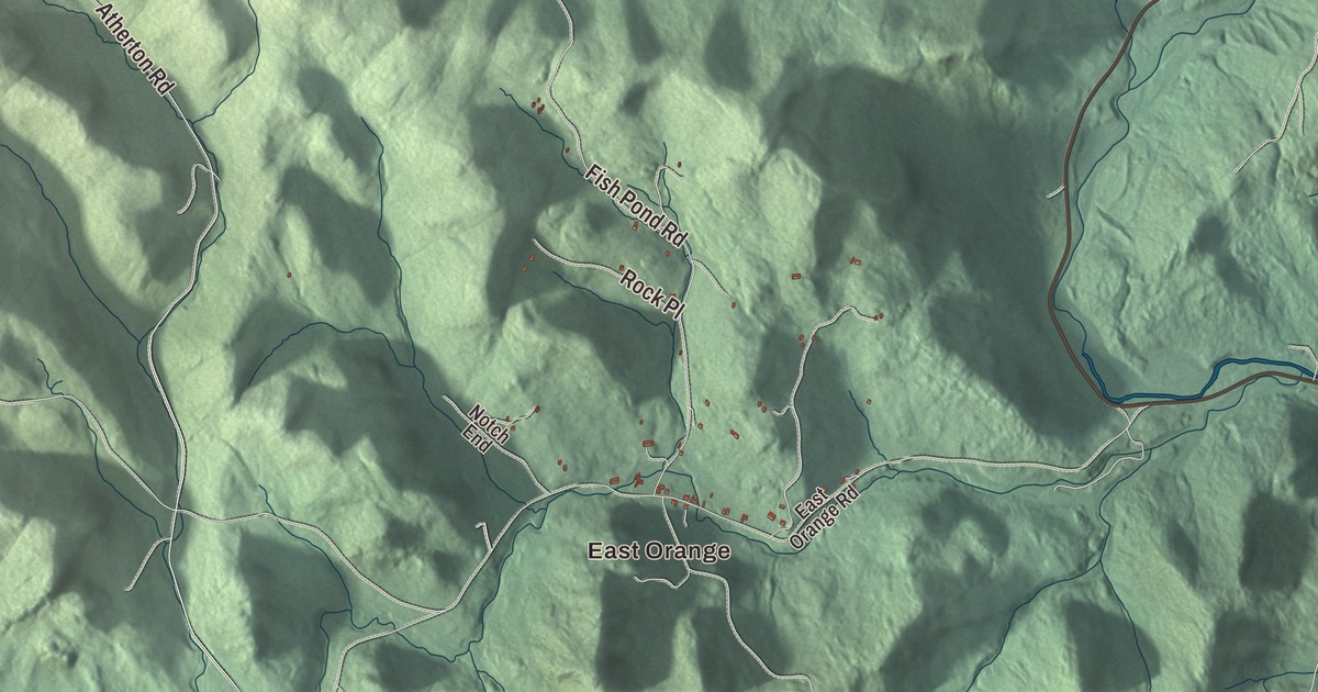
Orange is a rural hill town next to Barre, and the William Scott Memorial Highway climbs through it, crossing a height of land and the valley of the Waits River. This map prints the William Scott Memorial Highway, Atherton Road, Partridge Road, Smith Road, Emery Road and Reservoir Road, with East Orange.
Orange is a town in Orange County, Vermont.
KNOWOL made this map in 2026 from public survey data and gave it the look of an old county atlas, shading the hills from United States Geological Survey elevation data and drawing the roads and town line from the Census Bureau. The town covers 39.0 square miles, and 1,048 people lived here at the 2020 census. Click here to purchase a print of this map for your wall.
Granted by Vermont
Vermont’s Revolution-era government granted Orange on November 6, 1780, to Captain Ebenezer Green, Amos Robinson and 63 other shareholders, and chartered it on August 11, 1781. New Hampshire, Vermont and New York were still fighting over who could grant towns here, and New York tried without success to charter the same land as a town called Kempton. Settlement waited until 1793, when Joseph Williams and his family built a house in the south of town. Orange organized in 1796 at a meeting in the Williams home, choosing Joseph Thayer as moderator, John Sloane as town clerk, and Thomas Storrs Paine, Fairbanks Bush and Gould Camp as selectmen. In 1798 the town sent its first representative to the Vermont House, Ezra Goodale.
Water for Barre
The Thurman W. Dix Reservoir, in Orange, is the main water supply for neighboring Barre, and its water treatment works are here too. The Waits River, 24.5 miles long and once also called “Ma-houn-quam-mas-see,” flows through the northeastern part of town on its way to the Connecticut River at Bradford. The William Scott Memorial Highway is Route 302, which runs from Barre up through the hills of Orange and on to Groton, and it was once part of the Theodore Roosevelt International Highway. On George Street, about half a mile north of the village center, the Harlie Whitcomb Farm was listed on the National Register of Historic Places in 1979 for the three-story eight-sided barn Harlie Whitcomb built in 1905 and 1906, one of very few in the state; the barn has since been torn down.
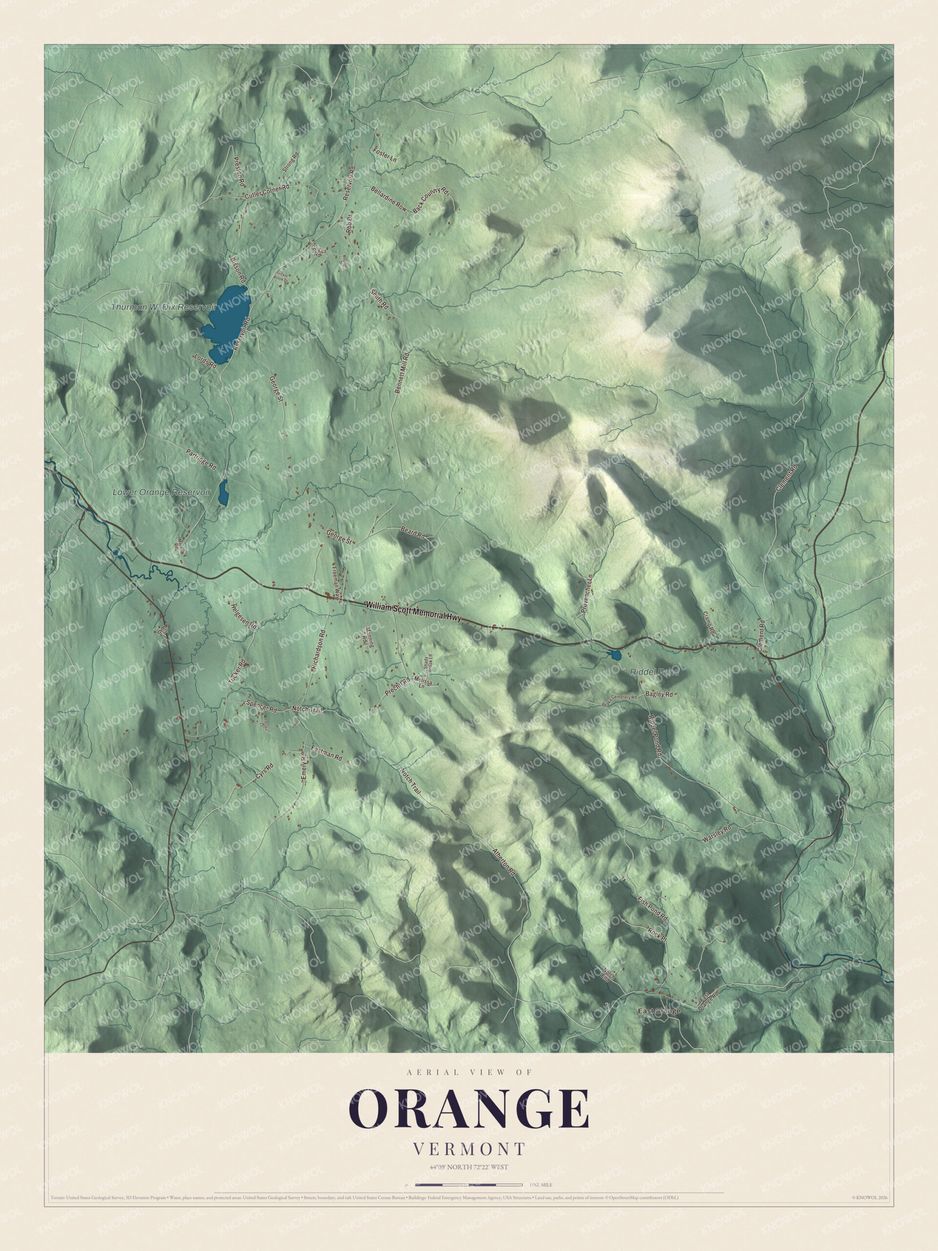
Click to explore a larger preview. The digital watermark does not appear on printed maps.
Names on this map
These names are printed on this map.
Places: East Orange, Thurman W. Dix Reservoir, Lower Orange Reservoir and Riddel Pond.
Streets and roads: William Scott Memorial Highway, Atherton Road, Partridge Road, Smith Road, Emery Road, Reservoir Road, George Street, Riddel Pond Road, Clement Road, Bennett Mill Road, Notch Trail, Fish Pond Road.
More street names, A to Z
Back Country Road, Bagley Road, Beard Road, Bellardine Row, Bisson Road, Bls Drive, Cramp Road, Cutler Corner Road, Cyrs Road, Eastman Road, East Orange Road, Foster Lane, Freeman Way, Griggs Road, Helgesen Road, Leclair Lane, Lords Road, Magnum Drive, Manning Road, Melissa Lane, Moran Road, Notch End, Peake Cemetery Road, Prechtl Road, Preston Road, Provencher Lane, Rbb Drive, Richardson Road, Rock Place, Shady Brook Lane, Spencer Road, Strong Road, Trickle Brook Drive, Tucker Road, Warsley Road.
See it on a wall
The Orange map as a framed print. Swipe for more.


Edna Beard and other Orange people
Edna Beard’s family came from Orange and moved back in 1883. She was schooled in Orange, taught, and from 1906 served as superintendent of the town’s schools. In 1920, the year the Nineteenth Amendment let women vote in state elections, she ran to represent Orange in the Vermont House and lost the Republican primary by six votes. Between the primary and the general election, 40 women in town registered to vote for the first time, and in November she won by 38 votes, the first woman elected to the Vermont House of Representatives. Two years later she was elected to the Vermont Senate, the first woman to serve there, and she’s buried in the family plot at Orange Center Cemetery. Frank P. Sargent, born in East Orange in 1851 and schooled in a district school of Orange County, led the Brotherhood of Locomotive Firemen and Enginemen for more than 17 years. Stanley C. Wilson, born in Orange in 1879, was governor of Vermont from 1931 to 1935. After he retired from the Air Force in 1946, Alexander Kennedy Miller settled on a big farm in East Orange, where he quietly hid a trove of antique cars in his barns and sheds, about 30 of them original Stutz motorcars.
On the map, start at East Orange, then follow the William Scott Memorial Highway, Atherton Road, Partridge Road, Smith Road, Emery Road and Reservoir Road across town. The Dix Reservoir, Lower Orange Reservoir and Riddel Pond are printed. Orange dates to 1781.
This map of Orange is made for everyone who calls Orange home, and it shows the town as it looks today, from East Orange to the reservoirs. Hang it in an office, library or den, or use it to teach children the geography and history of their town. It’s printed on museum quality archival paper. Zoom in on the preview above to explore the details, then click here to get your copy of the Orange, Vermont map.

Sources