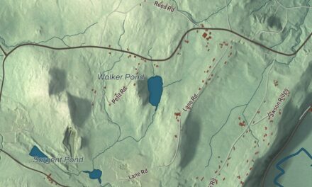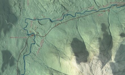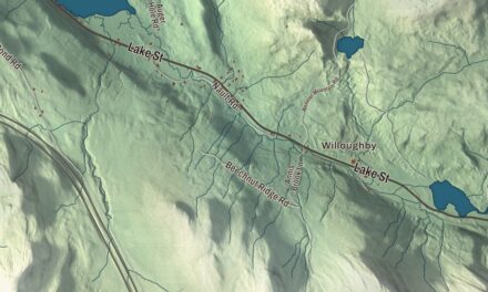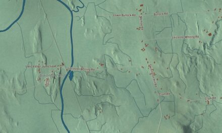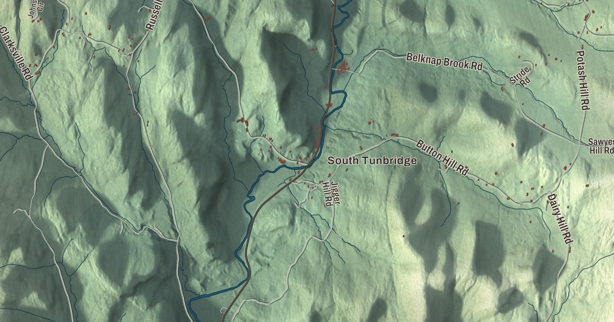
Tunbridge strings its three villages along Route 110 in the valley of the First Branch of the White River: North Tunbridge, which locals also call Blood Village, Tunbridge Village, called Market, and South Tunbridge, called Jigger. This map prints North Tunbridge and South Tunbridge, Tunbridge Trout Pond, and hill roads such as Kelsey Mountain Road, Gifford Hill Road and Kibling Hill Road.
Tunbridge is a town in Orange County, Vermont.
KNOWOL made this map in 2026 from public survey data and gave it the look of an old county atlas: the hills are shaded from United States Geological Survey elevation data, and the roads and town line come from the Census Bureau. The town covers 44.8 square miles, and 1,337 people lived here at the 2020 census. Click here to purchase a print of this map for your wall.
A fair written into the charter
New Hampshire granted Tunbridge on September 3, 1761, and the town was organized on March 21, 1786. Its charter allowed two fairs a year once fifty families lived in town, but the fair Tunbridge is known for came later. In 1867 the new Tunbridge Agricultural Society held a fair at the Elisha Lougee Farm in North Tunbridge, and Burnham Martin, a former lieutenant governor, called it a “little World’s Fair.” Lewis Dickerman put the phrase on the handbills the next year, and the name has stayed. The first eight fairs were held in North Tunbridge; in 1875 the fair moved to the grounds in the center of Tunbridge Village, where it’s been ever since. It joined the National Trotting Association in 1894 and has kept, for many years, the only grass race track left in Vermont. Since 1901 it’s been run by 100 shareholders whose shares pass down through families, and none of them takes a share of the money. Each September there’s horse and ox pulling, harness racing, cattle and horse shows, 4-H exhibits and contra dancing.
The village around the fairgrounds began with a sawmill and gristmill on the river in 1785. A brickyard opened in 1820. The railroads passed the town by, and most of the village’s buildings date from before 1840. The whole village center, fairgrounds included, has been on the National Register of Historic Places since 1994. On Spring Road the Hayward and Kibby Mill keeps a brick gristmill of about 1820 and a sawmill added about 1870. It’s one of the few water-powered mills left in Vermont and is believed to be the only one with both a sawmill and a gristmill. Its 19th-century machinery is still in working order. In 1985 Vermont named the Tunbridge soil series, a typical hill-farm and sugarbush soil, its official state soil.
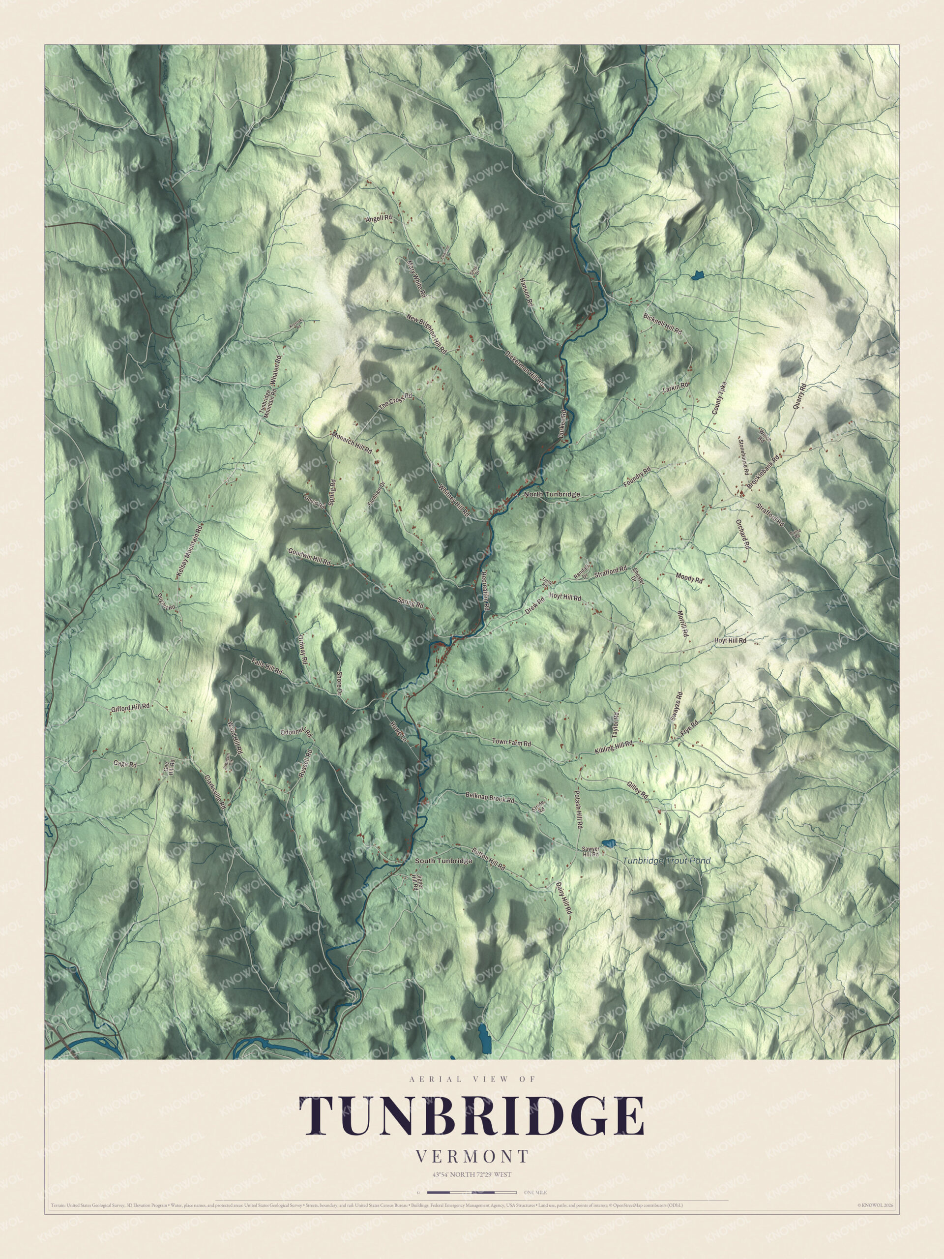
Click to explore a larger preview. The digital watermark does not appear on printed maps.
Names on this map
These names are printed on this map.
Places: South Tunbridge, North Tunbridge and Tunbridge Trout Pond.
Streets and roads: Kelsey Mountain Road, Whalen Road, Gifford Hill Road, Swayze Road, Dairy Hill Road, Kibling Hill Road, Hoyt Hill Road, Clarksville Road, Whitney Hill Road, Strafford Road, Potash Hill Road, Dickerman Hill Road.
More street names, A to Z
Angell Road, Belknap Brook Road, Bicknell Hill Road, Brocklebank Road, Button Hill Road, Chester Drive, County Turnpike, Drew Road, Dugout Road, Durkee Road, Falls Hill Road, Farnham Drive, Foundry Road, Frye Road, Gage Road, Gee Hill Road, Gilley Road, Goodwin Hill Road, Gould Road, Hanson Road, Howe Lane, Jigger Hill Road, Johnson Circle, Krovoski Road, Larkin Road, Mary White Road, Monarch Hill Road, Moody Road, Morrill Road, New Brighton Hill Road, Odonnell Road, Orchard Road, Ordway Road, Paine Road, Quarry Road, Randall Drive, Recreation Road, Russell Road, Sawyer Hill Road, Shop Drive, Shore Drive, Spring Road, Stonehouse Road, Stride Road, Swanson Drive, Taylor Road, The Cross Road, Town Farm Road, Tunbridge Mountain Road, Tuttle Road, Ward Hill Road, Welch Road.
See it on a wall
The Tunbridge map as a framed print. Swipe for more.


Bridges on the First Branch
Tunbridge has five covered bridges, and with one more in Chelsea they make one of the highest concentrations of covered bridges in the state, all on the same river. The Flint Covered Bridge of 1845, in North Tunbridge, is the oldest. The Cilley Covered Bridge, built in 1883 on Howe Lane, is a king-post truss set at a skew, with two square windows cut in its side so drivers can see around a sharp turn. The Howe Covered Bridge dates to about 1879. The Larkin Covered Bridge of 1902 is one of the last covered bridges built in Vermont in the historic period of bridge building. The Mill Covered Bridge beside the old mill is a near copy, built in 2000, of the 1883 bridge that ice floes badly damaged in 1999. North Tunbridge also has the Foundry Bridge, an iron Warren pony truss of 1889 that led to Smith’s Foundry and a gristmill. It’s one of the state’s oldest wrought iron bridges and the only surviving one built by the Vermont Construction Company of St. Albans. In South Tunbridge the brick Methodist Episcopal church of 1833, with its sunburst brickwork, is one of the finest examples of late Federal architecture in Orange County.
Joseph Smith Sr. married Lucy Mack in Tunbridge in 1796, and their son Hyrum Smith, a leader in the early Latter Day Saint movement, was born here. Solomon Mack, a Revolutionary War veteran and the grandfather of Joseph Smith Jr., moved to Tunbridge around 1799. David M. Camp, born in Tunbridge in 1788, served as Vermont’s lieutenant governor from 1836 to 1841. Frank A. Haskell, also born here, wrote a well-known account of the Battle of Gettysburg. In the 20th century the dairy farmer Fred Tuttle, who lived in Tunbridge all his life, became a film actor when his neighbor, the filmmaker John O’Brien, cast him in Man with a Plan. Ivy Mix, who grew up in Tunbridge, was named Best American Bartender of the Year in 2015.
On the map, start in North Tunbridge or South Tunbridge, then follow Kelsey Mountain Road, Whalen Road, Gifford Hill Road, Swayze Road, Dairy Hill Road and Kibling Hill Road. Tunbridge Trout Pond is printed too. Tunbridge dates to 1761.
This map of Tunbridge is made for everyone who calls Tunbridge home, and it shows the town as it looks today, from North Tunbridge to South Tunbridge and Tunbridge Trout Pond. Hang it in an office, library or den, or use it to teach children the geography and history of their town. It’s printed on museum quality archival paper. Zoom in on the preview above to explore the details, then click here to get your copy of the Tunbridge, Vermont map.

Sources
- Tunbridge, Vermont, Wikipedia
- Town histories and representatives, T towns, Vermont Legislature
- Tunbridge World’s Fair, Wikipedia
- Tunbridge Village Historic District, Wikipedia
- Hayward and Kibby Mill, Wikipedia
- Flint Covered Bridge, Wikipedia
- Cilley Covered Bridge, Wikipedia
- Howe Covered Bridge, Wikipedia
- Larkin Covered Bridge, Wikipedia
- Mill Covered Bridge (Tunbridge, Vermont), Wikipedia
- Foundry Bridge, Wikipedia
- South Tunbridge Methodist Episcopal Church, Wikipedia
- Joseph Smith Sr., Wikipedia
- Hyrum Smith, Wikipedia
- Solomon Mack, Wikipedia
- David M. Camp, Wikipedia
- Frank A. Haskell, Wikipedia
- Fred Tuttle, Wikipedia
- Ivy Mix, Wikipedia