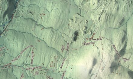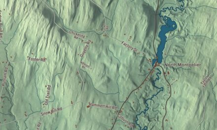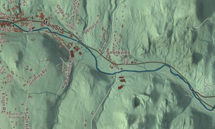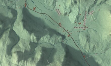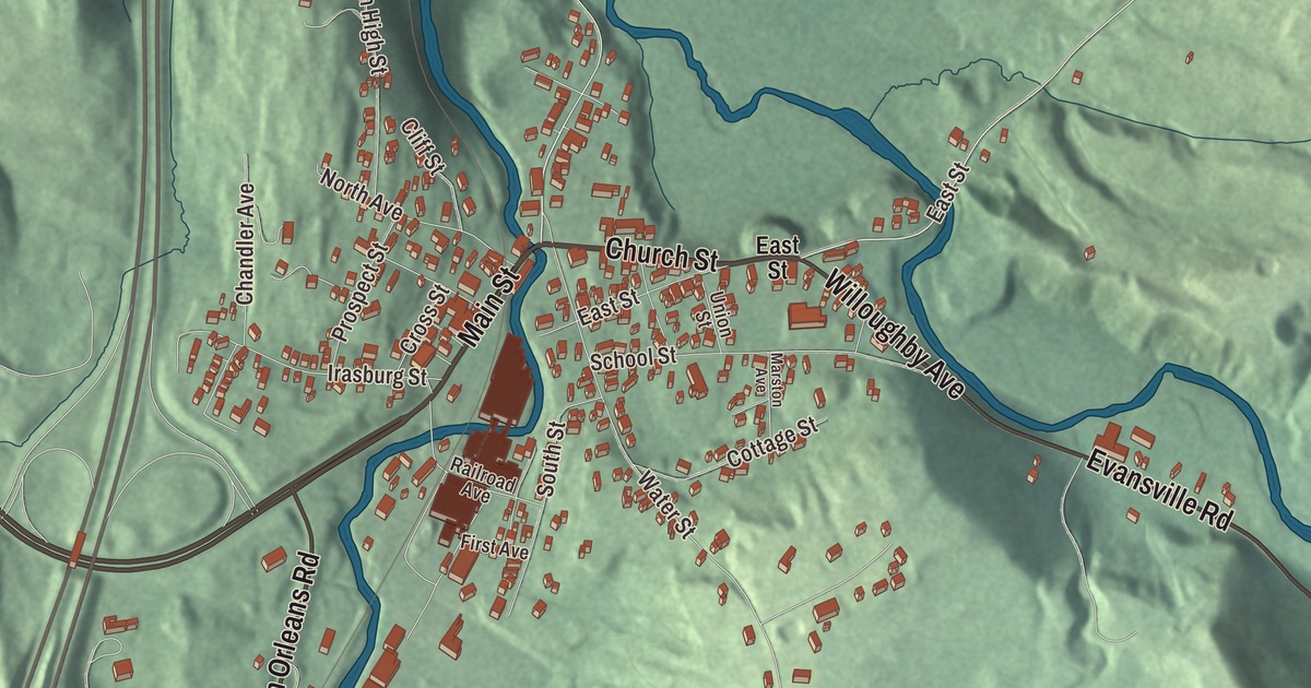
Orleans grew up where the Willoughby River runs into the Barton River, in the northwest corner of the town of Barton. This map prints Main Street, Church Street, Evansville Road, Willoughby Avenue, Barton Orleans Road and Maple Street across the village.
Orleans is a village in Orleans County, Vermont.
KNOWOL made this map in 2026 from public survey data and gave it the look of an old county atlas, shading the hills from United States Geological Survey elevation data and drawing the streets and village line from the Census Bureau. Orleans is an incorporated village within the town of Barton, and it has its own incorporated-place boundary. With 788 people at the 2020 census, it’s the largest village in the county. Click here to purchase a print of this map for your wall.
Barton Landing
The village was first named Barton Landing. It was the first place where boats could be safely loaded for the trip down the Barton River to Lake Memphremagog, since the two rivers together gave enough water to float them, and Native Americans had used the landing for years before the settlers came. Roger Enos bought land here from Ira Allen in 1820, and the village’s first building was his sawmill at the meeting of the rivers. In 1830 Jesse Cook turned it into a textile mill, weaving cloth from Southern cotton, in 1839 John Little made it a grain mill, and in 1869 Lovinas Chandler bought it for a lumber mill. His son founded the E. L. Chandler Company and grew the business here in the 1890s.
The railroad reached the village in 1859 and 1860. Later the railroad asked the village to change its name, to avoid confusion with Barton village, and in 1908 the people voted to take the name of their county, Orleans.
Furniture and the falls
The old mill site passed through several owners, the Sweat-Comings Company, the Vermont American Corporation and the Baumritter Corporation among them. Baumritter’s furniture division grew from a payroll of $120,000 in 1954 to $2,500,000 in 1968, and the plant was sold to Ethan Allen Manufacturing, which does machining, veneering and finishing in Orleans. At the edge of the village, the Willoughby River Falls are a 200-foot stretch of cascades and a chute, and each spring rainbow trout swim up the river and over the falls from Lake Memphremagog to spawn.
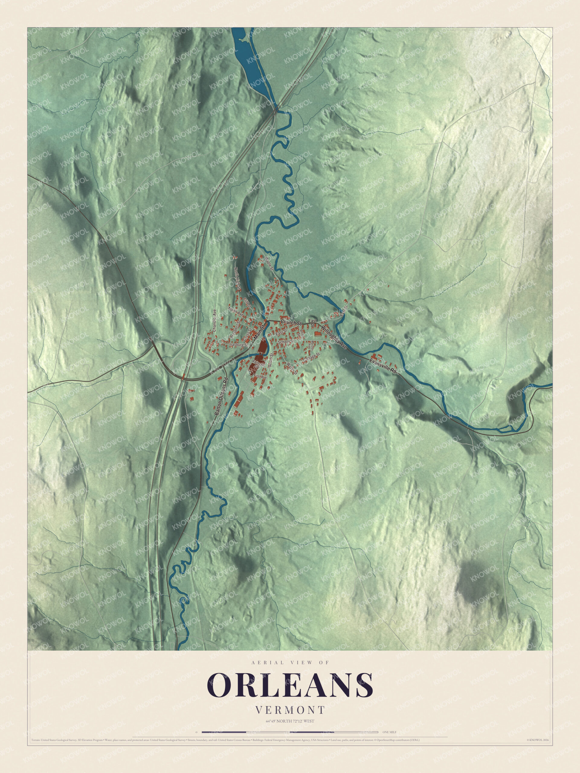
Click to explore a larger preview. The digital watermark does not appear on printed maps.
Names on this map
These names are printed on this map.
Streets and roads: Main Street, Church Street, Evansville Road, Willoughby Avenue, Barton Orleans Road, Maple Street, East Street, Water Street, Irasburg Street, School Street, Chandler Avenue, North High Street.
More street names, A to Z
Cliff Street, Cottage Street, Cross Street, First Avenue, Marston Avenue, North Avenue, Prospect Street, Railroad Avenue, South Street, Union Street.
See it on a wall
The Orleans map as a framed print. Swipe for more.


A village that runs itself
Like every incorporated village in Vermont, it’s governed directly by its residents, who hold the village meeting on the second Tuesday of March and elect all the officers, the fire department’s included. Orleans runs its own electric department, serving the village and the parts of Barton outside it, along with West Brownington and East Irasburg, and it pumps its water from the Willoughby River. Its library is a nonprofit, built and endowed by an estate left for it. Since at least 1983, during April school vacation, the village has hired schoolchildren for a day of spring cleaning on its streets. Heinie Stafford, who played for the New York Giants, was born in Orleans.
On the map, start on Main Street, then follow Church Street, Evansville Road, Willoughby Avenue, Barton Orleans Road and Maple Street across the village; every one of those streets is printed. The village remains active today.
This map of Orleans is made for everyone who calls Orleans home, and it shows the village as it looks today, from Main Street to the Willoughby River. Hang it in an office, library or den, or use it to teach children the geography and history of their village. It’s printed on museum quality archival paper. Zoom in on the preview above to explore the details, then click here to get your copy of the Orleans, Vermont map.

Sources