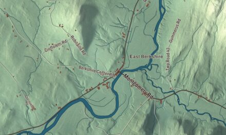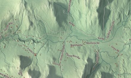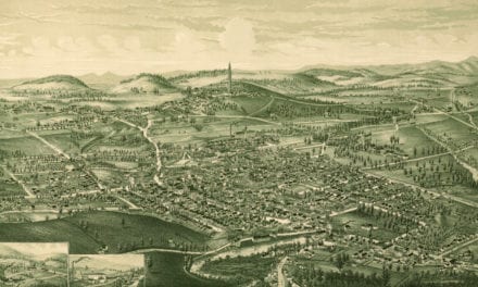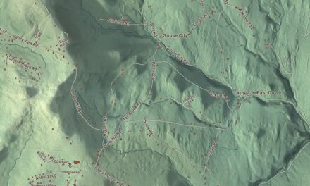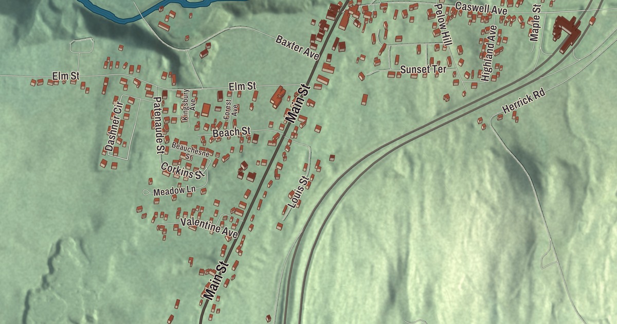
In Derby Line the Canadian border isn’t somewhere out in the woods. It runs along the top of the village, through a handful of homes, and on Caswell Avenue right across the floor of the library. This map prints the streets people here walk every day: Main Street, Caswell Avenue, Baxter Avenue, Elm Street, Corkins Street and Dashner Circle.
Derby Line is an incorporated village within the town of Derby, in Orleans County, Vermont.
KNOWOL made this map in 2026 from public survey data and drew it to look like a page from an old county atlas. The shaded relief comes from United States Geological Survey elevation data. The streets come from the Census Bureau, and so does the village line: Derby Line has its own incorporated-place boundary. The village covers about 0.7 square miles, all land, and it had 687 people at the 2020 census. Click here to purchase a print of this map for your wall.
A line drawn a little too far north
The border between the United States and Canada was meant to follow the 45th parallel. Surveyors in the 18th century drew it incorrectly, a little north of the parallel, and Derby Line grew up on their line. The Webster-Ashburton Treaty confirmed that boundary in 1842. The village sits on high ground at the far north of Derby, a town chartered on October 29, 1779, and first settled in 1795. A history of New England published in 1859 noted the beauty of the farmhouses and farmland here, set against a distant view of Lake Memphremagog and the Green Mountains.
The library on the line
The Haskell Free Library and Opera House, at 93 Caswell Avenue, was built on the border on purpose. Martha Stewart Haskell, who was Canadian, and her son Horace Stewart Haskell gave it in memory of her parents and her husband, Carlos F. Haskell, an American businessman who owned sawmills. The family wanted Canadians and Americans to have equal use of it. Work began in 1901, the opera house opened on June 7, 1904, and the library followed in 1905. The architect James Ball designed it in the Queen Anne Revival style, with walls two feet thick of granite from Stanstead.
Inside, a thick black line crosses the floor to mark the border. The books and the stage are in Stanstead, Quebec, while the main entrance and most of the seats are in Derby Line, and so the Haskell is sometimes called “the only opera house in the U.S.A. with no stage.” The drop curtain carries a painted scene of Venice. The building has a Vermont address on Caswell Avenue and a Quebec address on rue Church. It has been on the National Register of Historic Places since 1976, and Canada named it a National Historic Site in 1985. The rules for crossing at the library have grown stricter in recent years, and in June 2026 a new permanent entrance opened on the Canadian side.
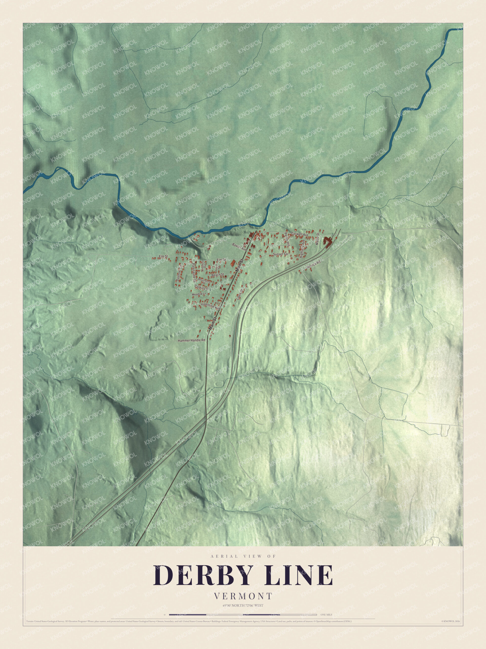
Click to explore a larger preview. The digital watermark does not appear on printed maps.
Names on this map
These names are printed on this map.
Streets and roads: Main Street, Corkins Street, Dashner Circle, Elm Street, Baxter Avenue, Caswell Avenue, Herrick Road, Sunset Terrace, Louis Street, Hammer Handle Road, Highland Avenue, Pelow Hill.
More street names, A to Z
Beach Street, Beauchesne Street, Forest Avenue, Kingsbury Avenue, Maple Street, Meadow Lane, Patenaude Street, Valentine Avenue.
See it on a wall
The Derby Line map as a framed print. Swipe for more.


Neighbors on both sides
Besides the library, five inhabited buildings are split by the border, and so is a tool-and-die factory; its Vermont half was bought in 1988 by Group Tivoly, a French cutting-tools company. Daily life crosses the line in plain ways. Drinking water for Derby Line and Stanstead is pumped from wells in Canada, stored in a reservoir in the United States and sent out through a system Canadians maintain, and the two villages share emergency crews that answer calls on either side. A phone call from Derby Line to Rock Island, Quebec, is a local call. In 2007 the village trustees even met in Quebec, in joint session with the mayor and council of Stanstead, following Vermont’s rules for the meeting.
Main Street carries U.S. Route 5 north to the border crossing, where it meets Quebec Route 143. The American border station there opened in 1932, a two-story brick building in the Georgian Revival style, the largest and most architecturally sophisticated of the stations built in Vermont in the 1930s, and part of it now holds the post office. Interstate 91 and U.S. Route 5 both end in Derby Line. Main Street, Caswell Avenue, Baxter Avenue, Elm Street, Corkins Street and Dashner Circle are all printed on the map. The village remains active today, and the factory on the Vermont side is still open.
Whether you grew up on Elm Street or crossed the line every week for a library book, this map is made for everyone who calls Derby Line home, and it shows the village as it looks today. KNOWOL created it in 2026, and it’s printed on museum quality archival paper. Hang it in an office, library or den, or use it to teach children the geography and history of a village that sits on two countries. Zoom in on the preview above to explore the details, then click here to get your copy of the Derby Line, Vermont map.

Sources