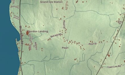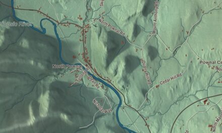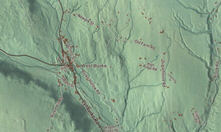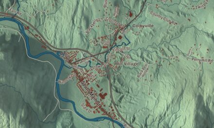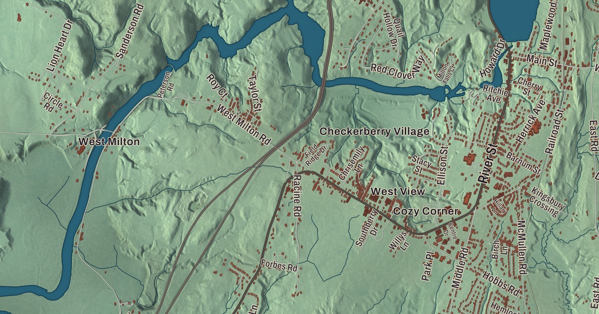
Milton runs from the mouth of the Lamoille River on Lake Champlain east across the middle of the town, past one small village after another. This map prints River Street, Roosevelt Highway, Main Street, Middle Road, Westford Road and North Road, with Checkerberry Village, Cozy Corner, West View, West Milton and Miltonboro.
Milton is a town in Chittenden County, Vermont.
KNOWOL made this map in 2026 from public survey data and gave it the look of an old county atlas, shading the hills from United States Geological Survey elevation data and drawing the roads and town line from the Census Bureau. The town covers 60.9 square miles, and 10,723 people lived here at the 2020 census. Click here to purchase a print of this map for your wall.
A viscount’s name and five settlers
Benning Wentworth, governor of New Hampshire, chartered Milton on June 8, 1763. Local legend says the town was named for the poet John Milton, but the name more likely came from William Fitzwilliam, 4th Earl Fitzwilliam, who held the title Viscount Milton and supported independence for the colonies. Nobody settled here until February 1782, when William Irish, Leonard Owen, Amos Mansfield, Absalom Taylor and Thomas Dewey arrived. The town organized on March 25, 1788, and Aaron Mathews was its first representative that year. By 1795 about 300 settlers lived in Milton, and meetings in private homes would no longer do. The Town House was built in 1849. Heman Allen began practicing law here in 1803 as Milton’s first resident lawyer, He’s remembered as Heman Allen of Milton, to tell him apart from a distant cousin of the same name, and he later served in Congress from 1831 to 1839.
The first settlers made most of their living from lumber and potash until 1840, when dairying caught on and butter and cheese went to market. In time Milton’s milk was shipped to Boston and New York. As of 2024, three dairy farms were still at work in town. Catamount Speedway ran here from 1965 until 1988, and many drivers who raced there, including Kevin Lepage of Shelburne, went on to big careers. Some scenes of the Farrelly brothers’ movie Me, Myself & Irene, starring Jim Carrey and Renée Zellweger, were filmed in Milton.
Villages from the lake to the falls
Milton has many small communities, many of which grew up because travel was hard before the automobile. Milton Falls, around the Main Street intersection on Route 7, was where many businesses once operated, and Milton Village grew around the schools. From there Cozy Corner, West View and Checkerberry Village line up westward to West Milton, everything west of the Lamoille plus a strip of its east bank. Inside Miltonboro, the town’s northwest corner, the little community of Miltonboro Village once had a stagecoach stop, a post office, a church, houses and farms. It’s down to three houses and a cemetery now.
At West Milton, Bear Trap Road crosses the Lamoille about a mile from the lake. The two-span Pennsylvania truss bridge that stood there from 1902 came through the 1927 floods, which destroyed more than 1,200 bridges in the state, and its trusses were later moved to the old Swanton covered railroad bridge site, where they’re now part of a multi-use trail. On the lake shore, Sand Bar State Park opened in 1933 as Vermont’s sixth state park and the first made on land the state bought. Civilian Conservation Corps crews cleared and filled the marsh and built the big stone bathhouse in 1933 to 1935, and the bathhouse still serves swimmers. The park sits at the east end of a natural sandbar, now topped by the U.S. Route 2 causeway to South Hero.
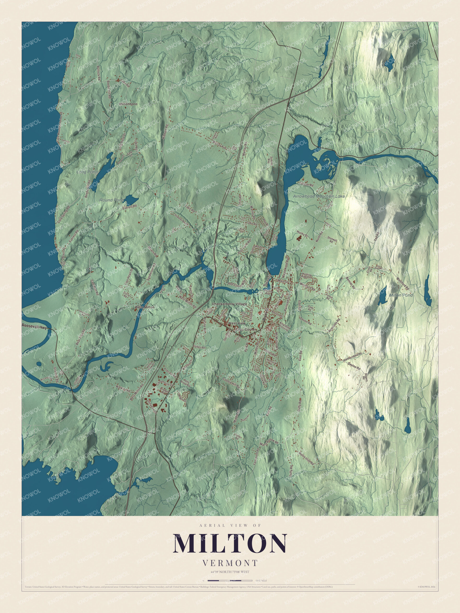
Click to explore a larger preview. The digital watermark does not appear on printed maps.
Names on this map
These names are printed on this map.
Places: Arrowhead Mountain Lake, Long Pond, Round Pond, Milton Pond, Checkerberry Village, Cozy Corner, Miltonboro, West Milton, West View and Cliffside Park.
Streets and roads: River Street, Roosevelt Highway, Main Street, Middle Road, Westford Road, North Road, East Road, Pep Place, Lake Road, West Milton Road, Beebe Hill Road, Everest Road.
More street names, A to Z
Access Road, Allen Drive, Andrea Lane, Barnum Street, Basswood Drive, Beach Road, Bear Trap Road, Beaver Brook Road, Bernier Road, Birch Lane, Bullock Road, Cadreact Road, Cary Lane, Catamount Drive, Centre Drive, Cherry Street, Chrisemily Lane, Circle Road, Clapper Road, Clay Ridge Road, Cobble Hill Road, Cody Road, Cold Spring Road, Cooper Road, Cross Road, Cub Road, Devino Road, Devon Road, Duffy Road, Eagle Mountain Harbor Road, Ellison Street, Farnsworth Road, Field Ridge Drive, Forbes Road, Forest Road, Fuller Road, Garden Place, Gonyeau Road, Gravelle Road, Hardscrabble Road, Hemlock Road, Herrick Avenue, Hibbard Road, Hillary Lane, Hillside Place, Hobbs Road, Howard Drive, Hunting Ridge Lane, Husky Drive, Jonzetta Court, Joy Road, Kim Lane, Kingsbury Crossing, Lena Court, Lion Heart Drive, Long Pond Drive, Manley Road, Maplewood Avenue, Marrs Hollow Road, McMullen Road, Mears Road, Milton Falls Court, Misty Bay Road, Morse Place, Murray Avenue, Overlake Drive, Park Place, Peterson Road, Petty Brook Road, Pinewood Lane, Poor Farm Road, Precast Road, Quail Hollow Drive, Racine Road, Railroad Street, Red Clover Way, Reynolds Road, Ritchie Avenue, Rogers Road, Rollin Irish Road, Roy Court, Russell Circle, Sampsonville Way, Sanderson Road, Sawyer Avenue, Shale Drive, Shore Road, Shotwell Road, Smith Road, Southberry Drive, Stacy Street, Streeter Brook, Summit Way, Taylor Street, Ted Road, Valley View Drive, Viewpoint Lane, Watkins Road, Westview Court, Whitney Place, Willys Lane, Winter Lane, Zip Place.
See it on a wall
The Milton map as a framed print. Swipe for more.


Born in Milton
Apollos “Paul” Smith, born here in 1825, left home at 16 to work on a Lake Champlain canal boat, became a hunting and fishing guide in the Adirondacks, and founded Paul Smith’s Hotel on Lower Saint Regis Lake, one of the first wilderness resorts there. The hamlet of Paul Smiths, New York, is named for the hotel, and Paul Smith’s College grew from his son’s bequest. Luther S. Dixon, raised on his father’s farm in Milton, became chief justice of the Wisconsin Supreme Court and served from 1859 to 1874. John G. Haskell, born here in 1832, became the state architect of Kansas, finished the Kansas State Capitol and designed courthouses across that state. Josephine E. Sizer, born at Milton Falls in 1862, served as president of the Minnesota Woman’s Christian Temperance Union from 1921 to 1931.
On the map, start at Checkerberry Village and Cozy Corner, then follow River Street, Roosevelt Highway, Main Street, Middle Road, Westford Road and North Road. Miltonboro, West Milton and West View are printed, and so are Arrowhead Mountain Lake, Long Pond, Round Pond and Milton Pond. Milton dates to 1763.
This map of Milton is made for everyone who calls Milton home, and it shows the town as it looks today, from the Lamoille River to Arrowhead Mountain Lake. Hang it in an office, library or den, or use it to teach children the geography and history of their town. It’s printed on museum quality archival paper. Zoom in on the preview above to explore the details, then click here to get your copy of the Milton, Vermont map.

Sources