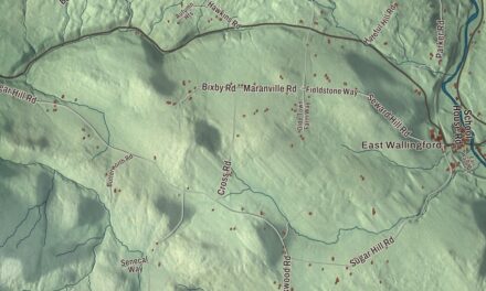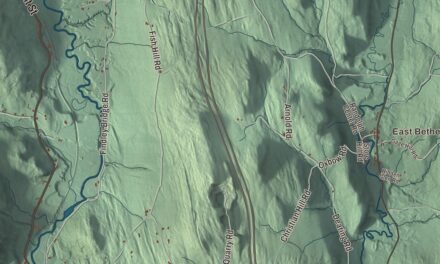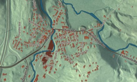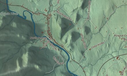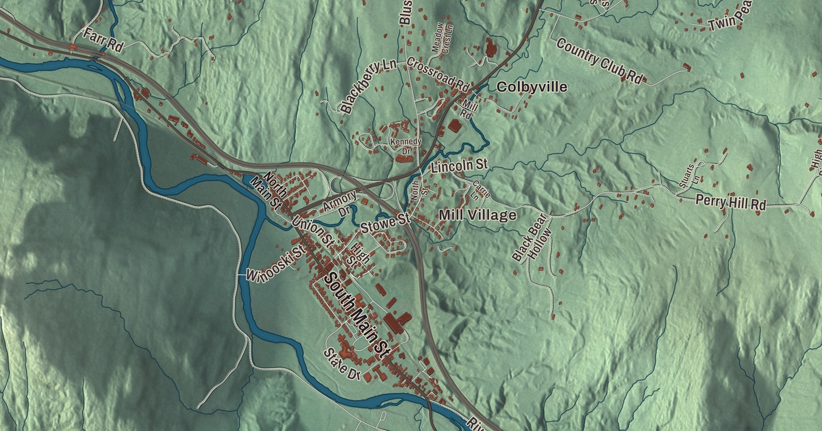
This aerial map of Waterbury, Vermont was created in 2026 using real geographic data to bring the town’s streets, buildings, neighborhoods, waterways, and terrain together in one highly detailed view. Look closer and you’ll pick out the familiar places that make Waterbury feel like home. Start with a street you know and see how it connects to the rest of the town. Click here to purchase a print of this map for your wall.
Explore an aerial view of Waterbury, Vermont
Start with Mill Village and Colbyville. Follow South Main Street, Waterbury-Stowe Road, Barnes Hill Road, Stowe Street, Union Street, and Ripley Road across town. Then look toward Waterbury Center.
Waterbury Reservoir is printed on the map, giving you another familiar place to find as you explore.
Waterbury dates to 1763. It is a town in Washington County. It remains a distinct town in Vermont today. Click the image below to see the area as it looked in 2026.
Take a closer look at the Waterbury map
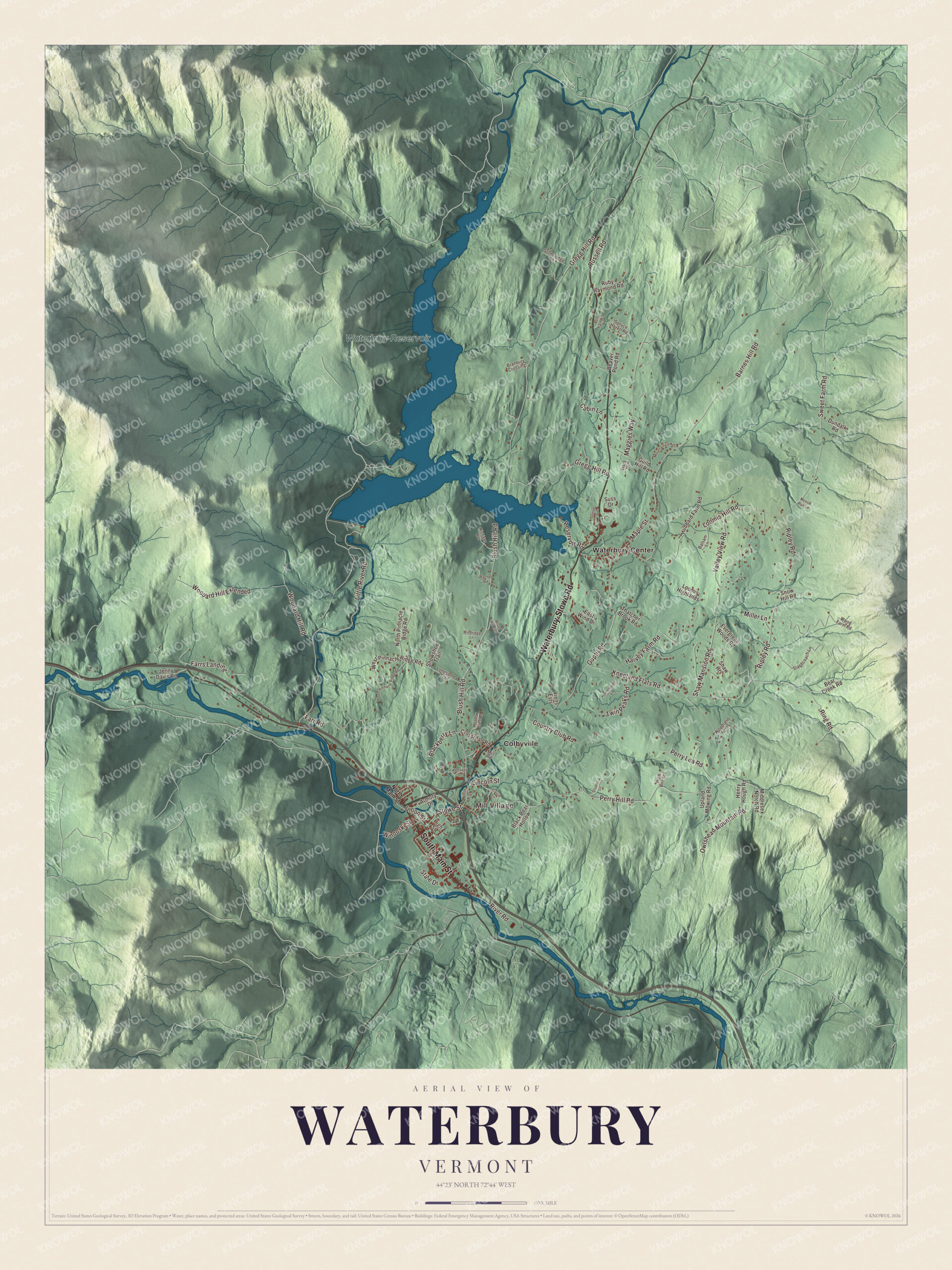
Click to explore a larger preview. The digital watermark does not appear on printed maps.
Names on this map
These names are printed on this map.
Places: Mill Village, Waterbury Reservoir, Colbyville and Waterbury Center.
Streets and roads: South Main Street, Waterbury-Stowe Road, Barnes Hill Road, Stowe Street, Union Street, Ripley Road, Sweet Farm Road, Ring Road, Gregg Hill Road, Little River Road, Perry Hill Road, Blush Hill Road.
More street names, A to Z
Armory Drive, Balsam Lane, Bear Creek Road, Beaver Pond Road, Black Bear Hollow, Blackberry Lane, Blush Hill Ests, Branbury Crossing, Burt Farm Lane, Cabin Lane, Carrie Lane, Country Club Road, Crossroad Road, Dundalk Road, East Wind Drive, Evergreen Woods Road, Farr Road, Farrs Landing, Guild Hill Road, Guptil Road, Harvey Farm Road, Henry Hough Road, High Birches, High Street, Homestead Lane, Hubbard Farm Road, Jenny Davis Road, Kennedy Drive, Kneeland Flats Road, Lincoln Street, Lonesome Trail, Loomis Highlands, Loomis Hill Road, Maggies Way, Maple Street, Meadow Crest Lane, Michigan Avenue, Middlesex Notch Road, Miller Lane, Mill Road, Moose Run Lane, Mountainview Drive, North Main Street, North Pinnacle Ridge Road, North Street, Owlshead Mountain Road, Perry Lea Road, Rachel Road, Reservoir Road, River Road, Ruby Raymond Road, Russell Road, Shaw Heights, Shaw Mansion Road, Snow Hill Road, Snowshoe Trail, South Pinnacle Ridge Road, Spruce Haven Road, Stagecoach Lane, State Drive, Stoneledge Lane, Stuarts Lane, Sunset Drive, Suss Drive, Thatcher Brook Road, Twin Peaks Road, Upland Mowing Road, Valley View Road, Viens Ests, Vista Drive, West Pinnacle Ridge Road, Windridge Lane, Winooski Street, Woodard Hill Extended, Woodard Hill Road, Wood Farm Road, Woodland Acres.
See it on a wall
The Waterbury map as a framed print. Swipe for more.


We designed the artwork at KNOWOL using Waterbury’s real streets, buildings, neighborhoods, waterways, terrain, town boundary, and building pattern. Then we chose the color, relief, lettering, and layout that make the map look great on the wall.
This detailed map of Waterbury makes an attractive addition to an office, library, or den and can help children explore the geography and history of the area. When you’re done exploring, click here to get your copy of the Waterbury, Vermont map.