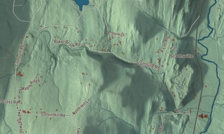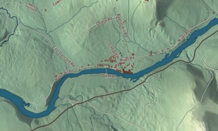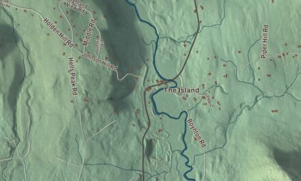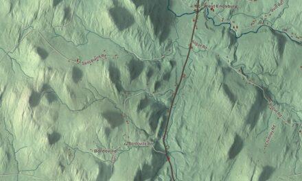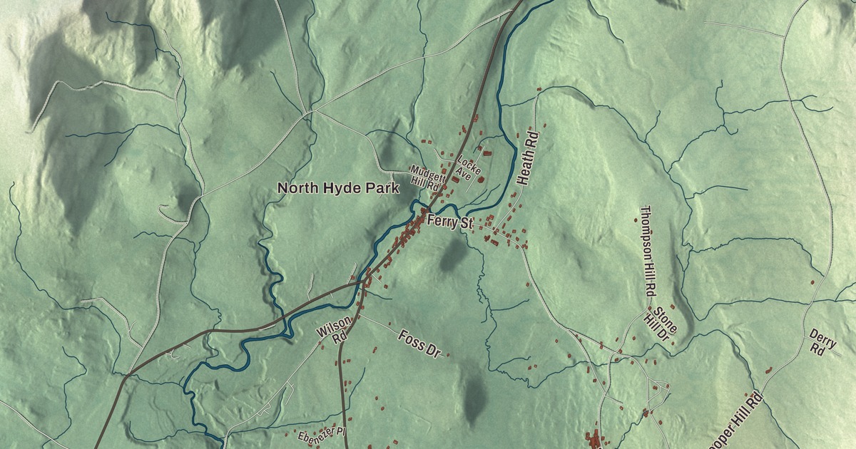
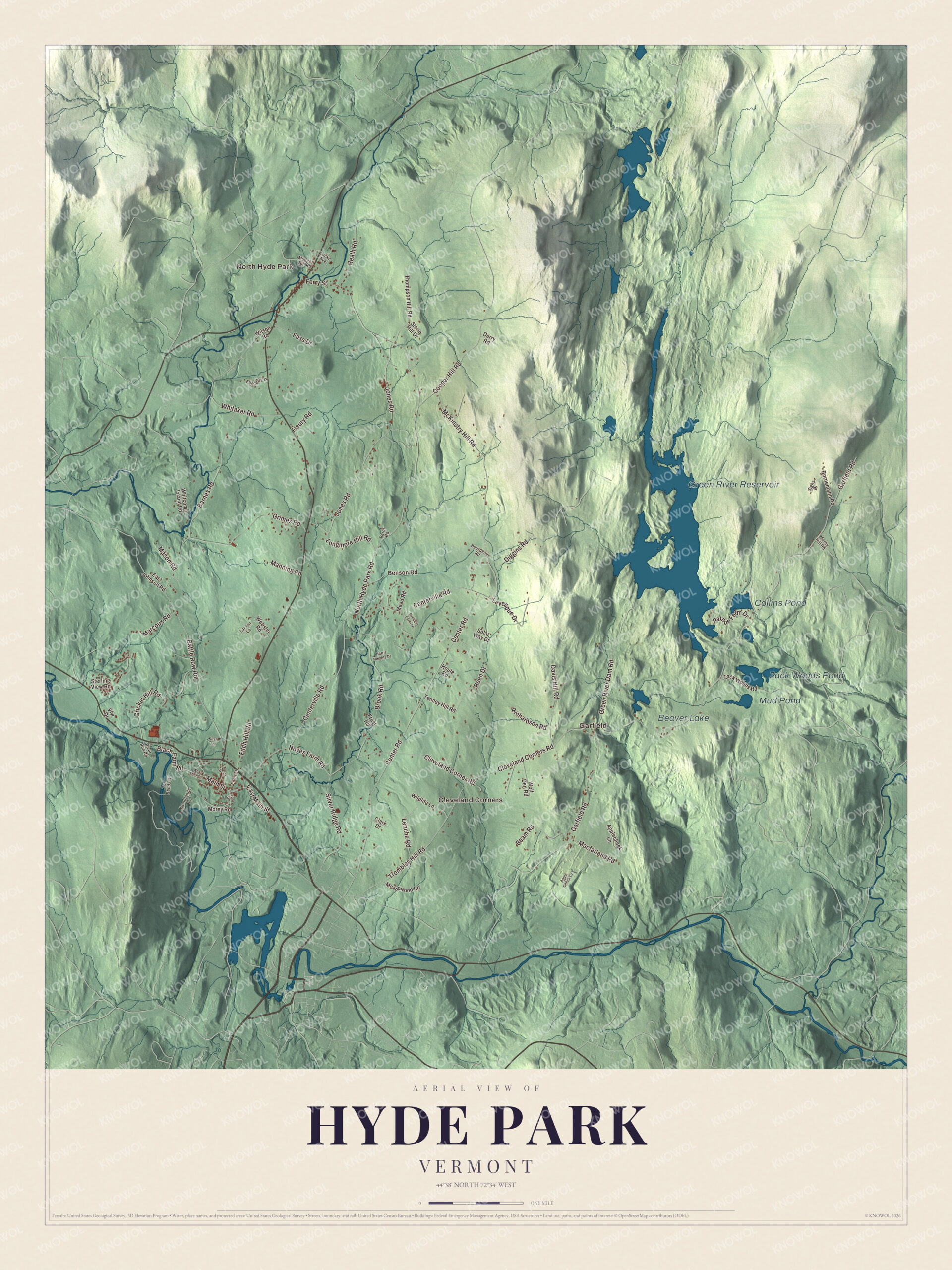
Hyde Park is the county seat, and in town that means Main Street, where the courthouse and its clock tower stand in the village. Out past the village, this map prints North Hyde Park, Cleveland Corners and Garfield, the Green River Reservoir and Zack Woods Pond, and roads such as McKinstry Hill Road, Noyes Farm Road and Centerville Road.
Hyde Park is a town in Lamoille County, Vermont.
KNOWOL made this map in 2026 from public survey data and gave it the look of an old county atlas, shading the hills from United States Geological Survey elevation data and drawing the roads and town line from the Census Bureau. The town covers 38.9 square miles in the east-central part of the county, northeast of the Lamoille River valley, and about 1.4 square miles of that area is water. Click here to purchase a print of this map for your wall.
The shire town
Vermont granted Hyde Park in November 1780 and chartered it on August 27, 1781. It takes its name from Captain Jedediah Hyde, a Revolutionary War veteran who was one of its early landowners. The town organized in March 1791 and belonged to Orleans County until Lamoille County was organized in 1836. Hyde Park was picked as the new county’s shire town, and its first courthouse went up that same year.
That first courthouse was lost in the village’s Great Fire of 1910, along with 17 other buildings, though the county’s records came through in fireproof safes. The courthouse that stands at 154 Main Street today was built in 1911 and 1912 to a design by the Burlington architect Zachary Taylor Austin. It’s a brick building with a tower, clock faces and a weathervane, and its page says its mix of Colonial Revival and Romanesque Revival isn’t seen in any of Vermont’s other county courthouses. The big courtroom upstairs has changed little since it was built, and the Lamoille County Courthouse has been on the National Register since 1996.
Click to explore a larger preview. The digital watermark does not appear on printed maps.
Names on this map
These names are printed on this map.
Places: North Hyde Park, Cleveland Corners, Garfield, Green River Reservoir, Zack Woods Pond, Collins Pond, Beaver Lake and Mud Pond.
Streets and roads: Main Street, McKinstry Hill Road, Noyes Farm Road, Garfield Road, North Hyde Park Road, Centerville Road, Center Road, Battle Row Road, Jones Road, Diggins Road, Cleveland Corner Road, Brook Road.
More street names, A to Z
Applecheek Lane, Apple Cheek Lane, Barnes Road, Beam Road, Benson Road, Black Farm Road, Bornemann Road, Bourdeau Road, Church Street, Clark Drive, Cleveland Corners Road, Cooper Hill Road, Cricket Hill Road, Davis Hill Road, Depot Street, Derry Road, East Johnson Road, East Main Street, Ebenezer Place, Eden Street, Ferry Street, Fitch Hill Road, Fleury Road, Foss Drive, Frost Road, Green River Dam Road, Grimes Road, Harris Heights Drive, Heath Road, Houle Road, Kristi Lane, Larson Lane, Leriche Road, Levesque Drive, Locke Avenue, Longmore Hill Road, Macfarland Road, Manning Road, Marcoux Road, Mason Road, Meadowood Road, Mead Road, Morey Hill Road, Morey Road, Mudgett Hill Road, Orchard Farm Lane, Parot Road, Patnoe Farm Drive, Reen Drive, Richardson Road, River Run Road, Sighs Drive, Silver Ridge Road, Solar Way Drive, Sterling View Road, Stone Hill Drive, Ten Bends Drive, Tenney Hill Road, Thompson Hill Road, Trombley Hill Road, Vfw Drive, Webster Road, West Main Street, Whitaker Road, Whitcomb Island Road, Wildlife Lane, Wilson Road, Wolf Den Road, Woodlands Lane, Zack Woods Road.
See it on a wall
The Hyde Park map as a framed print. Swipe for more.


People from Hyde Park
Carroll S. Page went to school at Lamoille Central Academy in Hyde Park and built a hide business there that became known as the largest calfskin dealer in the world. He served as governor of Vermont from 1890 to 1892 and as a United States senator from 1908 to 1923, then retired to Hyde Park, where he died in 1925. Two children of a Hyde Park farming family went on to make their names far from home. Anson P. K. Safford, born in Hyde Park, became the third governor of Arizona Territory, and his work building a public school system earned him the name “Father of the Arizona Public Schools.” His sister Mary J. Safford, also born in Hyde Park, volunteered as a relief worker in Cairo, Illinois, when the Civil War began and became known there as the “Cairo Angel.” After the war she became a physician, one of the first women gynecologists in the United States, and in 1875 one of the first women elected to the Boston School Committee.
Around the map
The village sits on a hill above the north bank of the Lamoille River, in the south of town. North Hyde Park is in the northwest corner, along the Gihon River, and Route 100 runs north through it toward the Newport area. Centerville Road crosses Centerville Brook near the middle of town. Up in the northeast corner, Garfield was a real village in the late 1800s, with a store, a school, two sawmills and a post office added in 1890. In 1922 Charles William Manning’s sawmill burned and he chose not to rebuild, and that cost Garfield many of its jobs. People moved away, the farms went back to woods, and the area is still thickly wooded today. Garfield is also the turnoff, coming from Morrisville, for Green River Reservoir State Park, about 5,500 acres around a 653-acre reservoir. Only human-powered boats and electric motors up to 5 mph are allowed on the water, and its 28 campsites can be reached only by boat.
On the map, start on Main Street, then follow North Hyde Park Road, Centerville Road, Garfield Road, McKinstry Hill Road and Noyes Farm Road. North Hyde Park, Cleveland Corners and Garfield are printed, and so are the Green River Reservoir, Zack Woods Pond, Collins Pond and Beaver Lake. Hyde Park dates to 1781.
This map of Hyde Park is made for everyone who calls Hyde Park home, and it shows the town as it looks today, from Main Street to the Green River Reservoir. Hang it in an office, library or den, or use it to teach children the geography and history of their town. It’s printed on museum quality archival paper. Zoom in on the preview above to explore the details, then click here to get your copy of the Hyde Park, Vermont map.

Sources