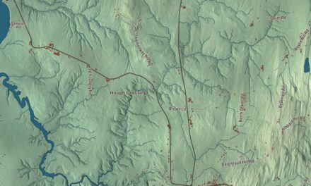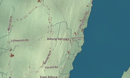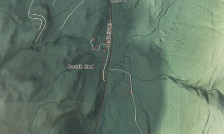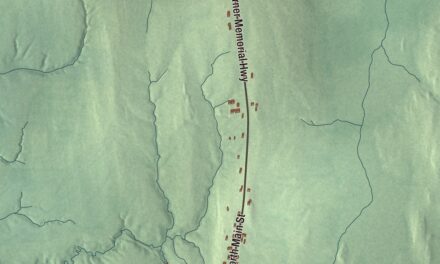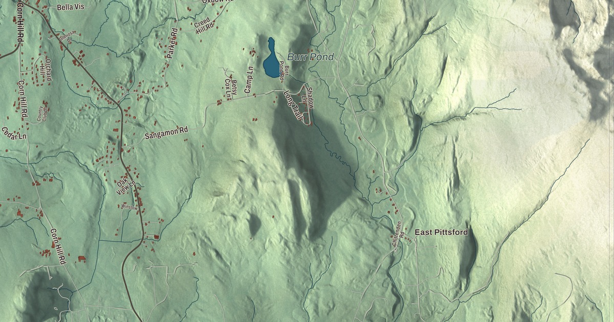
Pittsford’s village stands on high ground above Otter Creek, with Route 7 running through it on the old stage road between Rutland and Vergennes and four covered bridges within the town. This map prints Franklin Street, Fire Hill Road, Whipple Hollow Road, Corn Hill Road, West Creek Road and Goat Farm Road, with East Pittsford, Florence, Grangerville, Burr Pond and Smith Pond.
Pittsford is a town in Rutland County, Vermont.
KNOWOL made this map in 2026 from public survey data and gave it the look of an old county atlas, shading the hills from United States Geological Survey elevation data and drawing the roads and town line from the Census Bureau. The town covers 43.6 square miles, and 2,862 people lived here at the 2020 census. Click here to purchase a print of this map for your wall.
A frontier town on Otter Creek
New Hampshire granted Pittsford on October 12, 1761, and named it for William Pitt. Settlers came to stay in 1769, about 60 miles north of Bennington. The first were the half-brothers Benjamin and Gideon Cooley, and Benjamin went with Ethan Allen, Benedict Arnold and the Green Mountain Boys to capture Fort Ticonderoga on May 10, 1775. Jonathan Fassett represented the town in the legislature in 1778. Just before the Battle of Hubbardton on July 7, 1777, the people of Pittsford had to leave their homes; those who came back built Fort Mott that year on the east bank of Otter Creek, a picket fort named later for its commander, John Mott. A second fort, Fort Vengeance, went up about a mile north in 1780 under Major Ebenezer Allen with a garrison of 150 men, and took its name after one of its soldiers was killed nearby. A marble obelisk placed in 1873 marks the site on Route 7 near the Brandon line, which also holds the remains of one of Vermont’s oldest documented homesteads. Colonel Caleb Hopkins, born in Pittsford, later named Pittsford, New York, for his hometown.
Pittsford Green
The village center began to take shape around 1795, when a tavern opened, Israel Keith started an iron foundry nearby and Jeremiah Sheldon opened a marble quarry across Otter Creek. The village became a stagecoach stop on the road between Rutland and Vergennes, now Route 7, and the green took firmer shape when the Congregational Church went up in 1837 on a rise at its north end. The Pittsford Green Historic District runs south along Main Street to the corner of Elm and Arch Streets, where Route 7 turns sharply east. Five of its houses date to the 1790s, and one of only five brick buildings is the Romanesque Maclure Library of 1894 and 1895. By 1900 most of the area’s industries were in decline, with the marble quarries the notable exception. South of the village on Route 7 stands the brick Thomas H. Palmer House of 1832, home of a Scottish immigrant educator who became school superintendent here in 1828; his improvements drew notice across the state, and in the 1840s he was a leading force in updating the state’s education standards.
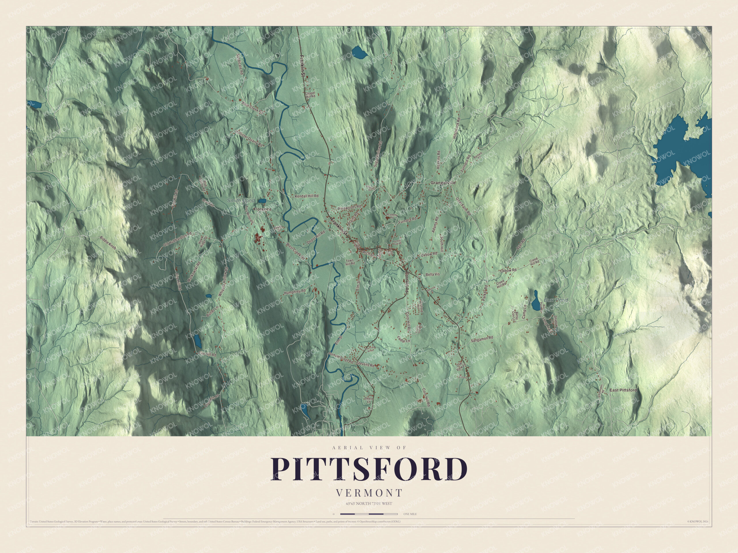
Click to explore a larger preview. The digital watermark does not appear on printed maps.
Names on this map
These names are printed on this map.
Places: East Pittsford, Burr Pond, Smith Pond, Florence and Grangerville.
Streets and roads: Franklin Street, Goat Farm Road, Corn Hill Road, West Creek Road, Fire Hill Road, Whipple Hollow Road, Furnace Road, Sugar Hollow Road, Oxbow Road, Sangamon Road, Plains Road, Elm Street.
More street names, A to Z
Academy Road, Adams Road, Ager Road, Allen Mills Road, Arch Street, Barnard Road, Bella Vis, Betsy Cox Lane, Biddie Knob, Block Road, Blue Quarry Road, Burr Pond Road, Butler Lane, Camp Lane, Cedar Lane, Chapel Hill Road, Chittenden Road, Country Club Drive, Creed Hill Road, Deere Lane, Deer Field Acres, Depot Hill Road, Field Avenue, Gloriosa Drive, Gorham Bridge Road, Haskins Road, Hawk Ridge Drive, Hitchcock Road, Hollister Quarry Road, Humphrey Road, Kendall Hill Road, Long Trail, Lovejoy Drive, Markowski Road, Oak View Lane, Old Hubbardton Road, Orchard Hill, Parker Road, Pinewoods Road, Pleasant Street, Randall Park Road, River Street, Shadow Lane, South Hill, Stevens Road, Syndicate Road, Town Hill Road, Troy Minerals, Village Green, Winslow.
See it on a wall
The Pittsford map as a framed print. Swipe for more.


Bridges of wood and stone
Pittsford has four 19th-century covered bridges. The Cooley Covered Bridge of 1849 carries Elm Street over Furnace Brook about a mile south of the village; it was built by Nicholas M. Powers, who grew up on a farm nearby and is described on its page as the state’s best-known builder of covered bridges. The Depot Covered Bridge, built about 1840, carries Depot Hill Road over Otter Creek west of the village. The Hammond Covered Bridge was built over Otter Creek in 1842 by Asa Nourse. In 1927 a flood swept it 1.5 miles downstream without breaking it, and it was floated back on barrels; it’s now called “the bridge that went on a voyage.” It’s now closed to cars and owned by the state. On Route 7 east of the village, the stone Colburn Bridge of 1899 crosses the gorge of Sugar Hollow Brook, a gift of Anne Wagner Boardman, and was one of seventeen documented masonry arch bridges in Vermont when it was listed in 1990.
Pittsford people
Frederic Williams Hopkins, born here in 1806, served as Vermont’s adjutant and inspector general from 1837 to 1852. Thomas E. Drew grew up in Florence, the village in the town that got its post office in 1882, and later became adjutant general of Vermont. The actor Jake Lacy was raised in Pittsford and went on to roles in The Office and The White Lotus, which earned him an Emmy nomination.
On the map, start with East Pittsford and Florence, follow Franklin Street, Goat Farm Road, Corn Hill Road, West Creek Road, Fire Hill Road and Whipple Hollow Road across town, and look out toward Grangerville. Burr Pond and Smith Pond are printed too. Pittsford dates to 1761.
This map of Pittsford is made for everyone who calls Pittsford home, and it shows the town as it looks today, from the green on Route 7 out to Burr Pond and Smith Pond. Hang it in an office, library or den, or use it to teach children the geography and history of their town. It’s printed on museum quality archival paper. Zoom in on the preview above to explore the details, then click here to get your copy of the Pittsford, Vermont map.

Sources
- Pittsford, Vermont, Wikipedia
- Town histories and representatives, P towns, Vermont Legislature
- Pittsford (CDP), Vermont, Wikipedia
- Fort Mott (Vermont), Wikipedia
- Fort Vengeance Monument Site, Wikipedia
- Pittsford, New York, Wikipedia
- Pittsford Green Historic District, Wikipedia
- Thomas H. Palmer House, Wikipedia
- Cooley Covered Bridge, Wikipedia
- Depot Covered Bridge, Wikipedia
- Hammond Covered Bridge, Wikipedia
- Colburn Bridge, Wikipedia
- Frederic Williams Hopkins, Wikipedia
- Thomas E. Drew, Wikipedia
- Florence, Vermont, Wikipedia
- Jake Lacy, Wikipedia