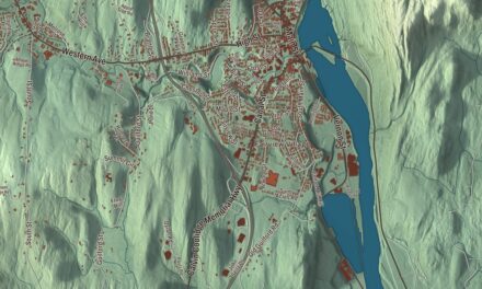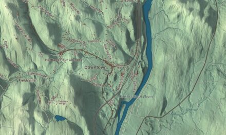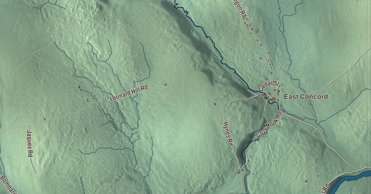
Samuel Read Hall, who opened America’s first school for training teachers here in Concord, believed children should learn geography by starting with their own town and working outward. A town map is a good place to start. This one prints Concord’s settlements, East Concord, North Concord, Concord Corner, Ralston Corner and Texas, the water of Miles Pond and Shadow Lake, and Main Street, East Main Street, West Main Street, North Concord Road, East Concord Road and Miles Pond Road.
Concord is the southernmost town in Essex County, Vermont.
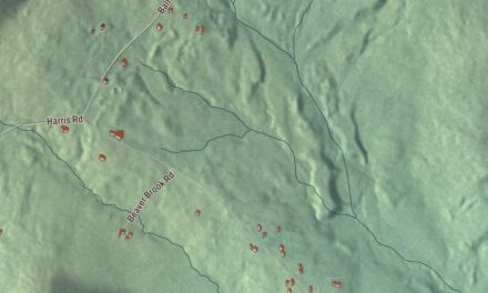
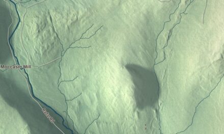
KNOWOL made this map in 2026 from public survey data and gave it the look of an old county atlas. The relief is shaded from United States Geological Survey elevation data, and the roads and the town line come from the Census Bureau. Concord covers 53.5 square miles, about 2.2 of them water, and it had 1,141 people at the 2020 census. Click here to purchase a print of this map for your wall.
Named for Concord, Massachusetts
Concord dates to 1781. Vermont granted the town in 1780 and chartered it on September 15, 1781, according to the Vermont Legislature’s town list, to Reuben Jones and others from Rockingham, Vermont. It took its name from Concord, Massachusetts. The first settlers were a fur trader named Simon Willard and two other men, and the town organized in 1794.
The town’s southern edge is the Connecticut River, the state line with New Hampshire, with Dalton and Littleton on the other side, though no bridge crosses the river from Concord. Much of Concord’s water is in Moore Reservoir, an impoundment of the Connecticut made by the Moore Dam in 1956. U.S. Route 2 runs across town from east to west, linking St. Johnsbury with Lancaster, New Hampshire, and the main village sits along it beside the Moose River, eight miles from St. Johnsbury.
The first normal school
In 1823 Samuel Read Hall started the first normal school in the United States in Concord: a school for training teachers. Hall had grown up in Guildhall, Vermont, was schooled at home and never attended college. He ran the Concord school until 1830. Among his books was The Child’s Assistant to a Knowledge of the Geography and History of Vermont, published in 1827. His 1829 Lectures on School Keeping listed the problems in American schools of the day, from poorly paid teachers to the lack of a simple globe. He’s credited with inventing the blackboard and the blackboard eraser. He went on to lead the second teacher training program in the country, at Andover, Massachusetts, and to help found the American Institute of Instruction.
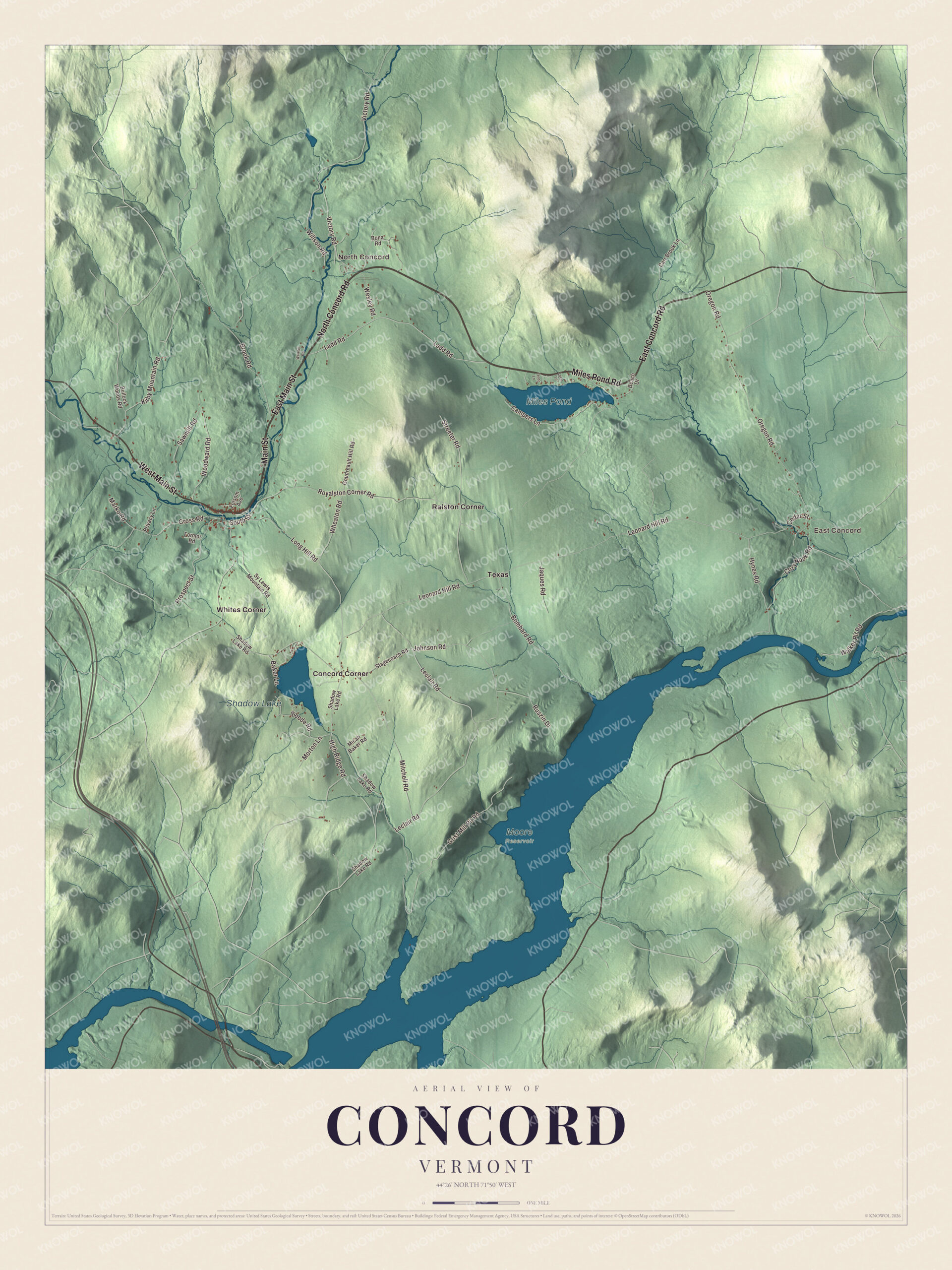
Click to explore a larger preview. The digital watermark does not appear on printed maps.
Names on this map
These names are printed on this map.
Places: East Concord, North Concord, Miles Pond, Shadow Lake, Moore Reservoir, Concord Corner, Ralston Corner, Texas and Whites Corner.
Streets and roads: North Concord Road, Miles Pond Road, Main Street, East Main Street, East Concord Road, West Main Street, Ladd Road, Woodward Road, Beede Road, High Ridge Road, Royalston Corner Road, Victory Road.
More street names, A to Z
Baker Lane, Beach Drive, Bombard Road, Bona Road, Brook Road, Bullock Woods Road, Campers Lane, Carr Brook Lane, Cedar Street, Cozy Nook Road, Cross Road, Folsom Avenue, Formor Road, Goudreault Hill Road, Grist Mill Pit Road, Hynes Road, Jaques Road, Johnson Road, Kirby Mountain Road, Leclair Road, Lento Lane, Leonard Hill Road, Long Hill Road, Loon Lane, Marko Road, Micah Baker Road, Mitchell Road, Morton Lane, Oregon Road, Privacy Lane, Prospect Street, Ruszin Drive, Sawmill Road, Shadow Lake Road, South Street, Stagecoach Road, Streeter Road, Sy Lewis Mountain Road, Walker Pit Road, Wendel Road, Wesley Road, Wheaton Road, Willson Road.
See it on a wall
The Concord map as a framed print. Swipe for more.


Concord still remembers him on its own map. Shadow Lake in the southwest of town was once formally called Hall’s Pond, and Halls Brook still carries his name. The town ran its own high school until 2015 and now keeps a school for kindergarten through eighth grade.
Around the villages
The town page sets the villages out like points on a compass: Concord in the west, North Concord in the north, Miles Pond in the east, East Concord in the southeast and Concord Corner in the southwest. Miles Pond is the largest body of water in town after the reservoir. On the map, find Main Street, West Main Street and East Main Street, then North Concord Road, East Concord Road and Miles Pond Road. Ralston Corner and Texas are printed on the map as well.
Hang this map of Concord in an office, library or den, or use it to teach children the geography and history of their town, the way Samuel Read Hall would have. It’s made for everyone who calls Concord home and shows the town as it looks today, from Shadow Lake to Miles Pond. KNOWOL created it in 2026, and it’s printed on museum quality archival paper. Zoom in on the preview above to explore the details, then click here to get your copy of the Concord, Vermont map.

Sources