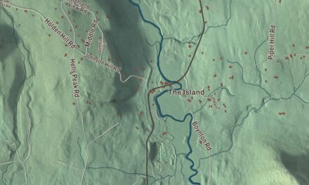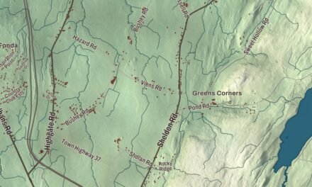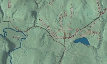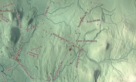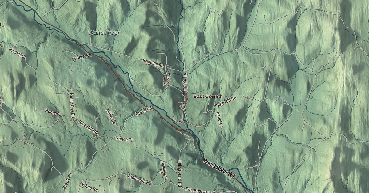
First, the name: in Vermont it’s said kuh-RINTH, with the weight on the second syllable. Corinth is a town of seven villages, and this map prints East Corinth, West Corinth, South Corinth, Corinth Corners and Cookville, as well as East Orange, the Waits River and the South Branch Waits River, and Waits River Road, Chelsea Road, Center Road, Goose Green Road, Claflin Road and Ryder Road.
Corinth is a town in Orange County, Vermont.
KNOWOL made this map in 2026 from public survey data and gave it the feel of an old county atlas. The hills are shaded from United States Geological Survey elevation data, and the roads and the town line come from the Census Bureau. Corinth covers 48.5 square miles, nearly all of it land, and it had 1,455 people at the 2020 census. Click here to purchase a print of this map for your wall.
Two grants and seven villages
Corinth dates to 1764. New Hampshire granted it on February 4 of that year, and New York issued a grant of its own in 1772. The town organized in 1781. Its seven villages are East Corinth, West Corinth, South Corinth, Corinth Center, Corinth Corners, Cookville and Goose Green, and in town you’ll still find a general store, a post office, a doctor’s office, a library and a ball field.
The Waits River, a 24.5-mile tributary of the Connecticut, runs through the northeastern part of town. Just south of East Corinth it picks up the Tabor Branch, which comes down from Topsham through the village. The South Branch Waits River flows east out of Corinth and joins the main river in Bradford.
Alexander Twilight’s boyhood
The Twilight family came to Corinth from Bradford on November 28, 1798, and the town’s history records Ichabod and Mary Twilight as the first Black settlers in Corinth, where they bought property. Ichabod was a veteran of the Revolutionary War. Their son Alexander, born in Bradford in 1795, went to work for a neighboring farmer in Corinth at about the age of eight. He grew up to be recognized as the first African American to earn a bachelor’s degree from an American college, at Middlebury in 1823. In 1836 he became the first African American elected to a state legislature, in the Vermont House, and in Brownington he designed and built Athenian Hall, the first granite public building in Vermont.
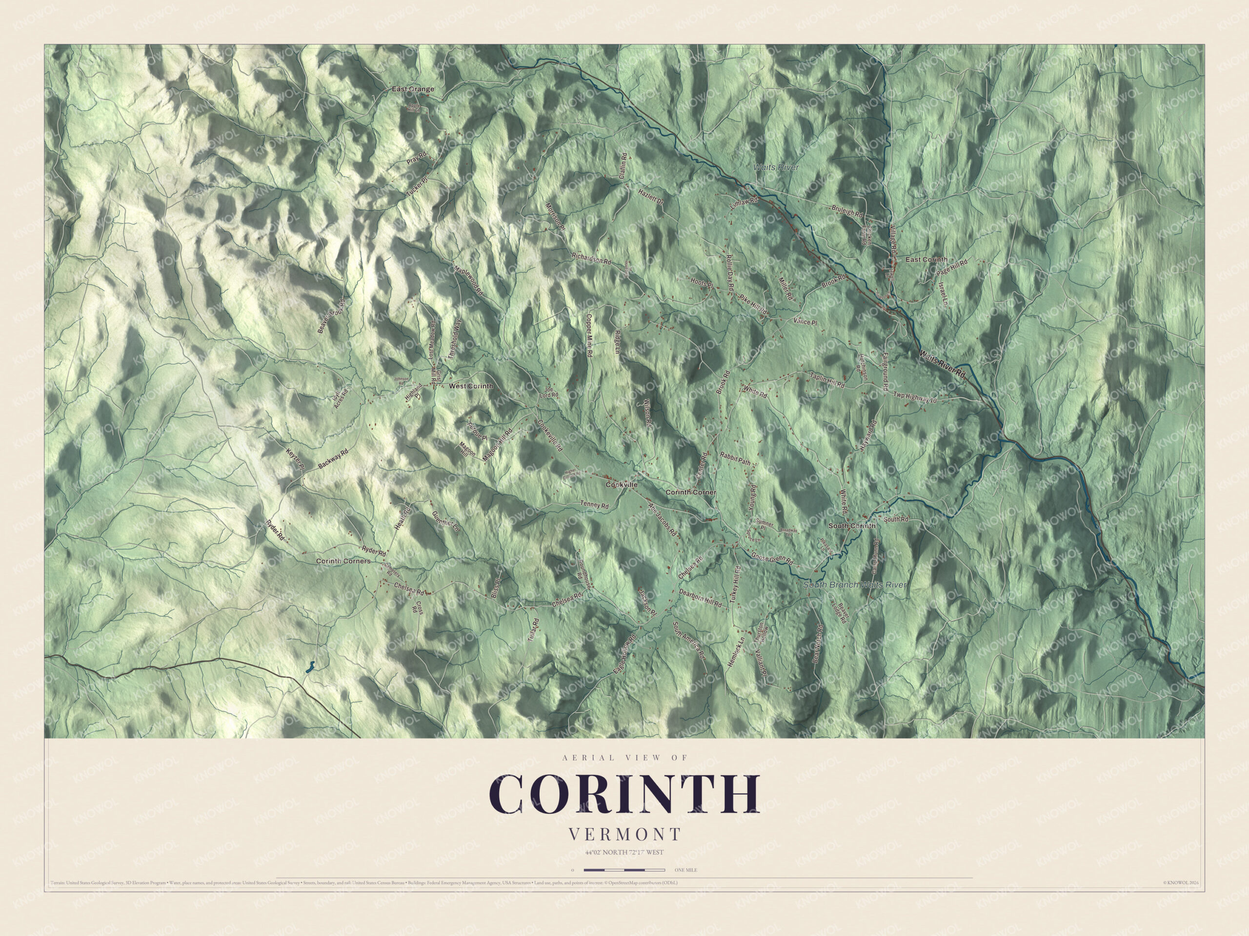
Click to explore a larger preview. The digital watermark does not appear on printed maps.
Names on this map
These names are printed on this map.
Places: East Corinth, Corinth Corners, Waits River, South Branch Waits River, Cookville, Corinth Corner, East Orange, South Corinth and West Corinth.
Streets and roads: Waits River Road, Ryder Road, Claflin Road, Chelsea Road, Center Road, Goose Green Road, Tullar Road, Keyzer Place, Guenther Lane, Cookeville Road, Maplewood Road, Richardson Road.
More street names, A to Z
Abe Jacobs Road, Apple Hill Lane, Backway Road, Bear Notch Road, Beaver Brook Road, Beaver Lodge Road, Bliss Place, Broadway Terrace, Brook Road, Bruleigh Road, Camp Munn Road, Carpenter Place, Cemetery Road, Chicken Farm Road, Copper Mine Road, Cross Road, Dearborn Hill Road, Eagle Hollow Road, Fairground Road, Grist Mill Road, Hayward Road, Hazlett Drive, Heath Road, Hemlock Lane, Higher Ground Road, Highland Place, Hoots Place, Hutchinson Road, Idyll Acres Road, Israel Lane, Jackson Place, Jewell Lane, Joe Lord Road, Johnson Road, Limlaw Road, Lost Meadow Road, Magoon Hill, Magoon Hill Road, Miller Road, Morrison Place, Page Hill Road, Perdue Place, Pike Hill Road, Pleasant Lane, Pray Road, Rabbit Path, Ridge Lane, Rollie Day Road, Roundhouse Road, South America Road, South Road, Spruce Lane, Sumner Place, Taplin Hill Road, Tenney Road, Threshold Way, Thurston Hollow, Tillotson Lane, Tucker Place, Turkey Hill Road, Twp Highway 10, Valliant Place, Vance Place, Village Road, White Road, Wilson Road, Young Road.
See it on a wall
The Corinth map as a framed print. Swipe for more.


East Corinth in the movies
If East Corinth looks familiar, you may have seen it on screen. All the outdoor scenes of Tim Burton’s Beetlejuice (1988) were filmed there, standing in for the fictional village of Winter River, Connecticut, and the sequel released in 2024 was filmed there too.
Corinth has been home to some remarkable people. Patricia Neway, the soprano who won a Tony Award in 1960 for creating the role of the Mother Abbess in the original Broadway production of The Sound of Music, retired to Corinth and lived there for the rest of her life. The town also counts Tania Aebi among its own. In 1987 she finished a solo voyage around the world in a 26-foot sailboat, becoming the first American woman, and at the time the youngest person, to sail around the globe.
On the map, start in East Corinth with Waits River Road, then pick up Chelsea Road, Center Road, Claflin Road and Ryder Road. Goose Green Road shares its name with one of the seven villages, and Corinth Corners, Cookville, South Corinth and West Corinth are all printed on the map.
Hang this map of Corinth in an office, library or den, or use it to teach children the geography and history of a town of seven villages. It’s made for everyone who calls Corinth home and shows the town as it looks today, from East Corinth to West Corinth. KNOWOL created it in 2026, and it’s printed on museum quality archival paper. Zoom in on the preview above to explore the details, then click here to get your copy of the Corinth, Vermont map.

Sources