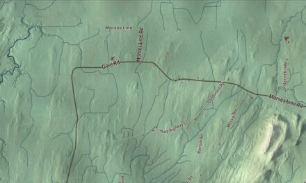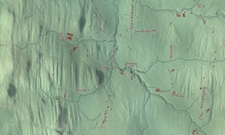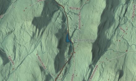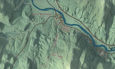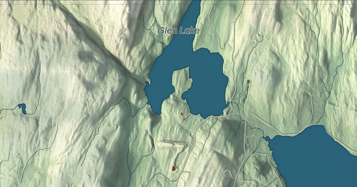
In Fair Haven, the big oval green on Main Street sits at the heart of town, and the town’s slate and marble are still there to see in the buildings around it. This map prints Main Street and South Main Street, Prospect Street, Washington Street, Capitol Hill Road and Scotch Hill Road, along with Glen Lake, Inman Pond and Old Marsh Pond.
Fair Haven is a town in Rutland County, Vermont.
KNOWOL made this map in 2026 from public survey data and gave it the look of an old county atlas. The hills are shaded from United States Geological Survey elevation data, and the streets and town line come from the Census Bureau. Fair Haven covers 18.1 square miles on the New York border, drained by the Poultney and Castleton rivers, and it had 2,736 people at the 2020 census. Click here to purchase a print of this map for your wall.
Matthew Lyon’s town
Vermont chartered Fair Haven on October 27, 1779, to Ebenezer Allen and 76 associates. The town at first included West Haven, which was set off on its own on October 20, 1792. In 1783 Colonel Matthew Lyon, an Irish-born printer and soldier, came to Fair Haven and began building mills at the falls on the Castleton River: a gristmill, a sawmill, a paper mill and a forge. He gave the land that’s now the town green, and he published a newspaper here, later called the Fair Haven Gazette. In 1794 he sold its press to two men from Rutland, who used it to start the Rutland Herald. Lyon represented the town in the legislature, beginning in 1783, the year Fair Haven organized.
Lyon went on to Congress in 1797. Convicted in 1798 under the Sedition Act for his writing against the government, he was sentenced to four months in a jail cell in Vergennes and won re-election to Congress from inside it; his biography calls him the only person ever elected to Congress while in jail. His son Chittenden Lyon, born in Fair Haven in 1787, went to school here before the family moved to Kentucky, where he too served in Congress. James Witherell, a lawyer who settled in Fair Haven in 1789, later served as a United States representative and as a judge of the supreme court of the Michigan Territory.
Slate, marble and the railroad
By 1859 Fair Haven was a busy mill town, with a marble mill, a rolling mill, a nail factory, a paper mill making wallpaper, three sawmills and a run of shops. Quarrying and cutting slate began in 1846, and the quarries were believed at the time to be inexhaustible. Fair Haven slate went to cities along the Atlantic coast and out West, and some of it became the framed, book-sized writing slates that schoolchildren used. The Rutland and Whitehall Railroad arrived in 1848, and the marble trade grew with it.
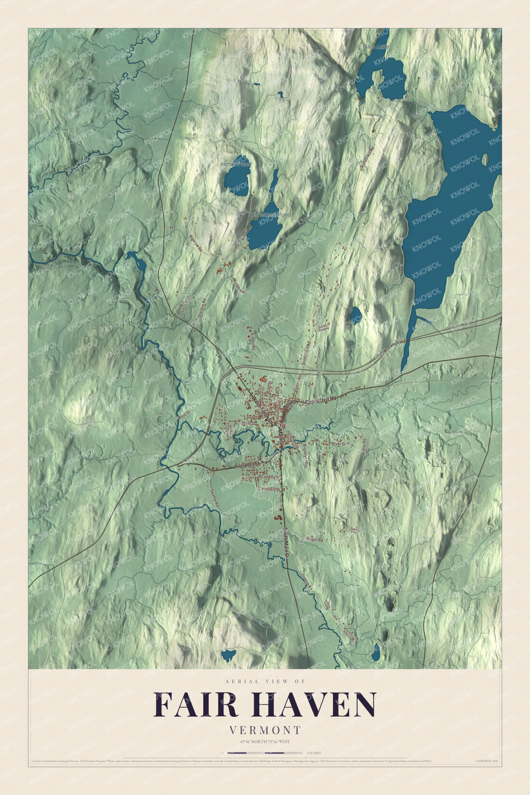
Click to explore a larger preview. The digital watermark does not appear on printed maps.
Names on this map
These names are printed on this map.
Places: Glen Lake, Old Marsh Pond and Inman Pond.
Streets and roads: Main Street, Prospect Street, South Main Street, Washington Street, Capitol Hill Road, Scotch Hill Road, Dutton Avenue, West Street, Carnarvon Street, Bigelow Road, Swamp Road, Greene Road.
More street names, A to Z
Academy Street, Airport Road, Appletree Lane, Bolger Road, Brooklyn Heights, Cemetery Street, Cottage Street, Depot Street, Genier Farm Road, Grape Street, Griffith Pond Road, Inman Pond Road, Lee Avenue, Mahar Road, Mechanic Street, Montgiven Avenue, Munger Road, North Main Street, Pine Street, River Street, Sawmill Road, Sharon Drive, Sheldon Road, Taconic View Lane, Third Street, Troubles End Lane.
See it on a wall
The Fair Haven map as a framed print. Swipe for more.


Most of the buildings around the green date from that time. The Fair Haven Green Historic District takes in the green, bounded by Main Street and Park Place, and the brick commercial blocks along Main Street just south of it. Two marble houses face the green, and so do the neoclassical public library of 1906, the Gothic Methodist church of 1877 with its slate roof and trim, and the Romanesque Baptist church built from 1870 to 1873. About a mile south on South Main Street, the Asahel Kidder House is a fine Greek Revival farmhouse built about 1843 by a prosperous sheep farmer, and it later became the home of Maplewood Dairy.
Fair Haven has no real mayor, but it holds a ceremonial mayoral election open to pets to raise money for the elementary school. In 2020 the voters picked Murfee, a Cavalier King Charles Spaniel, out of eighteen candidates. On the map, follow Main Street, South Main Street, Prospect Street and Washington Street, then Capitol Hill Road and Scotch Hill Road. Glen Lake, Old Marsh Pond and Inman Pond are all labeled on the map.
This map of Fair Haven is made for everyone who calls Fair Haven home and shows the town as it looks today, from the green to Glen Lake. Hang it in an office, library or den, or use it to teach children the geography and history of the slate town on the Castleton River. KNOWOL created it in 2026, and it’s printed on museum quality archival paper. Zoom in on the preview above to explore the details, then click here to get your copy of the Fair Haven, Vermont map.

Sources