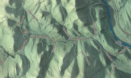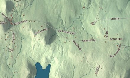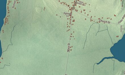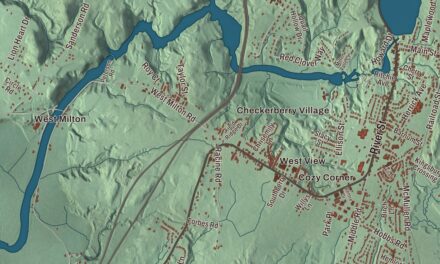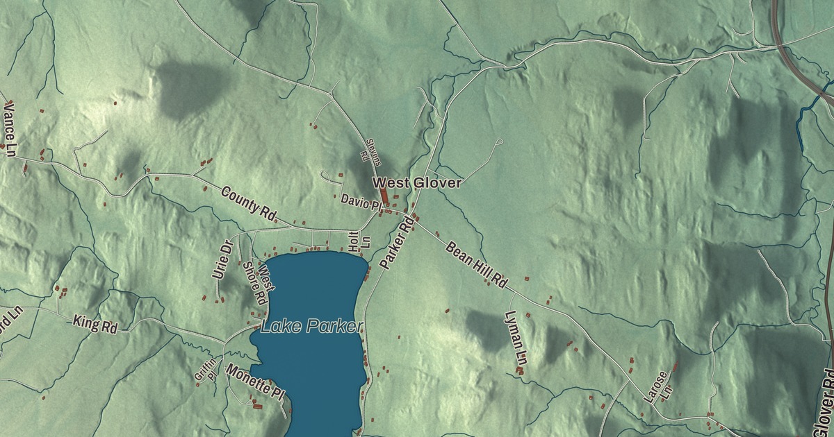
Glover is a hill town of lakes and ponds in the Northeast Kingdom, with two villages, Glover and West Glover, and the home farm of the Bread and Puppet Theater. This map prints West Glover, Lake Parker, Shadow Lake and Daniels Pond, along with Glover Road, Dry Pond Road, Heights Road, Bean Hill Road, County Road and Phillips Road.
Glover is a town in Orleans County, Vermont.
KNOWOL made this map in 2026 from public survey data and gave it the style of an old county atlas, with the hills shaded from United States Geological Survey elevation data and the roads and town line from the Census Bureau. Glover’s surface is uneven, all hills and valleys, rising to 2,258 feet at the Black Hills in the south of town, and Vermont Route 16 runs through it. Click here to purchase a print of this map for your wall.
General Glover’s town
The town is named for Brigadier General John Glover, who served in the Revolutionary War and was the town’s chief proprietor. Vermont granted it on June 27, 1781, chartered it on November 20, 1783, and the town organized in 1799, according to the Vermont Legislature. Water leaves Glover both ways: north by branches of the Barton River, and south by the Passumpsic, Lamoille and Black Rivers, which all begin here.
On June 6, 1810, in a dry summer, at the request of gristmill owner Arron Willson, some 60 men and boys tried to cut a new outlet from Long Pond to the low Barton River, and the banks gave way. The whole pond rushed down the valley. A laborer named Spencer Chamberlain ran ahead of the flood and reached the mill in time to save Willson’s wife, and no one died. The empty basin has been called Runaway Pond ever since, and every Glover Day, the last Saturday of July, runners race 5.5 miles along the path of the flood in Chamberlain’s honor.
Near the outlet of Shadow Lake, a settlement called Slab City lived on logging from about the 1820s to the 1930s, with three sawmills, a lime kiln, a butter tub factory, a cider mill, a one-room school, a post office and a church. Shadow Lake itself has had several names: first Chambers Pond, then Stone Pond around 1822, and its present name since 1922. The Abenaki called it Pekdabowk, Smoke Pond. Lake Parker, in the northwest corner of West Glover, covers 239 acres and drains by Roaring Brook to the Barton River.
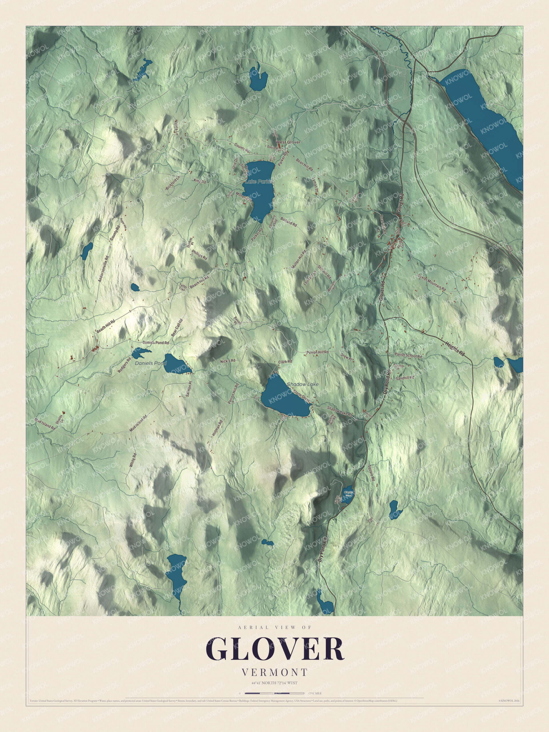
Click to explore a larger preview. The digital watermark does not appear on printed maps.
Names on this map
These names are printed on this map.
Places: West Glover, Lake Parker, Shadow Lake, Daniels Pond and Clarks Pond.
Streets and roads: Glover Road, Dry Pond Road, Heights Road, Bean Hill Road, County Road, Phillips Road, Hinman Road, Perron Hill Road, Shadow Lake Road, Mud Island Road, Andersonville Road, Parker Road.
More street names, A to Z
Apple Lane, Auger Heights, Basom Place, Beach Hill Road, Bear Call Road, Bickford Lane, Borland Road, Cemetery Loop, Clark Road, Daniels Pond Road, Davio Place, Deer Lane, Dexter Mountain Road, Drew Place, Duck Pond Road, Dunbar Place, Dwinell Drive, Griffin Place, Holt Lane, Inlet Cv, King Road, Larose Lane, Leland Lane, Leonard Lane, Lyman Lane, Merriam Place, Monette Place, Mullen Hill Road, Nick's Road, Page Place, Parish School Road, Quarry Hill Road, Rodgers Road, Salmon Place, Sandhill Road, Shields Lane, Square Road, Stevens Road, Still Hill Road, Stone Shore, Talbot Lane, Telfer Trail, Tildys Trail, Trucott Place, Urie Drive, Vance Lane, West Shore Road, White Road.
See it on a wall
The Glover map as a framed print. Swipe for more.


Puppets, museums and neighbors
Peter and Elka Schumann founded the Bread and Puppet Theater in New York City in 1963. The company moved to Vermont in 1970, first to Goddard College in Plainfield and then to a farm in Glover, where it still lives and performs. The farm holds a printshop, performance spaces and a large museum showing more than four decades of the company’s work. Until 1998 it staged its annual pageant and circus, Our Domestic Resurrection Circus, in a natural amphitheater on the grounds, and in the 1990s those weekends drew crowds in the tens of thousands.
Glover has two more museums. The Glover Historical Society keeps one, and Clare Dolan founded the Museum of Everyday Life in 2011 in an old barn, where visitors switch the lights on and off themselves and pay by donation. Charles Clark Jamieson, born in Glover in 1866, was an Army officer and engineer who rose to brigadier general in World War I, and John S. Rodgers, raised on his family’s dairy farm in Glover and still living here, became lieutenant governor of Vermont in 2025.
On the map, start in West Glover and follow Glover Road and County Road, then wander Dry Pond Road, Heights Road, Bean Hill Road and Phillips Road through the hills. Lake Parker, Shadow Lake and Daniels Pond are all labeled. Glover dates to 1783.
This map of Glover is made for everyone who calls Glover home, and it shows the town as it looks today, from Lake Parker to Shadow Lake. Hang it in an office, library or den, or use it to teach children the geography and history of their town. It’s printed on museum quality archival paper. Zoom in on the preview above to explore the details, then click here to get your copy of the Glover, Vermont map.

Sources