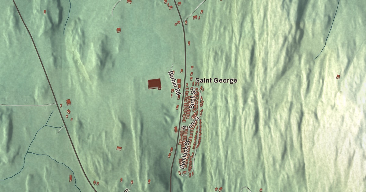
St. George sits about ten miles southeast of Burlington, a small town tucked between Shelburne, Williston and Hinesburg. Its map is close enough to read street by street, and it prints Saint George with Forest Road, Willow Brook Lane, Hemlock Street, Mount Pritchard Lane, Ayer Road and Leeway Circle.
St. George is a town in Chittenden County, Vermont.
KNOWOL made this map in 2026 from public survey data and gave it the look of an old county atlas, shading the hills from United States Geological Survey elevation data and drawing the streets and town line from the Census Bureau. The town covers 3.6 square miles, all of it land, and 794 people lived here at the 2020 census. Click here to purchase a print of this map for your wall.
The smallest town by land
New Hampshire granted St. George on August 18, 1763, and the town takes its name from the patron saint of England. The town didn’t organize until March 9, 1813, when Lewis Higbee went to the legislature as its first representative. Reuben Lockwood followed him in 1814 and returned for several more terms through 1842. No town in Vermont has a smaller land area than St. George, though three incorporated cities, St. Albans, Vergennes and Winooski, are smaller still. Shelburne lies to the west, Williston to the northeast and Hinesburg to the south, and the Census Bureau counts the southwest part of town as the St. George census-designated place. Jean Ankeney, a teacher and public health nurse, moved to St. George in 1975 and served in the Vermont Senate from 1993 to 2002.
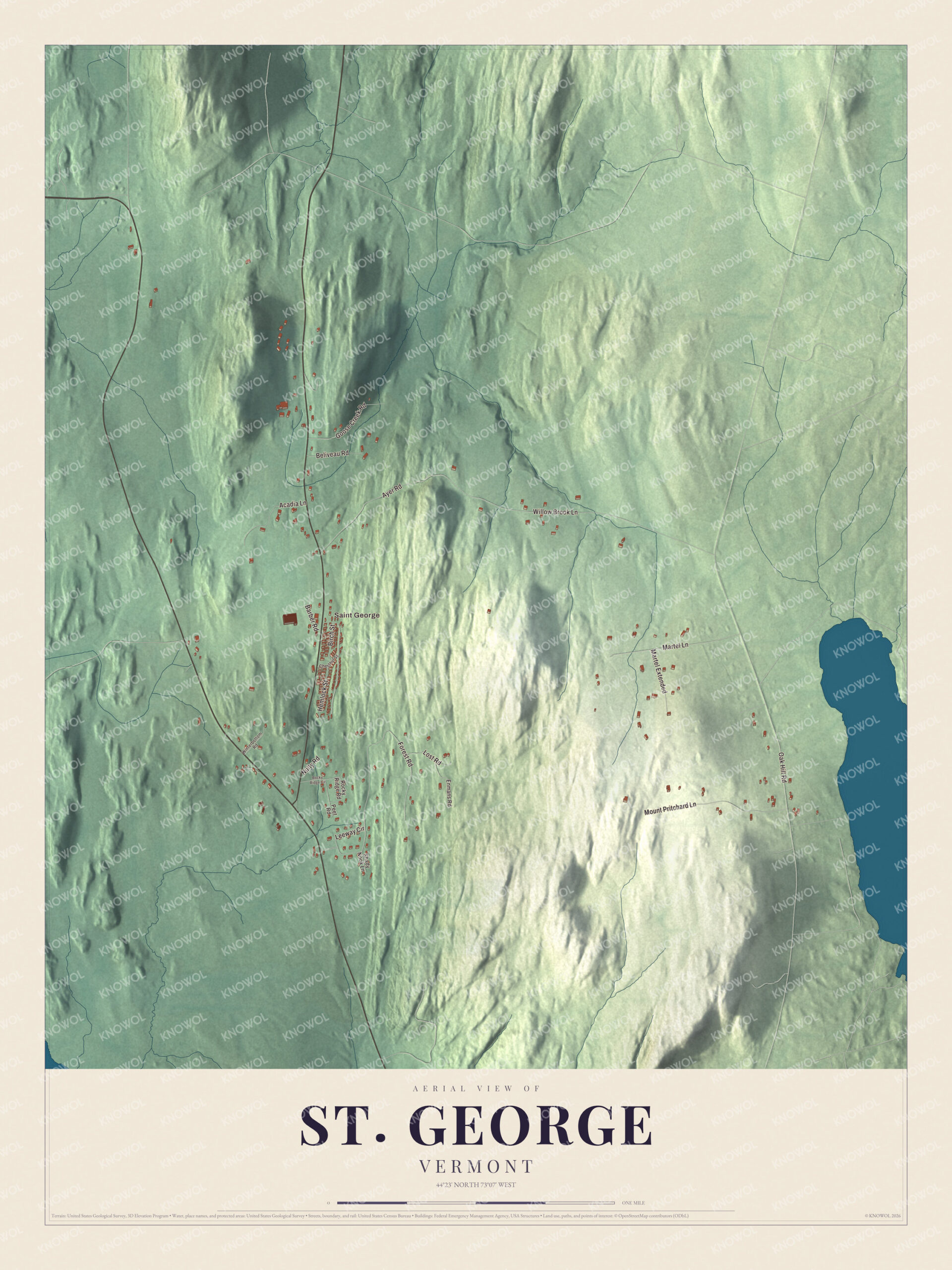
Click to explore a larger preview. The digital watermark does not appear on printed maps.
Names on this map
These names are printed on this map.
Places: Saint George.
Streets and roads: Forest Road, Willow Brook Lane, Hemlock Street, Mount Pritchard Lane, Ayer Road, Leeway Circle, Martel Lane, Goose Creek Road, Acadia Lane, Oak Hill Road, Martel Extended, Beliveau Road.
More street names, A to Z
Barber Road, Birch Street, Chestnut Street, Enmans Road, Lost Road, Nulty Road, Peet Road, Rocky Ridge Circle, Rocky Ridge Road, Shady Nook Lane, Winterbottom Road.
See it on a wall
The St. George map as a framed print. Swipe for more.


On the map, start with Saint George, then follow Forest Road, Willow Brook Lane, Hemlock Street, Mount Pritchard Lane, Ayer Road and Leeway Circle across town. All six of those names are printed on the artwork. St. George dates to 1763.
This map of St. George is made for everyone who calls St. George home, and it shows the town as it looks today, from Saint George and Forest Road to Ayer Road and Leeway Circle. Hang it in an office, library or den, or use it to teach children the geography and history of their town. It’s printed on museum quality archival paper. Zoom in on the preview above to explore the details, then click here to get your copy of the St. George, Vermont map.

Sources