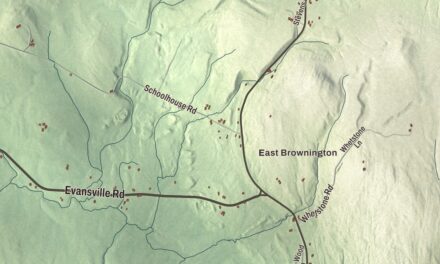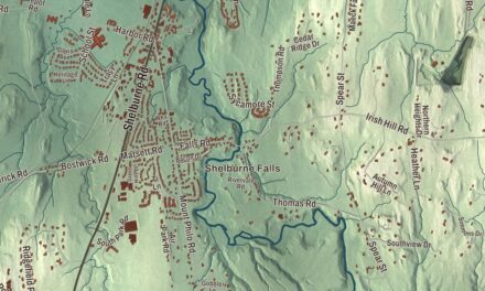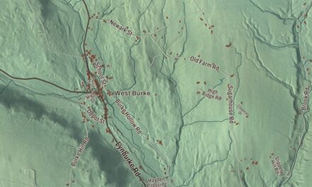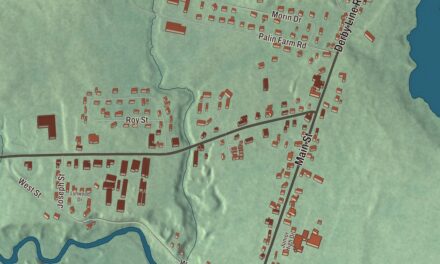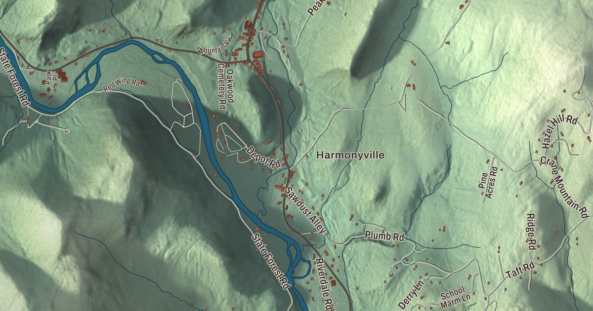
Townshend follows the West River through the hills of Windham County, from West Townshend at a bend in the river down to the village common and Harmonyville just south of it. This map prints Harmonyville, West Townshend, Simpsonville and the West River, with Grafton Road, Athens Road, West River Road, Brookline Road, Townshend Road and Crane Mountain Road.
Townshend is a town in Windham County, Vermont.
KNOWOL made this map in 2026 from public survey data and gave it the look of an old county atlas, shading the hills from United States Geological Survey elevation data and drawing the roads and town line from the Census Bureau. The town covers 42.8 square miles, and 1,291 people lived here at the 2020 census. Click here to purchase a print of this map for your wall.
Granted twice
Benning Wentworth, governor of New Hampshire, granted Townshend on June 20, 1753, and named it for Charles Townshend, Secretary of War under King George III, of a family powerful in British politics. The French and Indian War stopped all plans for the town between 1755 and 1761, and since the grant required settlement within five years, Wentworth granted it again in August 1762. The proprietors had already started meeting again, and John Hazeltine led the first settlers in May 1761. Samuel Fletcher, who came from Massachusetts to what’s now West Townshend, built the town’s first frame house there around 1785, and part of it survives. The town organized on May 30, 1771, and Samuel Fletcher is the first representative the Legislature lists, in 1778. By 1797 two sawmills and a fulling mill stood on the town’s rivers.
The village of Townshend, in the south-central part of town, is built around its common. On the north side of the common, near the junction of Routes 30 and 35, stands the First Congregational Church, built in 1790 for a congregation founded in 1777 and given its tower and new front around 1840. It’s one of the oldest church buildings in continuous use in Vermont. Leland and Gray began on the east side of the common in October 1834 as a private seminary, one of the oldest secondary schools in Vermont, named for the Baptist preacher Aaron Leland and for Deacon Samuel Gray, whose gift of $800 helped it pay its debts. It became a public union middle and high school in 1968. Grace Cottage Hospital, founded in 1949, is in Townshend too.
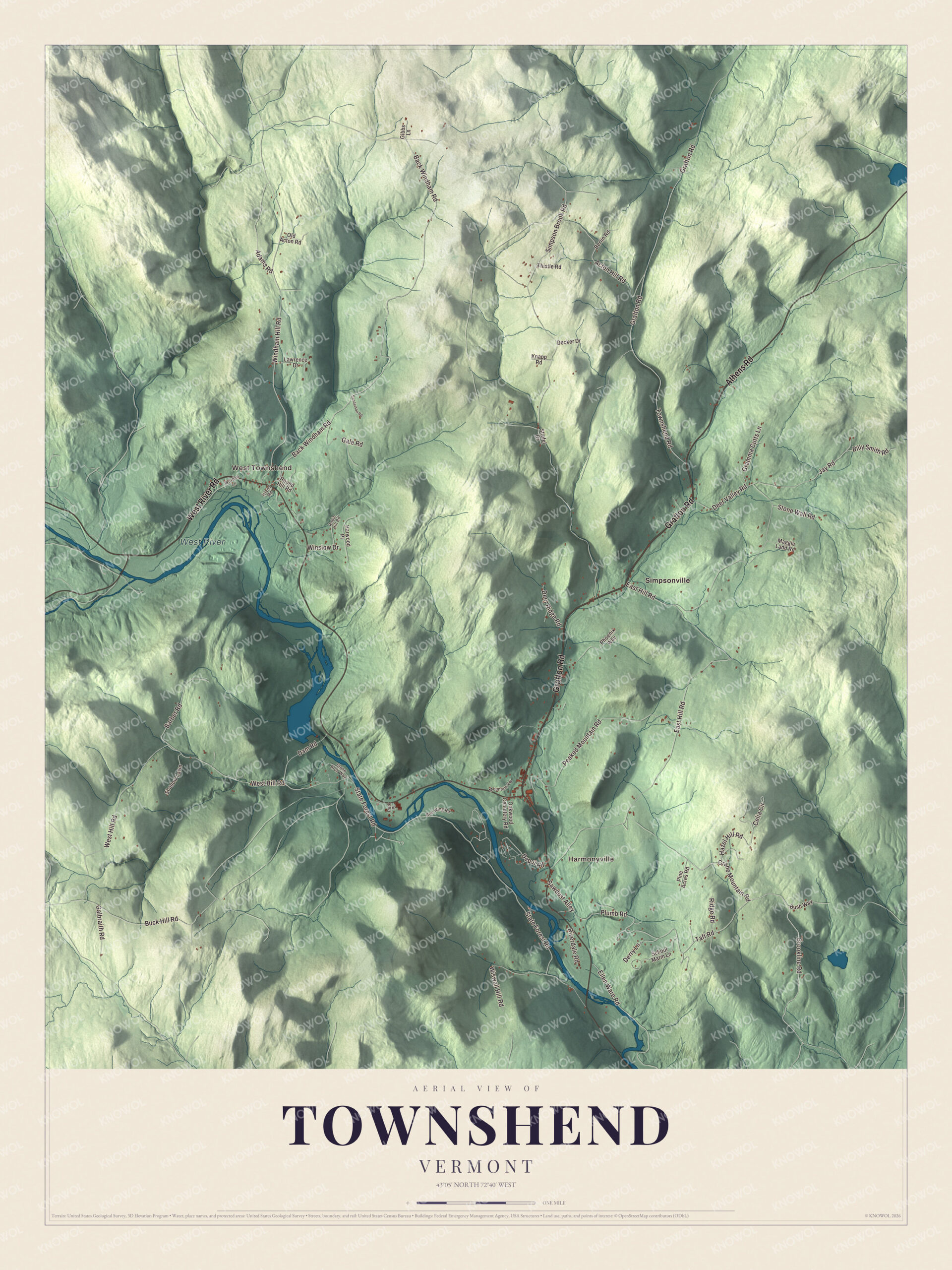
Click to explore a larger preview. The digital watermark does not appear on printed maps.
Names on this map
These names are printed on this map.
Places: Harmonyville, West Townshend, West River and Simpsonville.
Streets and roads: Grafton Road, Athens Road, West River Road, Brookline Road, Townshend Road, Crane Mountain Road, Back Windham Road, West Hill Road, Derry Lane, Simpson Brook Road, State Forest Road, East Hill Road.
More street names, A to Z
Acton Hill Road, Adams Road, Barber Road, Berlin Road, Billy Smith Road, Buck Hill Road, Bush Way, Celia Circle, Dam Road, Decker Drive, Deer Ridge Road, Deer Valley Road, Depot Road, Ellen Ware Road, Galbraith Road, Gale Road, Gibbs Lane, Gramma Cutts Lane, Harwood Place, Hazel Hill Road, Island Road, Jay Road, Knapp Road, Lawrence Drive, Maggie Ladd Road, Mountain Vw, Oakwood Cemetery Road, Old Acton Road, Park Place, Peaked Mountain Road, Phoenix Way, Pine Acres Road, Plumb Road, Red Wing Road, Ridge Road, Riverdale Road, Robin Hill Road, Round Hill Road, Sanderson Road, Sawdust Alley, School Marm Lane, Shadow Lawn, Stiefel Drive, Stone Arch Way, Stone Wall Road, Taft Road, Thistle Road, Windham Hill Road, Winslow Drive, Wiswall Hill Road, Worden Lane.
See it on a wall
The Townshend map as a framed print. Swipe for more.


Bridges of stone and wood
James Otis Follett, a Townshend farmer who seems to have taught himself bridge building from books and his years as a road commissioner, built at least 40 stone arch bridges between 1894 and his death in 1911, most of them in Townshend and the towns next door, at a time when most bridges were made of iron and steel. What appears to be one of his last, from about 1909, carries Grafton Road, Route 35, over Simpson Brook about two miles north of the village, near Simpsonville. Another, from about 1910, crosses Tannery Brook on Round Hill Road in West Townshend, and four more stand together southwest of the village as the Follett Stone Arch Bridge Historic District. West of the village, the Scott Covered Bridge of 1870 spans the West River just below Townshend Dam. At 277 feet it’s one of the longest covered bridges in Vermont, and it’s now closed to cars.
The Army Corps of Engineers finished Townshend Dam in 1961 to control flooding on the West River, and it holds back Townshend Lake. West Townshend, which grew up around mills on Tannery Brook and reached its height in the middle 1800s, sits on the north side of a bend in the river upstream of the dam, and the whole village is a historic district on the National Register of Historic Places. On the south side of the West River, east of the Scott bridge, Townshend State Park sits on the north slope of Bald Mountain, with a campground and other facilities the Civilian Conservation Corps built in the 1930s.
Clarina I. H. Nichols, born in West Townshend in 1810, became a journalist and a campaigner for women’s rights, and in Kansas she joined a petition campaign to include women’s voting in the first state constitution. Alphonso Taft, born in Townshend the same year, served President Grant as secretary of war and attorney general, and his son William Howard Taft became the 27th president. H. P. Lovecraft set his story “The Whisperer in Darkness” near Townshend, and the film Funny Farm was made here.
On the map, start with Harmonyville and West Townshend, then follow Grafton Road, Athens Road, West River Road, Brookline Road, Townshend Road and Crane Mountain Road across town. Then look outward toward Simpsonville. The West River is printed too. Townshend dates to 1753.
This map of Townshend is made for everyone who calls Townshend home, and it shows the town as it looks today, from Harmonyville and West Townshend to Simpsonville and the West River. Hang it in an office, library or den, or use it to teach children the geography and history of their town. It’s printed on museum quality archival paper. Zoom in on the preview above to explore the details, then click here to get your copy of the Townshend, Vermont map.

Sources
- Townshend, Vermont, Wikipedia
- Town histories and representatives, T towns, Vermont Legislature
- West Townshend, Vermont, Wikipedia
- First Congregational Church and Meetinghouse, Wikipedia
- Grace Cottage Hospital, Wikipedia
- Follett Stone Arch Bridge Historic District, Wikipedia
- Simpsonville Stone Arch Bridge, Wikipedia
- West Townshend Stone Arch Bridge, Wikipedia
- Scott Covered Bridge (Townshend, Vermont), Wikipedia
- Townshend Dam, Wikipedia
- Townshend State Park, Wikipedia
- Clarina I. H. Nichols, Wikipedia
- Alphonso Taft, Wikipedia