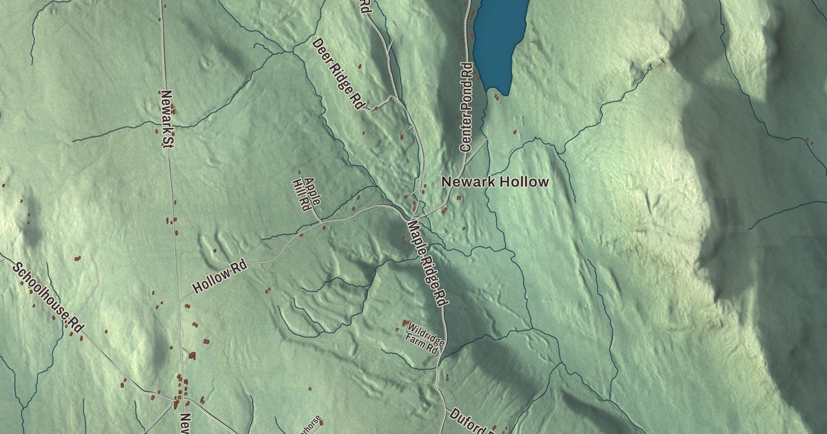
Newark sits at the northern tip of Caledonia County, on Route 114 between Burke and Island Pond. This map prints Island Pond Road, Lake Road, Newark Pond Road, Abbott Hill Road, Hollow Road and Maple Ridge Road, with Newark Hollow, Newark Pond and Center Pond.
Newark is a town in Caledonia County, Vermont.
KNOWOL made this map in 2026 from public survey data and gave it the look of an old county atlas, shading the hills from United States Geological Survey elevation data and drawing the roads and town line from the Census Bureau. The town covers 37.2 square miles, and 584 people lived here at the 2020 census. Click here to purchase a print of this map for your wall.
From Essex County to Caledonia
Vermont granted Newark on November 6, 1780, and chartered it on August 15, 1781. The town organized in 1809, while it still belonged to Essex County, and Eleazer Packer was its first representative in the legislature, in 1811 and 1812, going back several more times through 1827. Philemon Hartwell and Miles Coe also served in those early years. In 1824 the state moved Newark from Essex County to Caledonia County. Today it borders Burke to the south, Sutton to the west, Westmore to the northwest, Brighton to the north, Ferdinand to the northeast and East Haven to the southeast.
Roads, hills and forest
Route 114 runs through the town, and inside Newark it goes by the name Island Pond Road, heading north to Island Pond in Brighton and south to Lyndonville. Route 114 is one of four roads in Vermont where moose are most often seen, from East Burke to Canaan. Route 5A clips the town’s western corner on its way north past Lake Willoughby to Derby and south to West Burke. The highest point in Newark is an unnamed 2,362-foot summit near the Westmore line, west of Abbott Hill Road. Part of Willoughby State Forest, 7,682 acres in all, lies in Newark, along with Sutton and Westmore, and the forest is open for hiking, camping, skiing, hunting and fishing. Newark Street School, the town’s school for kindergarten through eighth grade, teaches about 70 students.
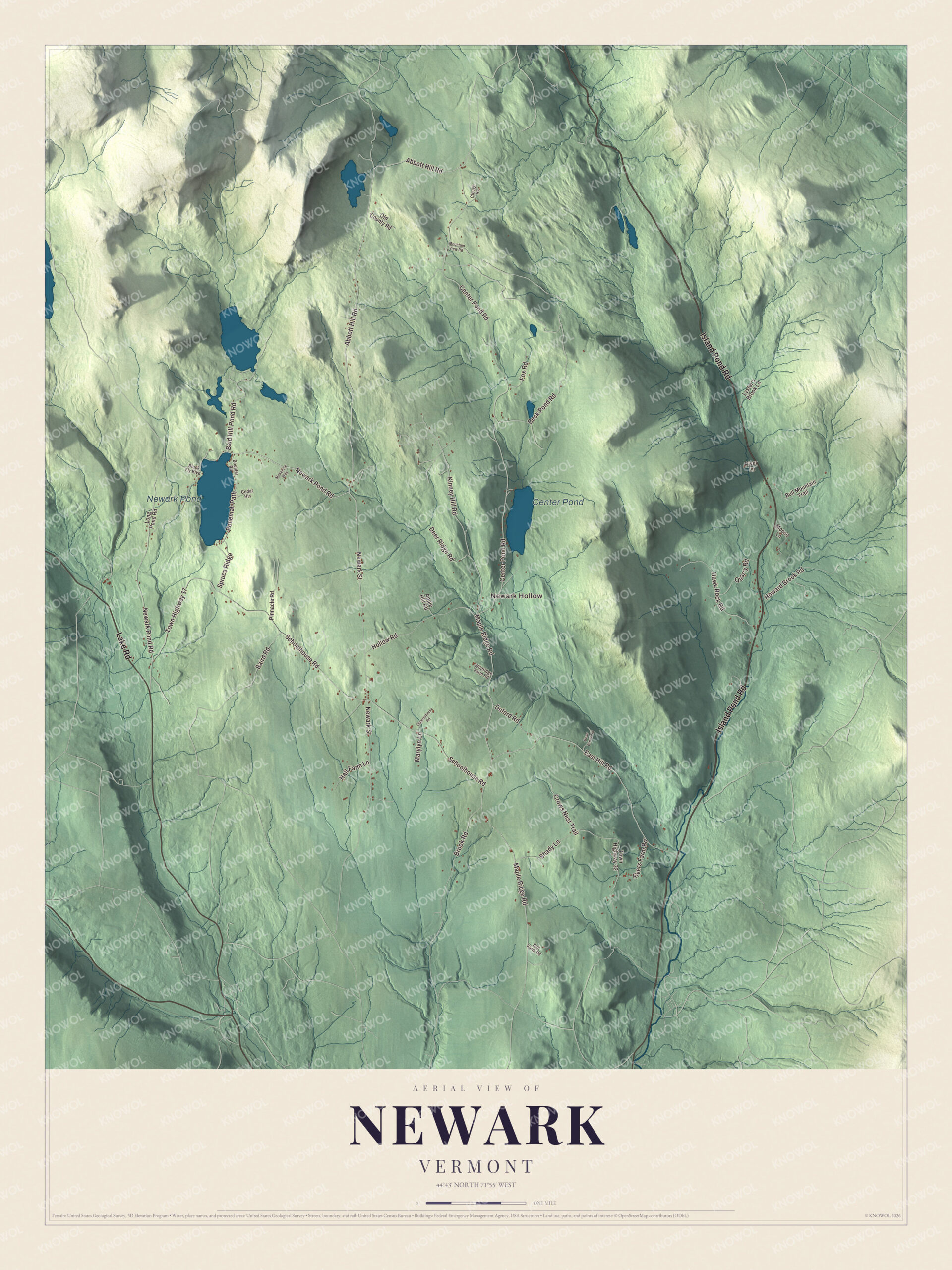
Click to explore a larger preview. The digital watermark does not appear on printed maps.
Names on this map
These names are printed on this map.
Places: Newark Hollow, Newark Pond and Center Pond.
Streets and roads: Island Pond Road, Lake Road, Newark Pond Road, Abbott Hill Road, Hollow Road, Maple Ridge Road, East Hill Road, Bald Hill Pond Road, Center Pond Road, Schoolhouse Road, Town Highway 17, Newark Street.
More street names, A to Z
Apple Hill Road, Baird Road, Ball Farm Road, Bean Brook Road, Beck Pond Road, Black Fly Boulevard, Boulder Road, Brook Road, Bull Mountain Trail, Cedar Heights, Clough Road, Crows Nest Trail, Deer Ridge Road, Duford Road, Fox Road, Hall Farm Lane, Hawk Rock Road, Howard Brook Road, Kinney Hill Road, Long Pond Road, Lyster's Brook Lane, Makenzie Way, Marylyn Lane, Moose Lane, Mountain View Road, Old County Road, Pinnacle Road, Ponemah Path, Quarry Road, Quarterhorse Road, River Lane, Rivers Farm Road, Shady Lane, Spruce Ridge, Town Highway 32, Wildridge Farm Road.
See it on a wall
The Newark map as a framed print. Swipe for more.


On the map, start at Newark Hollow, then follow Island Pond Road, Lake Road, Newark Pond Road, Abbott Hill Road, Hollow Road and Maple Ridge Road. Newark Pond and Center Pond are printed. Newark dates to 1781.
This map of Newark is made for everyone who calls Newark home, and it shows the town as it looks today, from Newark Hollow to Newark Pond. Hang it in an office, library or den, or use it to teach children the geography and history of their town. It’s printed on museum quality archival paper. Zoom in on the preview above to explore the details, then click here to get your copy of the Newark, Vermont map.

Sources