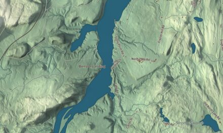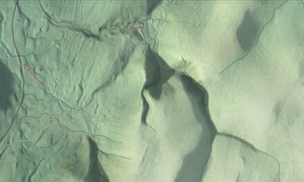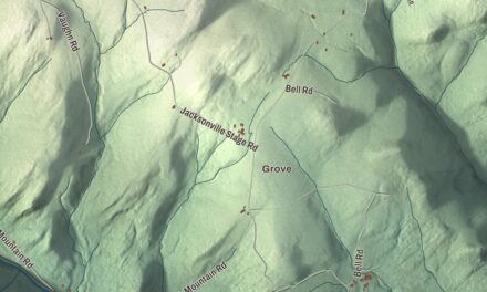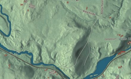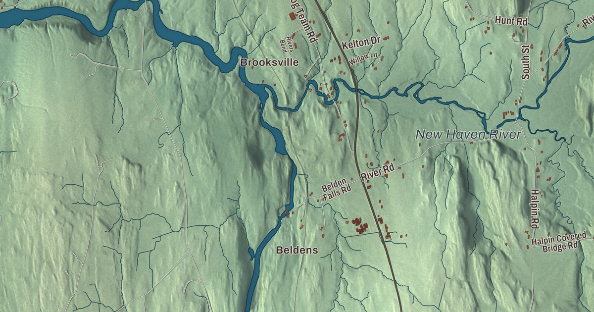
New Haven lies in the Champlain Valley on the road between Vergennes and Middlebury, where the New Haven River comes down from the Green Mountains to meet Otter Creek. This map prints Ethan Allen Highway, Federal Road, Main Street, Otter Creek Road, Otter Creek Highway and Maple Street, with Beldens, Brooksville, New Haven Mills and New Haven Junction.
New Haven is a town in Addison County, Vermont.
KNOWOL made this map in 2026 from public survey data and gave it the look of an old county atlas, shading the hills from United States Geological Survey elevation data and drawing the roads and town line from the Census Bureau. The town covers 41.5 square miles, and 1,683 people lived here at the 2020 census. Click here to purchase a print of this map for your wall.
A Loyalist’s farm on North Street
New Hampshire granted New Haven on November 2, 1761. Phinehas Brown first represented the town in the legislature in 1786, and New Haven organized on March 20, 1787. One of its oldest farms, the Bottum Farm on North Street, goes back to 1774, when Justus Sherwood bought the land from Ira and Ethan Allen’s Onion River Company. Sherwood did much to organize the town in the two years he lived there. When he sided with the Crown in the Revolution and joined the British Army, he passed the title to his in-laws, the Bottums, to keep the state from taking it, and those New Haven acres were the only land of his that wasn’t confiscated. The Bottums farmed it until 1958, and the farm was listed on the National Register of Historic Places in 2008.
Besides the town center, New Haven holds the villages of Belden, sometimes called Belden Falls, Brooksville, New Haven Junction and New Haven Mills. Otter Creek, one of the longest rivers in Vermont, forms part of the southwest line, with falls at Belden and at Huntington Falls, and the New Haven River joins it at Brooksville. U.S. Route 7 runs north and south through town, and Route 17 crosses it at New Haven Junction on its way east to Bristol and west to Addison and the Crown Point Bridge over Lake Champlain.
The Junction depot
The Rutland and Burlington Railroad reached the area in 1849, and New Haven Junction first appeared in its timetables in 1854. The brick station there, finished in August 1868, replaced a wooden one across the tracks, which became the freight house. It’s an Italianate building with round-arched windows and a semaphore tower rising through the eaves, and the stop became a true junction in 1891, when the Bristol Railroad opened. The line carried lumber for the Burlington area and marble from the Rutland quarries. In January 2022, to make room for faster trains on the Amtrak Ethan Allen Express extension to Burlington, the depot was moved to a town lot beside the town office and library.
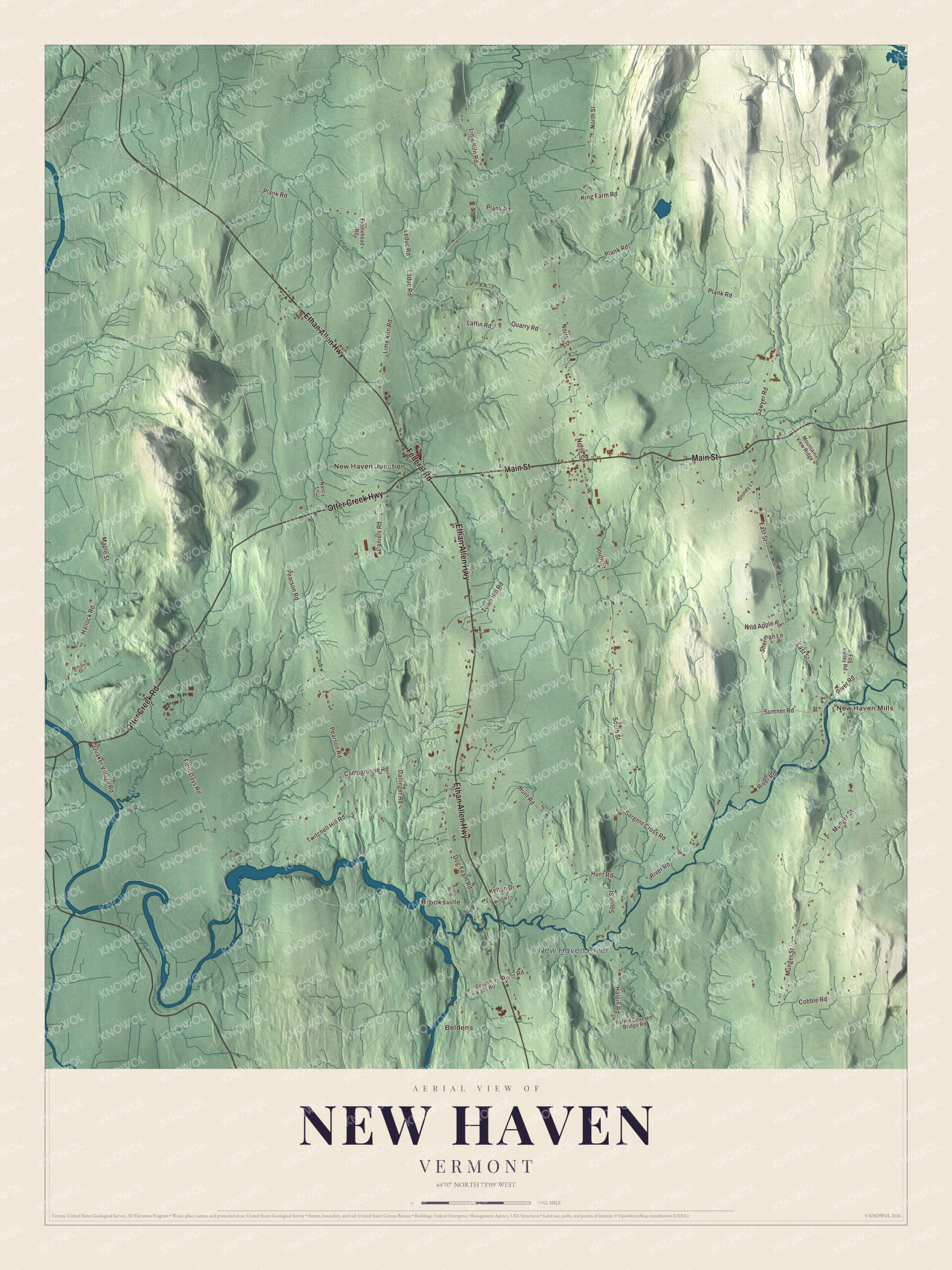
Click to explore a larger preview. The digital watermark does not appear on printed maps.
Names on this map
These names are printed on this map.
Places: Beldens, Brooksville, New Haven Mills, New Haven Junction and New Haven River.
Streets and roads: Ethan Allen Highway, Federal Road, Main Street, Otter Creek Road, Otter Creek Highway, Maple Street, Hallock Road, Quaker Village Road, Pearson Road, North Street, Dog Team Road, River Road.
More street names, A to Z
Belden Falls Road, Campground Road, Cobble Road, Dallinger Road, Daniels Road, East Street, Fiddlehead Road, Field Days Road, Fog Valley Road, Halpin Covered Bridge Road, Halpin Road, Hunt Road, Kelton Drive, King Farm Road, Laduc Road, Laffin Road, Leduc Road, Lime Kiln Road, Mitchell Drive, Mountain View Ridge, Munger Street, Nancy Lane, Plank Road, Quarry Road, Rivers Bend, Sargent Cross Road, Sawyer Road, Sherman Lane, South Street, Stoney Lane, Sumner Road, Town Hill Road, Twitchell Hill Road, Wild Apple Road, Willow Lane.
See it on a wall
The New Haven map as a framed print. Swipe for more.


New Haven Mills
By the 1840s New Haven Mills was a busy industrial village, with sawmills, gristmills and other works lining the New Haven River. The Union Church at River Road and East Street went up in 1851 for a congregation formed in 1797, built by the local master builder Eastman Case. Its sanctuary keeps its original bench pews and is lit only by its original kerosene lamps. Nearby, on a rise facing River Road and the river, stands the Lampson School of 1868, an Italianate district school with a round-arched cupola, paid for by Sir Curtis Lampson, a native of the village. It taught local children until about 1940 and is counted among Vermont’s most architecturally distinguished district schools of its day. Most of the village’s mills and shops were lost to fires and floods in the early 1900s, and the church is one of the oldest buildings left.
New Haven people
Curtis Lampson, born in New Haven in 1806, went to London in 1830 as John Jacob Astor’s agent and stayed, building his own fur business there. He sat on the board of the Atlantic Telegraph Company from its start in 1856 and is remembered for promoting the first transatlantic telegraph cable; in 1866 he was made a baronet, said to be the first former American citizen so honored. Josiah Bushnell Grinnell, born here in 1821, was a Congregational minister and abolitionist who founded Grinnell, Iowa, and helped bring Grinnell College there. He was a conductor on the Underground Railroad, sheltered John Brown in 1859, and served two terms in Congress. Homer Hulbert, born in New Haven in 1863, went to Korea as a teacher in 1886 and gave much of his life to the country. He wrote Saminpilji, which his page calls Korea’s first modern-style textbook written in Hangeul, and he twice traveled as a special envoy of the Korean emperor, to the United States in 1905 and to the 1907 peace conference at The Hague, to speak for Korea’s sovereignty. Robert Bruce Langdon, born on a New Haven farm in 1826, moved to Minnesota, where he built bridges, roads, buildings and railways as a contractor and served in the state senate, and Langdon, Minnesota, and Langdon, North Dakota, are named for him.
On the map, start at Beldens, then follow Ethan Allen Highway, Federal Road, Main Street, Otter Creek Road, Otter Creek Highway and Maple Street, and look out toward Brooksville, New Haven Mills and New Haven Junction. The New Haven River is printed. New Haven dates to 1761.
This map of New Haven is made for everyone who calls New Haven home, and it shows the town as it looks today, from Otter Creek to New Haven Mills. Hang it in an office, library or den, or use it to teach children the geography and history of their town. It’s printed on museum quality archival paper. Zoom in on the preview above to explore the details, then click here to get your copy of the New Haven, Vermont map.

Sources
- New Haven, Vermont, Wikipedia
- Town histories and representatives, N towns, Vermont Legislature
- Bottum Farm, Wikipedia
- New Haven Junction station, Wikipedia
- Union Church (New Haven, Vermont), Wikipedia
- Lampson School, Wikipedia
- Curtis Lampson, Wikipedia
- Josiah B. Grinnell, Wikipedia
- Homer Hulbert, Wikipedia
- Robert Bruce Langdon, Wikipedia