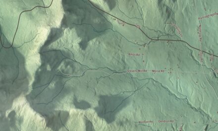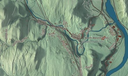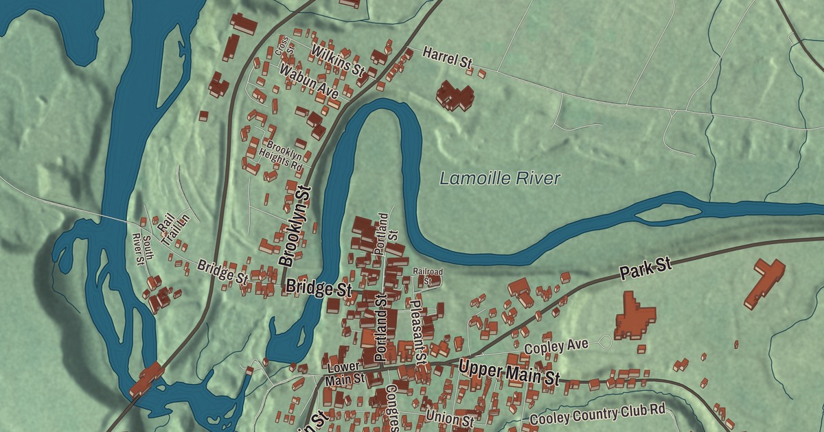
Morrisville sits on both banks of the Lamoille River, with its downtown on the south side, and this map prints the village’s streets, Bridge Street, Main Street, Upper Main Street, Park Street, Brooklyn Street and Elmore Road. The village lies 13 miles northwest of Hardwick and 9 miles northeast of Stowe.
Morrisville is a village in Lamoille County, Vermont.
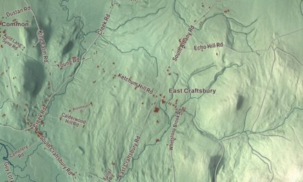
KNOWOL made this map in 2026 from public survey data and gave it the look of an old county atlas, shading the hills from United States Geological Survey elevation data and drawing the streets and village line from the Census Bureau. Morrisville is an incorporated village within the town of Morristown, and it has its own incorporated-place boundary, 2.02 square miles in the northeastern part of the town. Click here to purchase a print of this map for your wall.
A sawmill, then a railroad
The village began in 1798, when John Safford put up a sawmill on the Lamoille River at what became the village’s northern edge. By the middle of the 1800s Morrisville was a service center for the farms in the hills around it, with its shops and tradesmen strung along what’s now Lower Main Street, between High and Portland Streets. Portland Street was laid out ahead of the railroad, and when trains began running in 1872 a burst of commercial building followed along it, turning the village into a regional trading center. The Morrisville Historic District, listed on the National Register of Historic Places in 1983 and greatly enlarged in 2007, keeps both eras: a few Federal-period houses on Main Street and the brick Italianate business blocks of the railroad years, along with four historic churches and two historic school buildings.
The village remains active today. At the 2020 census 2,086 people lived here, and Morrisville is the home of Union Bank and of Concept2, the maker of rowing equipment and exercise machines that the rowing brothers Dick and Pete Dreissigacker founded in 1976. They ran it at first out of the back of a bread truck, then bought a farm in Morrisville. The News and Citizen, the weekly newspaper, has been published here since 1881, and the state-owned Morrisville-Stowe State Airport lies about two miles southwest of downtown.
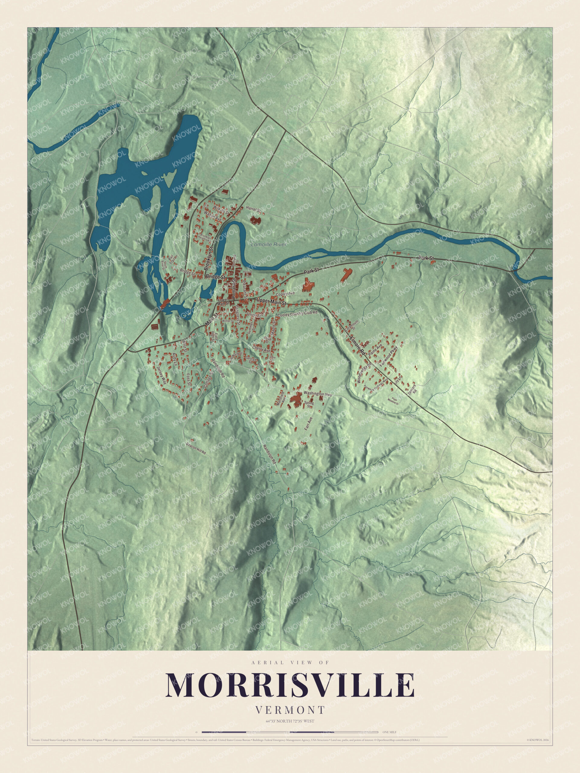
Click to explore a larger preview. The digital watermark does not appear on printed maps.
Names on this map
These names are printed on this map.
Places: Lamoille River.
Streets and roads: Bridge Street, Upper Main Street, Park Street, Elmore Road, Brooklyn Street, Main Street, Copley Avenue, Wilkins Street, Randolph Road, Washington Highway, Cottage Street, Jersey Way.
More street names, A to Z
Audy Lane, Beacon Hill Road, Best Street, Brooklyn Heights Road, Catamount Street, Cherry Avenue, Congress Street, Cooley Country Club Road, Cross Street, Demars Road, East High Street, Fairwood Parkway, Fairwood Parkway West, Farr Avenue, Foss Street, George Street, Harrel Street, Howard Street, Lily Lane, Lower Main Street, Mansfield Avenue, Maple Street, Olive Street, Paine Avenue, Pleasant Street, Pope Meadow Drive, Portland Street, Railroad Street, Rail Trail Lane, South River Street, Spring Street, Stone Street, Summer Street, Union Street, Wabun Avenue, Winter Street, Woodsedge Road.
See it on a wall
The Morrisville map as a framed print. Swipe for more.


Peoples Academy and the Copley gifts
At the eastern end of Main Street, on a hill with a commanding view of the village, stands Peoples Academy, the local public high school. Alexander Hamilton Copley, a Lamoille County native who made a fortune in the pharmaceutical business in Boston, first bought the land to build a house for himself and his wife. She fell ill and died before it was built, and he gave the property to the town instead and paid for the school, a red brick Classical Revival building nearly identical to a high school of the same period in Provincetown, Massachusetts. In 1930 George C. Grout gave the round brick astronomical observatory on the grounds, and the Community Bandshell went up the same year and has long been used for graduations; all three were listed on the National Register in 1996. Copley also gave much of the money for the hospital and one of the country clubs, which carry his name.
Morrisville people
Martha Lydia Poland, later Martha Poland Thurston, was born in Morrisville in 1849 and became a social leader, philanthropist and writer. George M. Powers grew up in Morrisville, graduated from Peoples Academy, and served as chief justice of the Vermont Supreme Court from 1913 to 1915 and again from 1929 until 1938. Frederick G. Fleetwood practiced law in Morrisville from 1894, served as Vermont’s Secretary of State and in Congress, and is buried in the village’s Pleasant View Cemetery. Dewey K. Hickok of Morrisville patented a washing machine on July 19, 1887, and invented a clothes dryer too. He also made two long whaling voyages across the Pacific, and his log of them was given to the Morrisville Historical Society.
On the map, start on Bridge Street, then follow Upper Main Street, Park Street, Elmore Road, Brooklyn Street and Main Street across the village. The Lamoille River is printed.
This map of Morrisville is made for everyone who calls Morrisville home, and it shows the village as it looks today, from the Lamoille River to Peoples Academy. Hang it in an office, library or den, or use it to teach children the geography and history of their village. It’s printed on museum quality archival paper. Zoom in on the preview above to explore the details, then click here to get your copy of the Morrisville, Vermont map.

Sources
- Morrisville, Vermont, Wikipedia
- Morrisville Historic District (Morristown, Vermont), Wikipedia
- Peoples Academy, Wikipedia
- Concept2, Wikipedia
- Morrisville-Stowe State Airport, Wikipedia
- Martha Poland Thurston, Wikipedia
- George M. Powers, Wikipedia
- Frederick G. Fleetwood, Wikipedia
- Dewey K. Hickok, Wikipedia