District of Columbia Town Maps A to Z
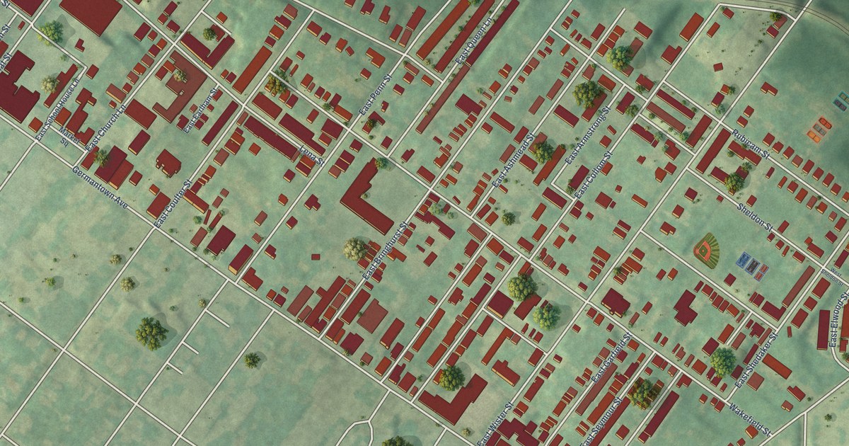
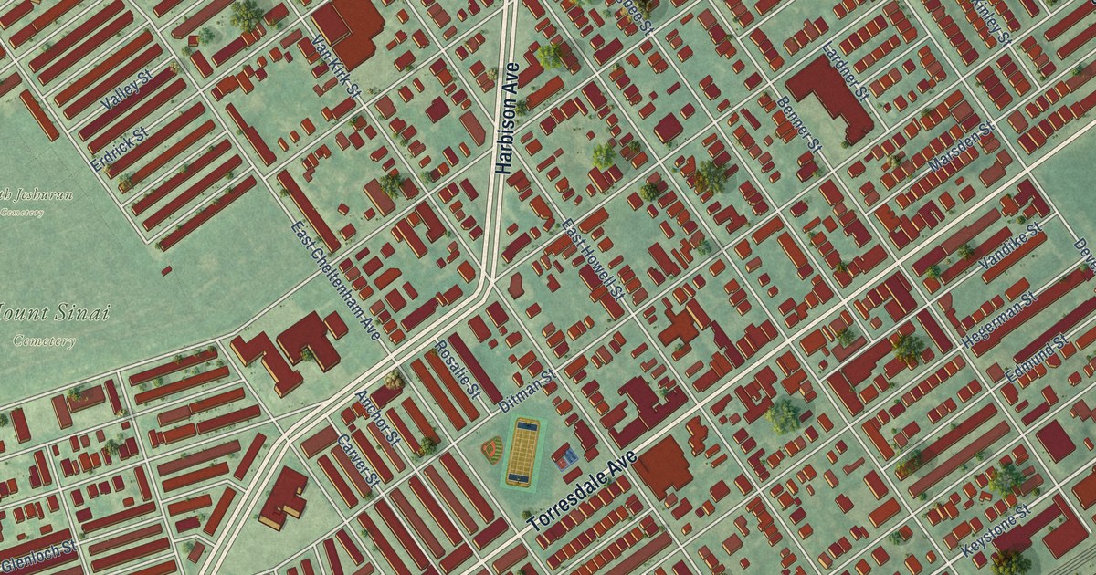
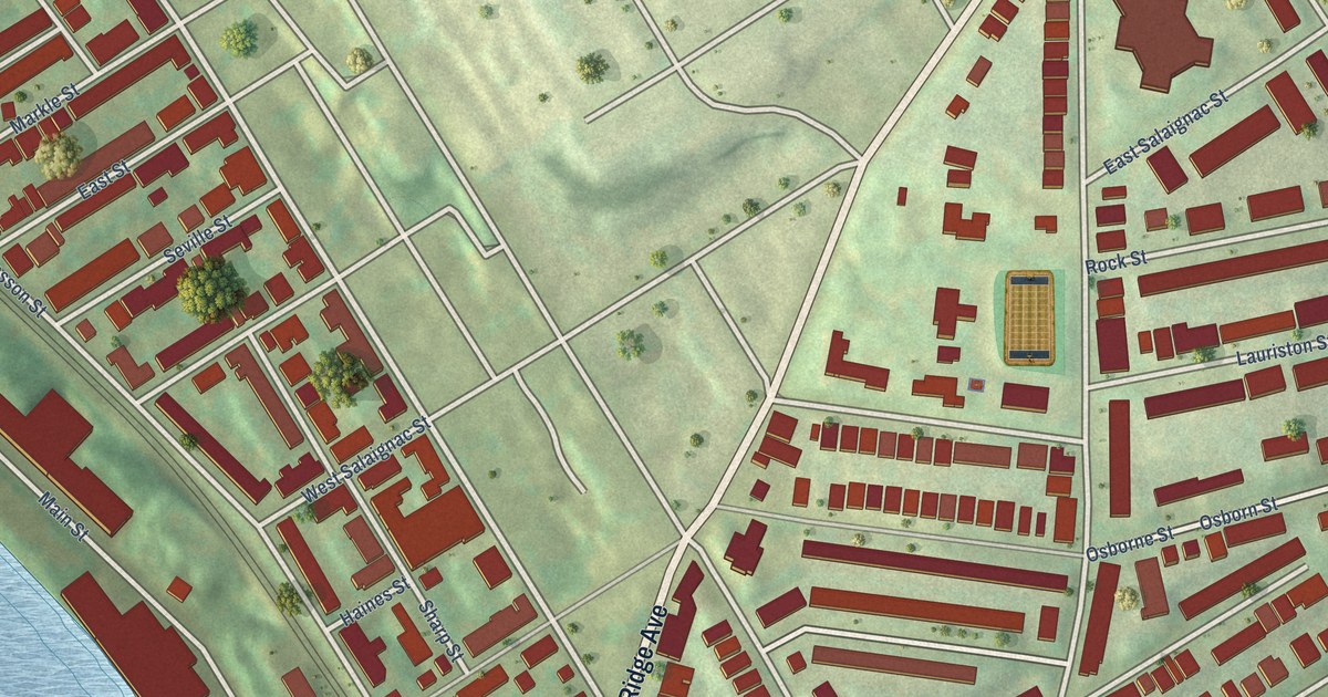
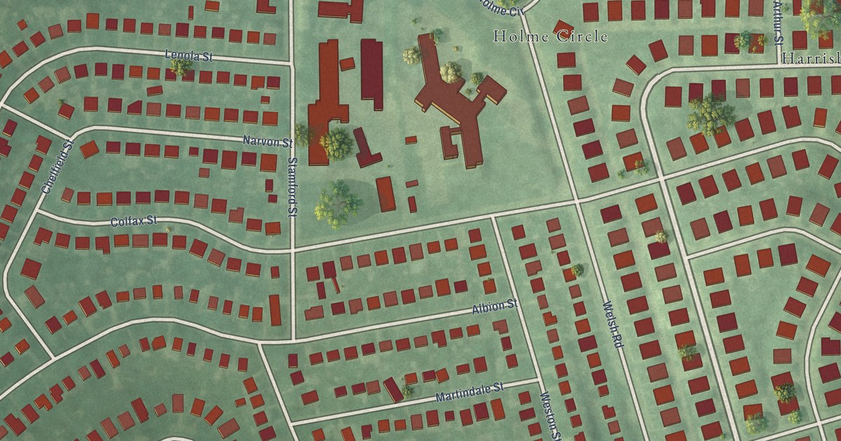
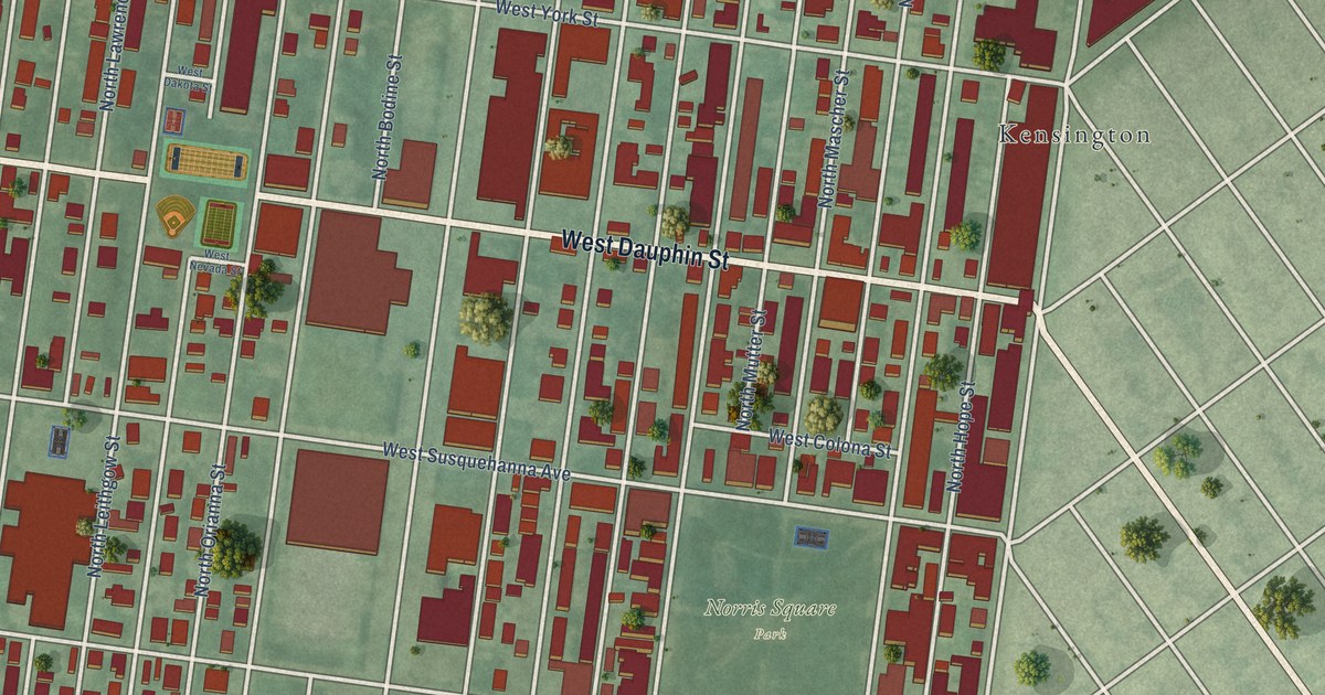
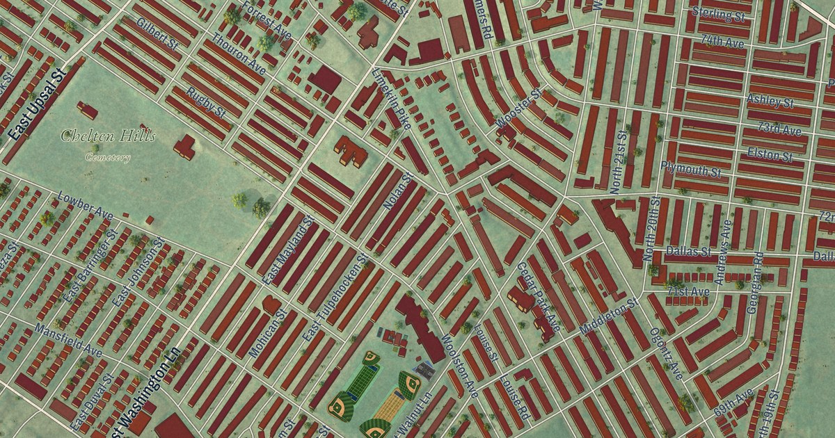
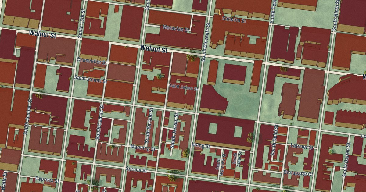
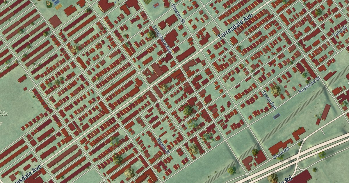
All 23 town maps, from Adams Morgan to Woodley Park. Each one opens its own page with the whole map.
Don’t see your town? Ask us to draw it.
About the District of Columbia
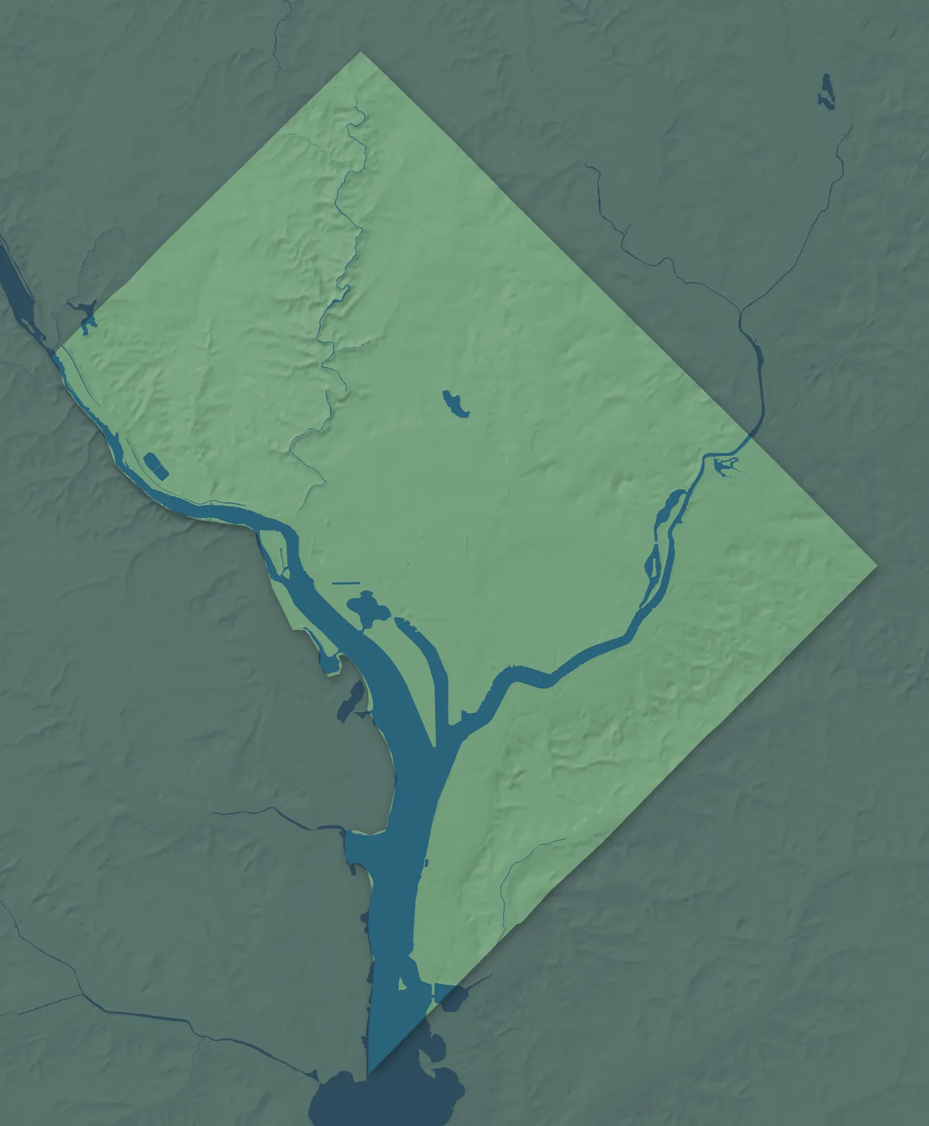
The District of Columbia sits where the Anacostia River flows into the Potomac, with Rock Creek cutting a wooded valley down its northwest side. In 1790 Congress chose the Potomac for the new capital. Andrew Ellicott's survey crew, working with the astronomer Benjamin Banneker, marked out a square ten miles on each side with a stone at every mile. Virginia took back its side of the river in 1846, and dozens of those stones still stand.
Pierre L'Enfant planned the city with broad avenues and circles, but its neighborhoods began in many ways. Georgetown was a Maryland tobacco port four decades before the capital, and later the streetcar lines carried new rowhouse blocks north. Go-go, the drum-driven funk that Chuck Brown made famous, was born in Washington, and in 2020 it became the District's official music.
- Founded
- July 16, 1790
- U.S. capital since
- 1800
- Population
- 693,6452025 Census estimate
- Highest point
- Point Reno, 409 feet
- Lowest point
- Potomac River, 1 foot
- Size
- 68 square miles, smaller than any state
Capitol Hill and the Waterfront
Ward 6 spreads east from the Capitol through the rowhouse blocks of Capitol Hill and Hill East, and south to the Navy Yard and the Southwest Waterfront. Eastern Market has sold food in the same brick hall since 1873. The Navy Yard opened on the Anacostia in 1799, and Congressional Cemetery in Hill East dates to 1807. At the Wharf, the Maine Avenue Fish Market has sold seafood from barges since 1805.


Georgetown, Downtown and the Mall
Ward 2 holds the White House, the monuments of the National Mall and the downtown office blocks, with Georgetown on the Potomac to the west. Maryland founded Georgetown in 1751 as a port for shipping tobacco. Its Old Stone House, built in 1765, is the oldest building in the city still on its original foundation. The C&O Canal starts in Georgetown and follows the river nearly 185 miles to Cumberland, Maryland.

Columbia Heights and Adams Morgan
Ward 1 rises on the hills above Florida Avenue, once the city's northern edge, through Columbia Heights, Adams Morgan and Mount Pleasant. Columbia Heights is named for Columbian College, today's George Washington University, which opened on this hill in the 1820s. Adams Morgan took its name in the 1950s from two schools, the white Adams and the Black Morgan, as neighbors worked together after desegregation. Families from El Salvador have made Mount Pleasant home since the 1960s.


Upper Northwest
Ward 3 is the high corner of the city west of Rock Creek Park, with Tenleytown, Cathedral Heights, Forest Hills and Woodley Park. Tenleytown is named for John Tennally's tavern, and Point Reno there is the highest natural ground in the District. Washington National Cathedral took 83 years to build, from 1907 to 1990. Woodley Park takes its name from Woodley, a house Philip Barton Key built in 1801.


Petworth, Brightwood and Chevy Chase
Ward 4 is the city's far north, on both sides of Rock Creek Park. Petworth is named for John Tayloe III's estate, which was laid out in streets in 1889 and filled with rowhouses in the 1920s. At Fort Stevens in Brightwood, Abraham Lincoln came under Confederate fire in July 1864. Shepherd Park is named for Alexander Shepherd, who paved the city's streets in the 1870s, and Chevy Chase grew along the streetcar line up Connecticut Avenue.


Upper Northeast and Bloomingdale
Ward 5 runs from the rowhouses of Bloomingdale east across Upper Northeast, through Edgewood, Brentwood and Michigan Park. Edgewood is named for the estate of Salmon P. Chase, Lincoln's Treasury secretary. The Catholic University of America was founded here in 1887, and so many religious orders followed that people called the area Little Rome. At the National Arboretum, 22 columns that held up the Capitol's east front from 1828 to 1958 now stand in a meadow.


East of the River
Wards 7 and 8 rise on the hills across the Anacostia River, with Bellevue and Washington Highlands near the District's southern tip. Anacostia began as Uniontown in 1854, and Frederick Douglass spent the last years of his life at Cedar Hill there. Washington Highlands sits on hills above the green valley of Oxon Run. In Ward 7, Kenilworth Aquatic Gardens grew from a Civil War veteran's water lily ponds and fills with lotus blooms every July.


- 12 × 18 inPrint $39.99Framed $79.99
- 18 × 24 inPrint $49.99Framed $119.99
- 24 × 36 inPrint $89.99Framed $189.99

Sizes and Prices
Every map comes in three sizes on archival matte paper. Framed prints come in black or white wood.
How each map is made
It starts with the real place
Streets, buildings, terrain and water form the map, drawn the way the District of Columbia looks today.
Then the details
Local research and an old atlas style give each town its character.
Then it's yours
Look around the map, then pick a print to keep or give.