Did You Know Petoskey, Michigan, Paraded a Sea Serpent 100 Feet Long?
In 1895 Petoskey’s sea serpent proved to be a sail, then a log. In 1914 the Elks built a 100-foot one for their parade, and in 1915 it went up in flames.

In 1895 Petoskey’s sea serpent proved to be a sail, then a log. In 1914 the Elks built a 100-foot one for their parade, and in 1915 it went up in flames.
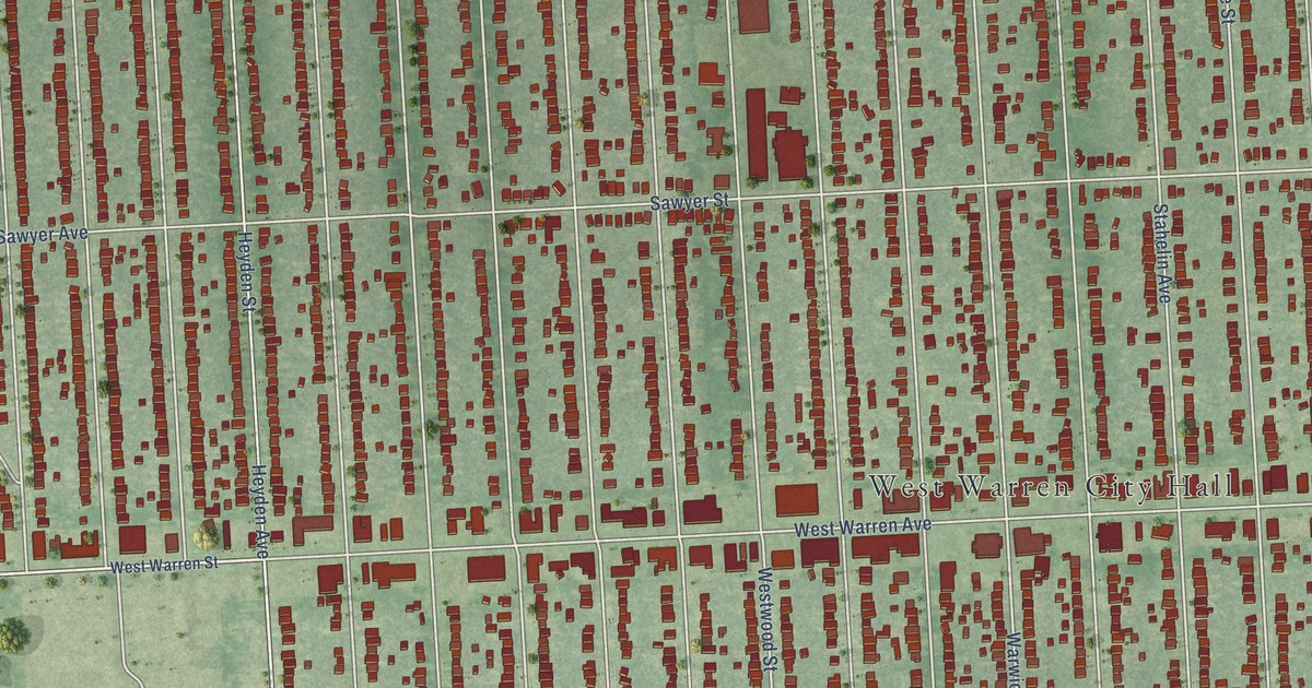
A detailed map of Warrendale, Michigan, showing every building in its true location, the roads by name, and shaded topographical relief.
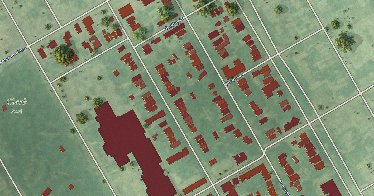
A detailed map of Hubbard Farms, Michigan, showing every building in its true location, the roads by name, and shaded topographical relief.
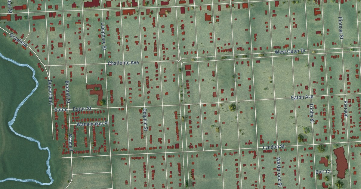
A detailed map of Brightmoor, Michigan, showing every building in its true location, the roads by name, and shaded topographical relief.
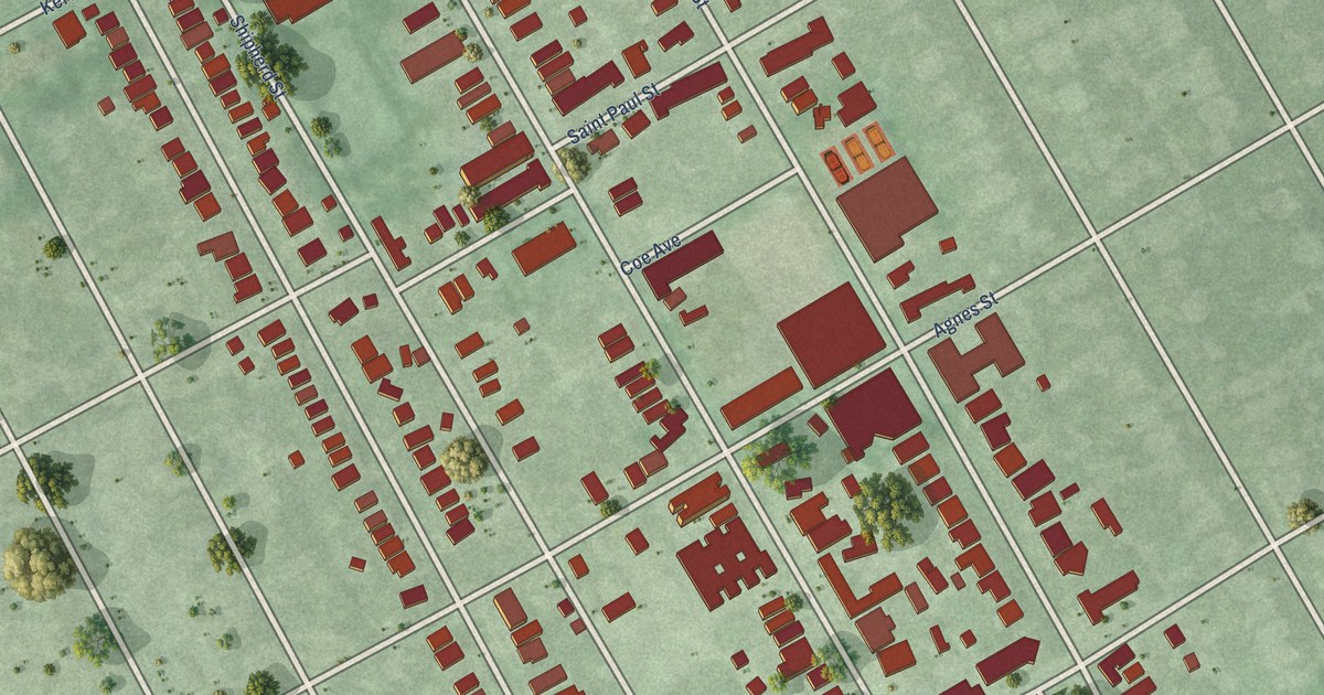
A detailed map of West Village, Michigan, showing every building in its true location, the roads by name, and shaded topographical relief.
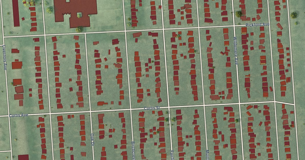
A detailed map of University District, Michigan, showing every building in its true location, the roads by name, and shaded topographical relief.
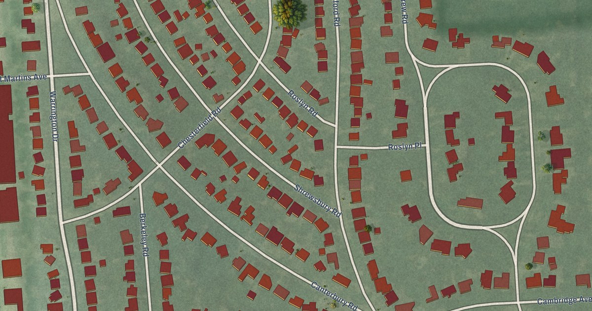
A detailed map of Sherwood Forest, Michigan, showing every building in its true location, the roads by name, and shaded topographical relief.
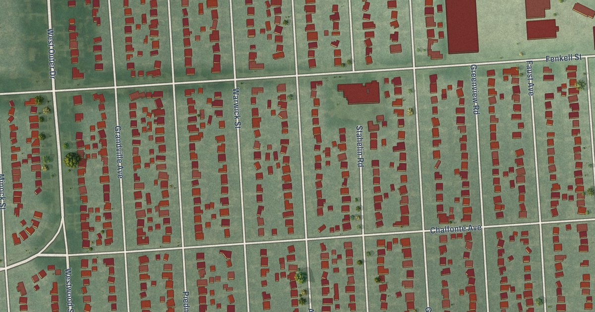
A detailed map of Rosedale Park, Michigan, showing every building in its true location, the roads by name, and shaded topographical relief.
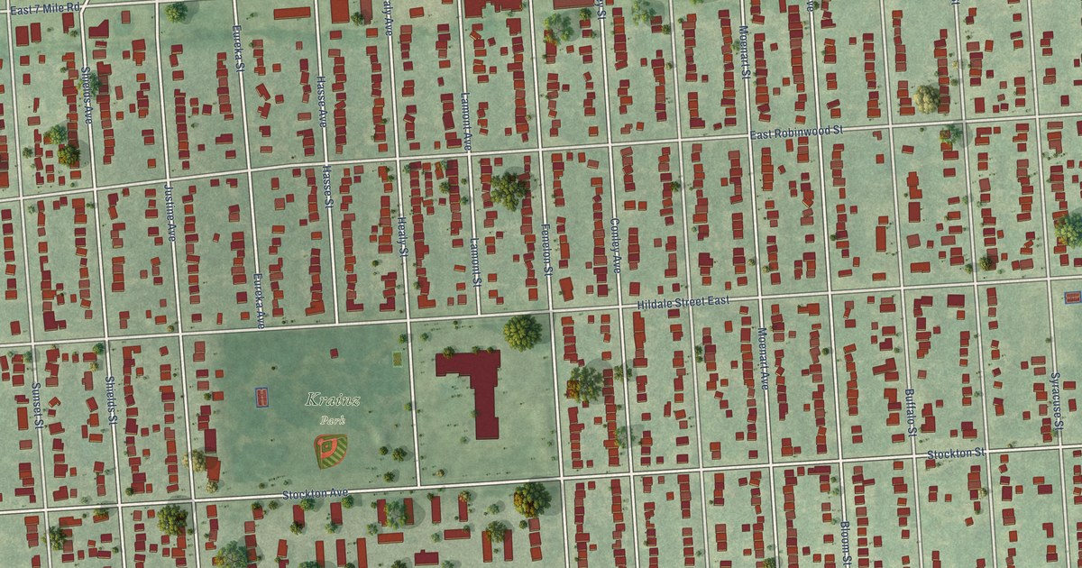
A detailed map of Krainz Woods, Michigan, showing every building in its true location, the roads by name, and shaded topographical relief.
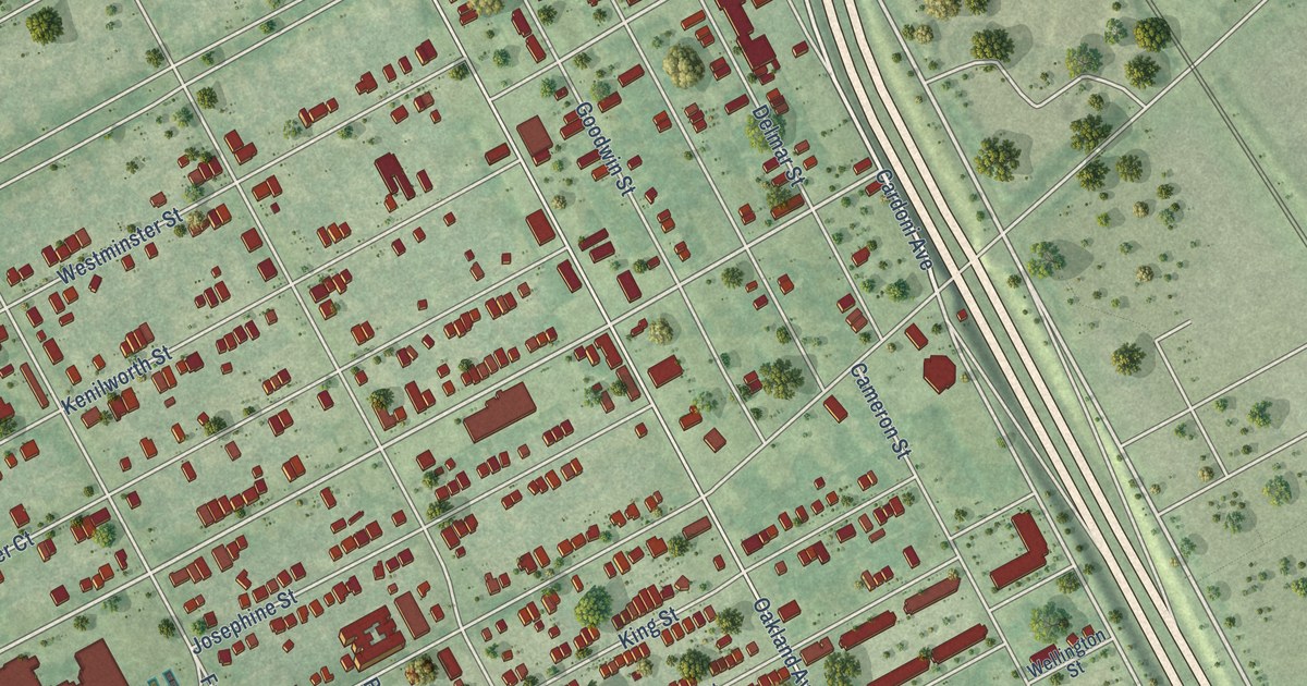
A detailed map of North End, Michigan, showing every building in its true location, the roads by name, and shaded topographical relief.
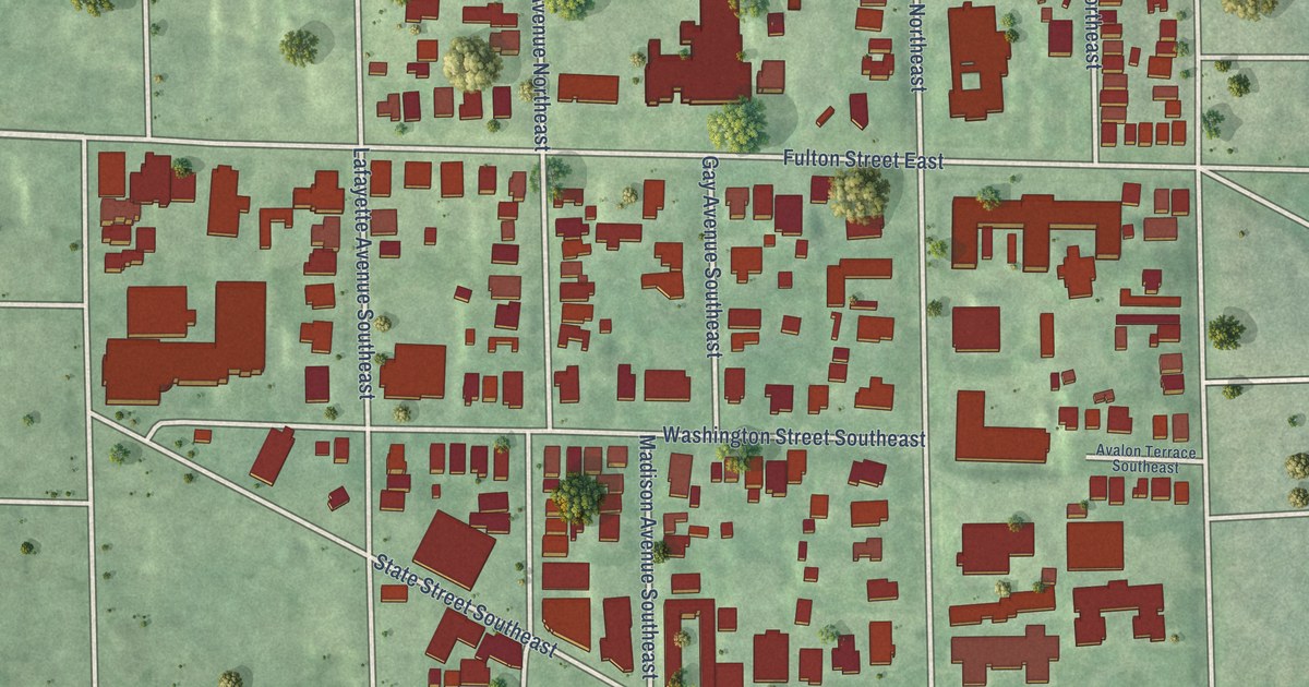
A detailed map of Heritage Hill, Michigan, showing every building in its true location, the roads by name, and shaded topographical relief.
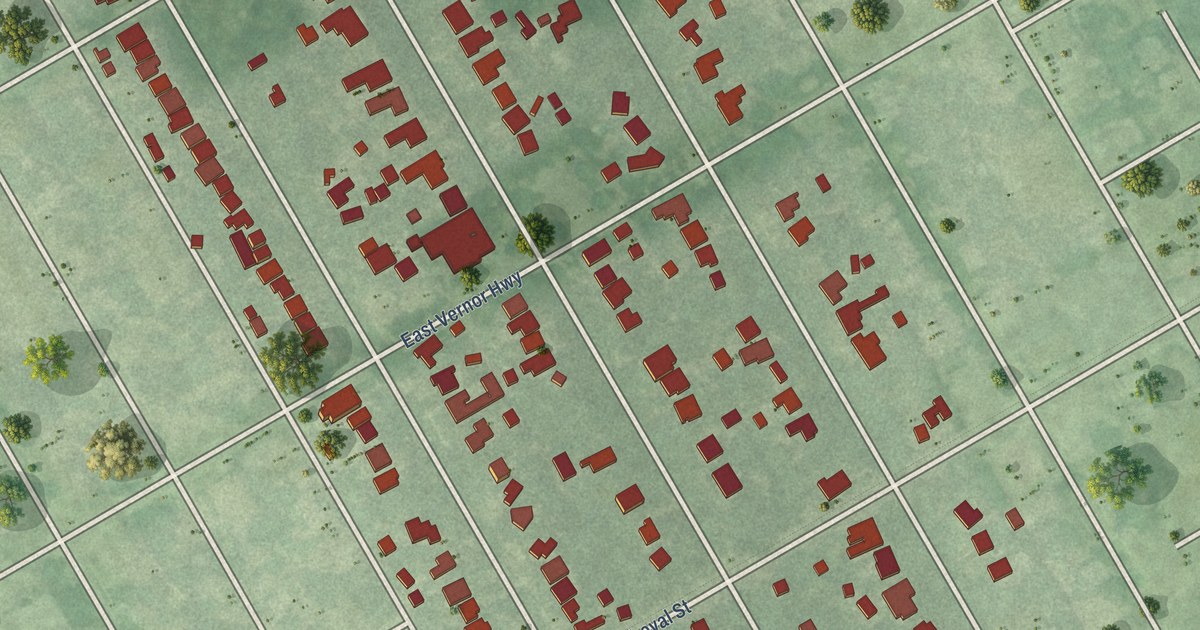
A detailed map of Indian Village, Michigan, showing every building in its true location, the roads by name, and shaded topographical relief.