Detailed Map of Upper North Sydney, Nova Scotia
A detailed map of Upper North Sydney, Nova Scotia, showing every building in its true location, the roads by name, and shaded topographical relief.

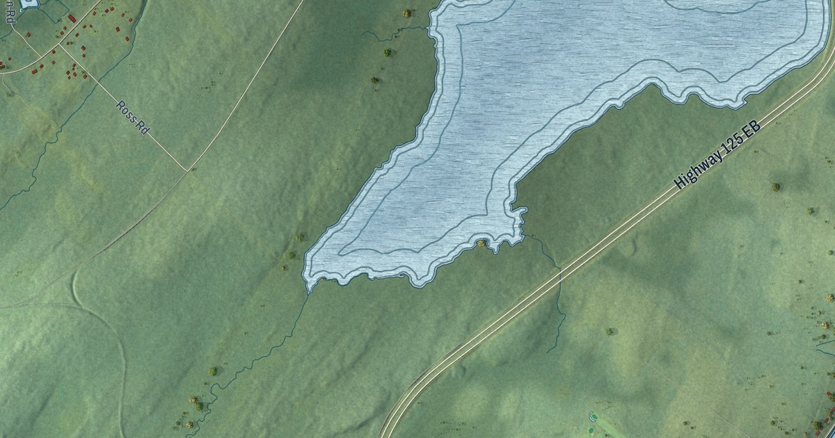
A detailed map of Upper North Sydney, Nova Scotia, showing every building in its true location, the roads by name, and shaded topographical relief.
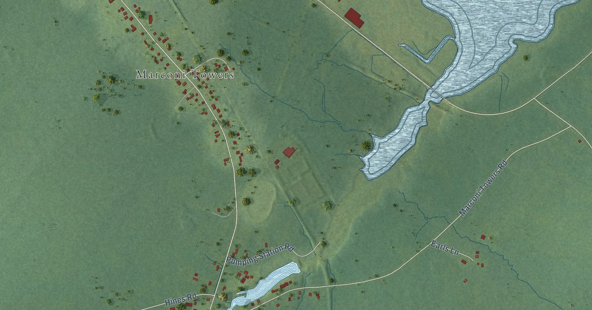
A detailed map of Tower Road, Nova Scotia, showing every building in its true location, the roads by name, and shaded topographical relief.
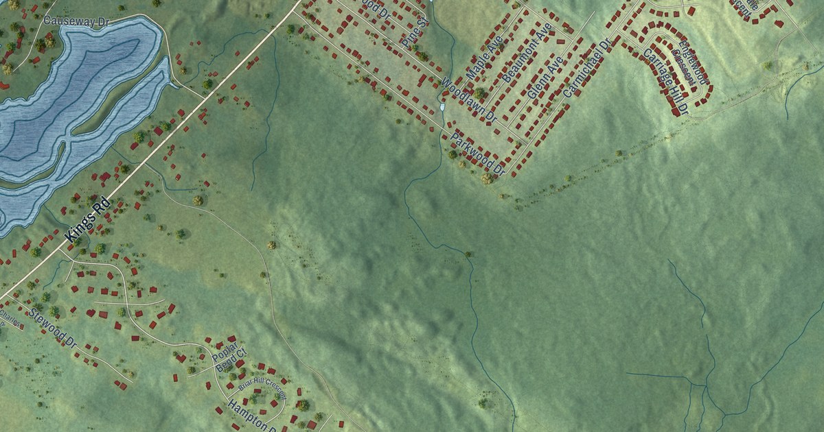
A detailed map of Sydney River, Nova Scotia, showing every building in its true location, the roads by name, and shaded topographical relief.
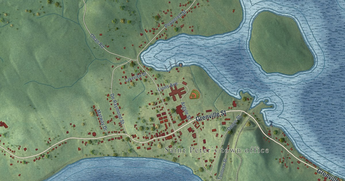
A detailed map of St. Peter’s, Nova Scotia, showing every building in its true location, the roads by name, and shaded topographical relief.
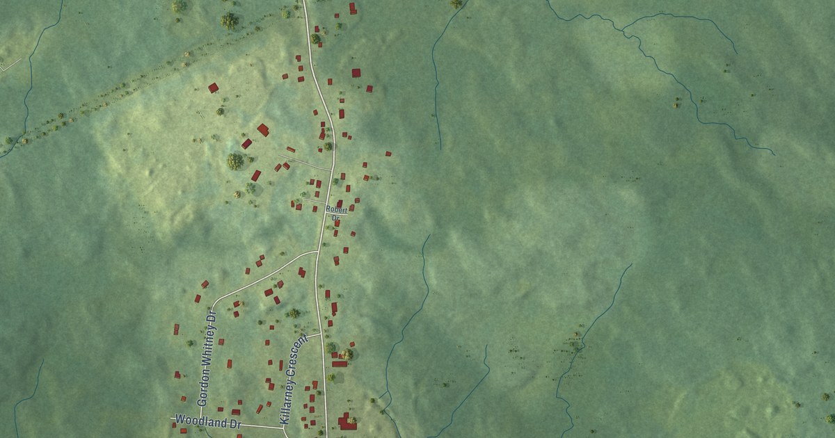
A detailed map of Prime Brook, Nova Scotia, showing every building in its true location, the roads by name, and shaded topographical relief.
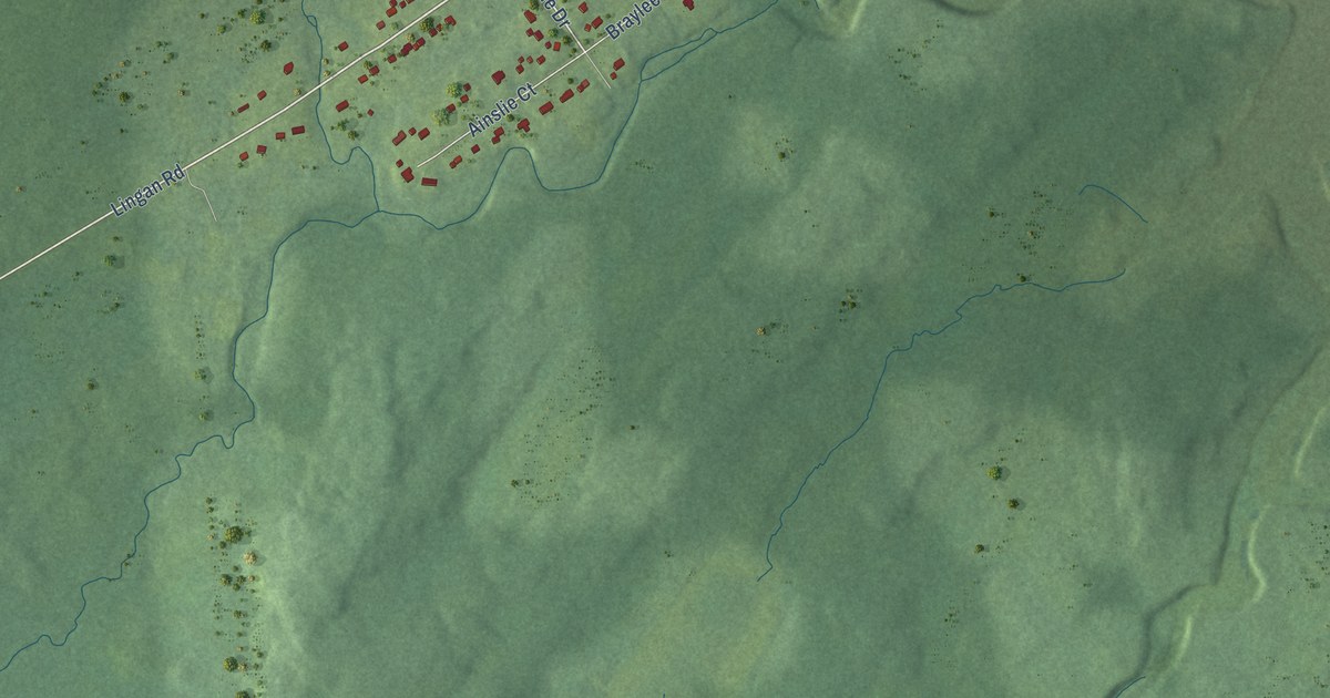
A detailed map of River Ryan, Nova Scotia, showing every building in its true location, the roads by name, and shaded topographical relief.
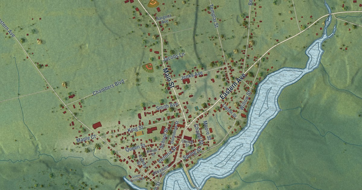
A detailed map of Parrsboro, Nova Scotia, showing every building in its true location, the roads by name, and shaded topographical relief.
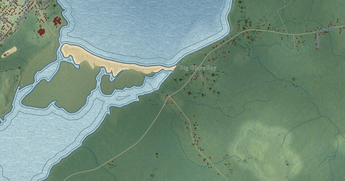
A detailed map of Port Caledonia, Nova Scotia, showing every building in its true location, the roads by name, and shaded topographical relief.
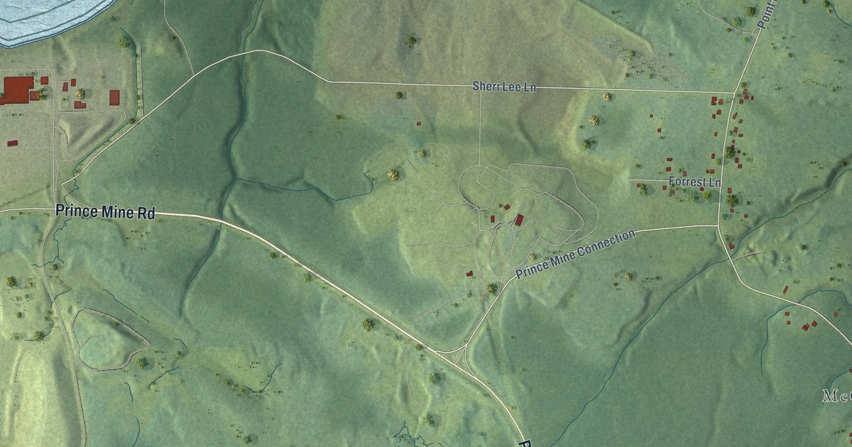
A detailed map of Point Aconi, Nova Scotia, showing every building in its true location, the roads by name, and shaded topographical relief.
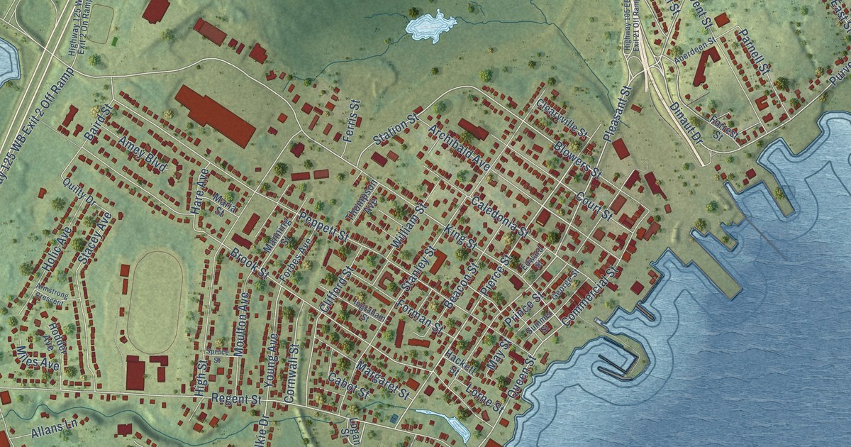
A detailed map of North Sydney, Nova Scotia, showing every building in its true location, the roads by name, and shaded topographical relief.
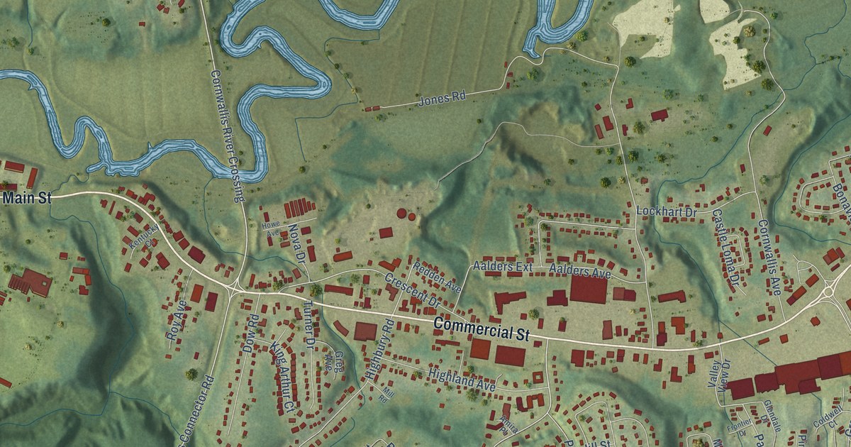
A detailed map of New Minas, Nova Scotia, showing every building in its true location, the roads by name, and shaded topographical relief.
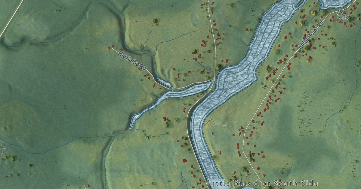
A detailed map of Mill Creek, Nova Scotia, showing every building in its true location, the roads by name, and shaded topographical relief.
