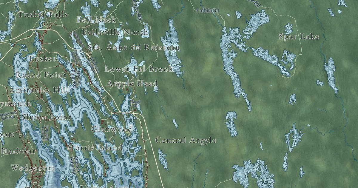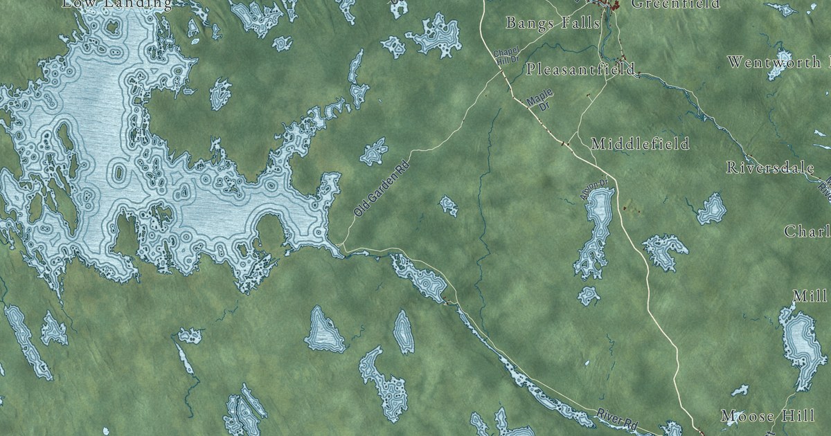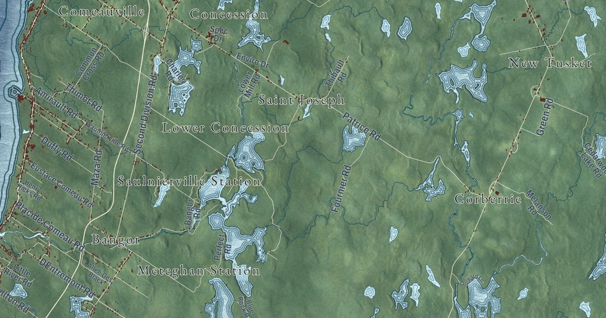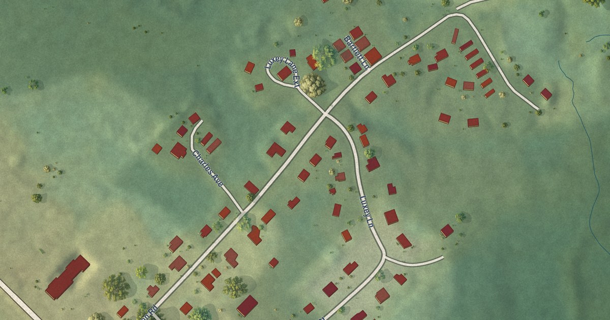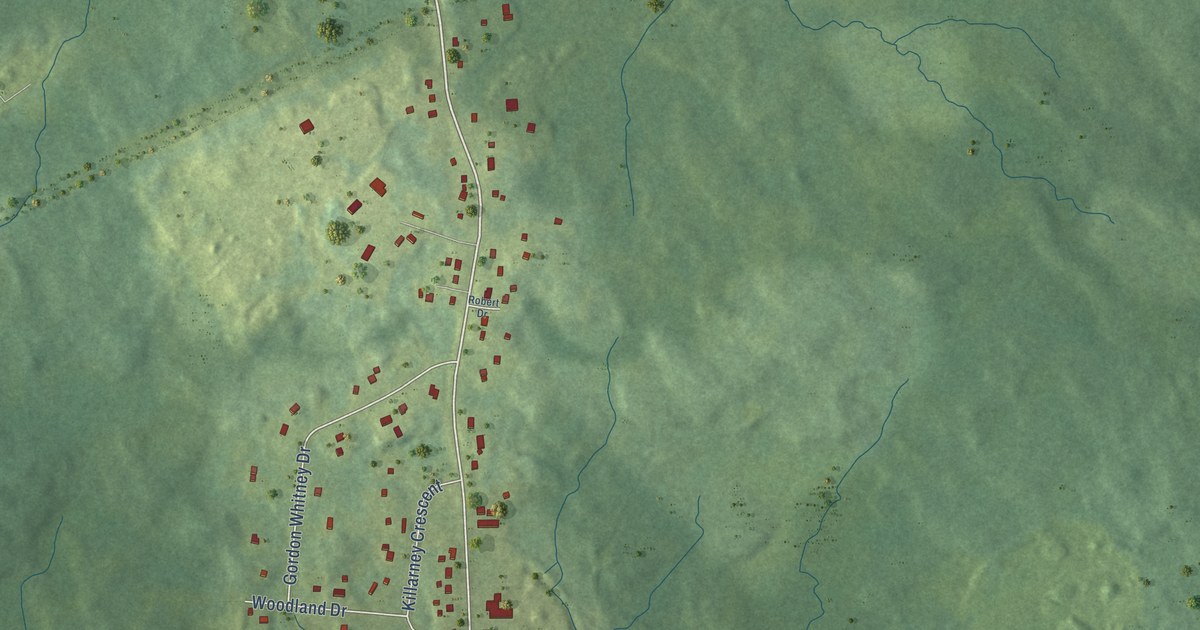
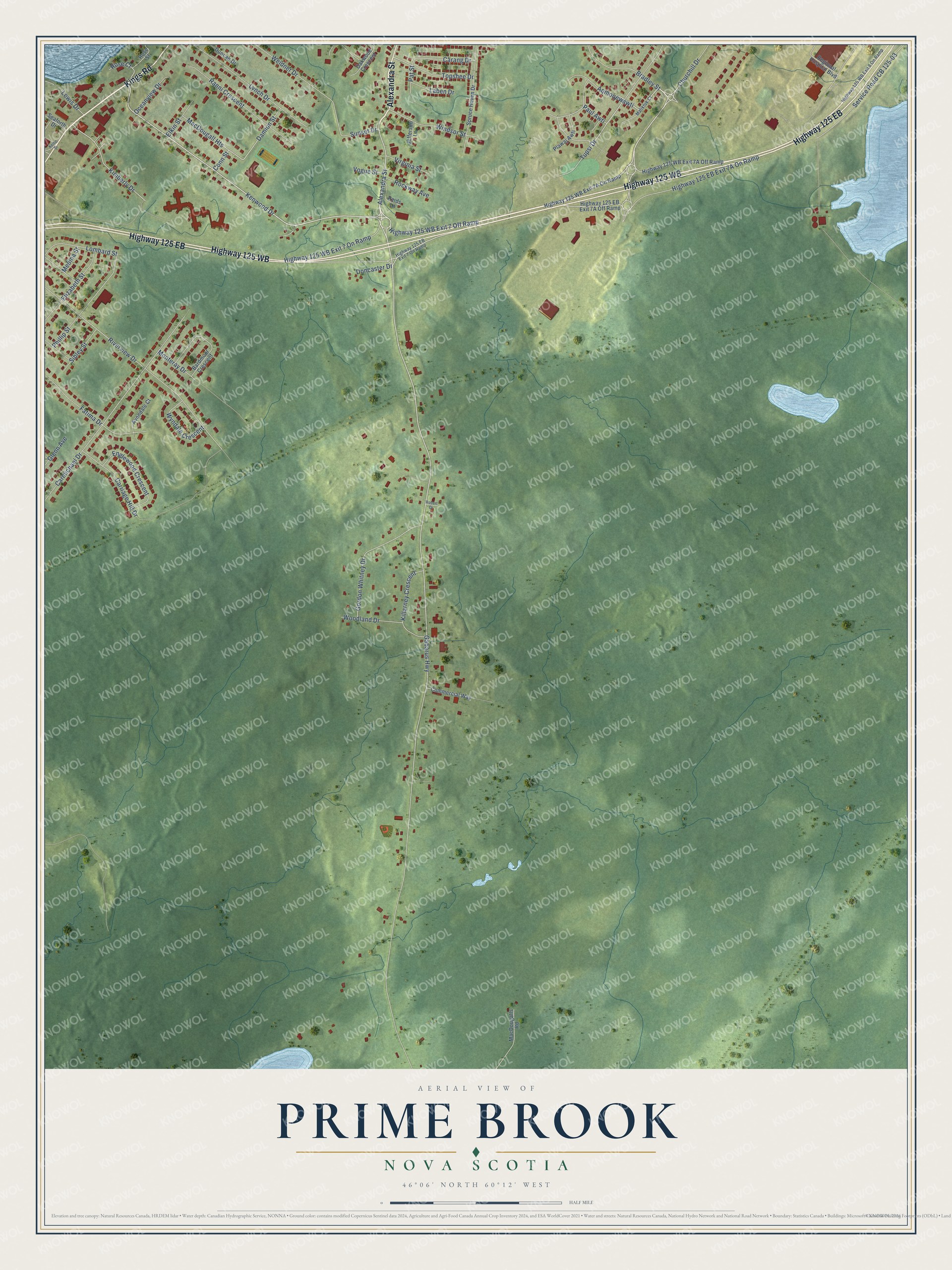
This beautifully detailed map of Prime Brook, Nova Scotia was created in 2026 using aerial imagery combined with modern topographical, census, street and landmark data. It’s a one-of-a-kind view of Prime Brook that combines accurate data with a vintage aesthetic. The map shows every building in its true location, many of the roads carry their names, and the shaded topographic relief shows the shape of the land.
Explore an aerial view of Prime Brook, Nova Scotia
On the map you’ll find Aqmoqewawti, along with Highway 125 WB, Kings Road, Alexandra Street, Highway 125 EB, Churchill Drive, Kenwood Drive, Highway 125 WB Exit 7 Off Ramp, Bradley Street, Gabarus Highway, Tupsi Drive, Kimberly Drive, and more. If you look closely you can even find your house accurately drawn in its correct location. Zoom in on the preview to look for yours.
Take a closer look at the Prime Brook map
Names on this map
These names are printed on this map.
Streets and roads: Highway 125 WB, Kings Road, Alexandra Street, Highway 125 EB, Churchill Drive, Kenwood Drive, Highway 125 WB Exit 7 Off Ramp, Bradley Street, Aqmoqewawti, Gabarus Highway, Tupsi Drive, Kimberly Drive.
More street names, A to Z
Avondale Court, Bardmoor Crescent, Carang Drive, Carmichael Drive, Carriage Hill Drive, Commercial Way, Conn Street, Damion Street, Doncaster Drive, Duncan Drive, Elizabeth Street, Elkin Street, Englewood Crescent, Fatima Drive, Glenn Avenue, Gordon Whitney Drive, Highway 125 EB Exit 7 On Ramp, Highway 125 WB Exit 7 On Ramp, Highway 125 WB Exit 8 On Ramp, Jefferson Lane, Keltic Drive, Killarney Crescent, Laben Drive, Lewis Drive, Lombard Street, Lynch Drive, MacDougall Heights, MacDougalls Road, Maliktuk Court, Medina Street, Monteray Drive, Oakwood Crescent, Oceanview Drive, Pat Street, Paul Awti, Phillip Street, Plawaj Awti, Ranni Crescent, Regional Hospital Boulevard, Reids Lane, Riverview Drive, Robert Drive, Rockway Avenue, Rose Court, Rose Street, Seaforth Drive, Service Road CB 125-03, Sibley Street, Spruce Haven Drive, Sunset Drive, Topshee Drive, Virginia Street, Vogue Street, Weidner Drive, Windsor Street, Woodland Drive, Wyndale Crescent.
See it on a wall
The Prime Brook map as an 18 x 24 inch print in a black frame.

This beautifully detailed map of Prime Brook makes an attractive addition to your office, library, or den, and it can even be used to teach children the geography and history of the area. It also makes a great gift for anyone with Prime Brook roots. When you’re done exploring, click here to get your copy of the Prime Brook map.