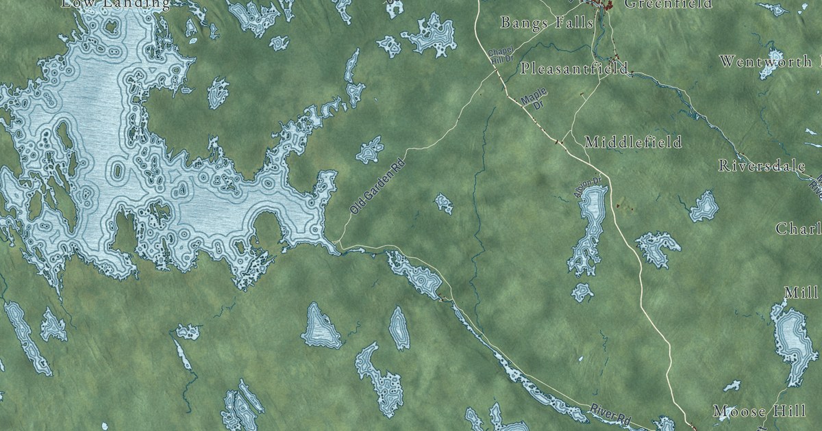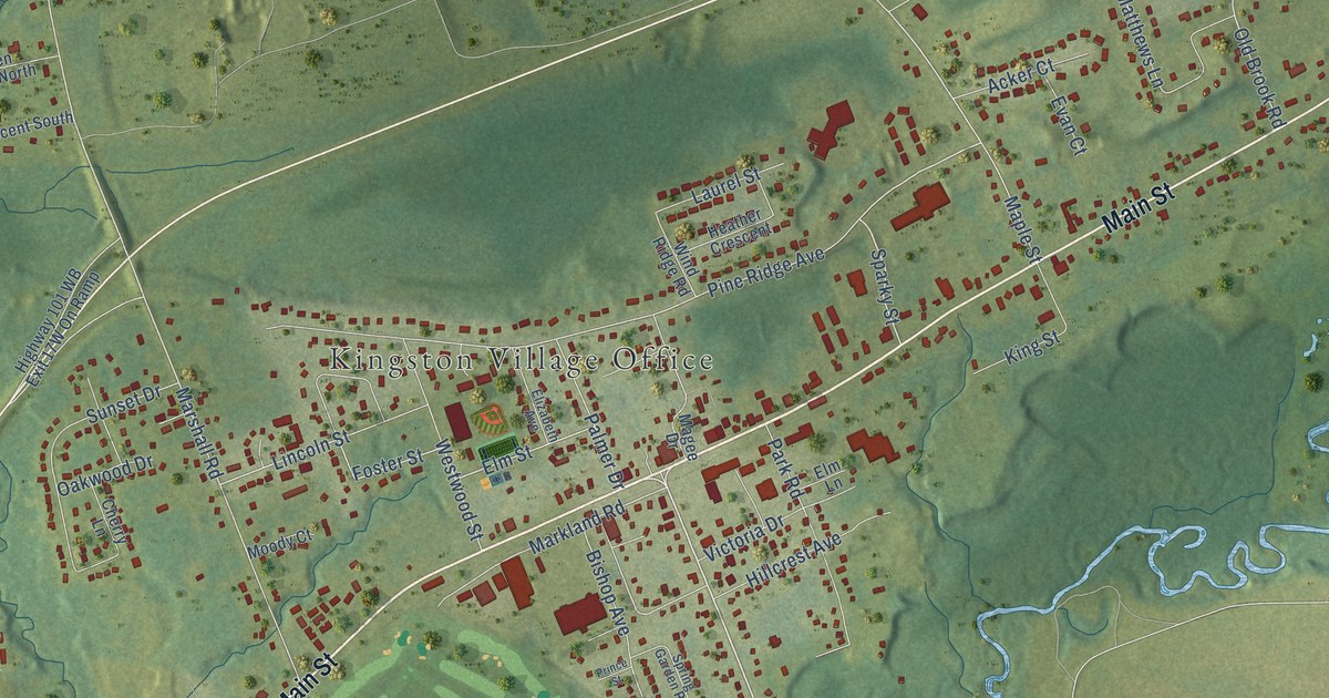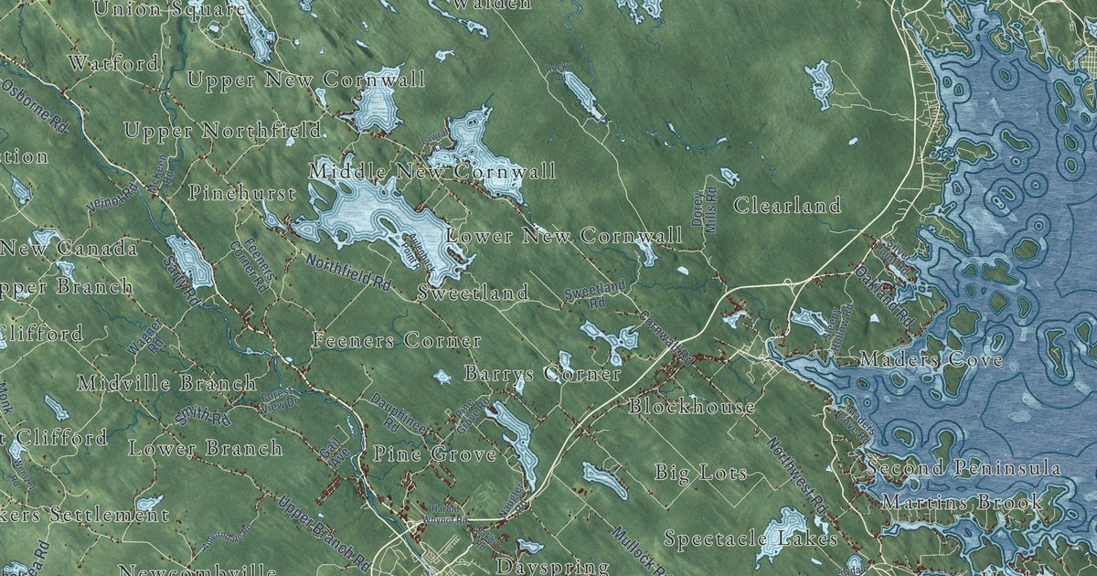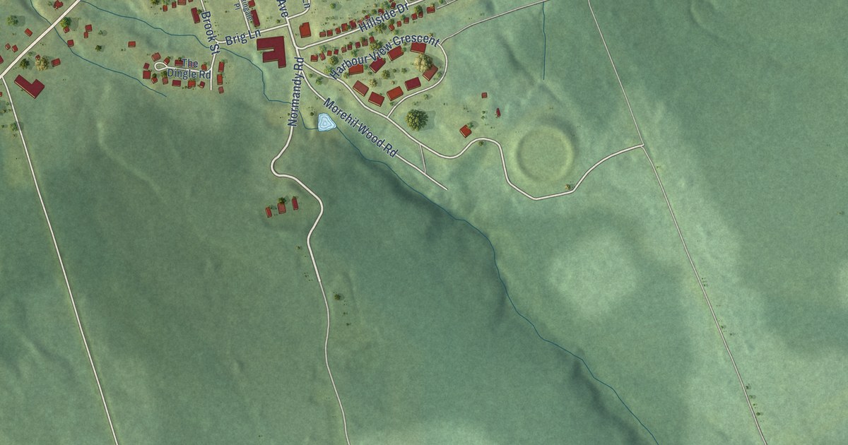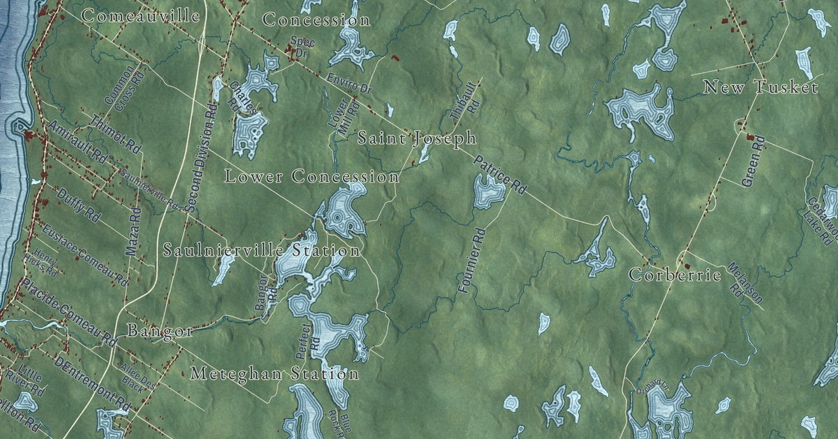
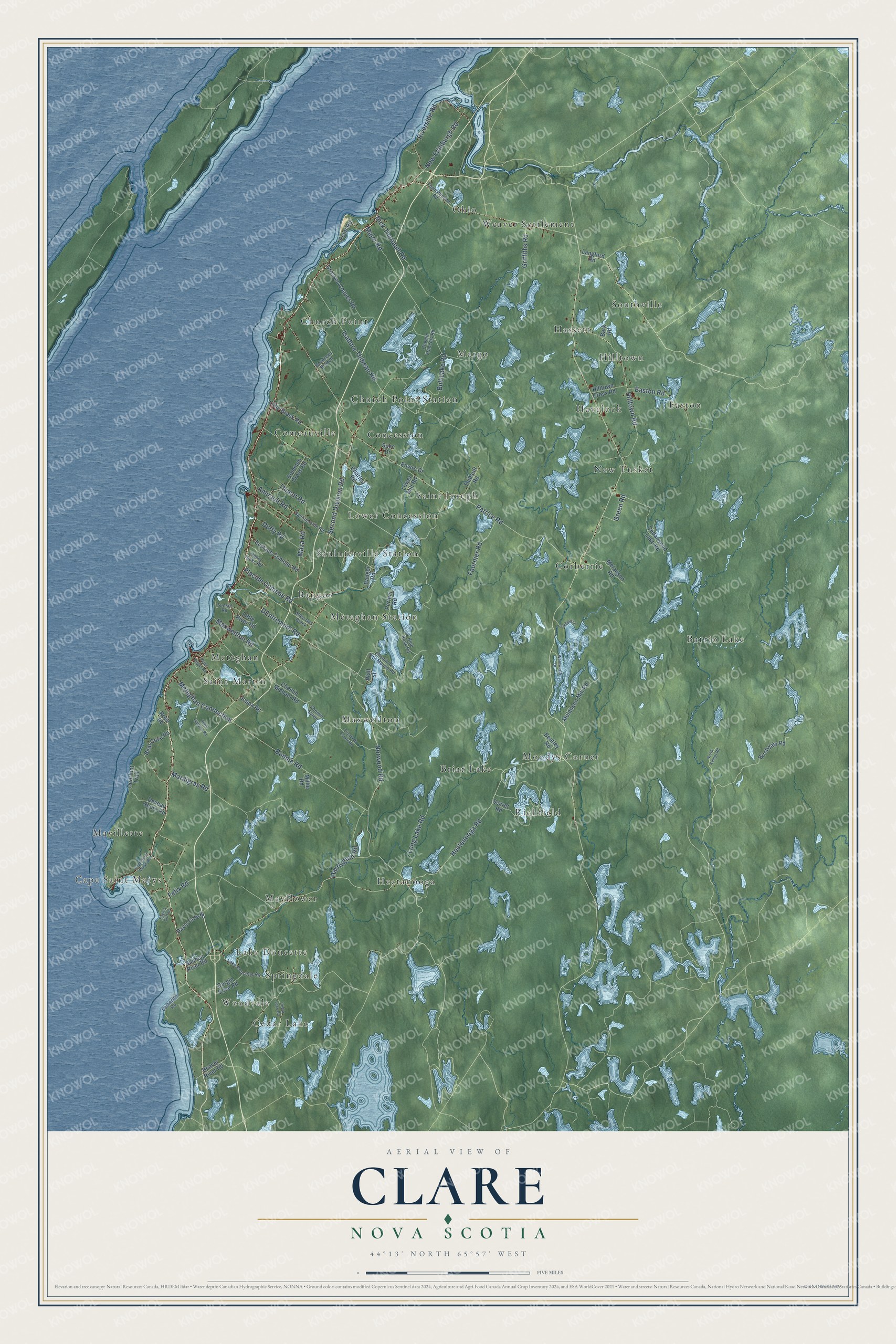
This beautifully detailed map of Clare, Nova Scotia was created in 2026 using aerial imagery combined with modern topographical, census, street and landmark data. It’s a one-of-a-kind view of Clare that combines accurate data with a vintage aesthetic. The map shows every building in its true location, many of the roads carry their names, and the shaded topographic relief shows the shape of the land.
Explore an aerial view of Clare, Nova Scotia
On the map you’ll find Barrio Lake, Hectanooga, Moodys Corner, Easton, Saint Joseph, Mavillette, Meteghan, Maxwellton, Springdale, Comeauville, New Tusket, Corberrie, and more. If you look closely you can even find your house accurately drawn in its correct location. Zoom in on the preview to look for yours.
Take a closer look at the Clare map
Names on this map
These names are printed on this map.
Places: Barrio Lake, Hectanooga, Moodys Corner, Easton, Saint Joseph, Mavillette, Meteghan, Maxwellton, Springdale, Comeauville, New Tusket, Corberrie, Church Point, Southville, Margo, Mayflower, Weaver Settlement, Hassett, Cape Saint Marys, Lower Concession, Meteghan Station, Church Point Station, Cedar Lake, Briar Lake, Havelock, Richfield, Lake Doucette, Saint Martin, Ohio, Saulnierville Station, Hilltown, Woodvale, Concession and Bangor.
Streets and roads: Second Division Road, Hectanooga Road, Norwood Road, Maza Road, DEntremont Road, Meteghan Connection, Patrice Road, Bonnie Road, Felix Road, Placide Comeau Road, Isadore Thibeau Road, Harrington Road.
More street names, A to Z
Allée Des Black, Amirault Road, Bangor Road, Bark Road, Bear Cove Road, Beaver River Road, Bentley Road, Birchdale Road, Blue Rock Road, Boudreau Branch, Bull Lake Road, Cape Saint Marys Road, Catherine Road, Cedar Lake Road, Cedarwood Lake Road, Charles Road, Chemin Du P'tit Moulin Road, Chemin Francois Road, Chemin Michael Road, Chemin Sylvio, Common Cross Road, Dargie Cove Road, Davis Cove Road, Deerfoot Trail, Deveau Shore Road, Dick Theriault Road, Duffy Road, Eagles Cliff Drive, Easton Road, Elizabeth Estate Road, Enviro Drive, Eustace Comeau Road, Fournier Road, Green Road, Griffiths Road, Grosses Coques Road, Henry Hicks Road, Hilltown Cross Road, Hilltown Road, Joppa Road, Lake Doucette Road, Langford Road, Little Brook Road, Little River Road, Long Lake Road, Lower Mill Road, Major Road, Mardigras Road, Maxwellton Road, Melanson Mill Road, Melanson Road, Millie Road, New Edinburgh Road, North Kempt Road, Orchard Lane, Perfect Road, Peter Dugas Road, Peter Leblanc Road, Point Road, Riverside Road, Ross Road, Salmon River Road, Saulnierville Road, Secret Road, Spec Drive, Sunset Road, Thibault Road, Thimot Road, Townshipline Road, Wall Street, Wentworth Drive.
See it on a wall
The Clare map as an 18 x 24 inch print in a black frame.

This beautifully detailed map of Clare makes an attractive addition to your office, library, or den, and it can even be used to teach children the geography and history of the area. It also makes a great gift for someone who left Clare and still calls it home. When you’re done exploring, click here to get your copy of the Clare map.