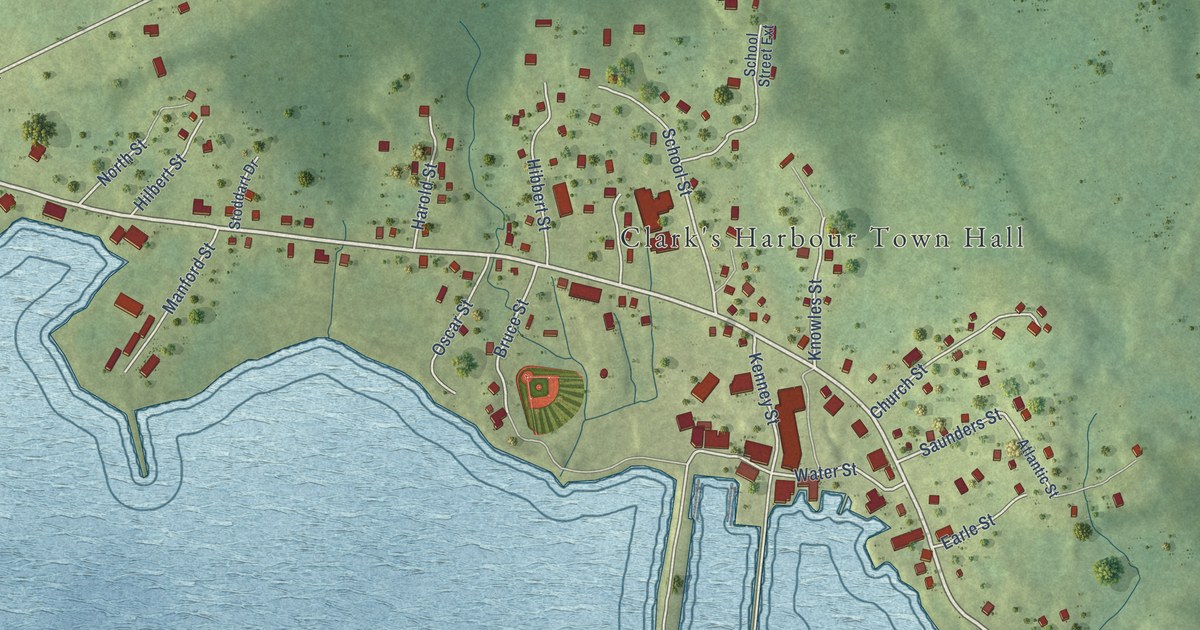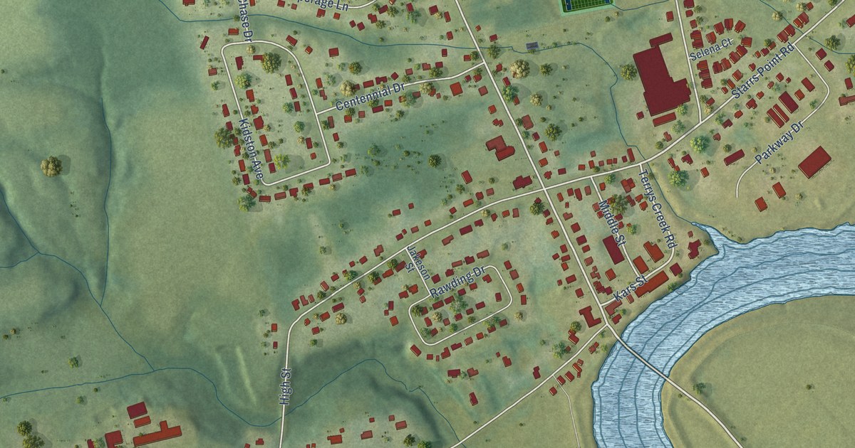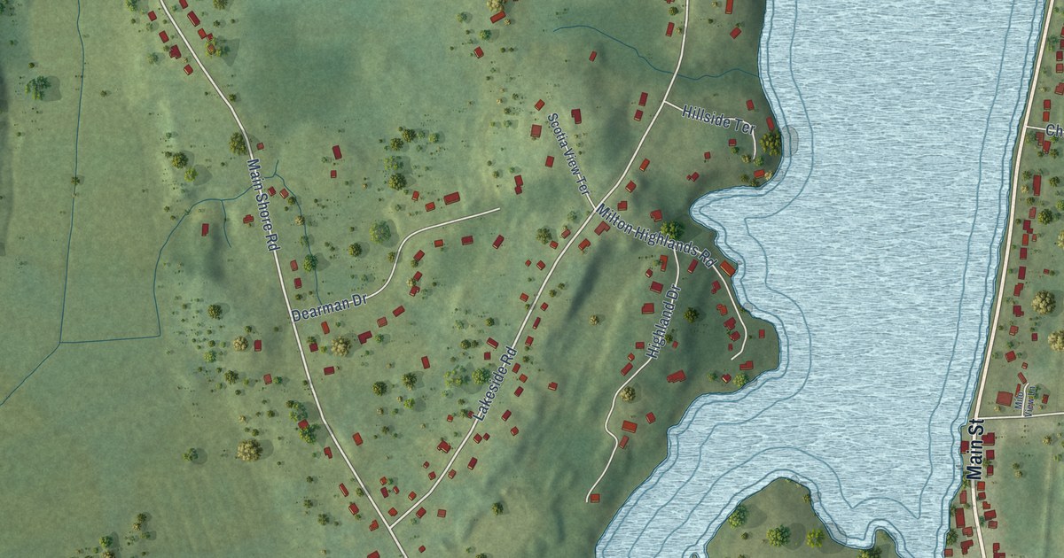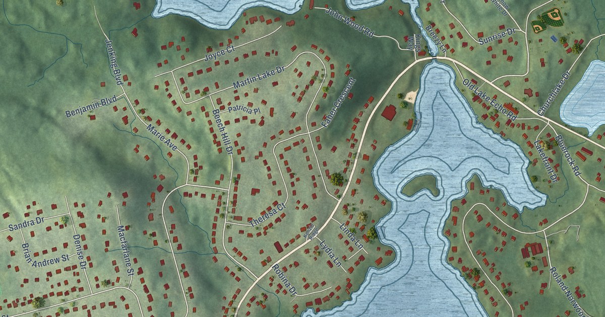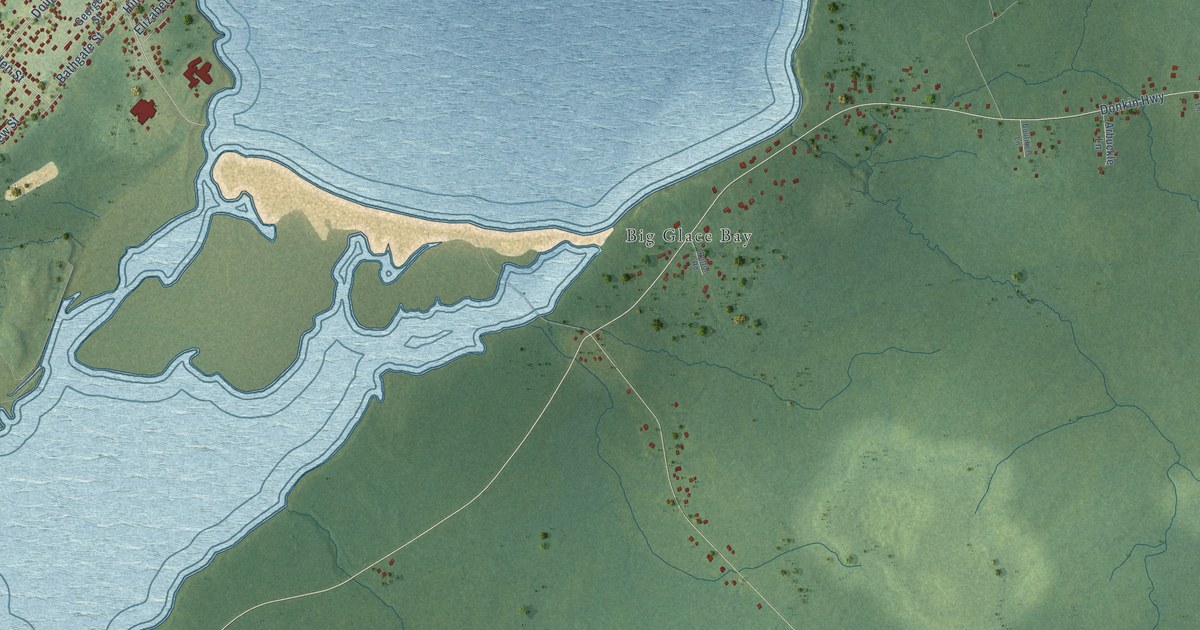
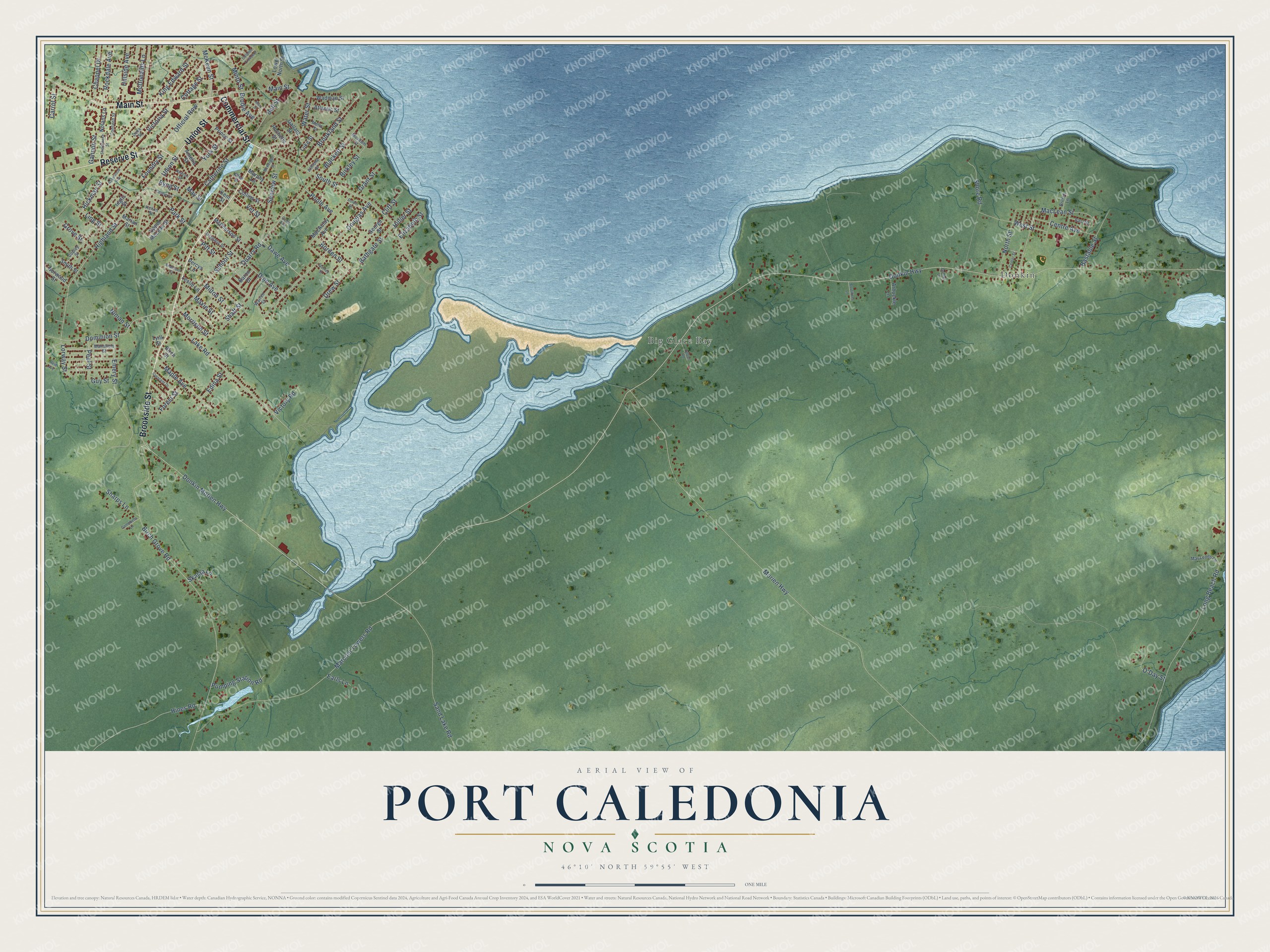
This beautifully detailed map of Port Caledonia, Nova Scotia was created in 2026 using aerial imagery combined with modern topographical, census, street and landmark data. It’s a one-of-a-kind view of Port Caledonia that combines accurate data with a vintage aesthetic. The map shows every building in its true location, many of the roads carry their names, and the shaded topographic relief shows the shape of the land.
Explore an aerial view of Port Caledonia, Nova Scotia
On the map you’ll find Big Glace Bay and Donkin, along with Brookside Street, Commercial Street, Reserve Street, Main Street, Union Street, Park Street, Donkin Morien Highway, Donkin Highway, School Street, Pitt Street, and more. If you look closely you can even find your house accurately drawn in its correct location. Zoom in on the preview to look for yours.
Take a closer look at the Port Caledonia map
Names on this map
These names are printed on this map.
Places: Big Glace Bay and Donkin.
Streets and roads: Brookside Street, Commercial Street, Reserve Street, Main Street, Union Street, Park Street, Donkin Morien Highway, Donkin Highway, School Street, Pitt Street, Dominion Street, South Street.
More street names, A to Z
Allen Street, Amelia Street, Anderson Street, Arbuckle Lane, Athlone Street, Atlantic Street, Baron Drive, Bastable Street, Bathgate Street, Bell Street, Birch Grove Road, Birch Street, Birkley Street, Blackett Street, Borden Street, Boutiliers Lane, Briffett Lane, Brodie Avenue, Brookland Street, Byng Street, Campbells Lane, Carrol Street, Caseys Lane, Catherine Street, Center Street, Centre Avenue, Chappel Drive, Cliff Street, Cole Avenue, Collins Street, Concord Street, Copley Street, Cottage Street, Crescent Drive, Dawe Avenue, Dinn Avenue, Dolbin Street, Dolphin Crescent, Douglas Avenue, Dragatis Street, Drew Street, Duke Street, Earls Lane, East Street, Edina Street, Elizabeth Street, Emery Street, Forest Street, Foundry Street, Gallant Street, Gannon Street, George Street, Grant Street, Greens Lane, Grove Street, Guy Street, Hickman Street, Highland Street, Hillier Street, Hillside Avenue, Hines Road, Inglis Street, Kelvin Street, Kent Street, King Edward Street, Lake Road, Leslie Lane, Ling Street, Long Beach Road, Lorway Street, Lower North Street, Luke Street, Lynk Street, MacAulay Avenue, MacLean Street, MacLeods Lane, Mansfield Street, Maple Avenue, Marconi Towers Road, Marian Street, Mary Street, Maxie Street, May Street, McDonalds Lane, McKeen Street, McKeigan Street, McPherson Street, Mello Street, Milton Street, Minto Street, Morien Highway, Morrison Street, Murphy Lane, Museum Street, Newton Street, Ninian Street, Nolans Lane, North Street, Norwood Street, O'Day Street, Official Row, Patton Road, Peel Street, Percys Lane, Poole Avenue, Prince Street, Pumping Station Road, Quarry Road, Reid Avenue, Rochelle Street, Rockdale Avenue, Rosewood Avenue, Sand Lake Road, Seaview Street, Shaft Street, Sharps Lane, Sherbrooke Street, Shore Road, Skalaa Lane, Smith Street, Stanley Street, Upper McLean Street, Vet Street, Victoria Street, Victory Road, Wadman Street, Warren Street, Water Street, West Street, York Street.
See it on a wall
The Port Caledonia map as an 18 x 24 inch print in a black frame.

This beautifully detailed map of Port Caledonia makes an attractive addition to your office, library, or den, and it can even be used to teach children the geography and history of the area. It also makes a great gift for someone who left Port Caledonia and still calls it home. When you’re done exploring, click here to get your copy of the Port Caledonia map.