Detailed Map of Phoebus, Virginia
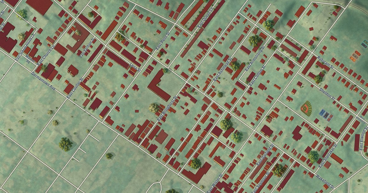
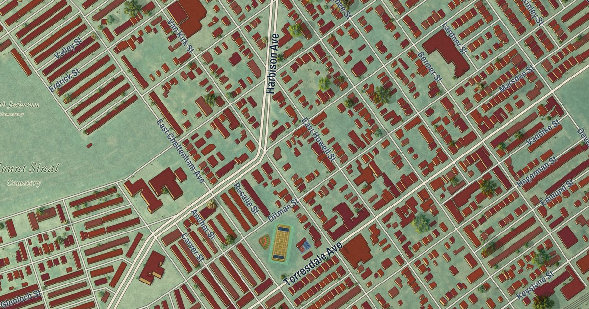
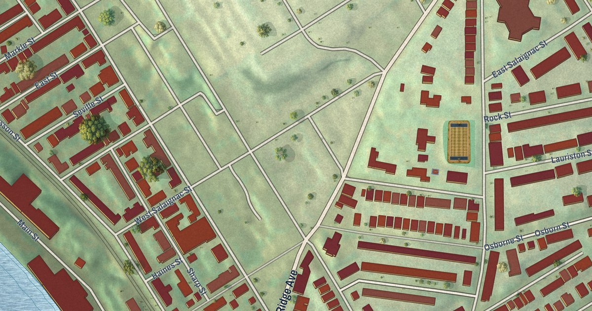
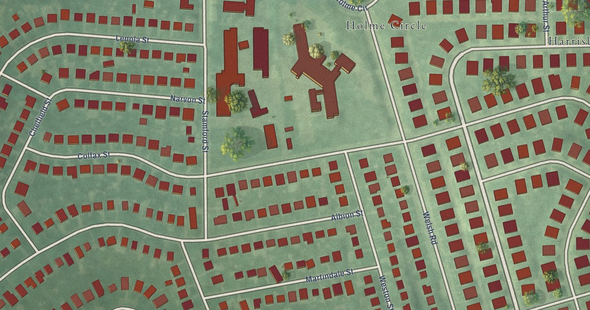
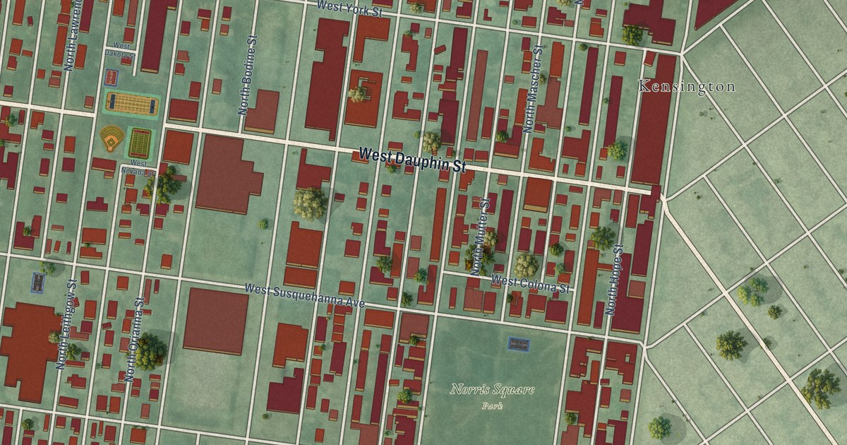
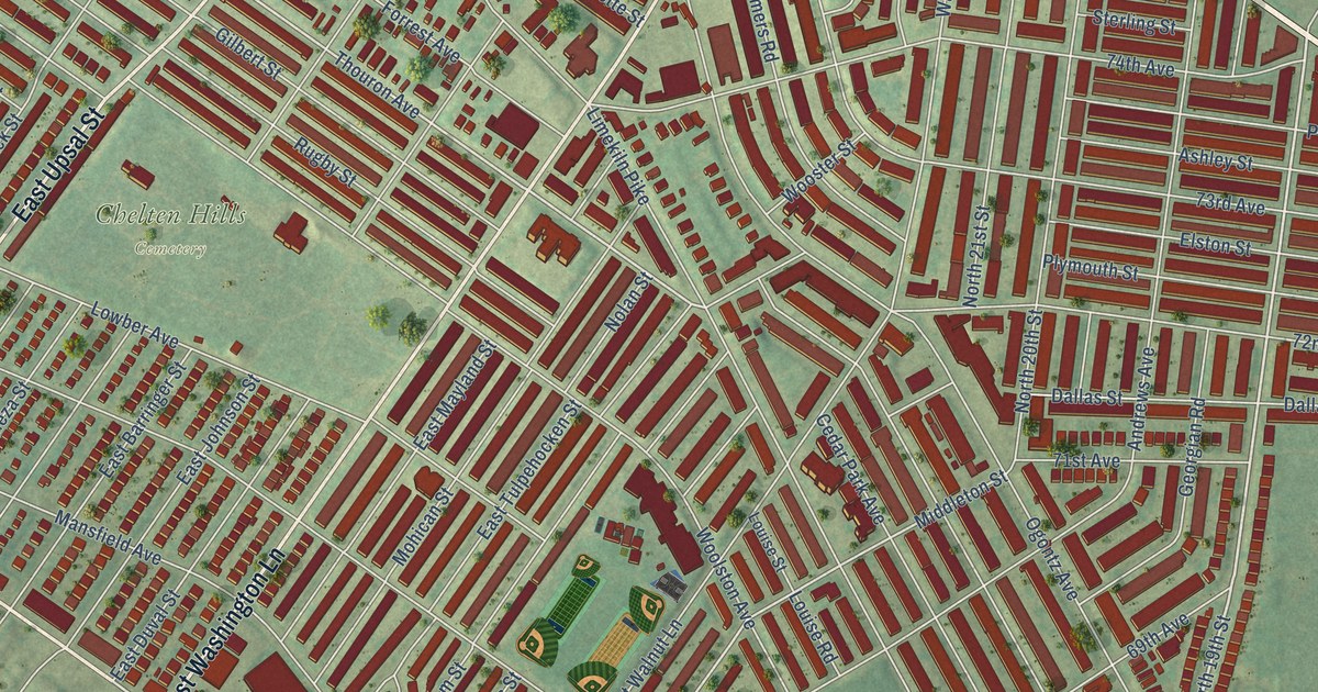
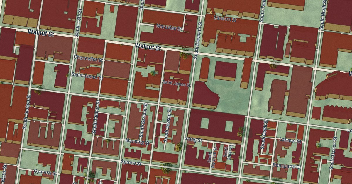
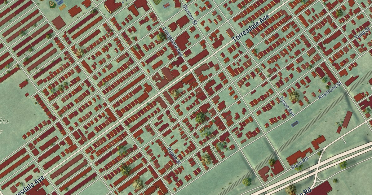
A detailed map of Phoebus, Virginia, showing every building in its true location, the roads by name, and shaded topographical relief.

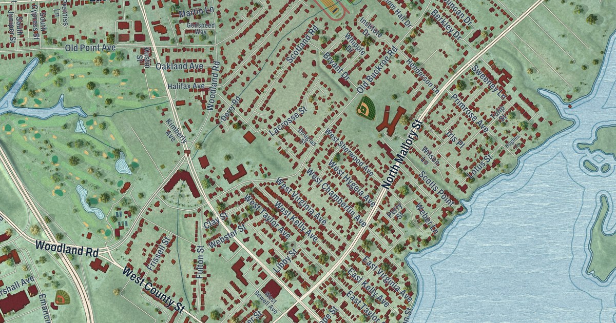
A detailed map of Phoebus, Virginia, showing every building in its true location, the roads by name, and shaded topographical relief.
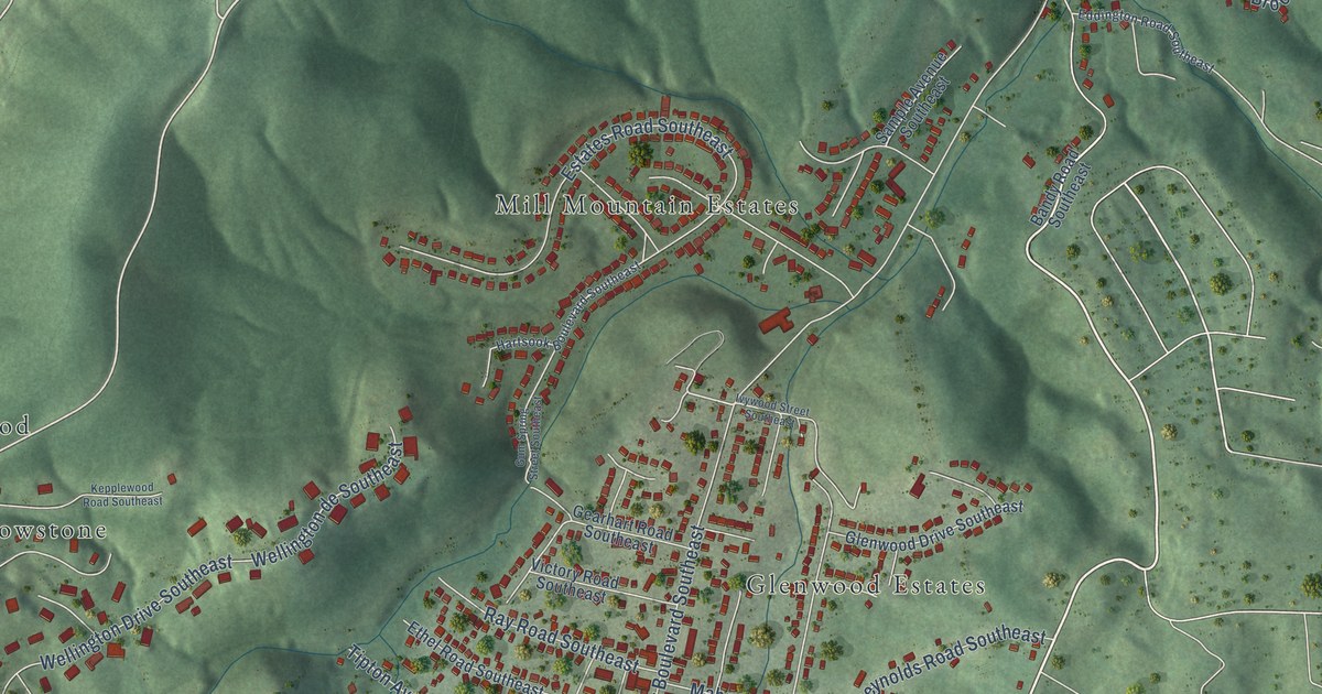
A detailed map of Garden City, Virginia, showing every building in its true location, the roads by name, and shaded topographical relief.
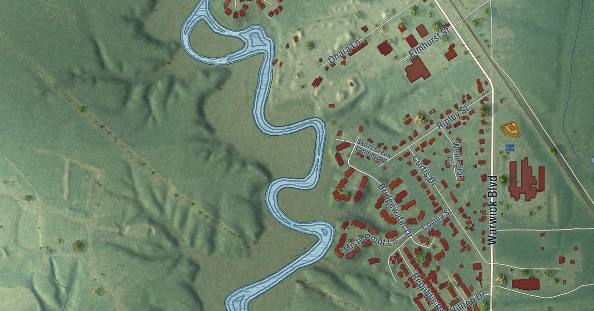
A detailed map of Lee Hall, Virginia, showing every building in its true location, the roads by name, and shaded topographical relief.
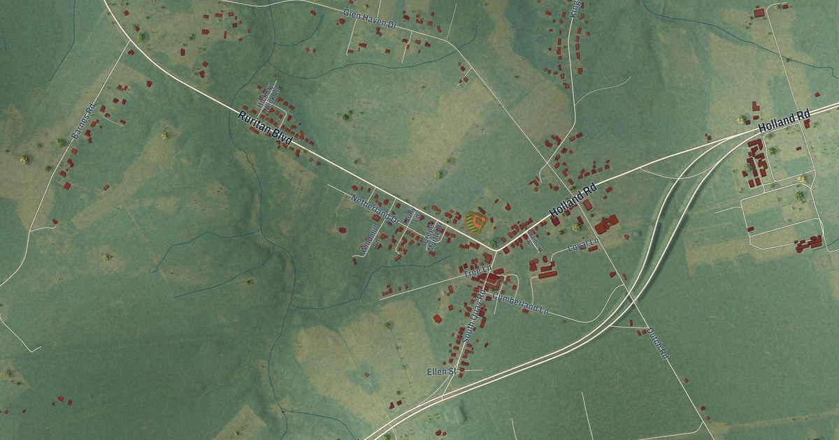
A detailed map of Holland, Virginia, showing every building in its true location, the roads by name, and shaded topographical relief.
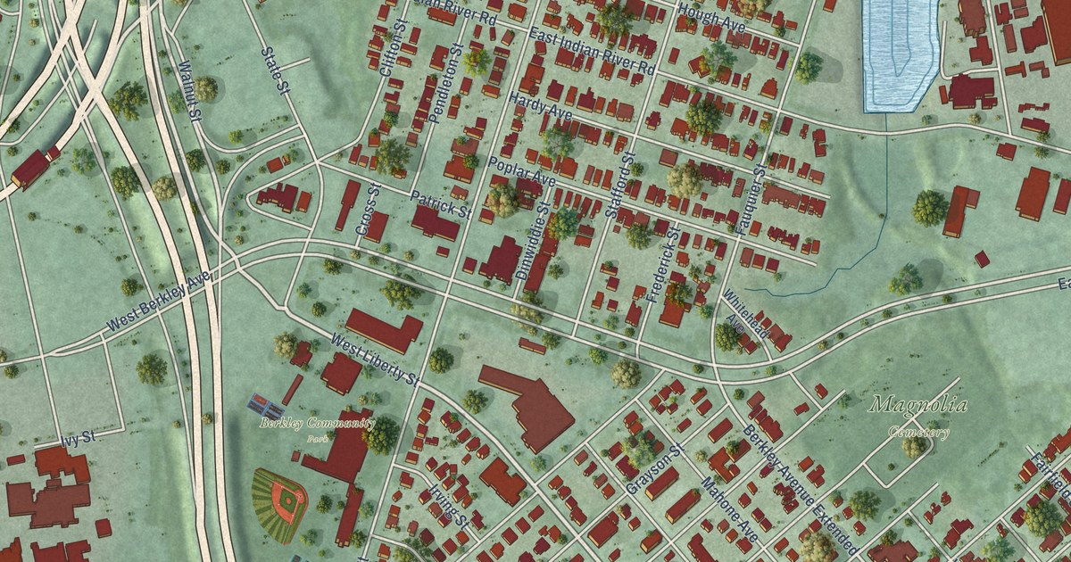
A detailed map of Berkley, Virginia, showing every building in its true location, the roads by name, and shaded topographical relief.
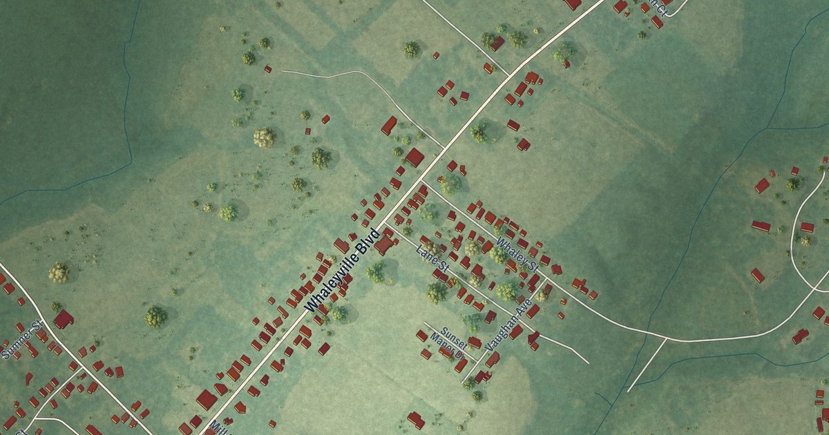
A detailed map of Whaleyville, Virginia, showing every building in its true location, the roads by name, and shaded topographical relief.
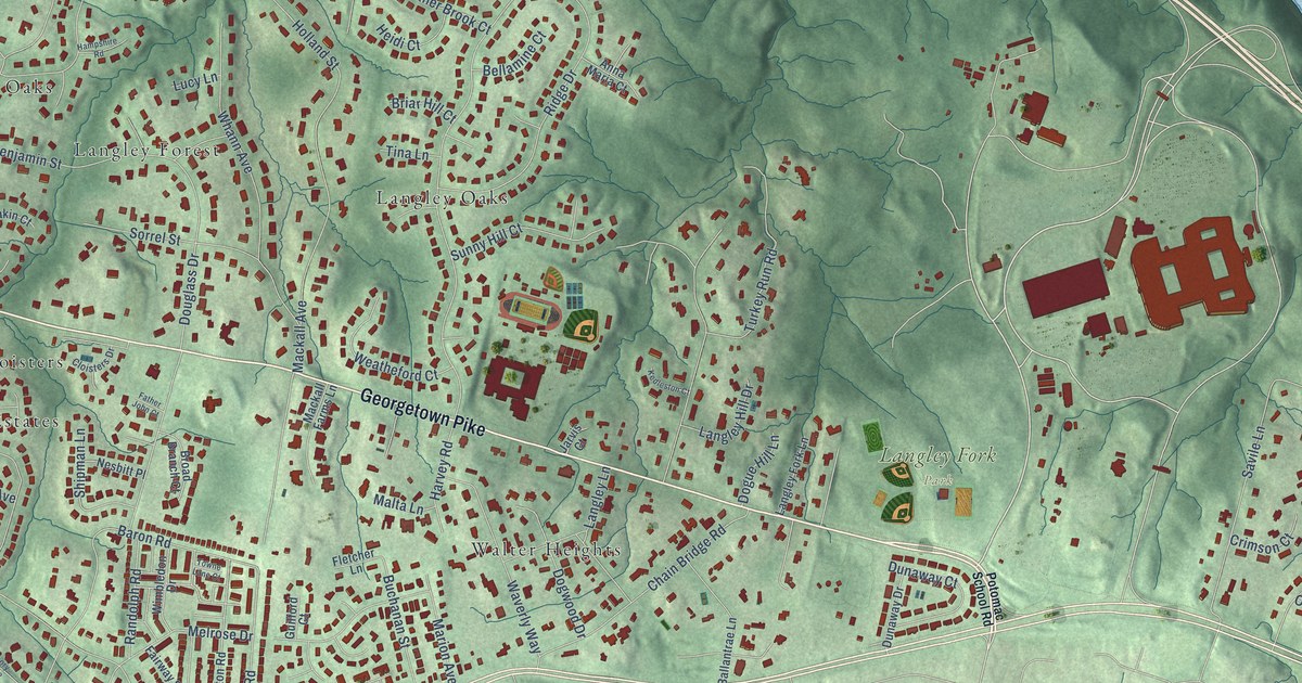
A detailed map of Langley, Virginia, showing every building in its true location, the roads by name, and shaded topographical relief.
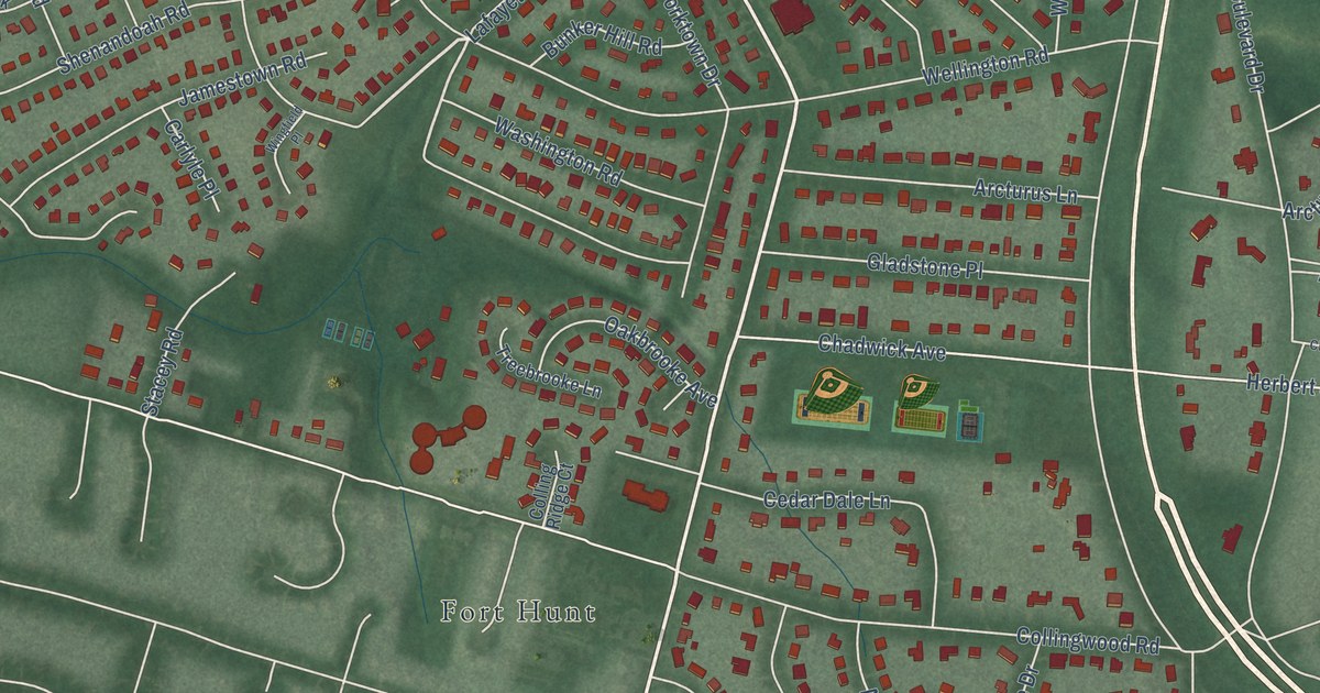
A detailed map of Waynewood, Virginia, showing every building in its true location, the roads by name, and shaded topographical relief.
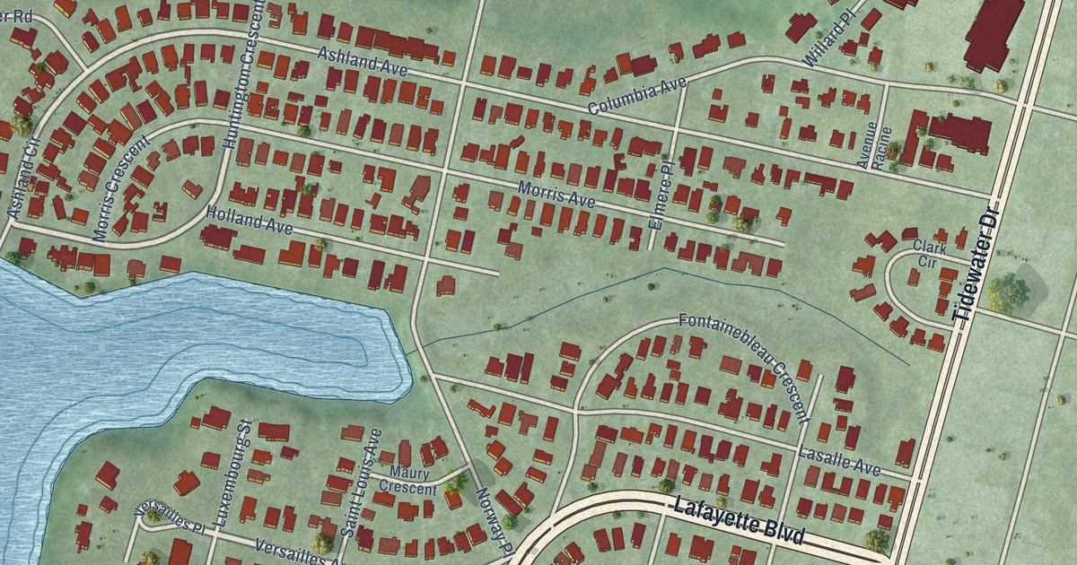
A detailed map of Winona, Virginia, showing every building in its true location, the roads by name, and shaded topographical relief.
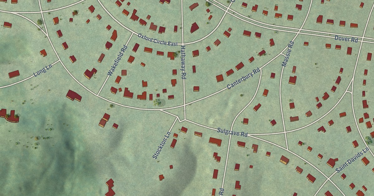
A detailed map of Windsor Farms, Virginia, showing every building in its true location, the roads by name, and shaded topographical relief.