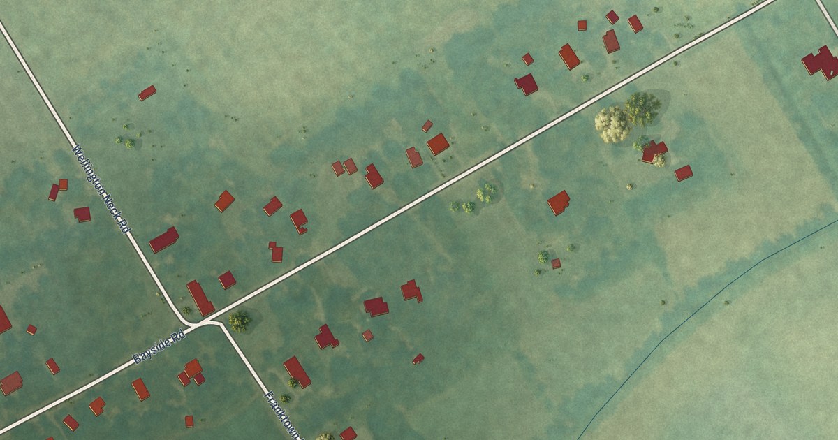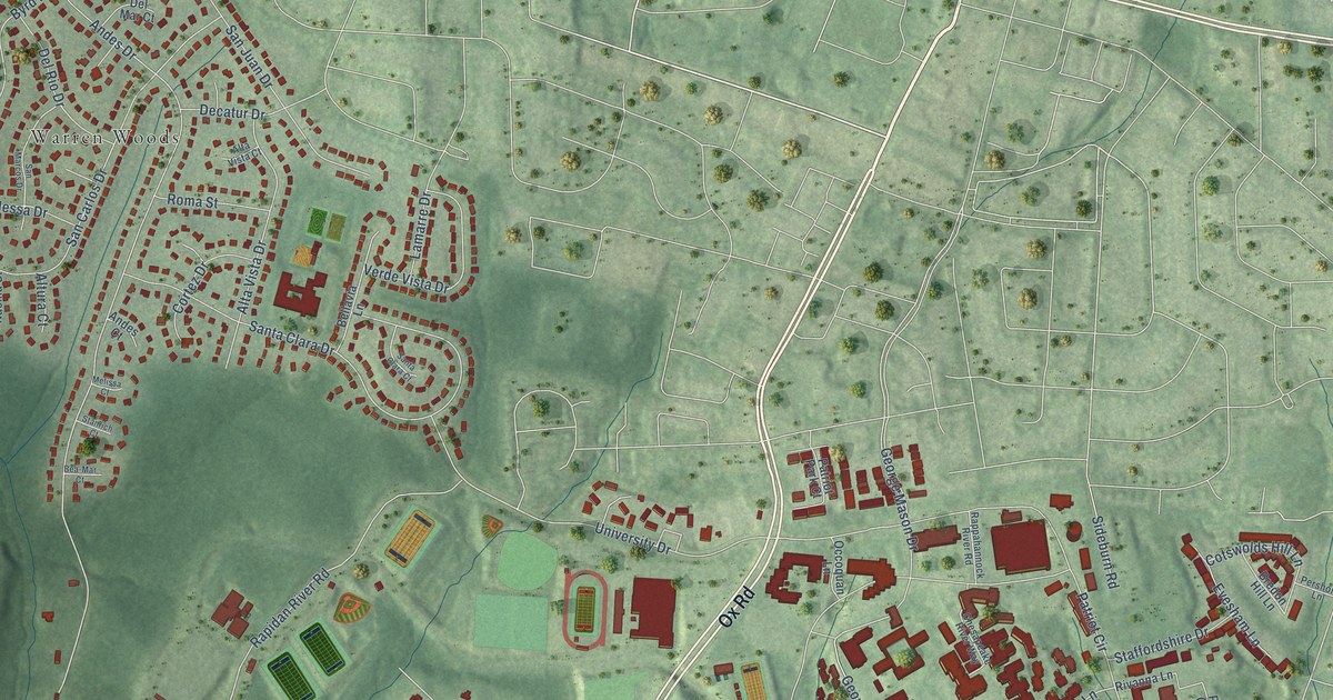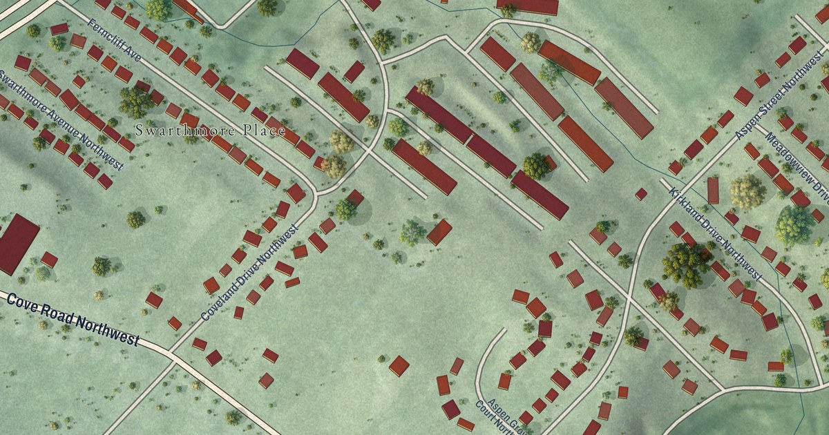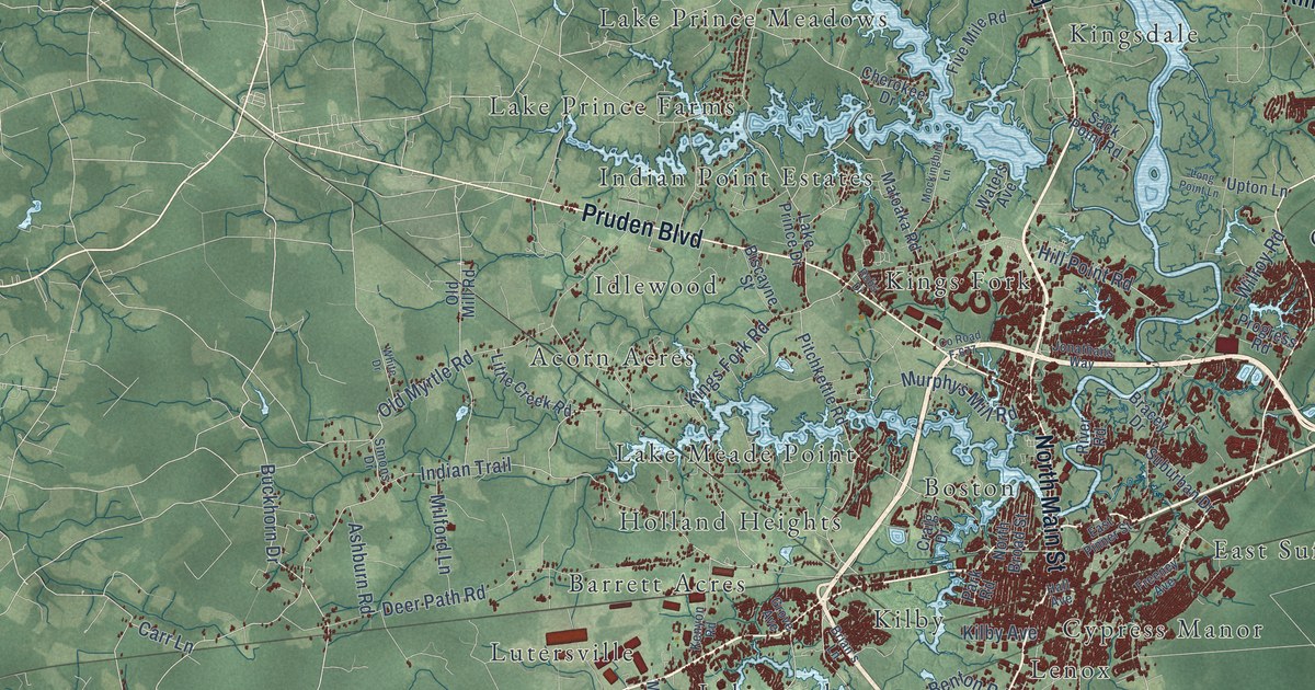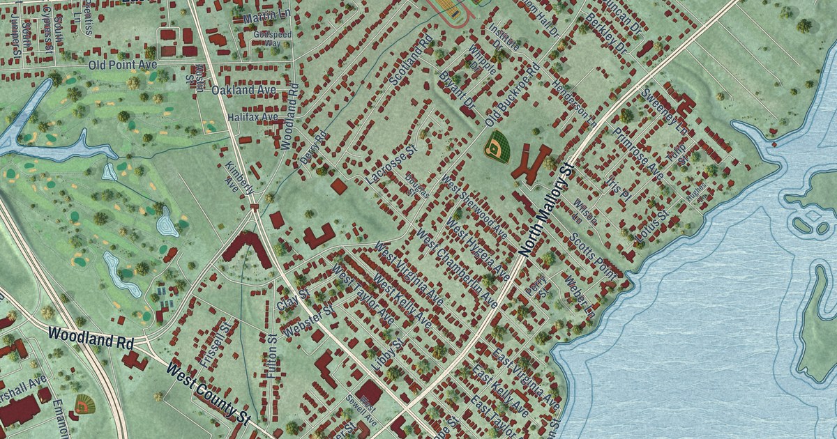
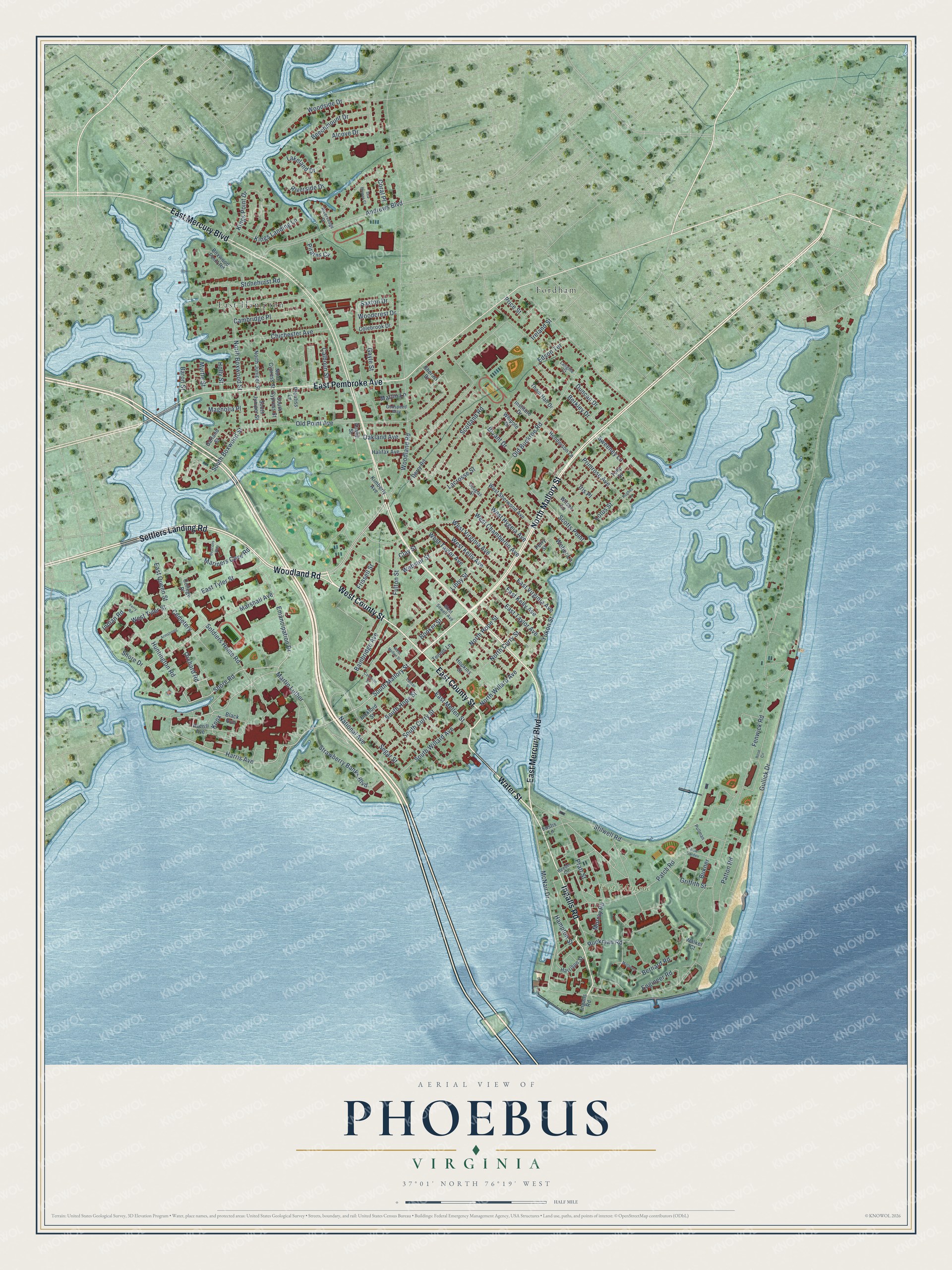
This beautifully detailed map of Phoebus, Virginia was created in 2026 using aerial imagery combined with modern topographical, census, street and landmark data. It’s a one-of-a-kind view of Phoebus that combines accurate data with a vintage aesthetic. The map shows every building in its true location, many of the roads carry their names, and the shaded topographic relief shows the shape of the land.
Explore an aerial view of Phoebus, Virginia
On the map you’ll find Fort Monroe, Fordham, and East Hampton, along with East Mercury Boulevard, West County Street, Water Street, Woodland Road, North Mallory Street, Settlers Landing Road, Ingalls Road, East Pembroke Avenue, East County Street, and more. If you look closely you can even find your house accurately drawn in its correct location. Zoom in on the preview to look for yours.
Did You Know?
From Internet Archive: "Three dietary studies were made at Butlers Farm, tfye only distinctive negro settlement of the county, and two at Phoebus."
Phoebus is a place in City of Hampton.
Take a closer look at the Phoebus map
Names on this map
These names are printed on this map.
Places: Fort Monroe, Fordham, East Hampton and Cemetery.
Streets and roads: East Mercury Boulevard, West County Street, Water Street, Woodland Road, North Mallory Street, Settlers Landing Road, Ingalls Road, East Pembroke Avenue, East County Street, Harris Avenue, South Mallory Street, McNair Drive.
More street names, A to Z
Alcove Drive, Andrews Boulevard, Armstrong, Austin Street, Averill Avenue, Bainbridge Avenue, Baron Street, Beacons Way, Beechmount Drive, Berkley Drive, Bernard Road, Bickford Street, Black Avenue, Booker Street, Boxwood Point Road, Bryant Drive, Bukner, Calhoun Street, Cambridge Place, Cameron Street, Chichester Avenue, Clay Street, Colebrook Drive, College Place, Coral Place, Derry Road, Douglas Street, Duncan Drive, East Kelly Avenue, East Mellen Street, East Queen Street, East Taylor Avenue, East Tyler Street, East Virginia Avenue, Edson Terrace, Emancipation Drive, Engineer Road, Eustis Lane, Fenwick Road, Ferry Road, Frissell Street, Fulton Street, Garland Street, Gayle Street, Godspeed Way, Griffith Street, Gullick Drive, Halifax Avenue, Hampton Street, Harrison Street, Henderson Lane, Holly Street, Hopkins Street, Hughes Lane, Huntington Road, Indian Road, Institute Drive, Ireland Street, Iris Place, Kimberly Avenue, Kings Landing Lane, Kings Point Drive, Knox, Lacrosse Street, Lakeland Drive, Lancer Street, Langille Court, Libby Street, Lotus Street, Magnolia Place, Mariners Cove Road, Marshall Avenue, Martin Lane, Martin Luther, Mathews, Murray Road, Myrtle Street, National Avenue, New Garden, North Boxwood Street, North Curry Street, North Cypress Street, North Hope Street, North Juniper Street, North Willard Avenue, Oakland Avenue, Old Buckroe Road, Old Point Avenue, Orchard Road, Patch Road, Patton Road, Perry Street, Pirates Cv, Pratt Street, Prentiss Lane, Price Street, Primrose Avenue, Pullman, Reeder Circle, Riversedge Drive, Riverside Drive, Rose Circle, Ruckman Road, Saxton Drive, Scotland Road, Scotts Point, Sea Breeze Court, Segar Street, Sherazi Drive, Shore Drive, Shore Road, Soldiers Home Road, South Boxwood Street, South Curry Street, South Cypress Street, South Hope Street, South Juniper Street, South Willard Avenue, Stilwell Road, Stonehurst Road, Strawberry Banks Boulevard, Sweeney Lane, Tennis Lane, Thom Hall Drive, Tulip Street, Walker Court, Weber Lane, Webster Street, West Chamberlin Avenue, West Hygeia Avenue, West Kelly Avenue, West Mellen Street, West Sewell Avenue, West Sherwood Avenue, West Taylor Avenue, West Tyler Street, West Virginia Avenue, Whipple Drive, Wilson Lane, Woodcrest Drive, Woodside Drive, Yukon Street.
See it on a wall
The Phoebus map as a framed print. Swipe for more.


This beautifully detailed map of Phoebus makes an attractive addition to your office, library, or den, and it can even be used to teach children the geography and history of the area. It also makes a great gift for anyone with Phoebus roots. When you’re done exploring, click here to get your copy of the Phoebus map.